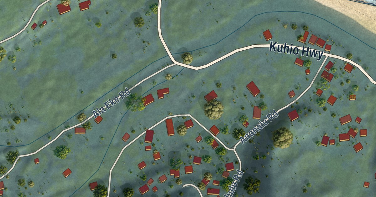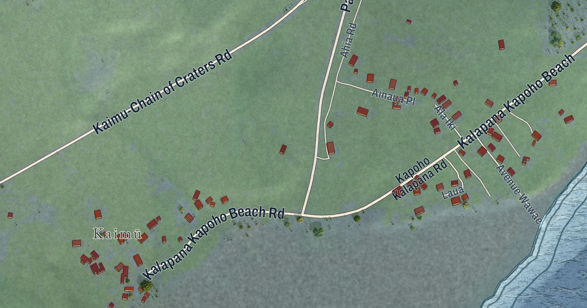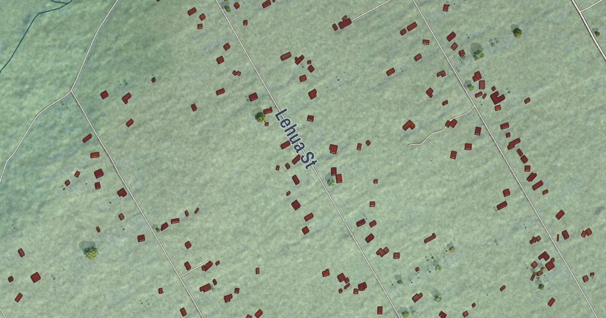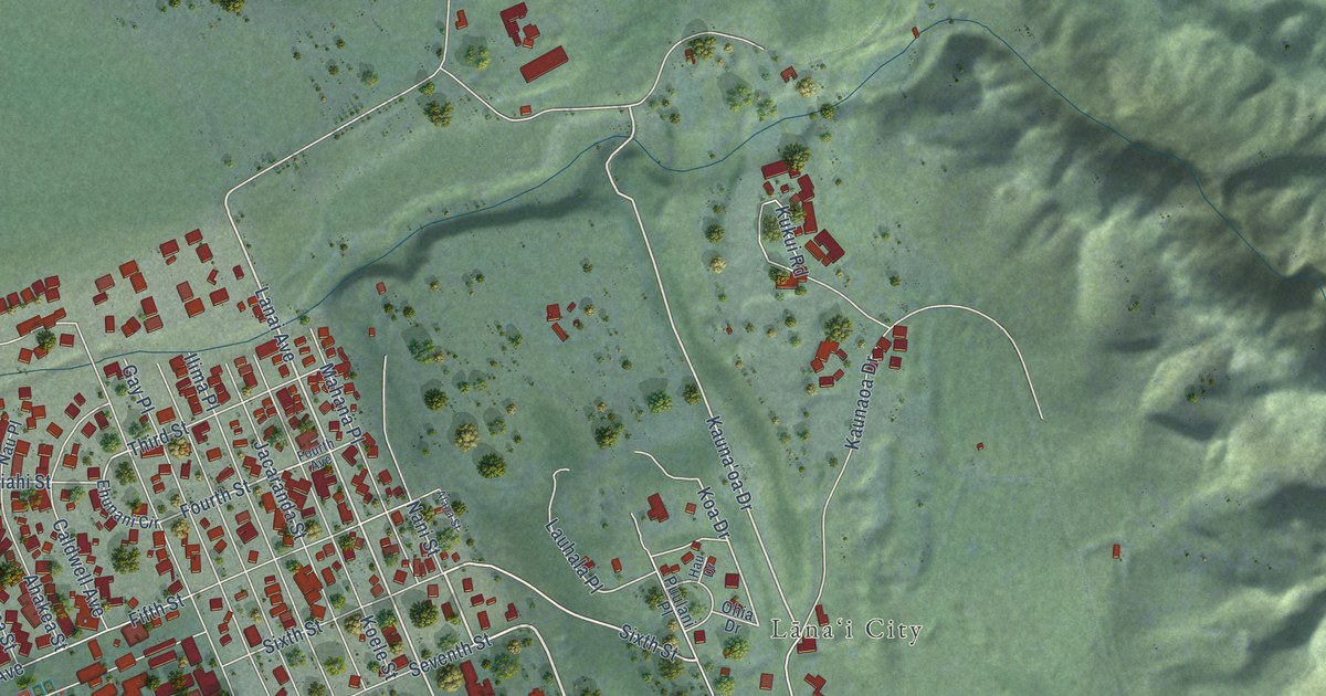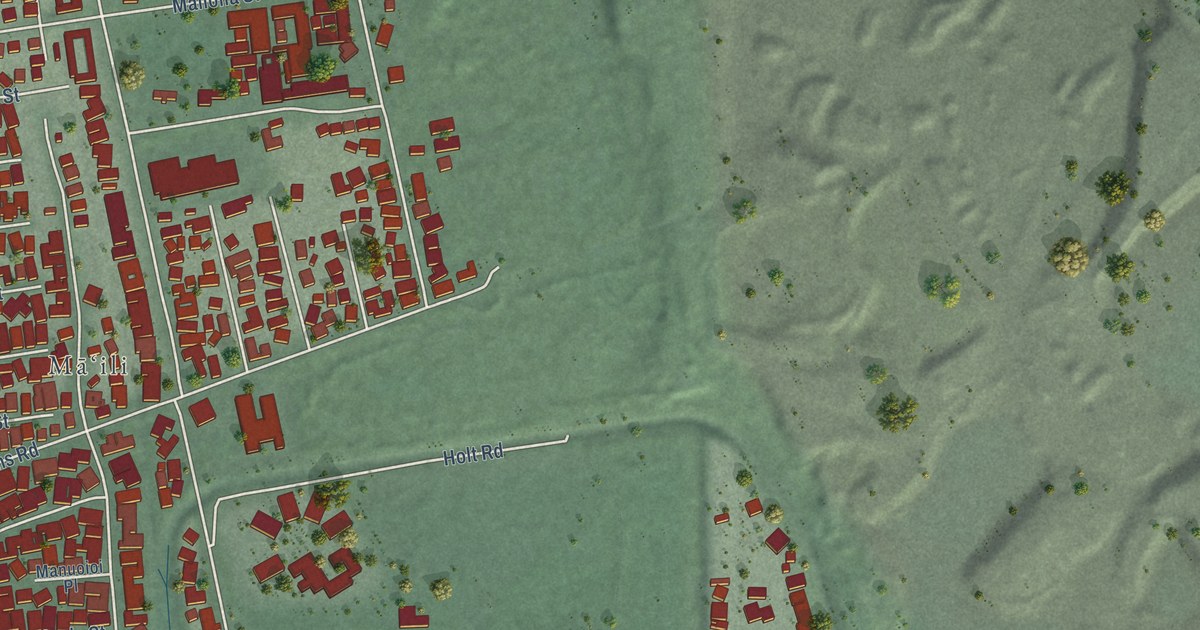
This beautifully detailed map of Maili, Hawaii was created in 2026 using aerial imagery combined with modern topographical, census, street and landmark data. It’s a one-of-a-kind view of Maili that combines accurate data with a vintage aesthetic. The map shows every building in its true location, many of the roads carry their names, and the shaded topographic relief shows the shape of the land.
Explore an aerial view of Maili, Hawaii
On the map you’ll find Māʻili, along with Farrington Highway, Pakeke Street, Kaukamana Road, Kulaaupuni Street, Kaukama Road, Paakea Road, Manuaihue Street, Maliona Street, Mokila Street, Saint Johns Road, Anaha Street, and more. If you look closely you can even find your house accurately drawn in its correct location. Zoom in on the preview to look for yours.
Did you know this about Maili, Hawaii?
In Hawaiian, the word maili means pebbly. The name refers to the rounded stones found along the shore here. Maili Beach Park covers forty acres. It holds two well-known Hawaiian surf spots, Green Lanterns and Tumbleland.
Take a closer look at the Maili map
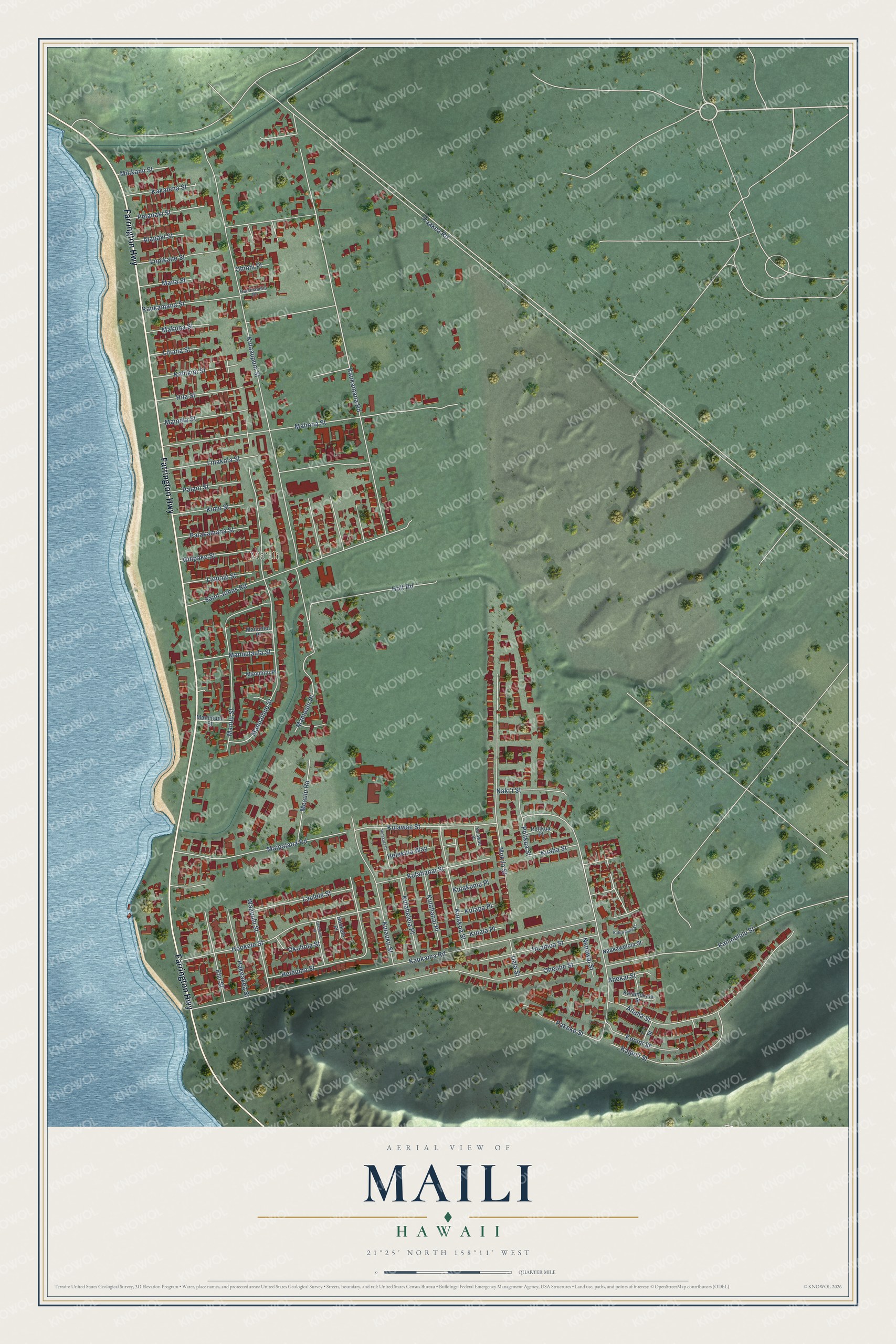
Street and place names on the Maili, Hawaii map
These names are printed on the map of Maili, Hawaii.
Places: Māʻili.
Streets and roads: Farrington Highway, Pakeke Street, Kaukamana Road, Kulaaupuni Street, Kaukama Road, Paakea Road, Manuaihue Street, Maliona Street, Mokila Street, Saint Johns Road, Anaha Street, Hookele Street.
More street names, A to Z
Ahekai Street, Alapaki Street, Ehu Street, Gilipake Street, Hakeakea Street, Halemaluhia Place, Helekula Place, Helekula Way, Heleuma Street, Hila Street, Holt Road, Hookele Place, Huamoa Street, Kahiwelola Street, Kaiamekala Street, Kaihoolulu Street, Kaipo'i Street, Kakalena Street, Kaukamana Street, Keliikipi Street, Kimo Street, Konini Street, Kuaha Street, Kulahanai Place, Kulahanai Street, Kulahelela Place, Kulakoa Street, Kulakumu Place, Kulala Place, Kulapa Place, Kulauku Street, Kulawae Place, Kulawae Street, Laulele Street, Liliana Street, Linakola Street, Liopolo Street, Lopikane Street, Maipalaoa Road, Maipela Street, Makona Street, Mamoalii Place, Mana Street, Manuliilii Place, Manununu Street, Manuoioi Place, Manuulaula Street, Manuu Street, Meaulu Road, Milikami Street, Naakawelola Street, Naki'i Street, Nenewai Street, Oheohe Street, Ohiohi Place, Okohola Street, Okokomo Street, Palakamana Street, Palani Street, Pelanaki Street, Pi'i Street, Polikua Place, Polikua Street, Uala Street, Waapuhi Street.
See the Maili, Hawaii map on a wall
The Maili map as an 18 x 24 inch print in a black frame.

This beautifully detailed map of Maili makes an attractive addition to your office, library, or den, and it can even be used to teach children the geography and history of the area. It also makes a great gift for anyone who grew up in Maili or moved away. When you’re done exploring, click here to get your copy of the Maili map.