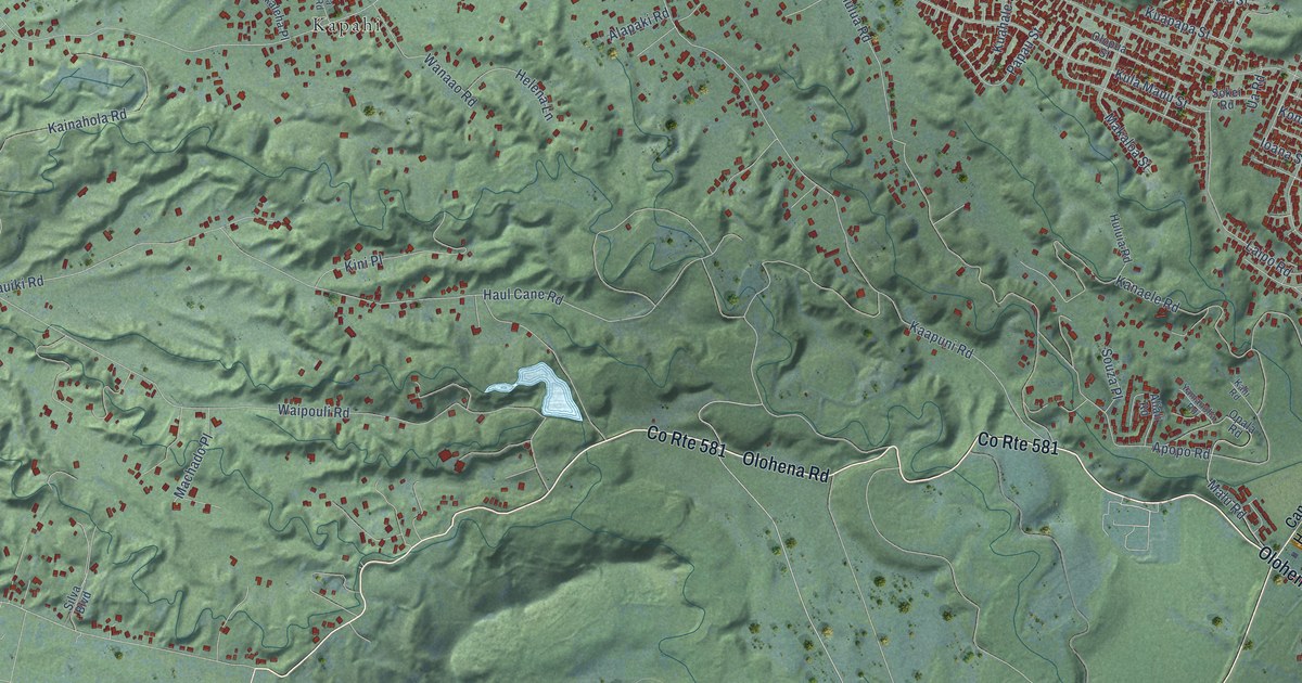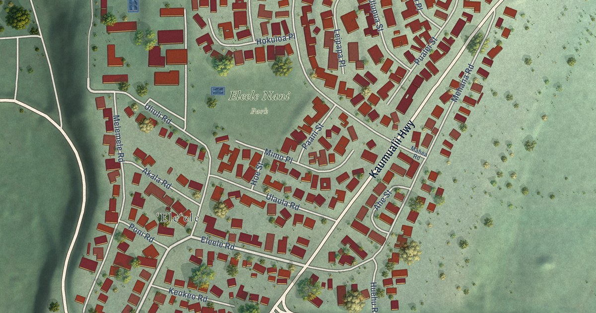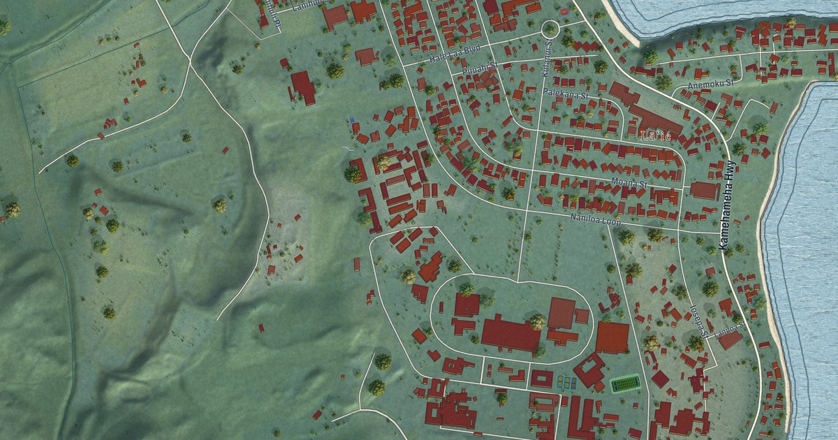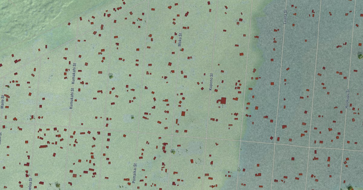
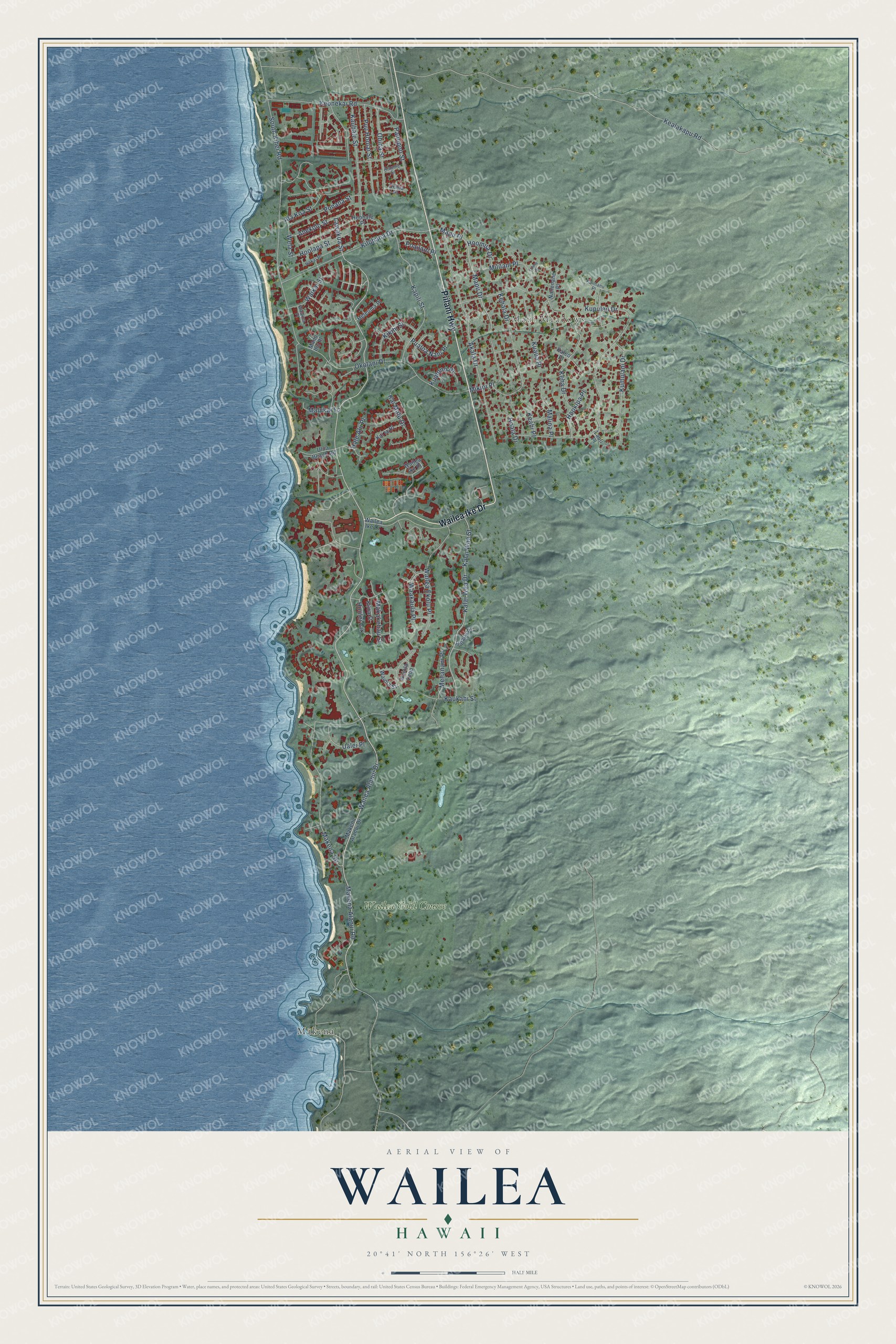
This beautifully detailed map of Wailea, Hawaii was created in 2026 using aerial imagery combined with modern topographical, census, street and landmark data. It’s a one-of-a-kind view of Wailea that combines accurate data with a vintage aesthetic. The map shows every building in its true location, many of the roads carry their names, and the shaded topographic relief shows the shape of the land.
Explore an aerial view of Wailea, Hawaii
On the map you’ll find Maui Meadows, Mākena, and Wailea Gold Course, along with Piilani Highway, Wailea Ike Drive, Wailea Alanui Drive, Lawakua Street, Makena Alanui Road, Hoolei Circle, Kupulau Drive, South Kihei Road, Makena Road, and more. If you look closely you can even find your house accurately drawn in its correct location. Zoom in on the preview to look for yours.
Did you know this piece of Wailea, Hawaii history?
From the Hawaii Activities: "The development of Wailea began in 1971, driven by a partnership between Alexander & Baldwin and Northwestern Mutual."
Take a closer look at the Wailea map
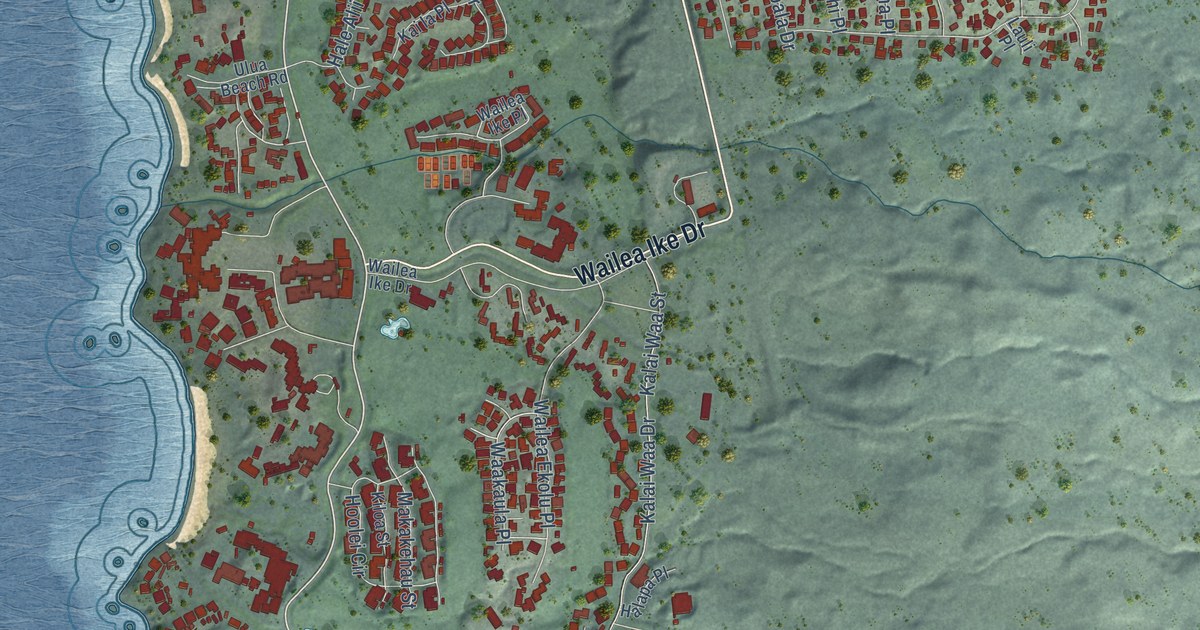
Street and place names on the Wailea, Hawaii map
These names are printed on the map of Wailea, Hawaii.
Places: Maui Meadows, Mākena and Wailea Gold Course.
Streets and roads: Piilani Highway, Wailea Ike Drive, Wailea Alanui Drive, Lawakua Street, Makena Alanui Road, Hoolei Circle, Kupulau Drive, South Kihei Road, Makena Road, Akala Drive, Kumulani Drive, Okolani Drive.
More street names, A to Z
Ahekolo Street, Ala Koa Street, Alaume Street, Halapa Place, Hale Alii Place, Heleuma Place, Hoala Drive, Hokai Place, Hoohale Place, Hookipa Place, Hoolapa Street, Hoomua Drive, Kai la Place, Kai Malu Drive, Kaimanu Place, Kalai Waa Drive, Kalai Waa Street, Kaleo Place, Kapili Street, Kauhale Street, Kaukahi Street, Keahi Place, Kealakapu Road, Keha Drive, Kehala Drive, Keonekai Road, Kikihi Street, Kiloa Street, Kilohana Drive, Kualono Place, Kuaua Place, Lauli Place, Luana Place, Makakehau Street, Makena Alanui Drive, Malina Place, Malukai Lane, Manu Ihu Place, Mapu Drive, Mapu Place, Melianani Place, Mikioi Place, Mililani Place, Nahenahe Place, Ohina Place, Ohina Street, Panepoo Street, Poailani Place, Ponana Street, Pualoa Nani Place, Puu Hoolai Street, Ualei Place, Ulua Beach Road, Waakaula Place, Waakea Place, Waikai Street, Wailea Ekolu Place, Wailea Ike Place, Waiola Loop, Waiola Street, Wela Street.
See the Wailea, Hawaii map on a wall
The Wailea map as an 18 x 24 inch print in a black frame.

This beautifully detailed map of Wailea makes an attractive addition to your office, library, or den, and it can even be used to teach children the geography and history of the area. It also makes a great gift for someone who left Wailea and still calls it home. When you’re done exploring, click here to get your copy of the Wailea map.