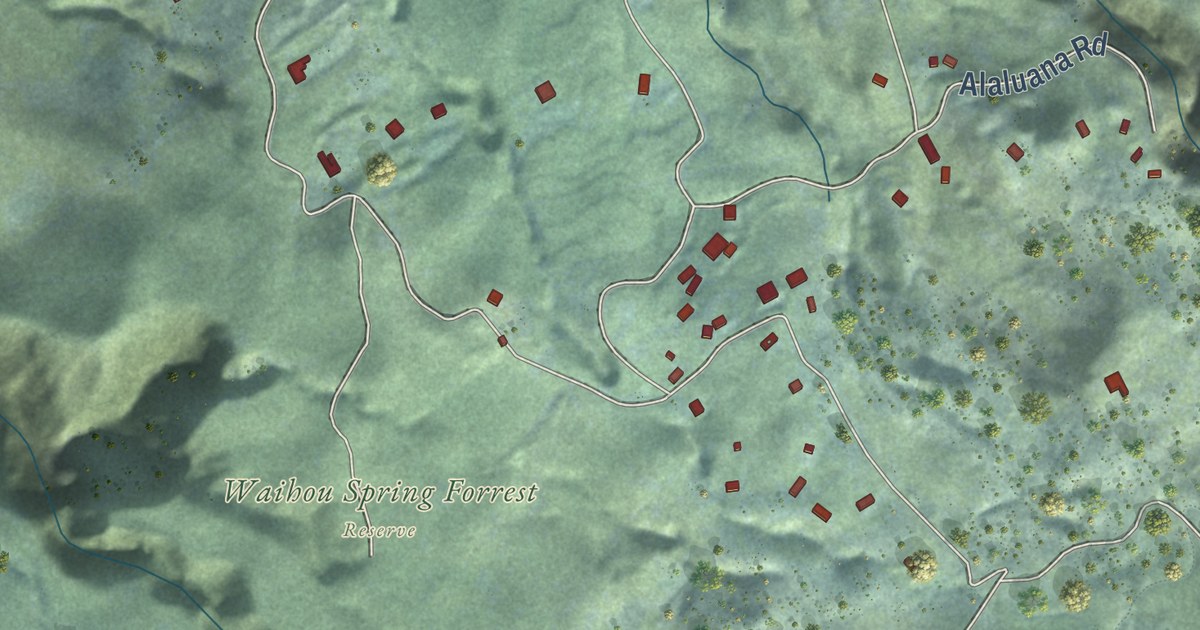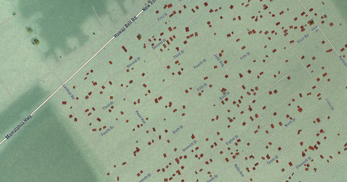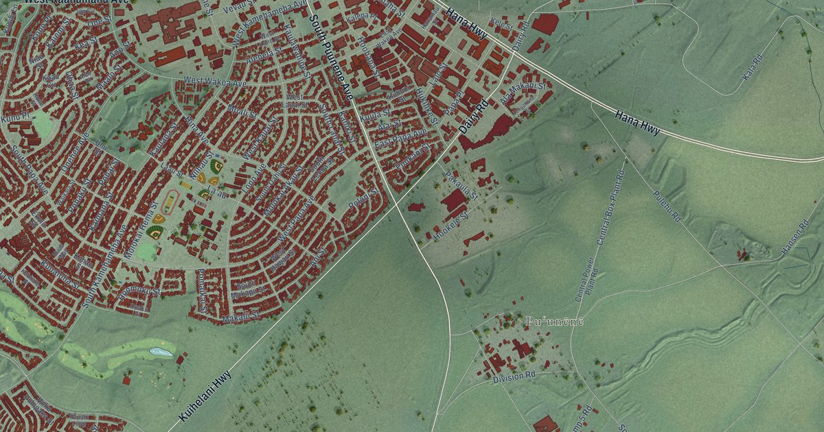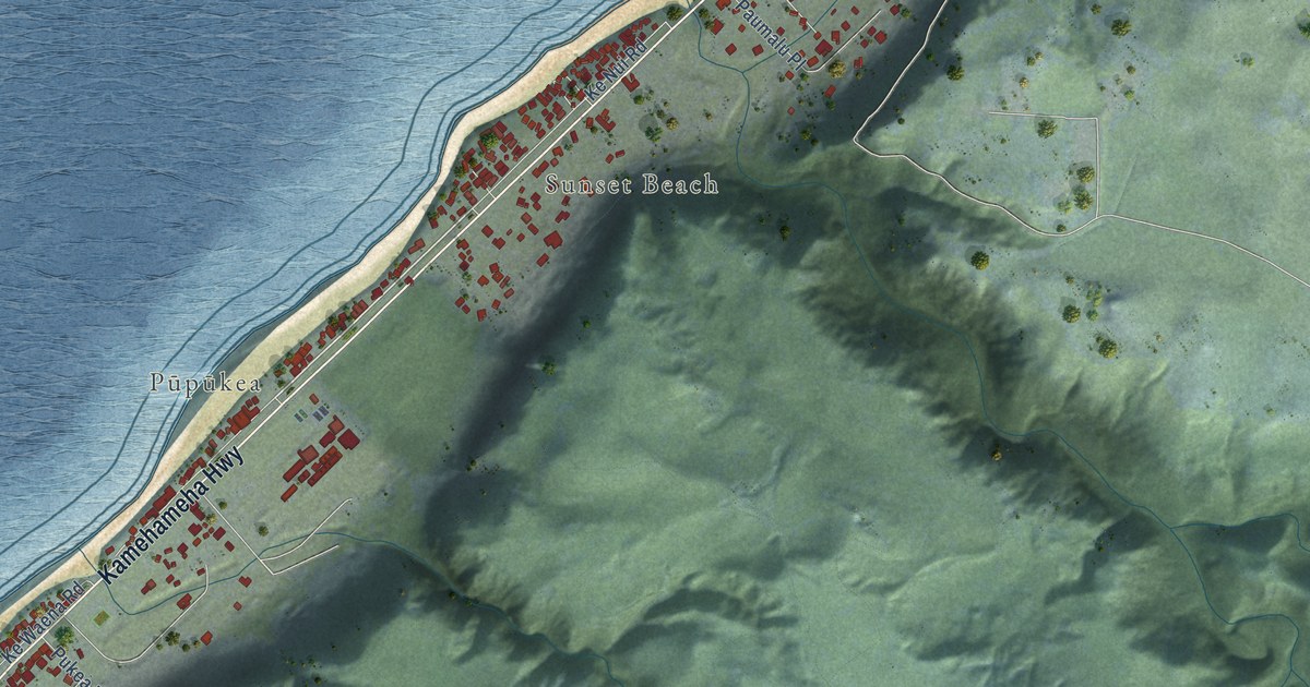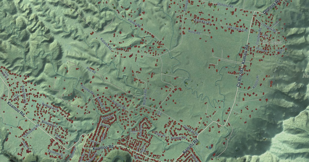
This beautifully detailed map of Wailua Homesteads, Hawaii was created in 2026 using aerial imagery combined with modern topographical, census, street and landmark data. It’s a one-of-a-kind view of Wailua Homesteads that combines accurate data with a vintage aesthetic. The map shows every building in its true location, many of the roads carry their names, and the shaded topographic relief shows the shape of the land.
Explore an aerial view of Wailua Homesteads, Hawaii
On the map you’ll find Olohena, Nounou Forest Reserve, Wailua Game Management Area, and Wailua River State Park, along with Kuamoo Road, Kamalu Road, Olohena Road, Kalama Road, Kaholalele Road, Aina Pono Street, Pomaikai Street, Puuopae Road, and more. If you look closely you can even find your house accurately drawn in its correct location. Zoom in on the preview to look for yours.
Did you know this piece of Wailua Homesteads, Hawaii history?
From Imagesofoldhawaii.com: "His grandfather, Salem Hanchett of Massachusetts, went to sea as a teenager aboard a Pacific whaler, and settled on Kauai during the reign of King Kaumualiʻi; he married Aluhua Aka, a descendent of Kaumualiʻi. In 1848, he was granted citizenship in the Kingdom of Hawaiʻi, and seven years afterward, he obtained a license to operate a Wailua River ferry at a time when no bridges spanned the river."
Take a closer look at the Wailua Homesteads map
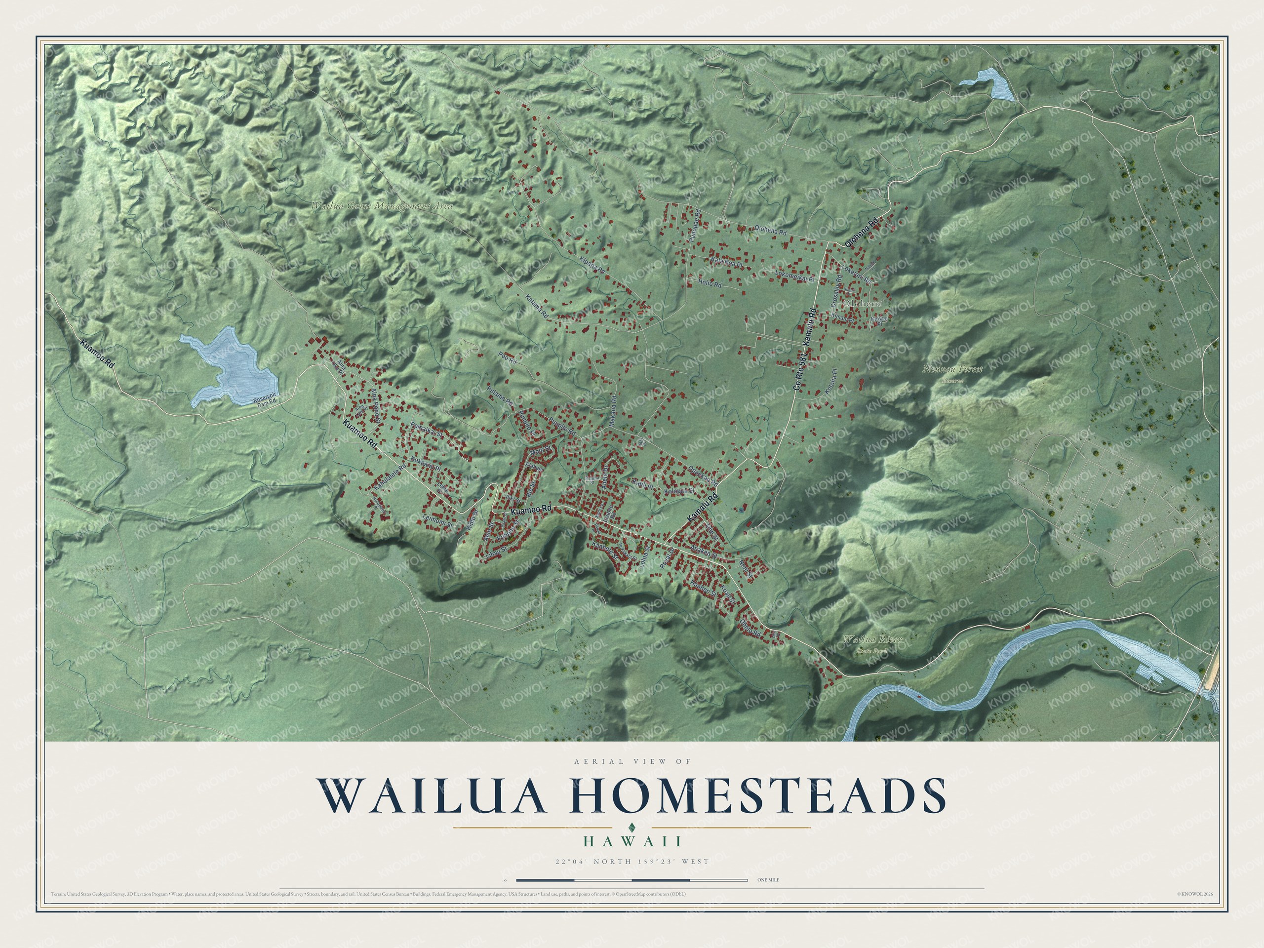
Street and place names on the Wailua Homesteads, Hawaii map
These names are printed on the map of Wailua Homesteads, Hawaii.
Places: Olohena, Nounou Forest Reserve, Wailua Game Management Area and Wailua River State Park.
Streets and roads: Kuamoo Road, County Route 581, Kamalu Road, Olohena Road, Kalama Road, Kaholalele Road, Aina Pono Street, Pomaikai Street, Puuopae Road, Opaekaa Road, Kipapa Road, Poo Road.
More street names, A to Z
Ahakea Street, Ahele Drive, Aina Lani Place, Aina Uka Place, Alahele, Aleo Street, Crossley Road, Haaheo Street, Hie Street, Holio Road, Holopono Place, Ilalo Place, Iliki Street, Kaahele Street, Kala Kea Place, Kalili Place, Kiinani Place, Kimo Drive, Kiowai Place, Koali Street, Koili Lane, Kokeanu Place, Kololia Place, Kolopua Street, Kuhoho Street, Lauone Road, Leimomi Street, Lekia Place, Lihau Street, Lilia Place, Lokelani Road, Lokomeikai Place, Loloa Street, Makana Road, Molo Street, Nahele Place, Noni Street, Ohelo Road, Ohe Street, Paako Street, Pahaa Place, Pokukala Street, Pulama Road, Pulana Street, Puupilo Place, Puupilo Road, Reservoir Dam Road, Royal Drive, Uilanii Place.
See the Wailua Homesteads, Hawaii map on a wall
The Wailua Homesteads map as an 18 x 24 inch print in a black frame.

This beautifully detailed map of Wailua Homesteads makes an attractive addition to your office, library, or den, and it can even be used to teach children the geography and history of the area. It also makes a great gift for anyone who grew up in Wailua Homesteads or moved away. When you’re done exploring, click here to get your copy of the Wailua Homesteads map.