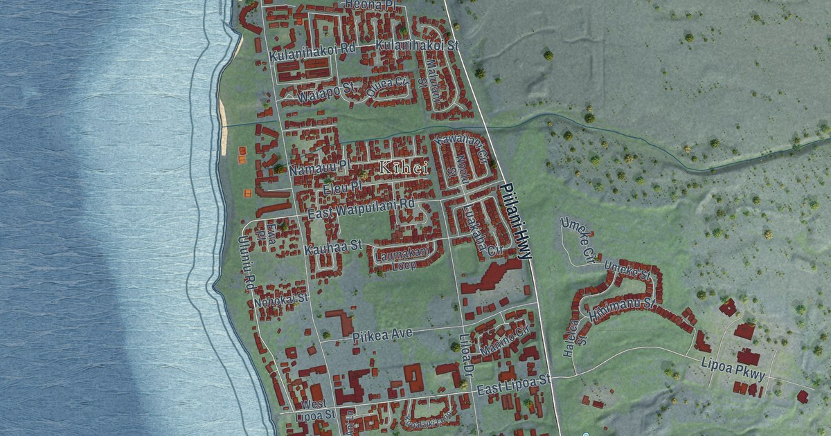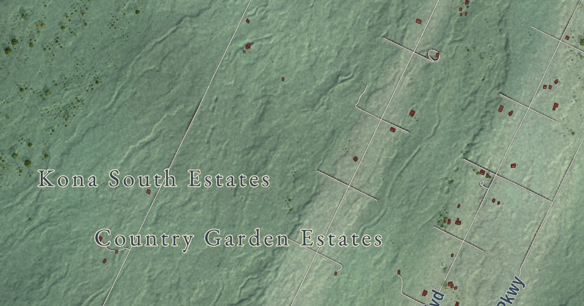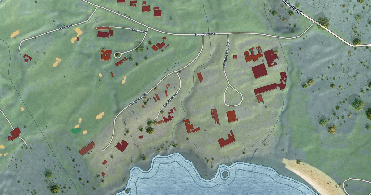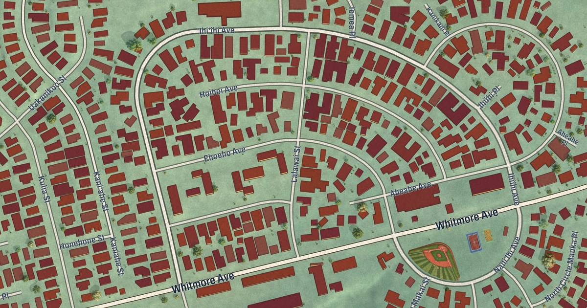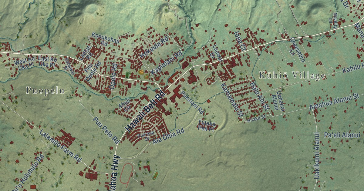
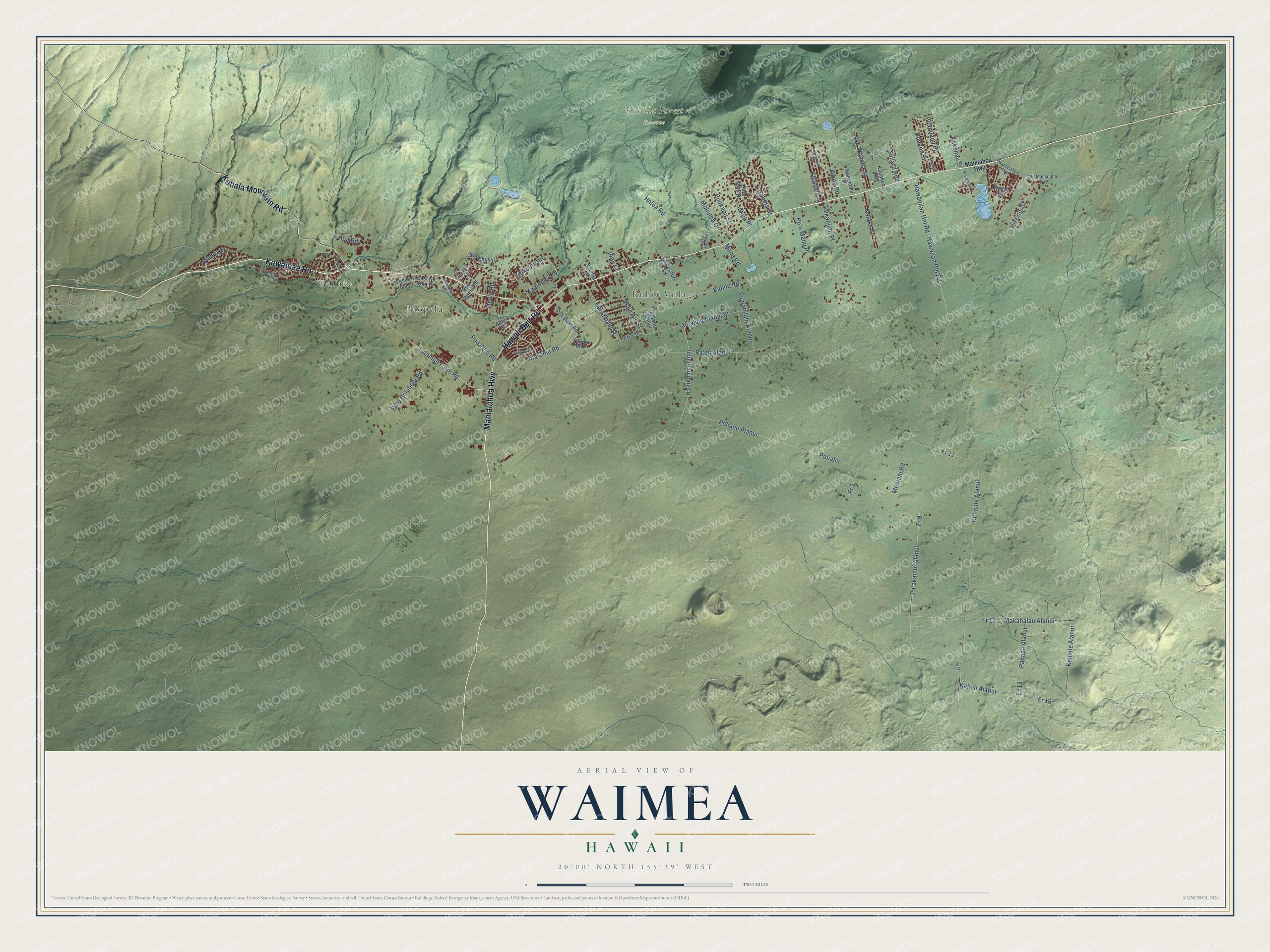
This beautifully detailed map of Waimea, Hawaii was created in 2026 using aerial imagery combined with modern topographical, census, street and landmark data. It’s a one-of-a-kind view of Waimea that combines accurate data with a vintage aesthetic. The map shows every building in its true location, many of the roads carry their names, and the shaded topographic relief shows the shape of the land.
Explore an aerial view of Waimea, Hawaii
On the map you’ll find Waiʻaka, Puopelu, Kūhiō Village, Kohala Forest Reserve, Uakikumi Alanui, and Fr 9, along with Kawaihae Road, Mamalahoa Highway, Hawaii Belt Road, Kohala Mountain Road, Hale Alii Street, Lalamilo Farm Road, and more. If you look closely you can even find your house accurately drawn in its correct location. Zoom in on the preview to look for yours.
Did you know this about Waimea, Hawaii?
From Hawaiianencyclopedia.com: "Headquartered in Waimea, Parker Ranch is the largest ranch in the Hawaiian Islands and also larger than any other single-owned private ranch in the United States."
Take a closer look at the Waimea map
Street and place names on the Waimea, Hawaii map
These names are printed on the map of Waimea, Hawaii.
Places: Waiʻaka, Puopelu, Kūhiō Village and Kohala Forest Reserve.
Streets and roads: Kawaihae Road, Mamalahoa Highway, Hawaii Belt Road, Kohala Mountain Road, Uakikumi Alanui, Hale Alii Street, Lalamilo Farm Road, Fr 9, Pa'akainui Alanui, Kemole Alanui, Hokuula Road, Mana Road.
More street names, A to Z
Ahuli Circle, Ainahua Alanui Street, Alaneo Street, Ala Ohia Road, Cheesebro Lane, East Ko Uka Place, Fr 5, Fr 11, Fr 12, Fr 13, Fr 14, Fr 16, Gilliard Red, Haloa Road, Hawaiian Hm Road, Hawaoiian Hm Road, Hiiaka Street, Hohola Drive, Hoohoa Street, Hpa Road, Iokua Place, Iona Court, Kahawai Street, Kahilu Road, Kalake Street, Kaliali Alanui, Kamamalu Street, Kapiolani Road, Kauakea Road, Kekehau Street, Ki'i'aina Alanui, Kipahele Street, Kipu'upu'u Street, Konokohau Road, Laelae Road, Lauwai Drive, Mahua Street, Makahalau Alanui, Mamlahoa Highway, Mealani Road, Mokuloa Drive, Nan Waimea Street, Noekolo Street, Nohomalu Place, Novelty Lane, Nuuanu Street, Old Mamalahoa Highway, Opelo Road, Pa'eli Alanui, Papapa Alanui, Poliahu, Poliahu Alanui, Pu'u Huluhulu Road, Pu'u Manu Place, Pua'ena Street, Pualahilahi Alanui, Puanuanu Place, Pukalani Road, Pukaniahi Place, Puukapu Street, Puu Nani Drive, Puu Opelu Road, Puu Pelo Road, Uahanai Alanui, Uikeoni Street, Waiahu Street, Waiaka Street, West Ko Uka Place, White Road, Yutaka Pen Place.
See the Waimea, Hawaii map on a wall
The Waimea map as an 18 x 24 inch print in a black frame.

This beautifully detailed map of Waimea makes an attractive addition to your office, library, or den, and it can even be used to teach children the geography and history of the area. It also makes a great gift for someone who left Waimea and still calls it home. When you’re done exploring, click here to get your copy of the Waimea map.