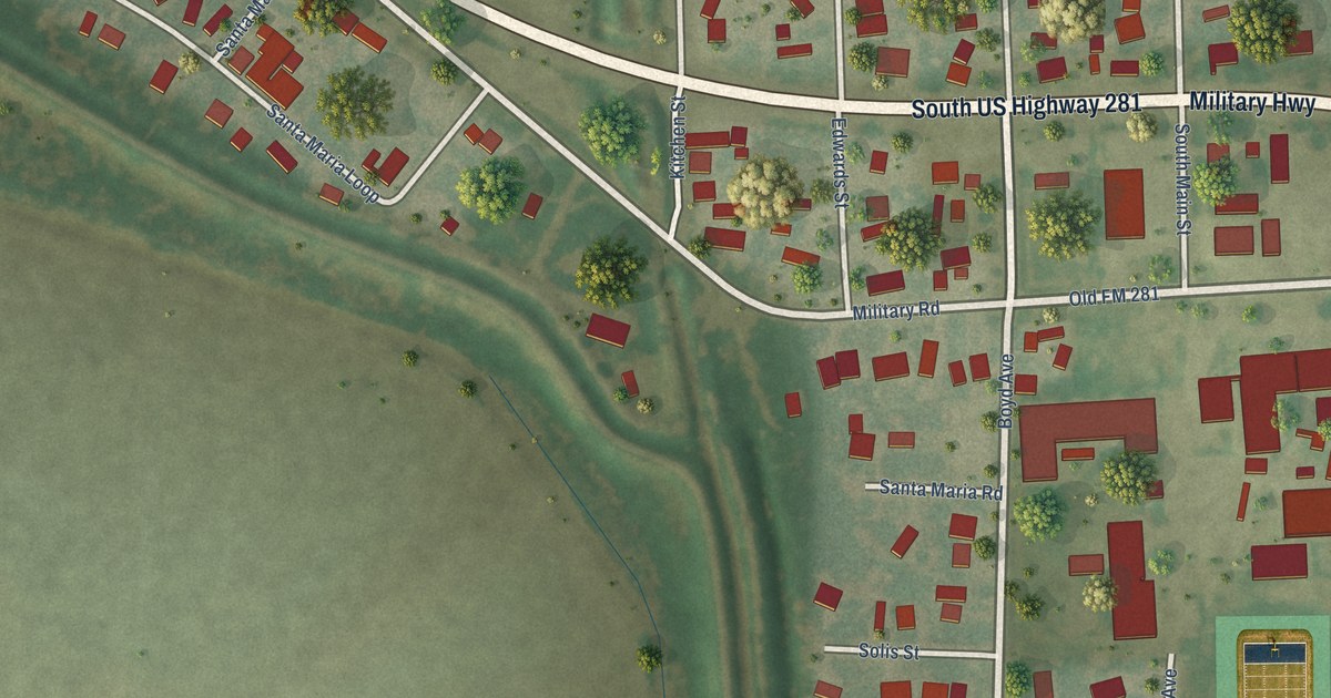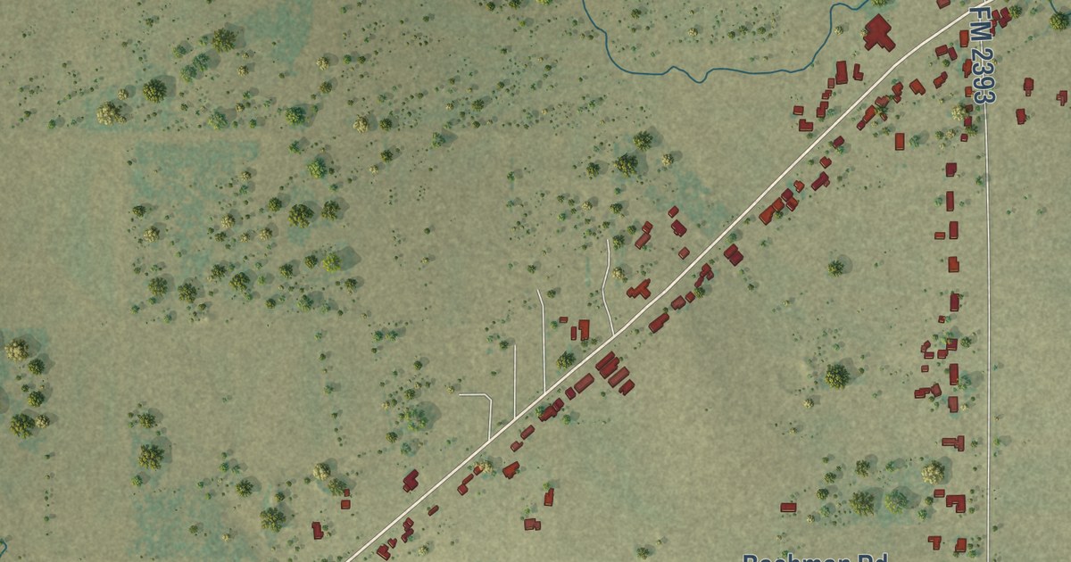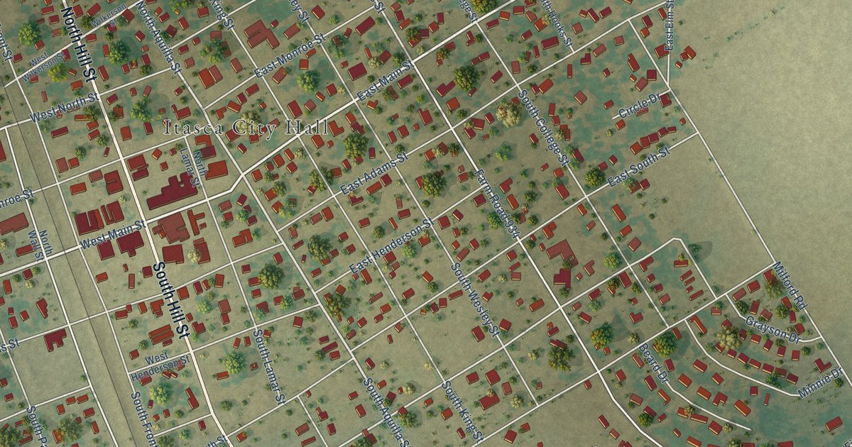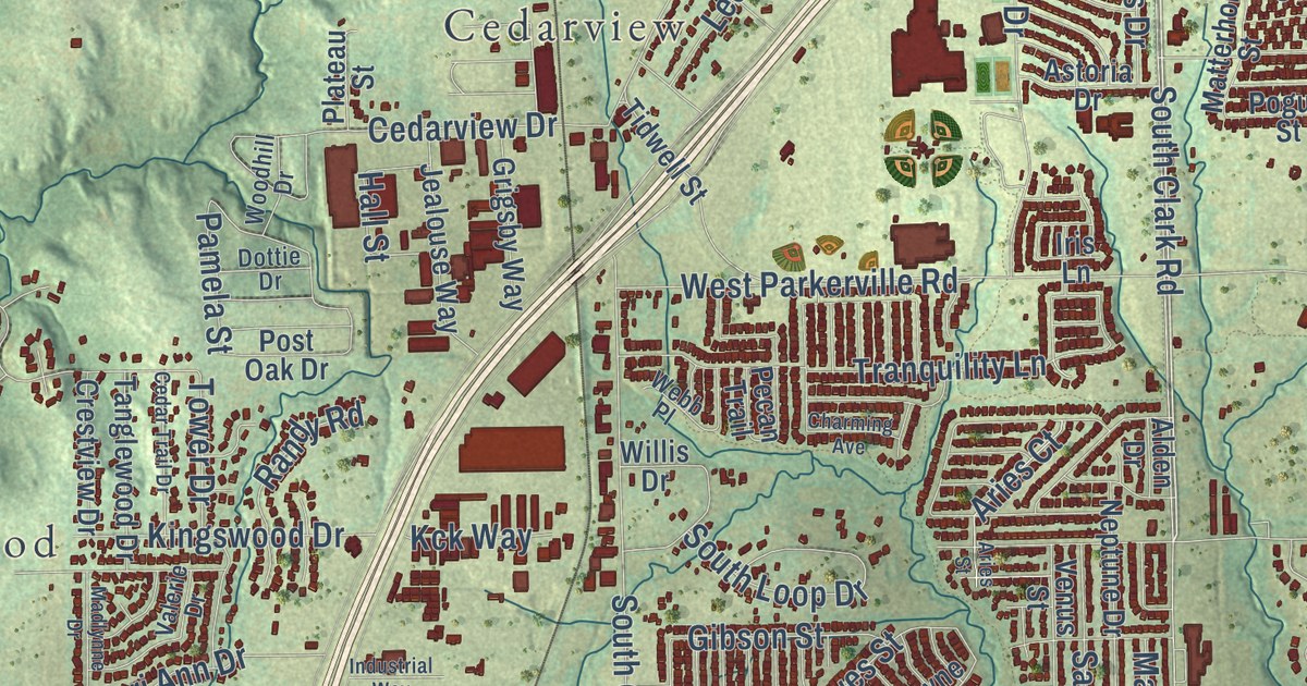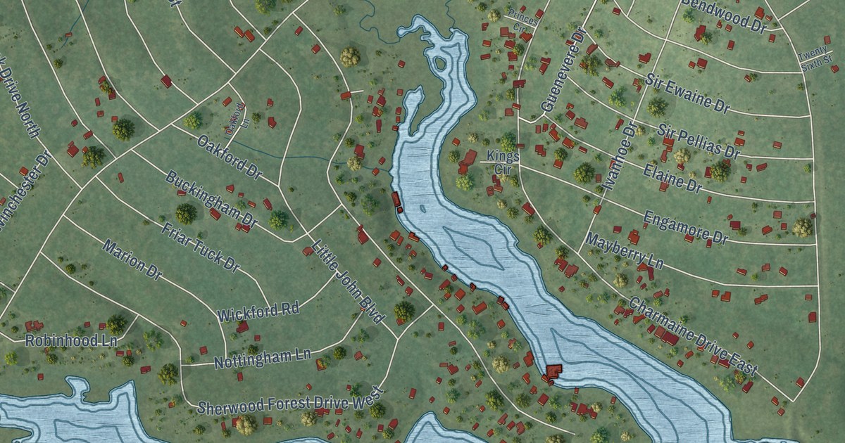
This beautifully detailed map of Ivanhoe, Texas was created in 2026 using aerial imagery combined with modern topographical, census, street and landmark data. It’s a one-of-a-kind view of Ivanhoe that combines accurate data with a vintage aesthetic. The map shows every building in its true location, many of the roads carry their names, and the shaded topographic relief shows the shape of the land.
Explore an aerial view of Ivanhoe, Texas
On the map you’ll find Sherwood Forest Drive, Friar Tuck North Drive, Lakewood Drive, Sir Henry Drive, Galahad Loop Road, Durwood Drive, Ivanhoe Estates Drive, Camelot Drive, Chanticleer Drive, 27th Street, Ivanhoe Drive, 28th Street, and more. If you look closely you can even find your house accurately drawn in its correct location. Zoom in on the preview to look for yours.
Did you know this piece of Ivanhoe, Texas history?
From the Handbook of Texas: "In 1885 Capt. Joe Dupree, a Confederate veteran, named the town Ivanhoe after Sir Walter Scott's novel, when the United States Postal Service rejected the original name."
Take a closer look at the Ivanhoe map
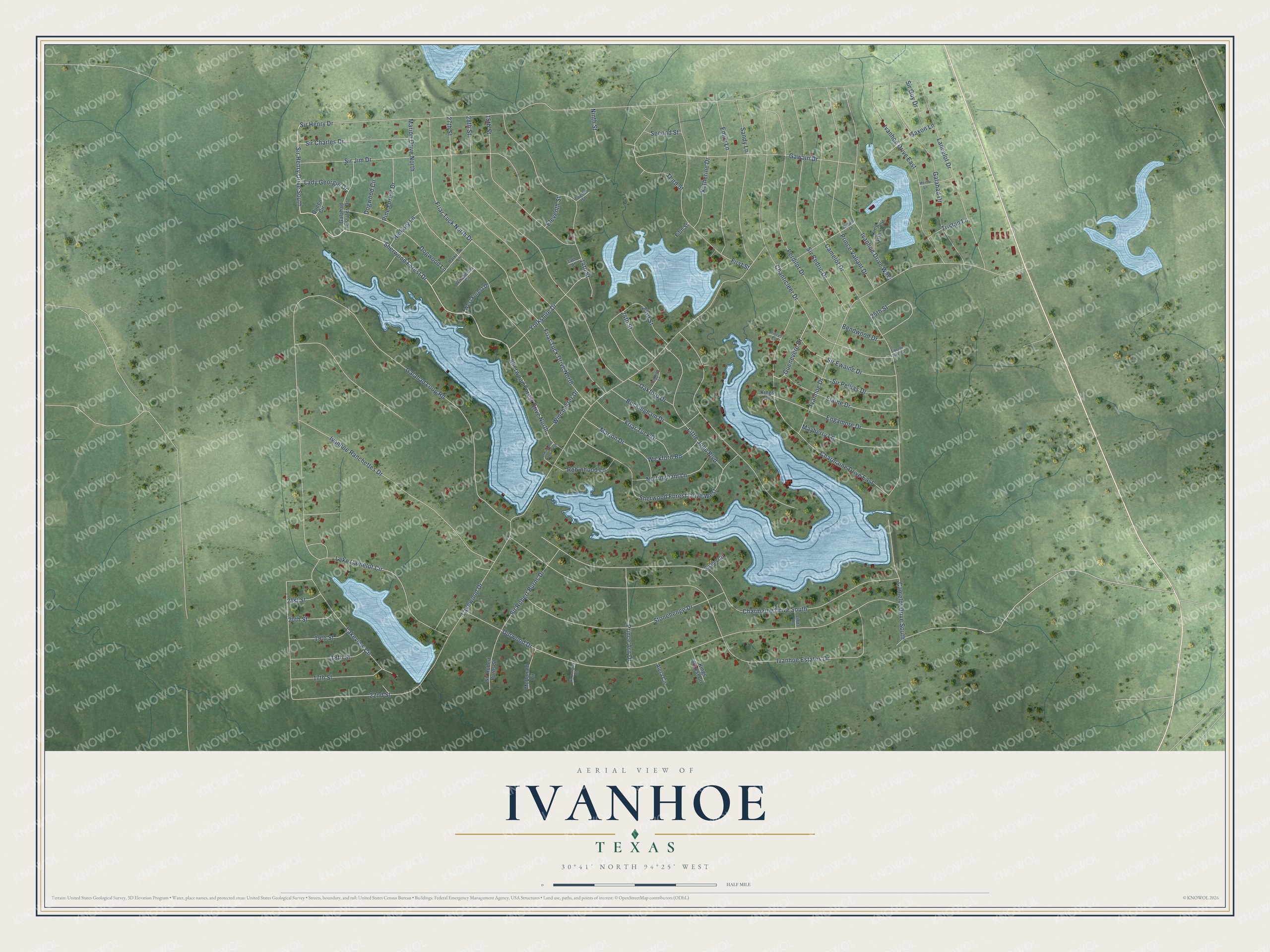
Street names on the Ivanhoe, Texas map
These names are printed on the map of Ivanhoe, Texas.
Streets and roads: Sherwood Forest Drive, Sherwood Forest Drive North, Sir Henry Drive South, Friar Tuck North Drive, Lakewood Drive, Sir Henry Drive, Galahad Loop Road, Durwood Drive, Ivanhoe Estates Drive, Camelot Drive, Charmaine Drive South, Marion Drive North.
More street names, A to Z
13th Street, 14th Street, 15th Street, 17th Street, 18th Street, 19th Street, 20th Street, 21st Street, 22nd Street, 23rd Street, 24th Street, 25th Street, 27th Street, 28th Street, Aleta Circle, Bendwood Drive, Buckingham Drive, Camelot Drive South, Chanticleer Drive, Charmaine Drive East, Dogwood Circle, Dogwood Lane, Elaine Drive, Eleventh Street, Emily Lane, Engamore Drive, Fifth Street, First Street, Friar Tuck Drive, Friar Tuck Drive North, Galahad Drive, Galahad Estates Drive, Gawain Drive, Gilbert Lane, Guenevere Drive, Hickory Lane, Ivanhoe Drive, Ivanhoe Drive East, Ivanhoe Drive West, Ivanhoe Ranchettes Drive, Katherine Drive, King Arthur Circle, Kings Circle, Kings Forest Circle, Lady Georgie Drive, Lake Camelot Circle, Lakeview Circle, Lancelot Drive, Linda Lane, Little John Boulevard, Marion Drive, Mayberry Lane, McDonald Circle, Merlin Lane, Ninth Street, Nottingham Lane, Oakford Drive, Oakford Lane, Parkview Lane, Perdilot Drive, Pine Forest Drive, Prince Arn Drive, Princes Circle, Prince Valiant Drive, Queen Circle, Robinhood Lane, Robinhood Lane West, Sandy Lane, Saxon Lane, Second Street, Shalin Circle, Sherwood Forest Drive West, Sir Cedric Drive, Sir Charles Drive, Sir Douglas Circle, Sir Ewaine Drive, Sir Guy Drive, Sir Jim Drive, Sir Pellias Drive, Sir Robert Burns Drive, Sir Robert Burns Street, Stonehenge Drive, Third Street, Tristan Lane, Twelfth Street, Twenty Sixth Street, West Forest Drive, Wickford Road, Winchester Circle, Winchester Drive, Yorkshire Drive.
See the Ivanhoe, Texas map on a wall
The Ivanhoe map as an 18 x 24 inch print in a black frame.

This beautifully detailed map of Ivanhoe makes an attractive addition to your office, library, or den, and it can even be used to teach children the geography and history of the area. It also makes a great gift for someone who left Ivanhoe and still calls it home. When you’re done exploring, click here to get your copy of the Ivanhoe map.