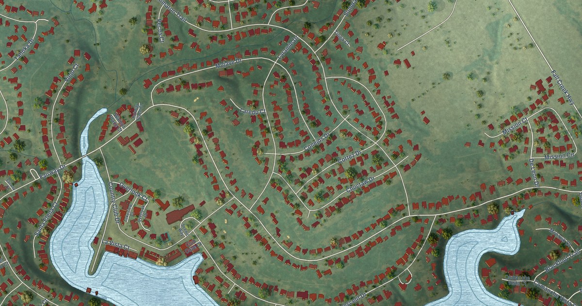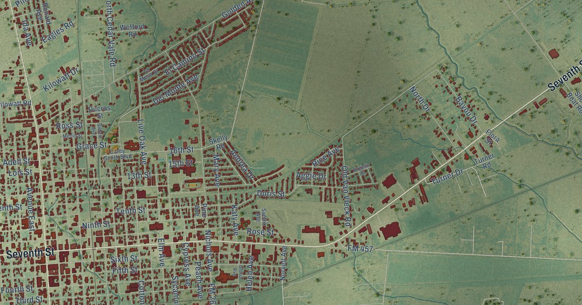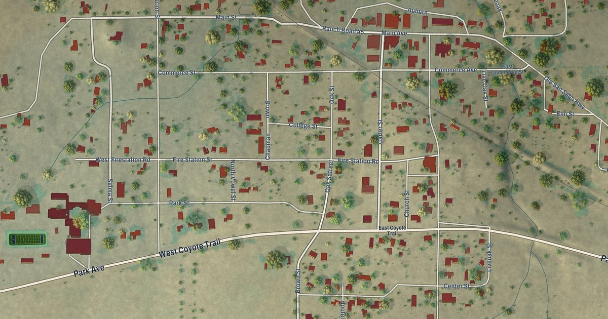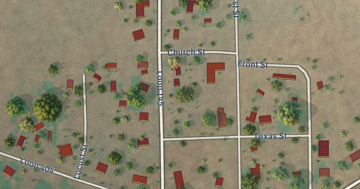
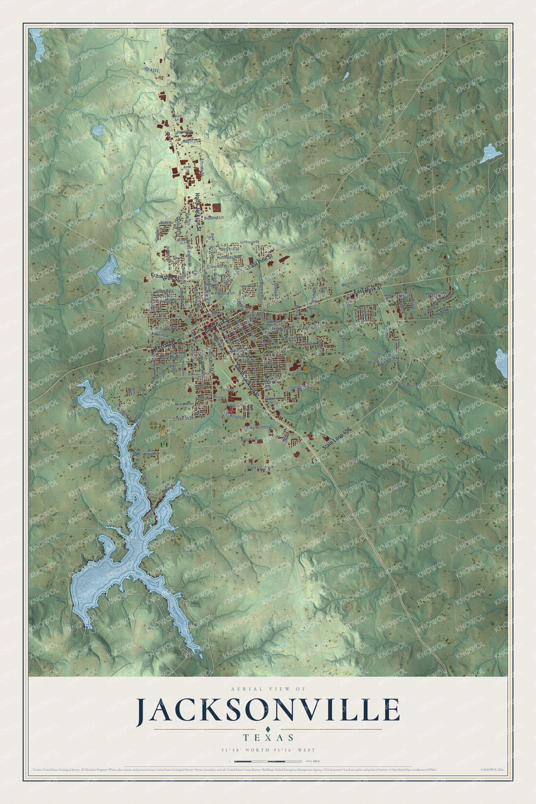
This beautifully detailed map of Jacksonville, Texas was created in 2026 using aerial imagery combined with modern topographical, census, street and landmark data. It’s a one-of-a-kind view of Jacksonville that combines accurate data with a vintage aesthetic. The map shows every building in its true location, many of the roads carry their names, and the shaded topographic relief shows the shape of the land.
Explore an aerial view of Jacksonville, Texas
On the map you’ll find Jacksonville City Hall, Pomona, Mittie, and Creek 3430, along with South Jackson Street, North Jackson Street, East Rusk Street, State Loop 456, East Pine Street, West Rusk Street, Frankston Street, Byrd Road, and more. If you look closely you can even find your house accurately drawn in its correct location. Zoom in on the preview to look for yours.
Did you know this piece of Jacksonville, Texas history?
From the Handbook of Texas: "Jackson was among the first to build inside the boundaries of the survey, the name Jacksonville was chosen by local citizens for the new town."
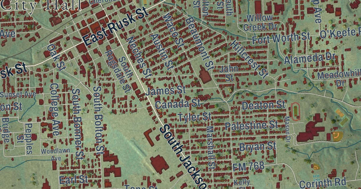
Take a closer look at the Jacksonville map
Street and place names on the Jacksonville, Texas map
These names are printed on the map of Jacksonville, Texas.
Places: Jacksonville City Hall, Pomona and Mittie.
Streets and roads: South Jackson Street, North Jackson Street, East Rusk Street, State Loop 456, East Pine Street, West Rusk Street, Frankston Street, Byrd Road, Creek 3430, FM 347, Myrtle Drive, North Bolton Street.
More street names, A to Z
Abandoned, Alabama Avenue, Alameda Drive, Andrews Street, Anvil Street, Asbury Street, Augusta Drive, Austin Street, Bailey Lane, Balas Drive, Beach Street, Beacon Drive, Beaumont Street, Berry Lane, Border Street, Brady Street, Bridge Street, Broiles Street, Bruno Lane, Bryan Street, Burleson Street, Burma Road, Canada Street, Carolina Street, Cash Street, Cherokee Trail, Churchill Street, College Avenue, Corinth Road, Cr 4121, Crockett Street, Dacus Lane, Davis Street, Deaton Street, Debusk Street, Dial Street, Dogwood Street, Dorothy Street, Drip Rock Road, Dublin Drive, Earl Street, East Cherokee Street, East Wilson Street, Elberta Street, Ellis Street, FM 768, Forrest Street, Fort Worth Street, Fuller Street, Fulton Street, Garner Lane, Glen Fawn Road, Goodwin Street, Grant Avenue, Harrison Street, Harvard Drive, Heath Lane, Helen Street, Hillcrest Street, Holloway Avenue, Idle Creek Road, James Street, Jeff Davis Street, Jefferson Avenue, Johnson Street, John Street, Jowell Street, Kelly Street, King Drive, King Road, Lake Park Lane, Lake Shore Drive, Lakeshore Drive, Lawrence Street, Looney Street, Love Avenue, Marshall Street, Martin Luther King Junior Boulevard, Mason Drive, Mc Knight Street, Meadowhill Drive, Mills Street, Monroe Street, Morris, Nance Street, Neal Street, Neches Street, North Main Street, O'Keefe Road, Oak Street, Odom Street, Palestine Street, Paradise Valley Lane, Park Lane, Pebble Beach Drive, Pecan Street, Pepples Street, Phillip Avenue, Pierce Lane, Pinecove Street, Pineda Street, Porsey Drive, Prestwick Road, Quevado Street, Redbird Lane, Robinson Lane, Sims Avenue, South Bolton Street, South Bonner Street, South Pineda Street, South Ragsdale Street, South Street, Sunnydale Street, Sunset Avenue, Talley Nichols Drive, Tena Street, Timberhill Road, Toby Lane, Tyler Street, Valley View Lane, Waco Street, Willow Creek Drive, Woodhaven Circle, Woodlawn Avenue.
See the Jacksonville, Texas map on a wall
The Jacksonville map as an 18 x 24 inch print in a black frame.

This beautifully detailed map of Jacksonville makes an attractive addition to your office, library, or den, and it can even be used to teach children the geography and history of the area. It also makes a great gift for someone who left Jacksonville and still calls it home. When you’re done exploring, click here to get your copy of the Jacksonville map.