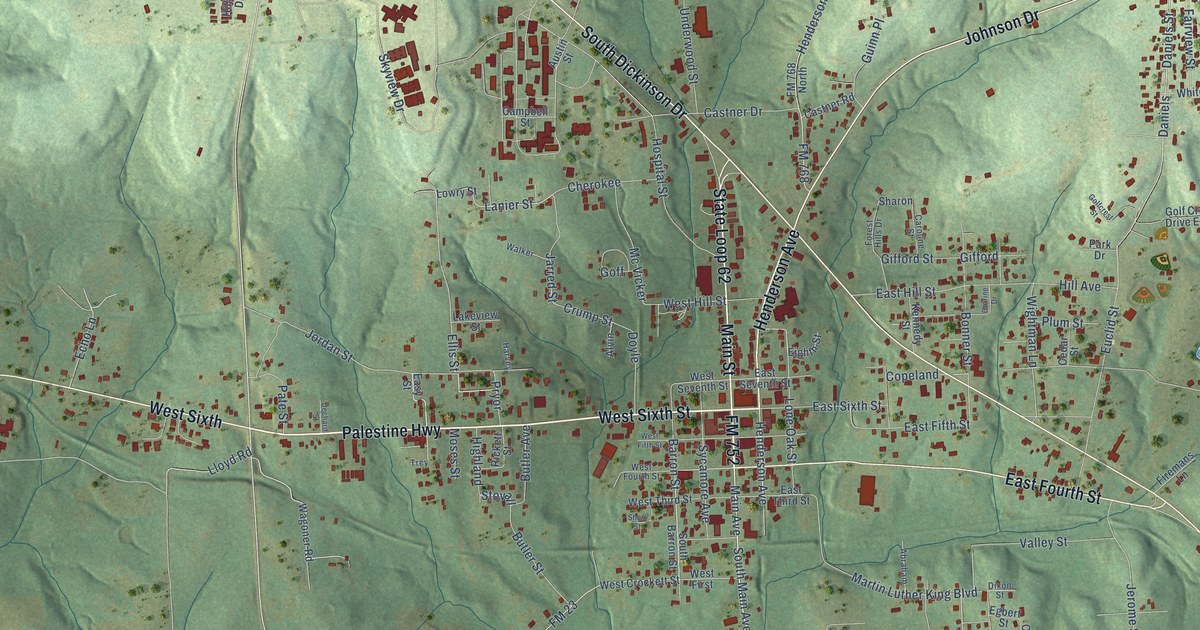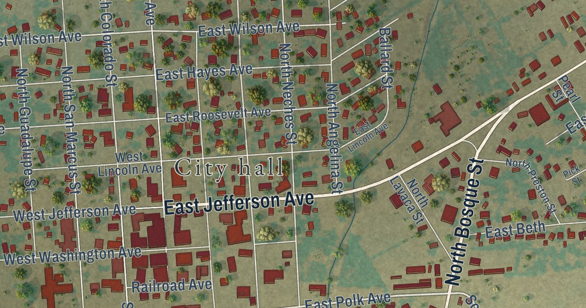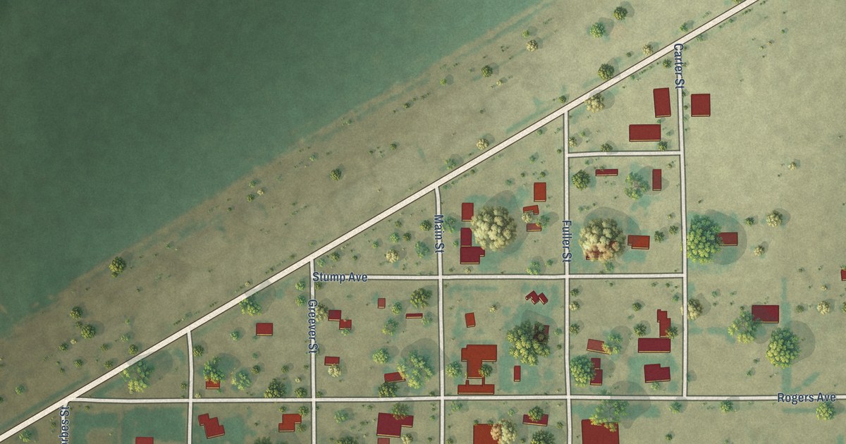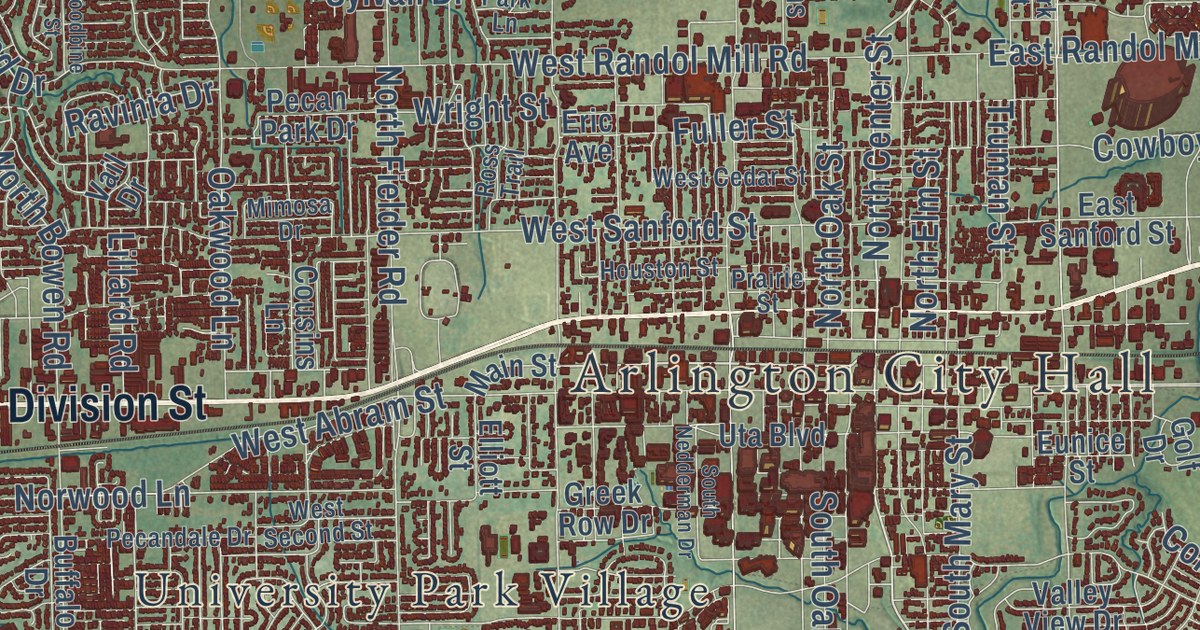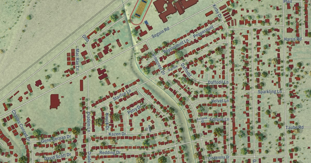
This beautifully detailed map of Kirby, Texas was created in 2026 using aerial imagery combined with modern topographical, census, street and landmark data. It’s a one-of-a-kind view of Kirby that combines accurate data with a vintage aesthetic. The map shows every building in its true location, many of the roads carry their names, and the shaded topographic relief shows the shape of the land.
Explore an aerial view of Kirby, Texas
On the map you’ll find Kirby City Hall, Friendship Park, Hugo Lentz Park, and Daffodil, along with Gordon Cooper Drive, Landis Drive, Shamrock Drive, Wheatland Drive, Cinderella Lane, Diadem Drive, Pageland Drive, Featherock Drive, and more. If you look closely you can even find your house accurately drawn in its correct location. Zoom in on the preview to look for yours.
Did you know this piece of Kirby, Texas history?
From the Handbook of Texas: "The population increased to 680 by 1965, by which time the community had incorporated."
Take a closer look at the Kirby map
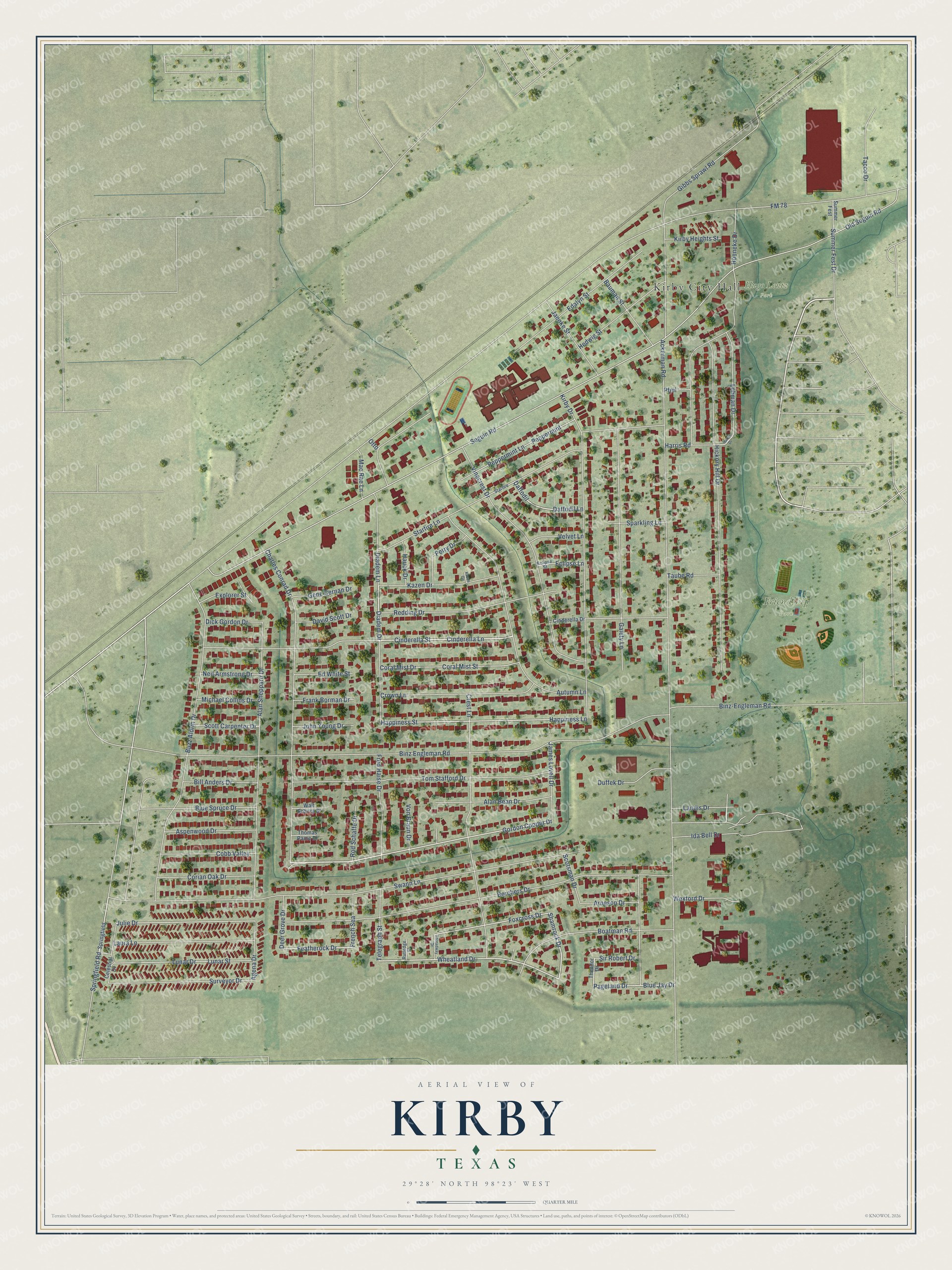
Street and place names on the Kirby, Texas map
These names are printed on the map of Kirby, Texas.
Places: Kirby City Hall, Friendship Park and Hugo Lentz Park.
Streets and roads: Gordon Cooper Drive, Landis Drive, Shamrock Drive, Wheatland Drive, Cinderella Lane, Diadem Drive, Daffodil, Pageland Drive, Featherock Drive, Foxcross Drive, Old Seguin Road, Seguin Road.
More street names, A to Z
Ackerman Road, Agena Drive, Alan Bean Drive, Alan Sheppard Drive, Arneson Drive, Aspenwood Drive, Autumn Lane, Bauman Street, Bill Anders Drive, Binz-Engleman Road, Binz Engleman Road, Blue Jay Drive, Blue Spruce Drive, Boatman Road, Borchers Drive, Buzz Aldrin Drive, Celestial Drive, Charles Conrad Drive, Cinderella Drive, Cinderella Street, Cobb Valley, Coral Mist Drive, Coral Mist Street, Corian Oak Drive, Crest Lane, Crown Lane, Daffodil Lane, David Scott Drive, Deer Grove Drive, Diadem Lane, Dick Gordon Drive, Duffek Drive, Eclipse Lane, Eclipse Street, Edalyn Street, Ed White Street, Explorer Street, FM 78, Frank Borman Drive, Fred Haise Drive, French Sea, Gaiety Lane, Gene Cernan Drive, Gibbs Sprawl Road, Happiness Lane, Happiness Street, Harris Drive, Harris Road, Hauck Drive, Hedwig Street, Hickory Hill Drive, Hoeneke Drive, Ida Bell Drive, Jaenke Street, James Lovell Drive, John Young Drive, Julie Drive, Kazen Circle, Kazen Drive, Kirby Drive, Kirby Heights Street, Laura Lane, Lehman Drive, Lunar Drive, Lunar Street, Mac Rae Lane, Michael Collins Drive, Neil Armstrong Drive, Otto, Peppermint, Peppermint Lane, Petry Drive, Pfeil, Redding Drive, Rod Schaffe Drive, Rutledge Street, Scotsman Drive, Scott Carpenter Drive, Sir Robert Drive, Sparkling Lane, Springfield, Springfield Road, Starfire, Starfire Lane, Summer Fest, Summer Fest Drive, Surveyor Drive, Swann Lane, Tacco Drive, Taube Road, Telegraph Street, Theodor Drive, Thomas Paine Drive, Threadway Drive, Tom Stafford Drive, Velvet Lane, Vinecrest Drive, Von Braun Drive, Walt Schirra Street, Wexford Drive.
See the Kirby, Texas map on a wall
The Kirby map as an 18 x 24 inch print in a black frame.

This beautifully detailed map of Kirby makes an attractive addition to your office, library, or den, and it can even be used to teach children the geography and history of the area. It also makes a great gift for anyone with Kirby roots. When you’re done exploring, click here to get your copy of the Kirby map.