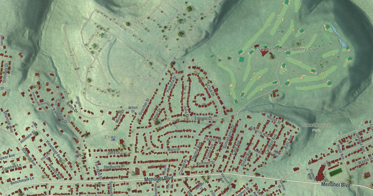
If you grew up in Westmont, look for your old street on this print. It's a modern aerial view of Westmont in Cambria County, Pennsylvania, made with modern data and a vintage feel. Red buildings trace the blocks, with green hills and deep hollows around them. Sunnehanna Country Club stands out among the nearby streets.
Menoher Boulevard and Westmont's Streets
On this map you'll find Menoher Boulevard, Sunnehanna Country Club, Stackhouse Park, Engh Field, Goucher Street, Luzerne Street, Diamond Boulevard, Bucknell Avenue, Tioga Street, Penn Avenue, Saint Clair Road, and more. Each red shape is a building, so zoom in on the preview and look for yours.
Westmont became a borough on June 13, 1892. The History of Cambria County, Pennsylvania records the court decree that took it from Upper Yoder Township. That short entry is the start of Westmont as its own borough. On today's map, you can pick out the homes along Menoher Boulevard and the green space at Stackhouse Park. They're part of the place that grew from that 1892 start.
Westmont's Hills on Your Wall
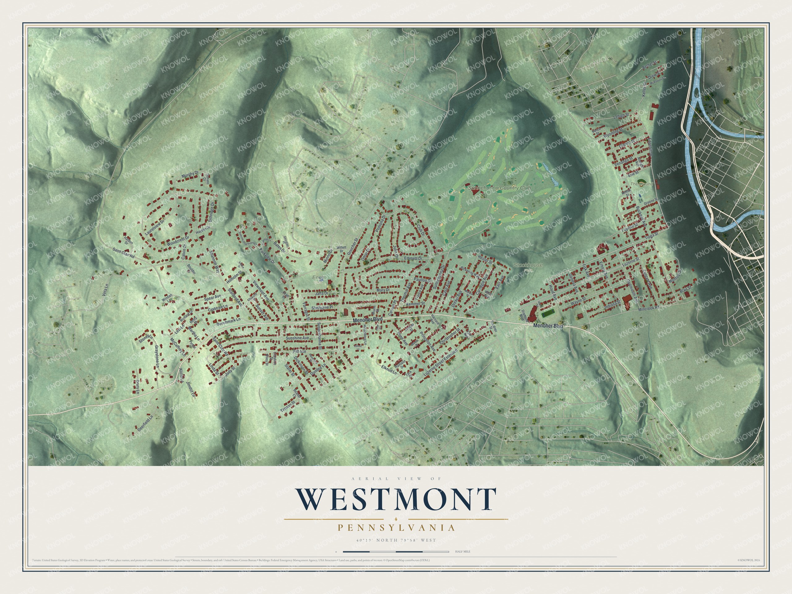
Created by KNOWOL in 2026, the print pairs soft green terrain with red buildings, pale roads and blue water. A cream border surrounds the view. The title panel reads AERIAL VIEW OF WESTMONT, PENNSYLVANIA, with 40°19' NORTH 78°58' WEST below.
Hang it in a living room, office or entryway to keep Westmont close. It's a gift for someone who grew up near Stackhouse Park or moved away from town. Open the preview and look for the block you know best. See sizes and frames for the Westmont map.