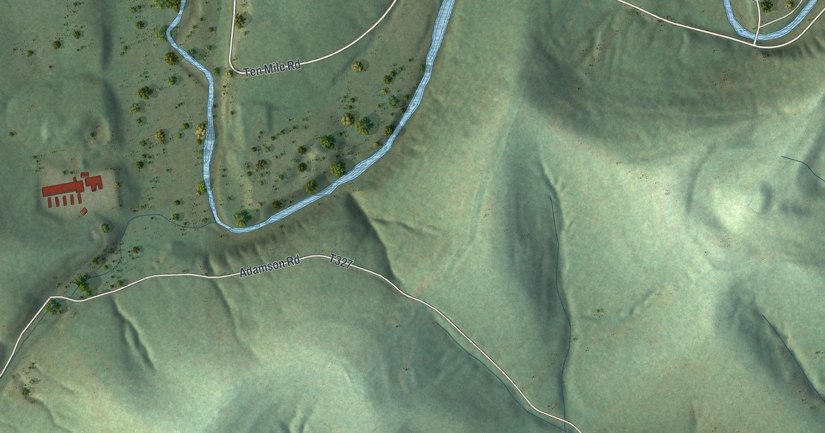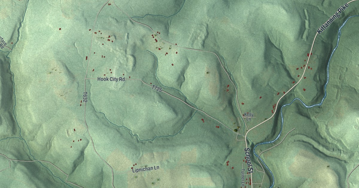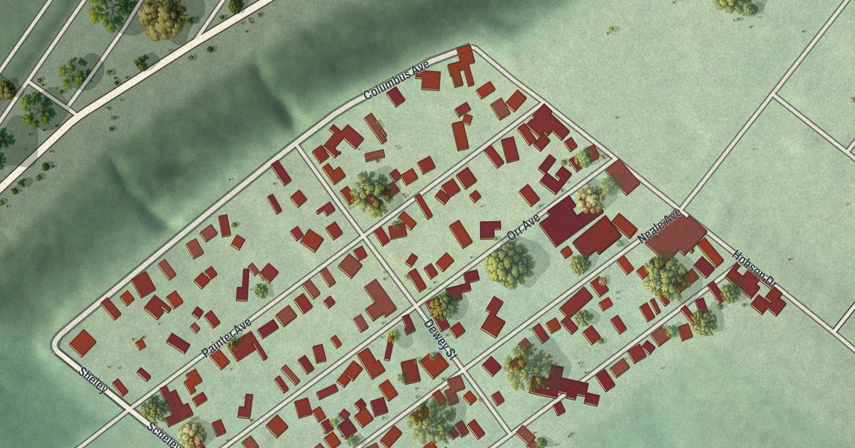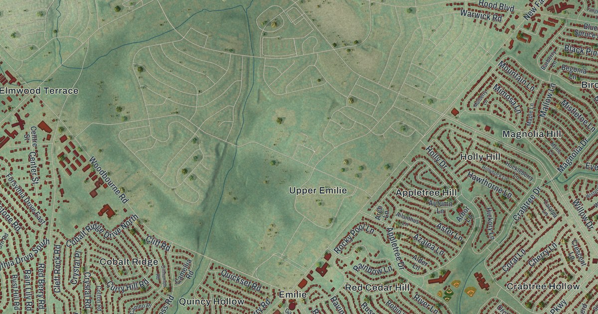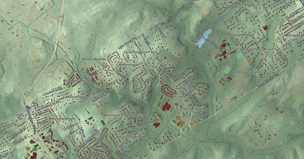
If you grew up off Oakbourne Road, Shiloh Road or East Street Road, this map shows the place you know. It's a new aerial view of Westtown Township in Chester County, Pennsylvania, made from modern data and given a vintage look. The township runs as a long green strip across the sheet, with homes packed along its length and open hills on every side. West Chester Pike crosses near the top, and West Street Road and East Street Road run along the bottom edge.
Find Oakbourne Road and your own Westtown street
On this map you'll find West Chester Pike, Wilmington Pike, East Street Road, South Chester Road, Oakbourne Road, Shiloh Road, Westtown Road, Walnut Hill Road, Friends Meeting Lane, Plumly Farms, Pleasant Grove, Darlington Corners, Westtown Park, Windmere Place, and more. Each red shape is a building, so zoom in on the preview and look for yours.
Camp Elder near Oakbourne Road in 1863
In July 1863, the Battle of Gettysburg had just ended. Soon after, over 2,000 Union prisoners were held at a makeshift camp here in Westtown. It was called Camp Elder. In those days, a retreating army often let captured soldiers go on a promise called a parole. The freed men were then held by their own army until a trade could be made. A state historical marker tells what happened next. The community welcomed these men and cared for the injured for several weeks. Then the federal government said the paroles didn't count, and the men went back to their regiments.
The marker stands where Oakbourne Road meets Trellis Lane. On the map, look near the middle of the strip, around Oakbourne and Coventry Village.
Why Westtown is a long strip
The 1881 History of Chester County says Westtown was probably named for where it sits next to Easttown. It describes a long, narrow township, about five and a half miles long and nearly one and a half miles wide. You can see that shape on the map today. The same book says the land here was probably laid out as early as 1685. It also says the old Gibbons family land became the well-known boarding school of the Friends.
Westtown from West Chester Pike to West Street Road
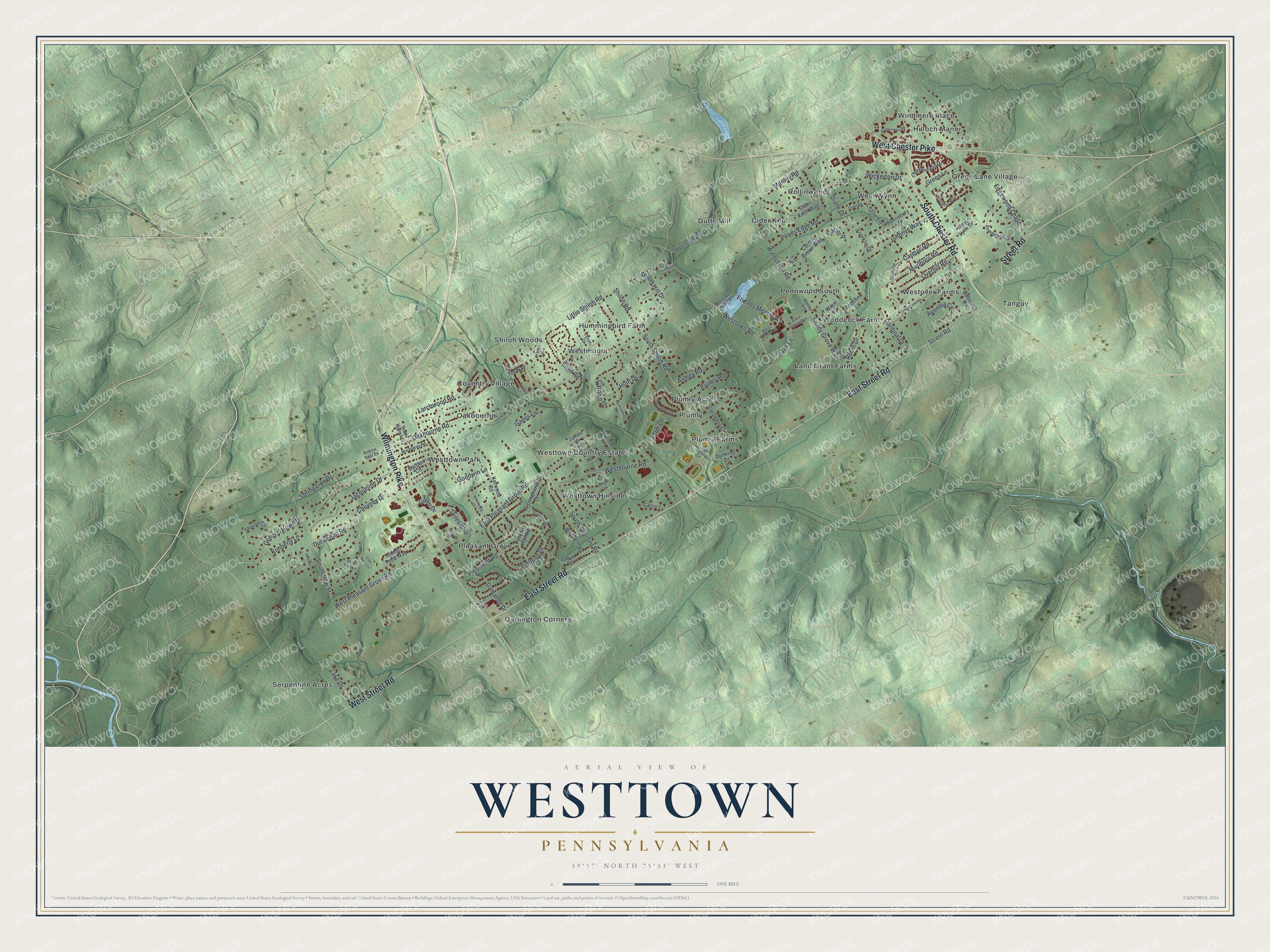
Created by KNOWOL in 2026, this print shows Westtown as a soft green aerial view with shaded hills, blue creeks and small red buildings. The title panel reads AERIAL VIEW OF WESTTOWN, PENNSYLVANIA, with 39°57' NORTH 75°33' WEST beneath it.
It fits a family room, a front hall or a home office. It makes a good gift for someone who grew up near Oakbourne Road or Pleasant Grove, or who moved away and misses Chester County. Open the preview and find your own street. See sizes and frames for the Westtown map.