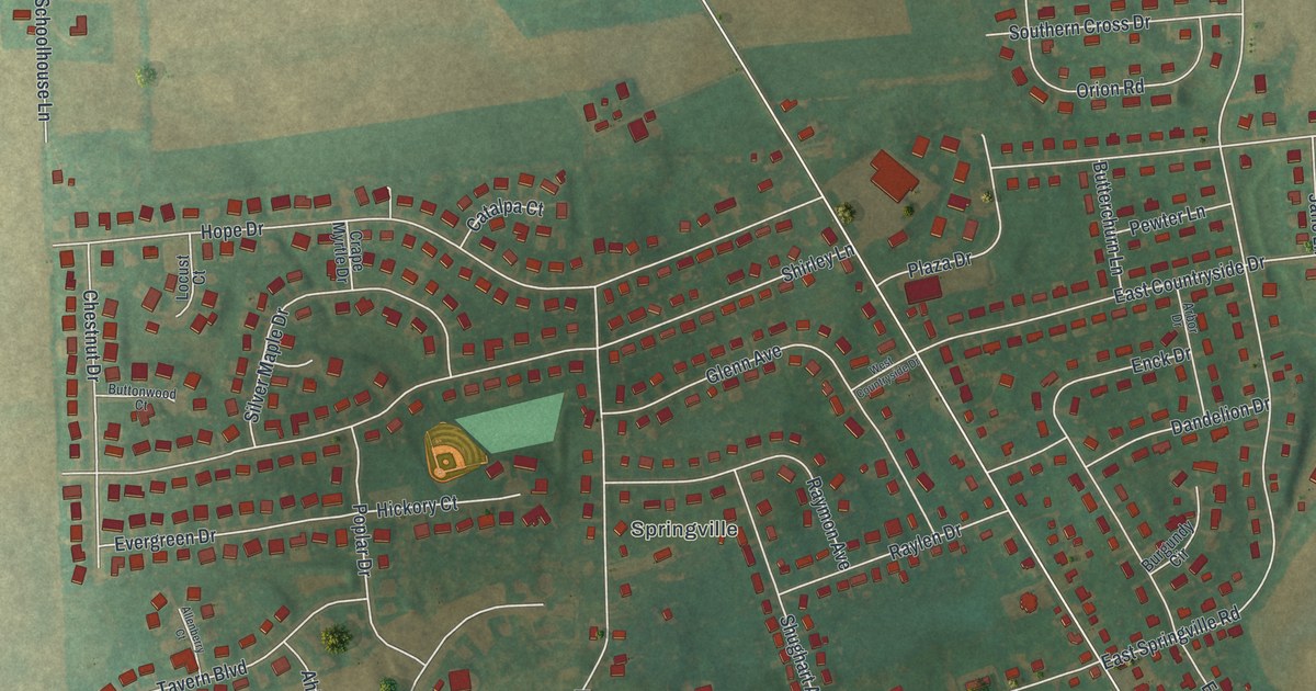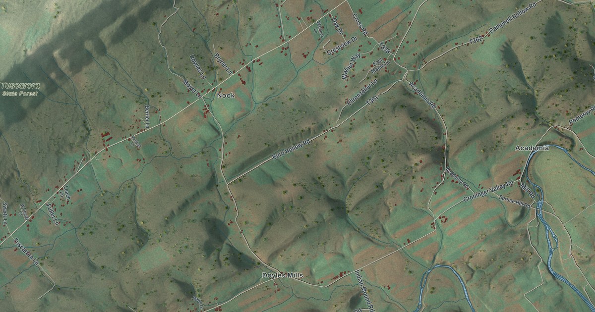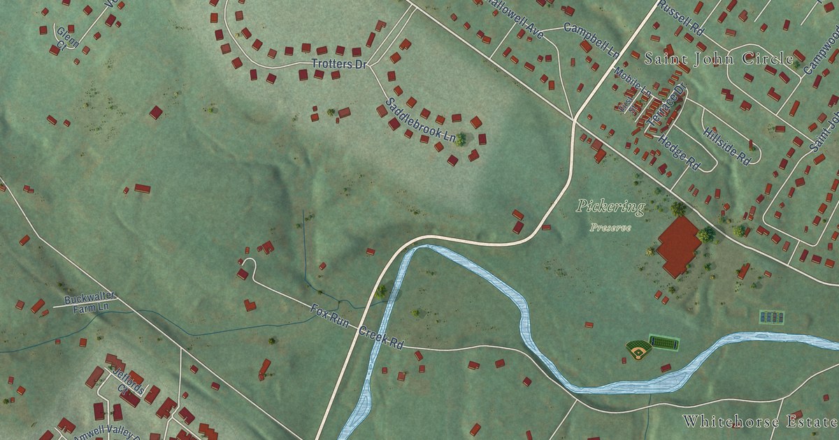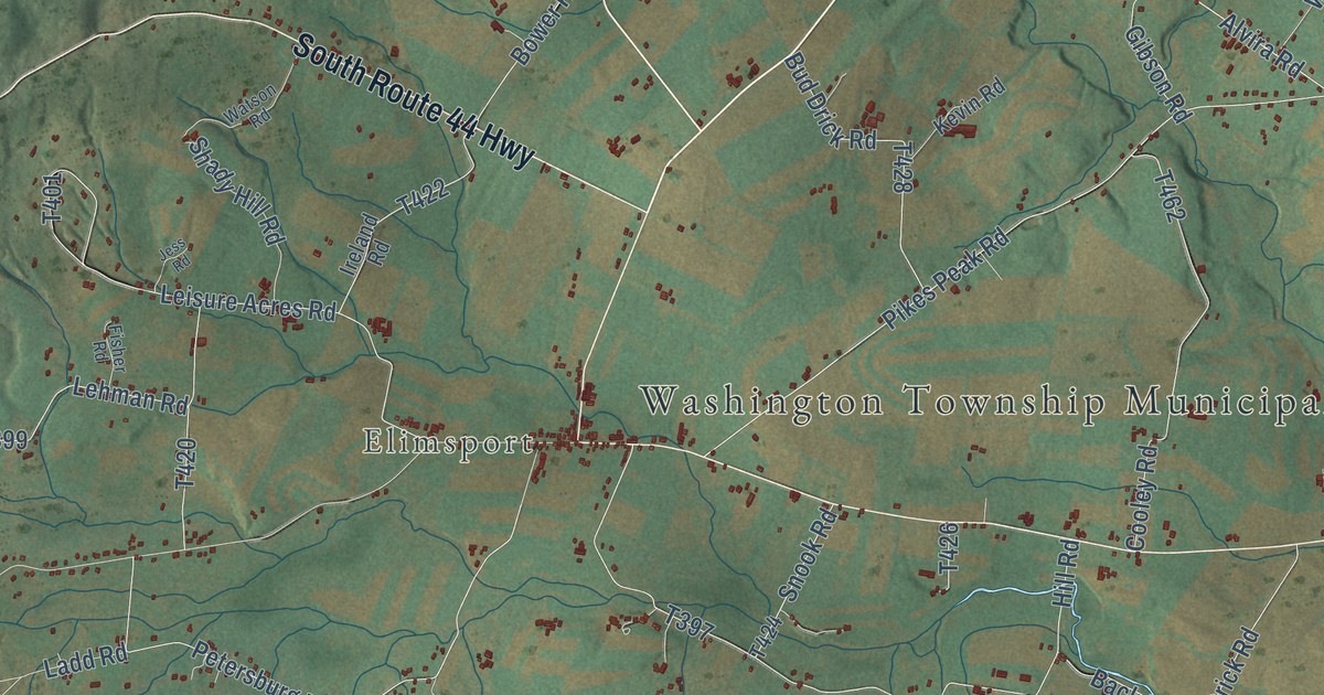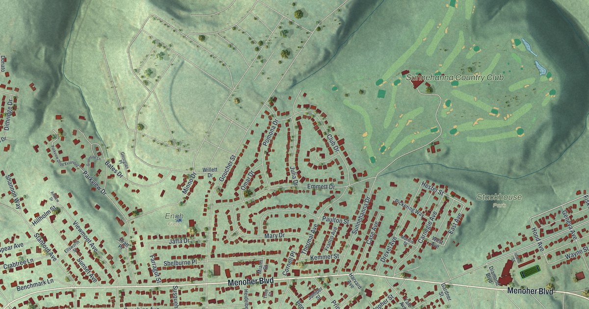
This beautifully detailed map of Westmont, Pennsylvania was created in 2026 using aerial imagery combined with modern topographical, census, street and landmark data. It’s a one-of-a-kind view of Westmont that combines accurate data with a vintage aesthetic. The map shows every building in its true location, many of the roads carry their names, and the shaded topographic relief shows the shape of the land.
Explore an aerial view of Westmont, Pennsylvania
On the map you’ll find Stackhouse Park, The Mound, Engh Field, and Sunnehanna Country Club, along with Menoher Boulevard, Saint Clair Road, Judy Street, Hester Street, East Avenue, Tioga Street, Linda Street, Edgehill Drive, and more. If you look closely you can even find your house accurately drawn in its correct location. Zoom in on the preview to look for yours.
Take a closer look at the Westmont map
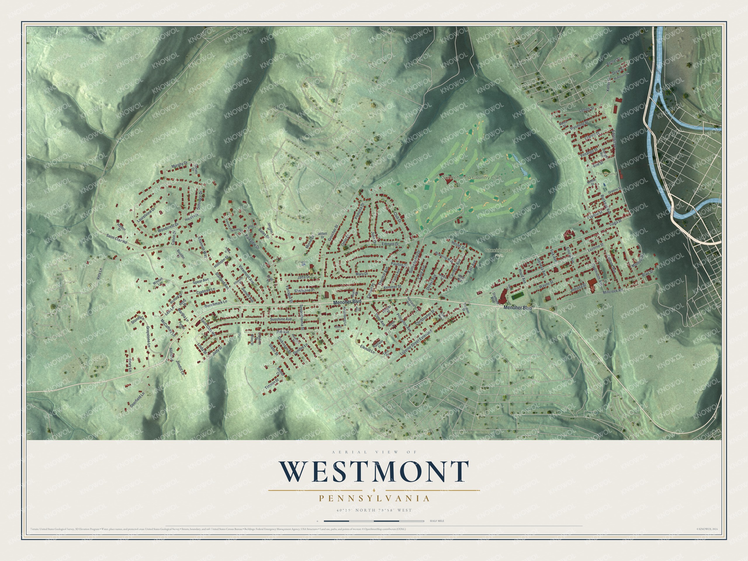
Street and place names on the Westmont, Pennsylvania map
These names are printed on the map of Westmont, Pennsylvania.
Places: Stackhouse Park, The Mound, Engh Field and Sunnehanna Country Club.
Streets and roads: Menoher Boulevard, Saint Clair Road, Judy Street, Hester Street, East Avenue, Tioga Street, Linda Street, Edgehill Drive, Luzerne Street, Murphy Drive, Woodcrest Drive, Millcreek Road.
More street names, A to Z
Albright Avenue, Alicia Lane, Andrew Drive, Bates Drive, Beaver Court, Benchmark Lane, Bethel Street, Blair Street, Boulder Drive, Bucknell Avenue, Calvin Drive, Carnegie Avenue, Case Avenue, Christopher Street, Clarence Street, Clarion Street, Club Drive, Colgate Avenue, Cornell Place, Crabtree Lane, Dartmouth Avenue, Debran Lane, Deerfield Lane, Diamond Boulevard, Dickinson Street, Dithridge Drive, Donato Court, Drew Street, Drexel Avenue, Drury Lane, Dundee Lane, Elknud Lane, Ellsworth Street, Emmett Drive, Emory Avenue, Erie Street, Farragut Street, Fayette Street, Fisk Avenue, Franco Avenue, Gardner Street, Geneva Avenue, Georgian Place, Goucher Street, Graystone Lane, Greene Street, Greentree Lane, Haldon Drive, Hamalin Drive, Harvard Avenue, Haverford Street, Hayden Drive, Heidelberg Lane, Hillholm Street, Hood Avenue, Idaho Street, Indiana Street, Jaffa Drive, Jimdot Lane, Julia Drive, Juniper Street, Keller Street, Kemmer Street, Laurelview Drive, Lehigh Street, Levi Lane, Luzerne Street Extended, Martha Lane, Mary Drive, McCaffrey Lane, McKeever Street, Miami Street, Mifflin Street, Minno Drive, Montour Street, Muncie Street, Oberlin Street, Omar Drive, Pamela Lane, Parkview Drive, Parkview Drive Extended, Paulton Street, Penn Avenue, Pickering Way, Pitt Avenue, Pomona Drive, Pratt Place, Princeton Avenue, Resty Court, Richard Court, Shannon Way, Shelburne Place, Slater Street, Spear Avenue, Stanford Avenue, Stoney Lane, Sunnehanna Drive, Sunset Avenue, Sunshine Avenue, Susquehanna Street, Tara Drive, Theo Court, Thermal Avenue, Timson Street, Vance Street, Venango Street, Veta Lane, Viewmont Avenue, Wayne Street, West Avenue, Wiley Street, Willett Drive, Windan Lane, Wyoming Street, Yale Avenue.
See the Westmont, Pennsylvania map on a wall
The Westmont map as an 18 x 24 inch print in a black frame.

This beautifully detailed map of Westmont makes an attractive addition to your office, library, or den, and it can even be used to teach children the geography and history of the area. It also makes a great gift for anyone with Westmont roots. When you’re done exploring, click here to get your copy of the Westmont map.