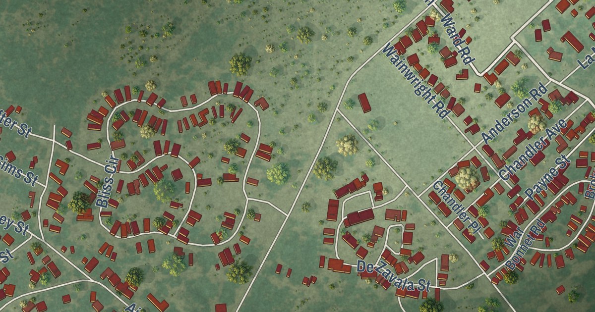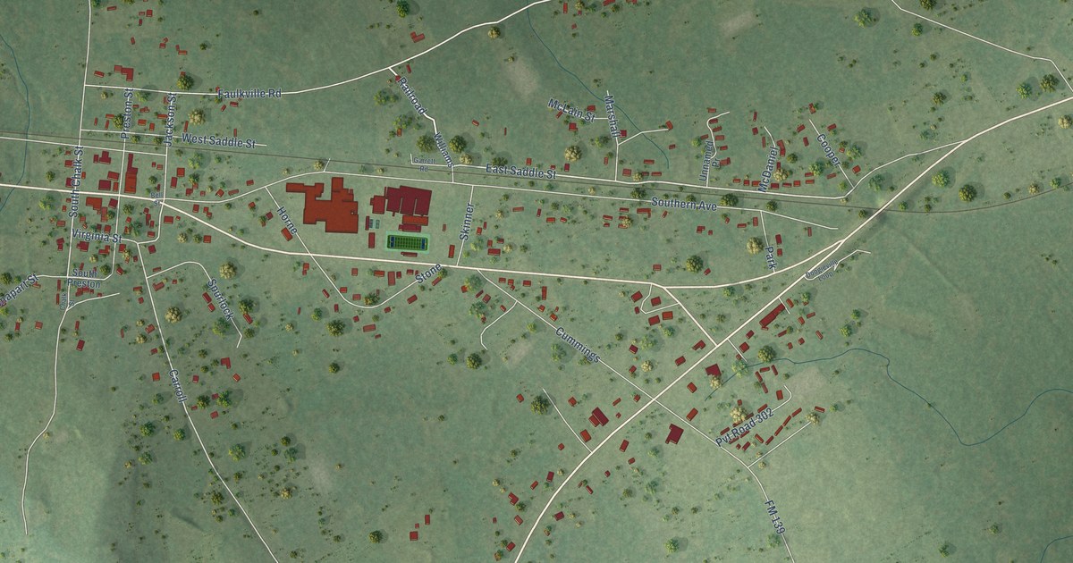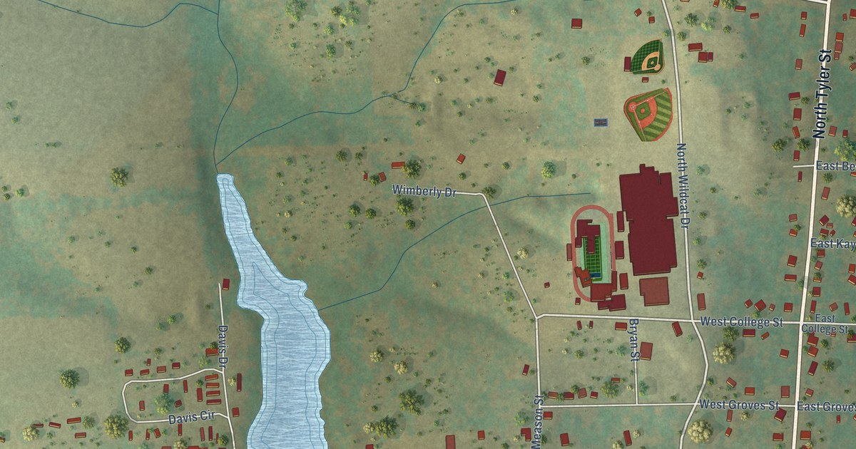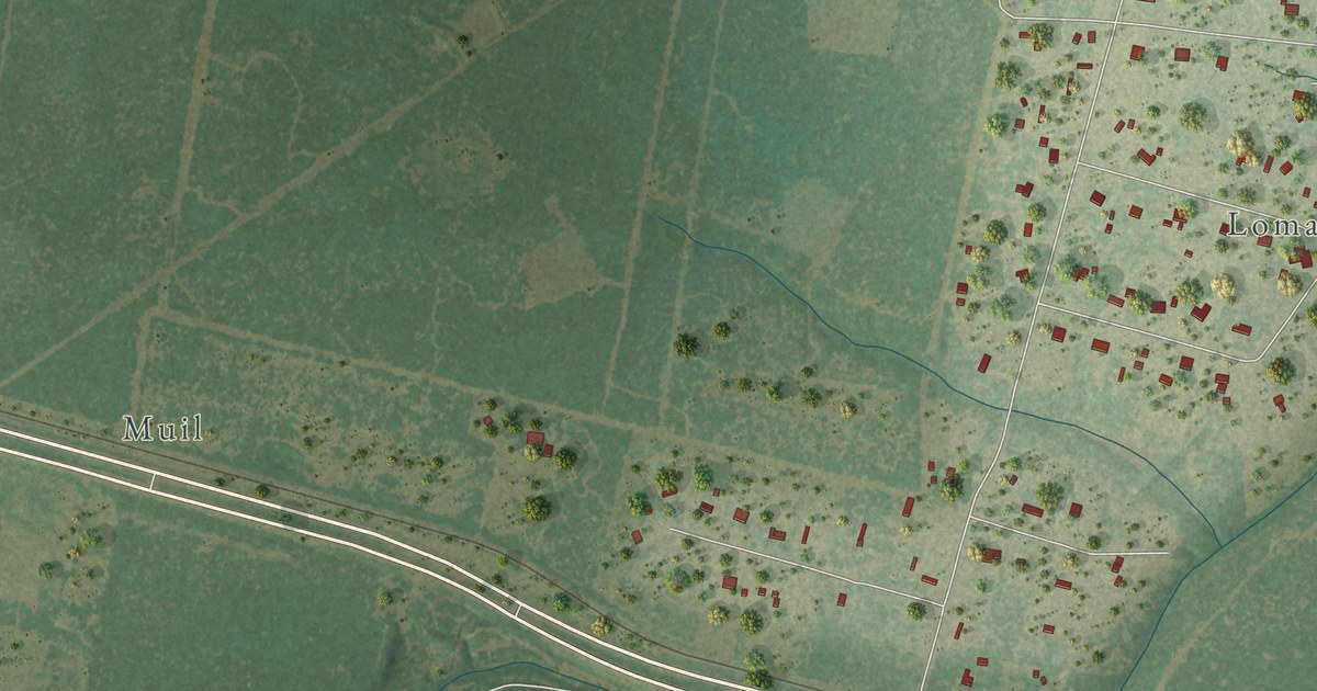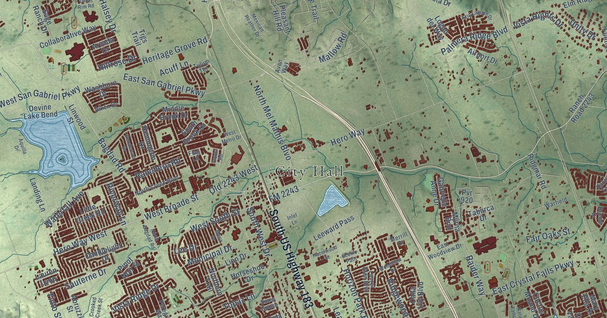
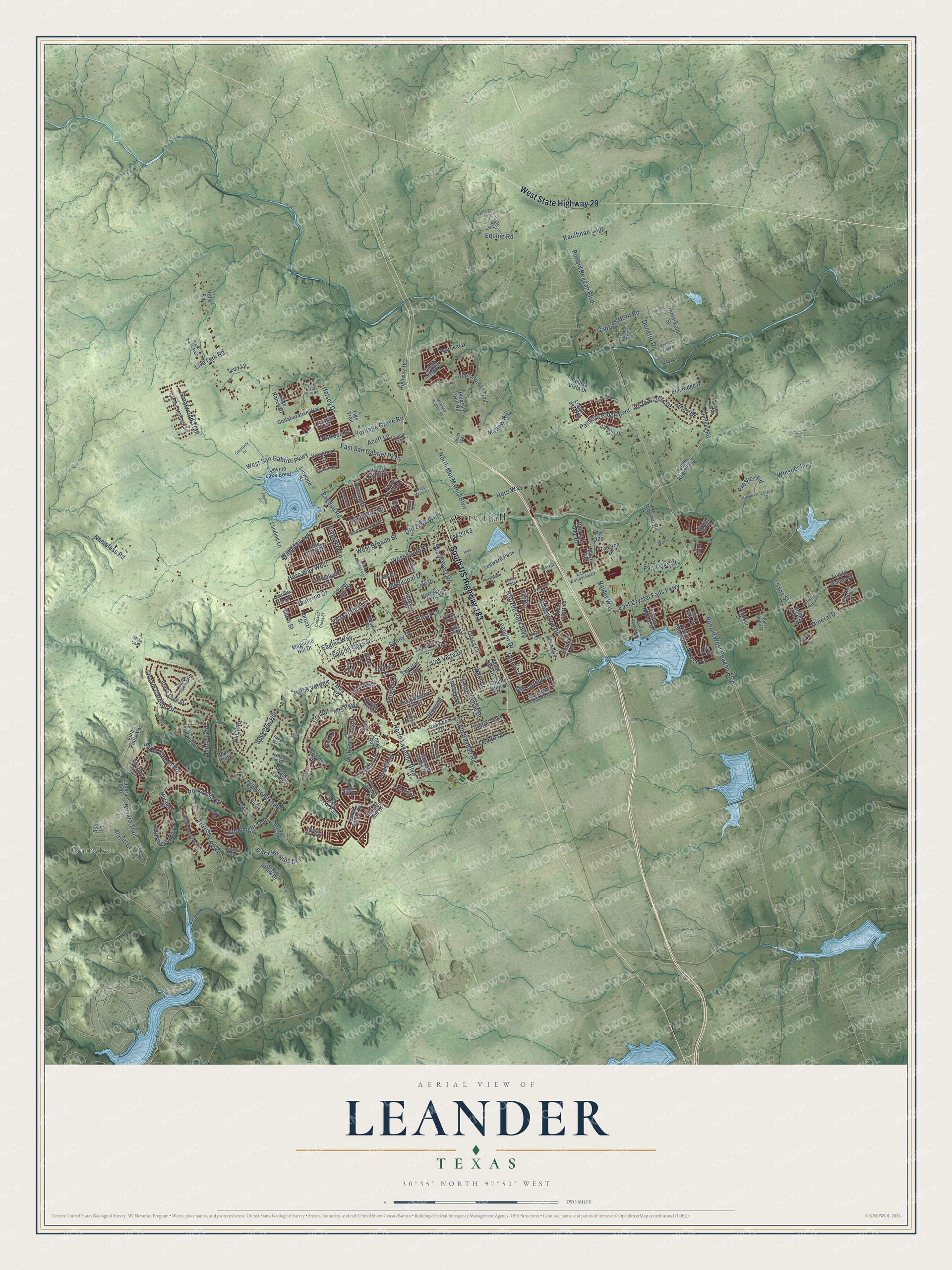
This beautifully detailed map of Leander, Texas was created in 2026 using aerial imagery combined with modern topographical, census, street and landmark data. It’s a one-of-a-kind view of Leander that combines accurate data with a vintage aesthetic. The map shows every building in its true location, many of the roads carry their names, and the shaded topographic relief shows the shape of the land.
Explore an aerial view of Leander, Texas
On the map you’ll find City Hall, Nameless, and Old 2243 West, along with South US Highway 183, West State Highway 29, Osage Drive, FM 2243, Hero Way West, West Broade Street, South Bagdad Road, Bagdad Road, South West Drive, and more. If you look closely you can even find your house accurately drawn in its correct location. Zoom in on the preview to look for yours.
Did you know this piece of Leander, Texas history?
From the Handbook of Texas: "Williamson County histories have credited railroad official Leander Brown as the town's namesake, but more than likely, the community was named after Karl Leander, station manager for the Austin and Northwestern Railroad."
Take a closer look at the Leander map
Street and place names on the Leander, Texas map
These names are printed on the map of Leander, Texas.
Places: City Hall and Nameless.
Streets and roads: South US Highway 183, West State Highway 29, Osage Drive, FM 2243, Hero Way West, West Broade Street, South Bagdad Road, Old 2243 West, Bagdad Road, South West Drive, Siena Sunset Road, Hillrose Drive.
More street names, A to Z
Abruzzi Street, Acuff Lane, Aiken Drive, Airport Drive, Alasio Drive, Ambush Canyon, American Trail, Annassa Court, Aquilla Drive, Argyle Lane, Arvada Drive, Asti Lane, Aven Way, Azul Lagoon Drive, Bear Claw, Bellisa Vista Drive, Bel Paese Bnd, Big Tree Trail, Bovina Drive, Bowen Street, Branding Iron Lane, Brave Face Street, Brome Drive, Bryson Ridge Trail, Bull Nettle Drive, Burr Parkway, Cactus Mound Drive, Calla Lily Boulevard, Candlelight Drive, Catus Valley Drive, Champions Corner Drive, Charade Drive, Collaborative Way, Coral Valley Drive, Council Springs Pass, County Glen Drive, Creativity Drive, Crooked Creek Street, Crystal Falls Parkway, Da Vinci Trail, Deep Pocket Drive, Deepwoods Trail, Deer Rim Road, Devine Lake Bend, Donetto Drive, Dream Catcher Drive, Durango Hills Drive, Eagles Way, East Crystal Falls Parkway, East San Gabriel Parkway, East Woodview Drive, El Cielo, Elm Ridge Drive, Emerald Isle Drive, Equine Road, Euless Lane, Fair Oaks Street, Falcon Oaks Drive, First Vw, Flag Lane, Flintlock Road, Fulton Drive, Gabrielle Anne Drive, Gabriels Horn Road, Glass Drive, Goodnight Trail, Granite Creek Drive, Granite Hill Drive, Greatwood Trail, Halflinger Lane, Halsey Drive, Harvest Dance Drive, Hazelwood Street, Heartleaf Drive, Henderson Drive, Heritage Grove Road, Hero Way, High Lonesome, Highway 183, Hinterwald Street, Horizon Park Boulevard, Horseshoe Drive, Hudson Lane, Humble Live Drive, Inlet Lane, Ireland Drive, Joppa Road, Judge Fisk Drive, Julian Lane, Juniper Rim Road, Kauffman Loop, Lajitas, Landing Lane, Laurel Glen Boulevard, Lauren Loop, Leander Drive, Lee Drive, Leeward Pass, Legend Hill Drive, Linwood Street, Lion's Lair, Lion Drive, Little Creek Road, Live Oak Road, Logan del Way, Lone Oak Drive, Long Bow, Longbow Drive, Long Lasso Pass, Los Vista Drive, Lucera Bnd, Lyla Lane, Magnolia Hill Drive, Mallow Road, Mary Ella Drive, Mazarro Drive, McCarthur Drive, Merrill Drive, Mesa Drive, Mesa Oaks, Mexican Heather Drive, Middle Brook Drive, Milan Meadows Drive, Mineral Drive, Mira Vis, Mockingbird Lane, Mondello Path, Municipal Drive, Murando Lane, Myrna Bnd, Nameless Road, Natural Falls Run, North Bagdad Road, North Creek Boulevard, Northern Trail, North Lakeline Boulevard, North Mel Mathis Blvo, Novara Trail, Oakwood Drive, Overland Drive, Painted Sky Bnd, Palmera Ridge Boulevard, Palos Verdes, Pasa Tiempo, Pecan Creek Drive, Peregrine Way, Piana Place, Pinot Noir Street, Plano Lane, Pleasant Hill Road, Portobello Road, Pow Wow, Prosper Road, Pueblo Pass, Pvr 920, Rabbits Tail Drive, Raider Way, Ranchero Road, Rancho Mirage, Ranch Road 2243, Remington Drive, Ridgewood Drive, Ridgmar Road, River Crst, Riverway Lane, Roaring Fork, Rolls Road, Ronald Reagan Boulevard, Ronald West Reagan Boulevard, Saco Street, Sage Ranch Drive, Sandbur Lane, Sauterne Drive, Scenic Path, Sidewinder, Sioux Trail, Snow Goose, Sonny Drive, South Brook Drive, Speaking Rock, Spyglass Hill, Tabarca Drive, Tall Chief, Tamarac Trail, Terry Lane, Tigs Trail, Tinto Street, Topaz Lane, Travisso Parkway, Trigger Trail, Trinity Woods Street, Tswana Drive, Tula Trail, Tulum Terrace, Union Street, Unity Drive, Venezia Vw, Ventana Canyon, Vestland Fjord Street, Villa Rialto Vw, Vintage Drive, Vista Hights Drive, Vista Ridge Drive, Vista Rock Drive, Volente Lane, Warfield, Washburn Drive, Washington Square Drive, Waterfall Avenue, West Drive, West Metro Drive, West San Gabriel Parkway, West South Street, Whisper Lane, Whitt Creek Trail, Wigwam, Woodview Drive.
See the Leander, Texas map on a wall
The Leander map as an 18 x 24 inch print in a black frame.

This beautifully detailed map of Leander makes an attractive addition to your office, library, or den, and it can even be used to teach children the geography and history of the area. It also makes a great gift for someone who left Leander and still calls it home. When you’re done exploring, click here to get your copy of the Leander map.