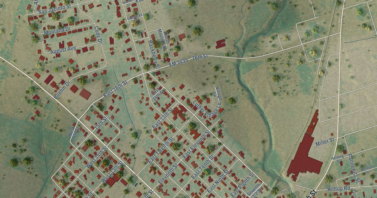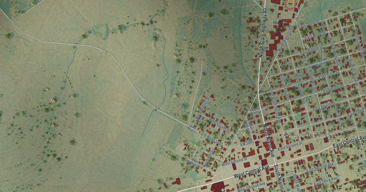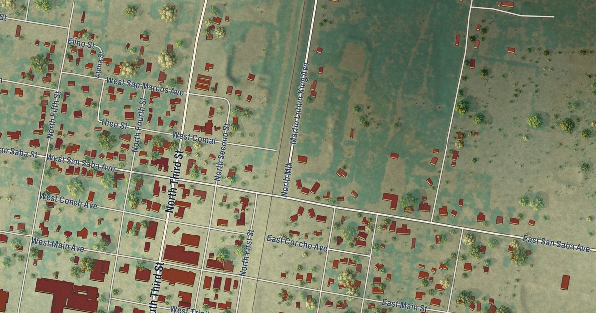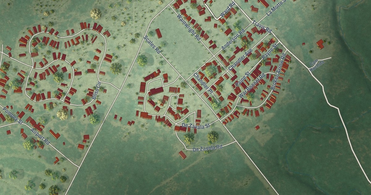
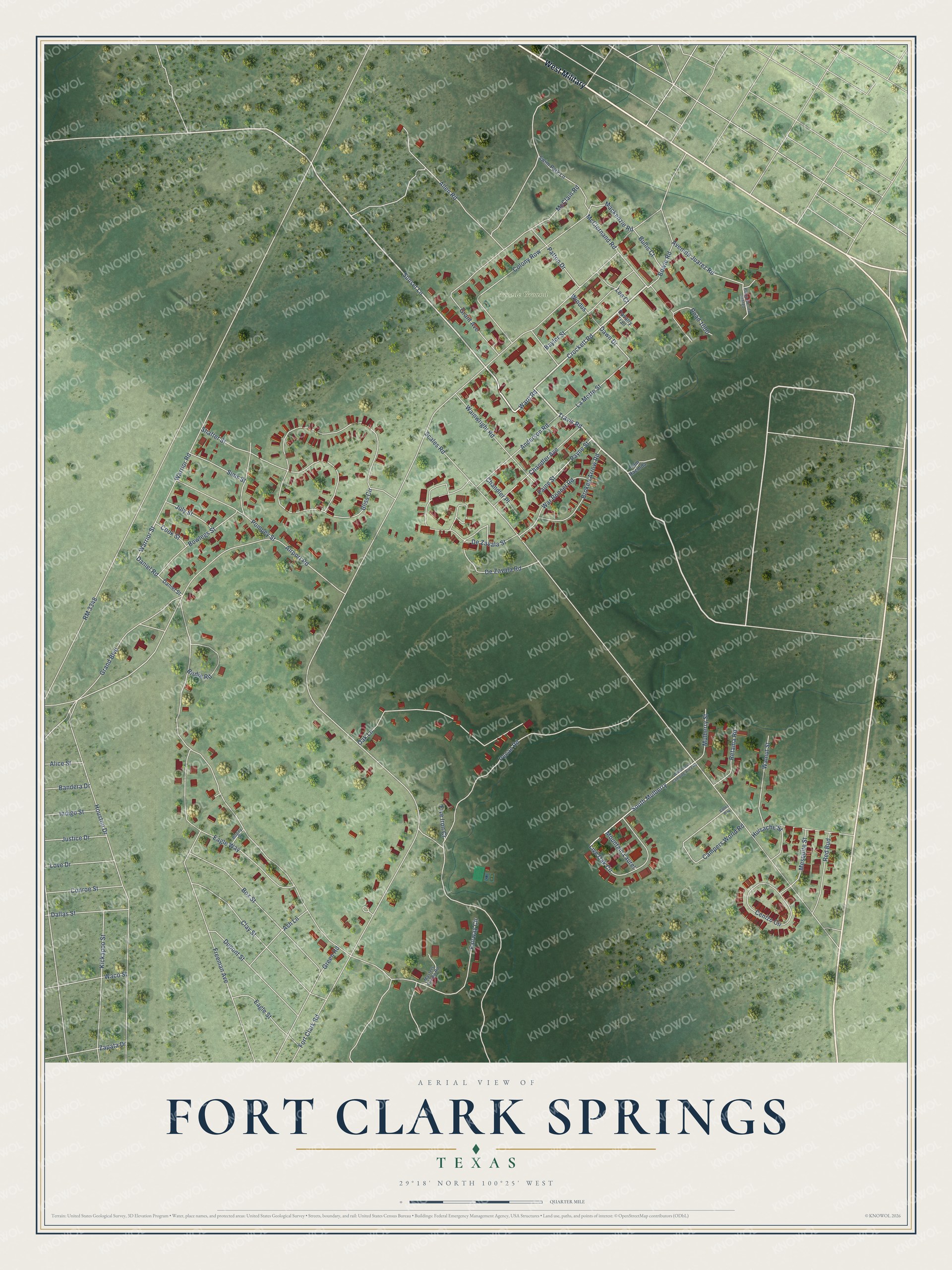
This beautifully detailed map of Fort Clark Springs, Texas was created in 2026 using aerial imagery combined with modern topographical, census, street and landmark data. It's a modern aerial view of Fort Clark Springs in Kinney County, Texas, that combines modern data with a vintage aesthetic. The roads feature printed names, and if you look closely you can find your exact house accurately shown in its correct location.
Explore an aerial view of Fort Clark Springs, Texas
On this map you'll find Parade Ground, West Military, Travis Road, Crockett Road, Ward Road, Sunset Lane, Daniel Road, Warrior Street, South Mulberry, Mackenzie Road, Dawn Drive, Fort Clark Road, and more. Each red shape is a building, so zoom in on the preview and look for yours.
Fort Clark Springs has a story worth telling. The Handbook of Texas puts it this way: "In 1971 Fort Clark was purchased by North American Towns of Texas and developed into a private recreation and retirement community. Since many famous officers served at Fort Clark, a number of the streets and buildings at the fort honor their names, including those of Mackenzie, Shafter, Bullis, Bliss, Wainright, and Patton."
Fort Clark Springs is a community in Kinney County. The Census Bureau counted 1,215 people here in 2020.
Take a closer look at the Fort Clark Springs map
Names on this map
These names are printed on this map.
Places: Parade Ground.
Streets and roads: West Military, Travis Road, Crockett Road, Ward Road, Sunset Lane, Daniel Road, Warrior Street, South Mulberry, Mackenzie Road, Dawn Drive, Fort Clark Road, Scales Road.
More street names, A to Z
Airport Road, Alice Street, Allen Road, Anderson Road, Ash Lane, Avenida Juarez Road, Bandera Drive, Baylor Street, Birdie Road, Bliss Circle, Bogey Drive, Bowie Road, Bowlegs Street, Box Street, Broken Arrow Road, Bullis Court, Cam Hacinda, Campers World Road, Cavalry Trail, Cenizo Circle, Chandler Avenue, Chandler Place, Clay Street, Colony Row, Conroe Street, Cook Street, Dallas Street, Daniel Street, De Zavala Road, De Zavala Street, Dupont Street, Eagle Street, Eagle Way, Fairway Circle, Five Iron Cr, Freeman Avenue, Grand Boulevard, Grant Avenue, Green Road, Houston Drive, Huisache Street, Indigo Street, July Street, Justice Drive, Kickapoo Street, La Motte Street, Lee Court, Live Oak Circle, Love Drive, Masters Condo Road, McClain Road, McClernand Road, Mesquite Street, Mountain Laurel, Mulberry Street, Oak Lane, Paine Street, Patton Drive, Payne Street, Pecan Road, Plaza Benito Juarez, Pompey Street, Red Bud, Retama Road, RM 3348, Road 1000, Shafter Street, Sims Street, Swim Park Lane, Valley Way, Waco Street, Wainwright Road, Walnut Street, War Bonnet Road, Warrior Road, Wilderness Camping Area Road, Windus, Zapata Drive.
See it on a wall
The Fort Clark Springs map as a framed print. Swipe for more.


Created by KNOWOL in 2026. The buildings are small red shapes, the roads carry their printed names, and shaded relief shows the shape of the land. The title panel reads "AERIAL VIEW OF FORT CLARK SPRINGS, TEXAS" with 29°18' NORTH 100°25' WEST.
It looks right in a kitchen, an office or a den, and it's a gift for anyone who grew up in Fort Clark Springs or moved away. Open the preview and find your street. See sizes and frames for the Fort Clark Springs map.