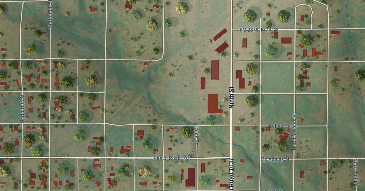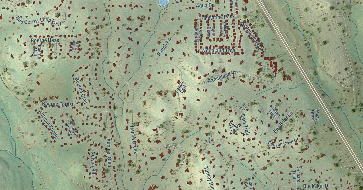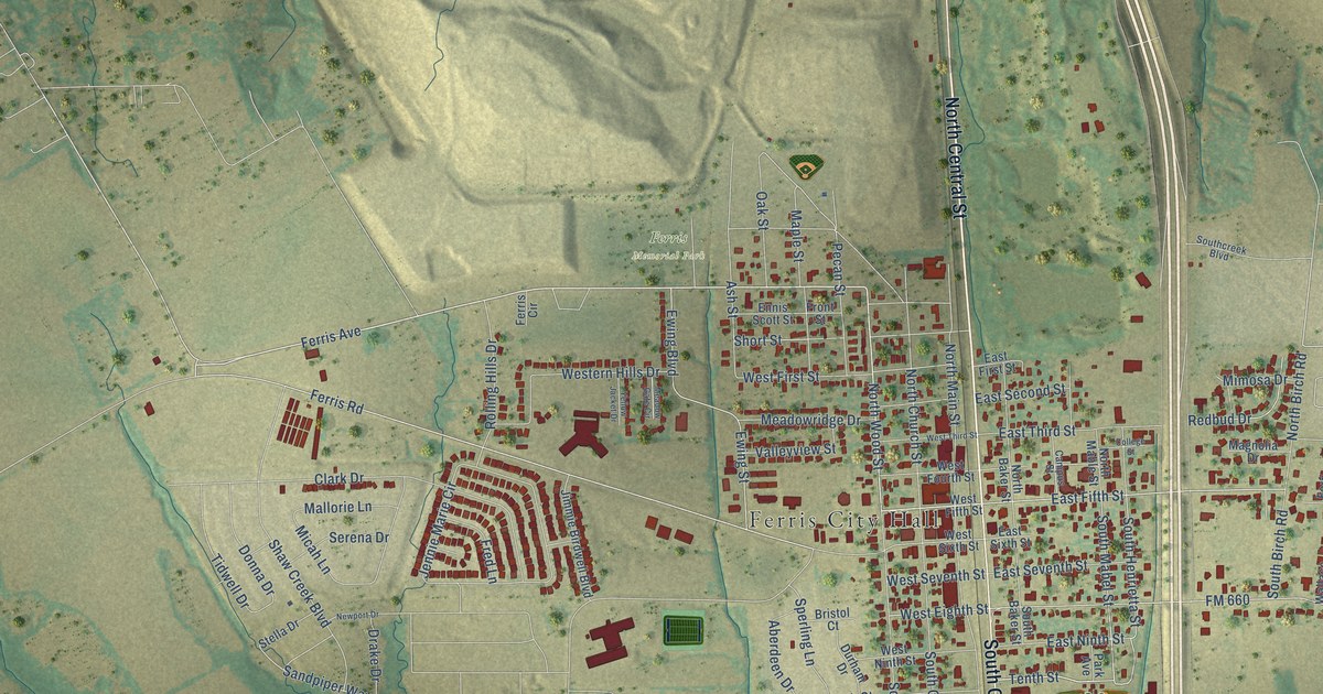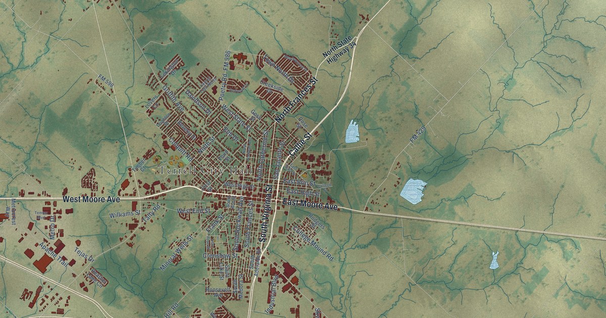
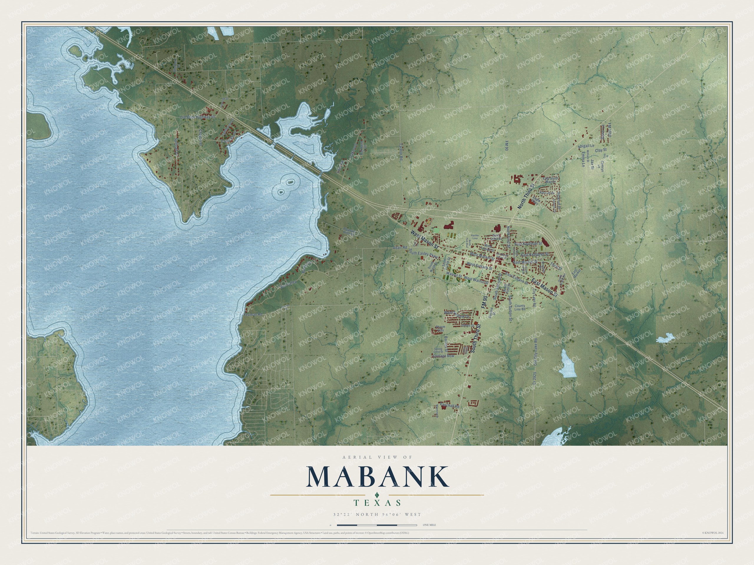
This beautifully detailed map of Mabank, Texas was created in 2026 using aerial imagery combined with modern topographical, census, street and landmark data. It’s a one-of-a-kind view of Mabank that combines accurate data with a vintage aesthetic. The map shows every building in its true location, many of the roads carry their names, and the shaded topographic relief shows the shape of the land.
Explore an aerial view of Mabank, Texas
On the map you’ll find South Third Street, FM 90, North Third Street, West Mason Street, East Mason Street, Walnut Street, East Market Street, Barnes Street, Third Street, West Market Street, West Walnut Street, West Eubank Street, and more. If you look closely you can even find your house accurately drawn in its correct location. Zoom in on the preview to look for yours.
Did you know this piece of Mabank, Texas history?
From the Handbook of Texas: "Considerable oil exploration took place around Mabank between 1917 and 1925, although little oil was discovered."
Take a closer look at the Mabank map
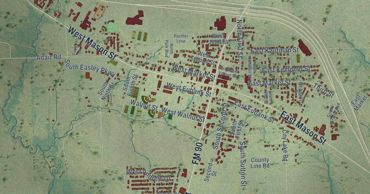
Street names on the Mabank, Texas map
These names are printed on the map of Mabank, Texas.
Streets and roads: South Third Street, FM 90, North Third Street, West Mason Street, East Mason Street, Walnut Street, East Market Street, Barnes Street, Third Street, West Market Street, West Walnut Street, West Eubank Street.
More street names, A to Z
Abigail Lane, Adair Road, Baker Lane, Burke Circle, Camryn Lane, Cape Shore, Carly Lane, Chaparrel, City Lake Road, Clay Street, Cole Street, Cottage Row, County Line Road, Cr 2925, Eagle Parkway, East Eubank Street, East Kaufman Street, East Kempner Street, East Market, East Mount Vernon Street, East South Way Drive, Emma Lane, FM 3080, James Street, Jax Street, Jurassic Circle, Kaci Jo Drive, Lakeside Drive, Lake Vw, Lighthouse Lane, Manning Drive, McAnally Drive, North Coleman Street, North First Street, North Park Boulevard, Oak Bend Trail, Oakmont, Old City Lake Road, Old State Highway 40, Panther Loop, Paschall Road, Pharm Hills, Pleasure Hills Road, Rickrod Drive, Second Street, Sherbert Lane, South Dink Street, South Easley Parkway, South Eighth Street, South First Street, South Grand Avenue, South Kemp Street, South Ninth Street, South Second Street, South Sutton Street, Splitrail Drive, Spring Crest Street, Sun Valley, Tarlton Road, West Andrew Drive, West Jeter Street, West Troupe Street, William Street, Yeoman Road, Yoeman Road.
See the Mabank, Texas map on a wall
The Mabank map as an 18 x 24 inch print in a black frame.

This beautifully detailed map of Mabank makes an attractive addition to your office, library, or den, and it can even be used to teach children the geography and history of the area. It also makes a great gift for someone who left Mabank and still calls it home. When you’re done exploring, click here to get your copy of the Mabank map.