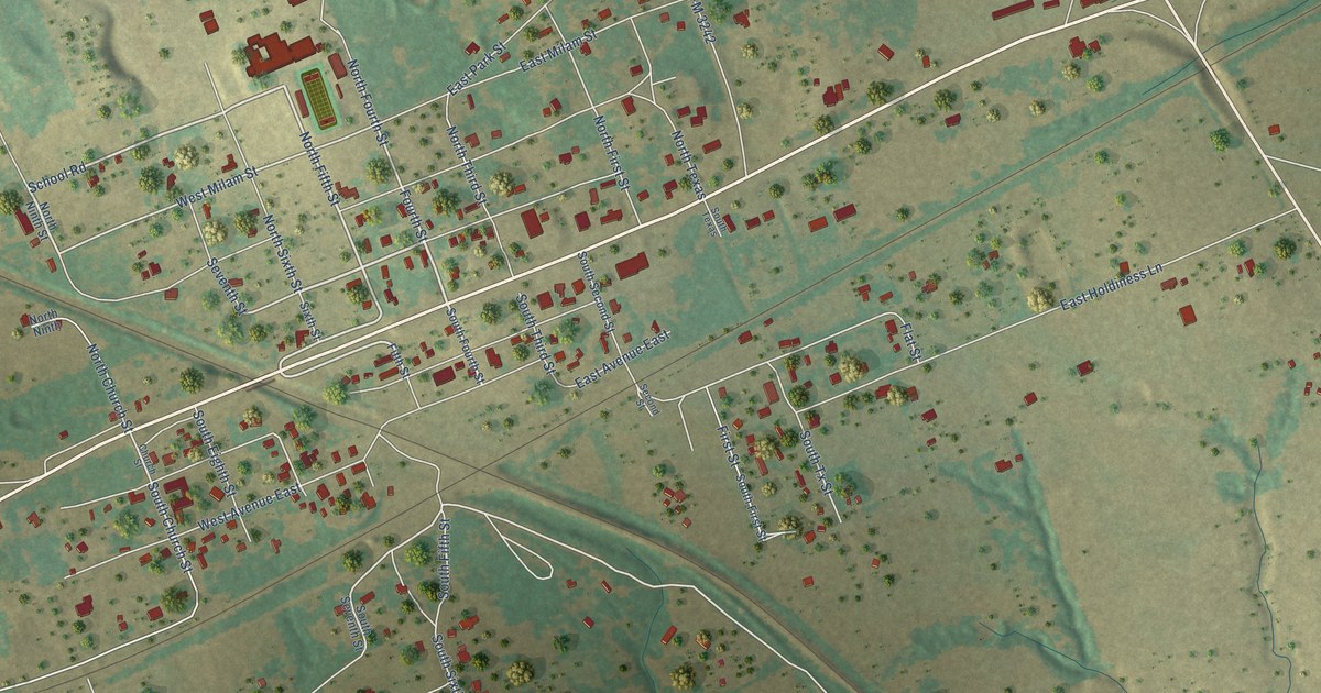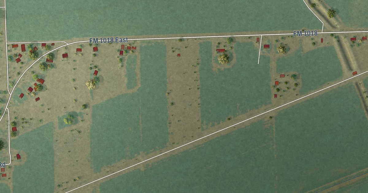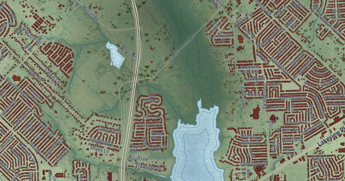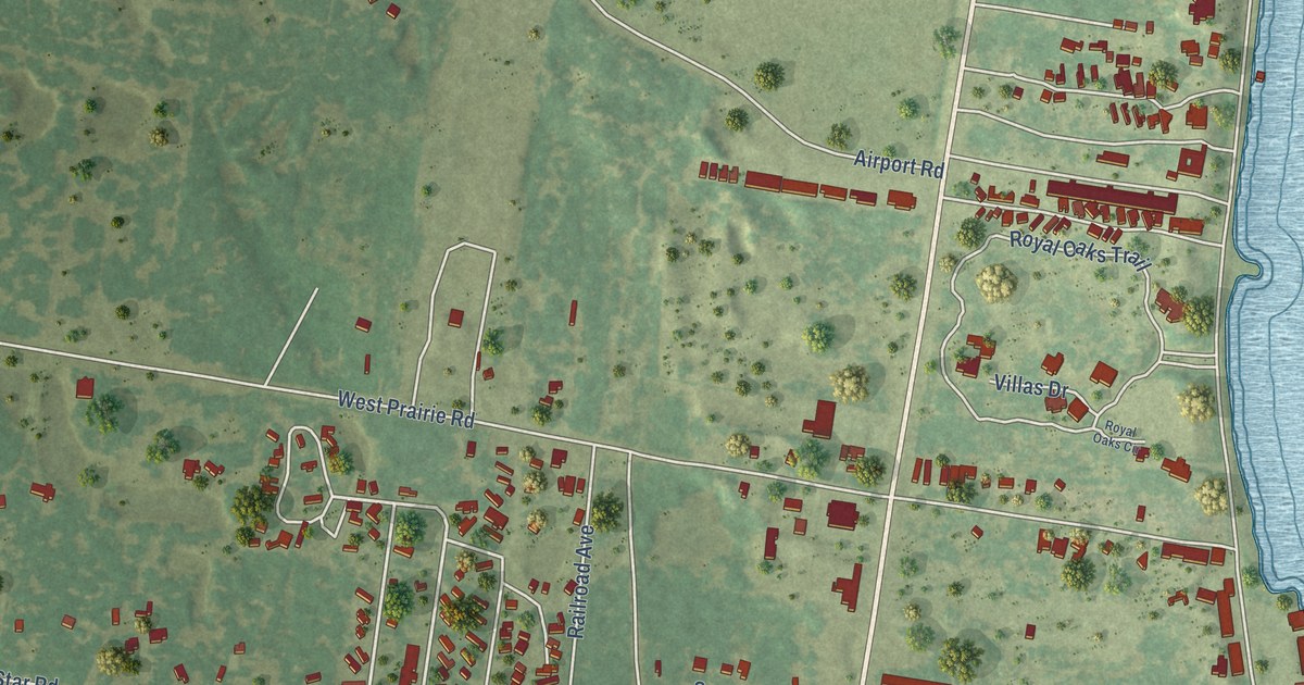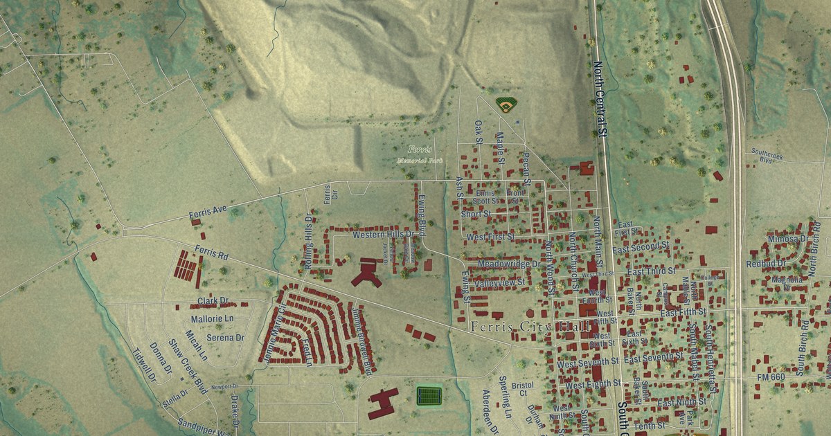
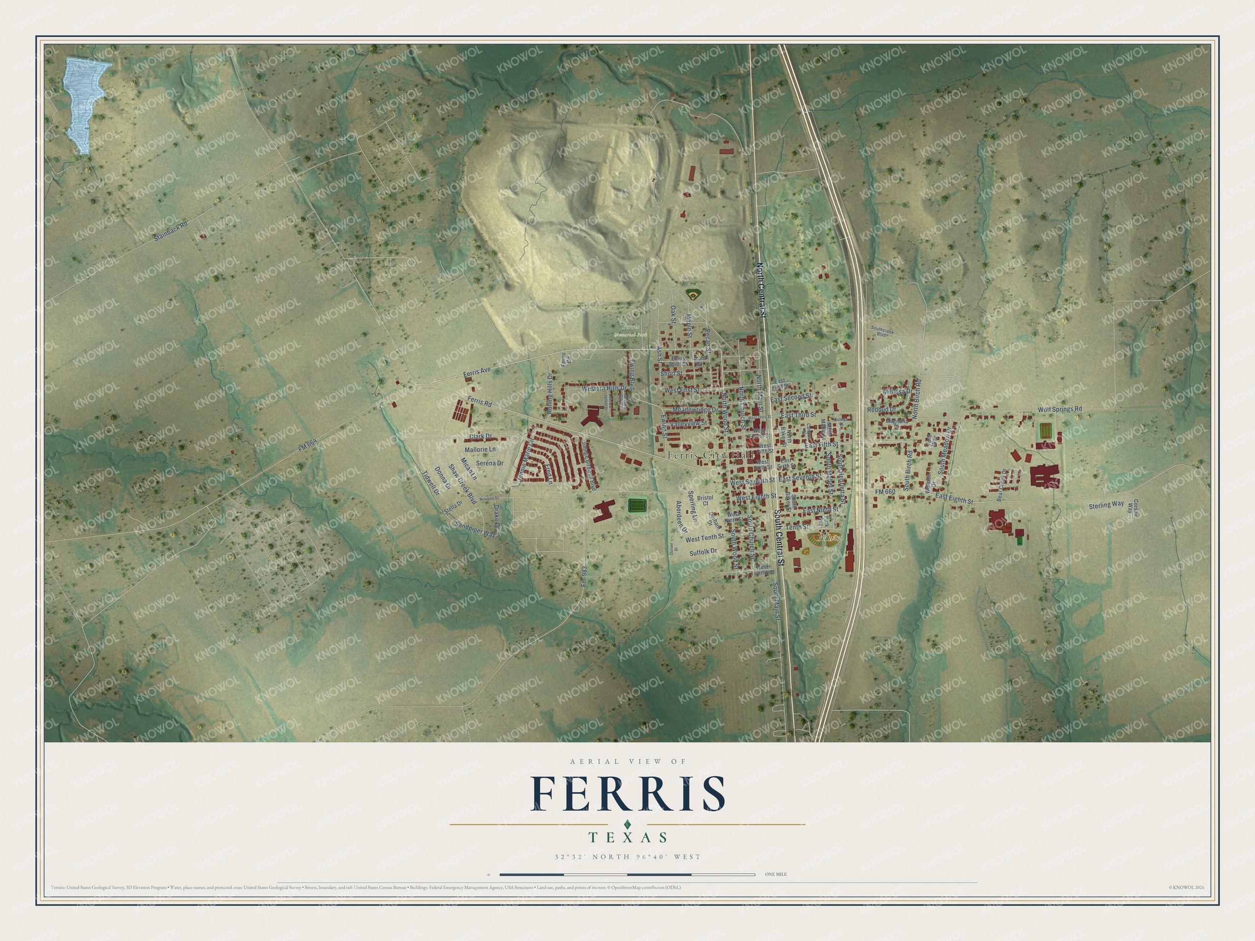
This beautifully detailed map of Ferris, Texas was created in 2026 using aerial imagery combined with modern topographical, census, street and landmark data. It’s a one-of-a-kind view of Ferris that combines accurate data with a vintage aesthetic. The map shows every building in its true location, many of the roads carry their names, and the shaded topographic relief shows the shape of the land.
Explore an aerial view of Ferris, Texas
On the map you’ll find Ferris City Hall, Ferris Memorial Park, and Mutz Park, along with North Central Street, South Central Street, Ferris Avenue, North Wood Street, East Fifth Street, North Birch Road, Ferris Road, Tenth Street, South Henrietta Street, and more. If you look closely you can even find your house accurately drawn in its correct location. Zoom in on the preview to look for yours.
Did you know this piece of Ferris, Texas history?
From the Handbook of Texas: "In 1892 Ferris was incorporated, and its 350 residents supported some twenty businesses in addition to a number of cotton gins and hotels."
Take a closer look at the Ferris map
Street and place names on the Ferris, Texas map
These names are printed on the map of Ferris, Texas.
Places: Ferris City Hall, Ferris Memorial Park and Mutz Park.
Streets and roads: North Central Street, South Central Street, Ferris Avenue, North Wood Street, East Fifth Street, North Birch Road, Ferris Road, Tenth Street, South Henrietta Street, South Mabel Street, Suffolk Drive, West Eighth Street.
More street names, A to Z
Aberdeen Drive, Ash Street, Bear Creek Drive, Bristol Court, Campus Street, Clark Drive, College Street, Corsair Way, Donna Drive, Dorset Drive, Drake Drive, Durham Drive, East Eighth Street, East First Street, East Ninth Street, East Second Street, East Seventh Street, East Sixth Street, East Third Street, Ennis Scott Street, Ewing Boulevard, Ewing Street, Ferris Circle, Fm-983, FM 660, FM 664, Ford Way, Fred Lane, Front Street, Jennie Marie Circle, Jimmie Birdwell Boulevard, Magnolia Drive, Mallorie Lane, Maple Street, Meadow Gate Circle, Meadowridge Drive, Micah Lane, Mimosa Drive, Newport Drive, North Baker Street, North Church Street, North Mable Street, North Main Street, Oak Street, Park Avenue, Pecan Street, Redbud Drive, Rolling Hills Drive, Sandpiper Way, Serena Drive, Shaw Creek Boulevard, Short Street, South Baker Street, South Birch Road, South Church Street, Southcreek Boulevard, South Main Street, South Meadow Drive, South Wood Street, Sperling Lane, Stainback Road, Stella Drive, Sterling Way, Tidwell Drive, Valleyview Street, Wallace Drive, Western Hills Drive, West Fifth Street, West First Street, West Fourth Street, West Ninth Street, West Seventh Street, West Sixth Street, West Tenth Street, West Third Street, West Twelfth Street, Wolf Springs Road, Yellow Jacket Drive.
See the Ferris, Texas map on a wall
The Ferris map as an 18 x 24 inch print in a black frame.

This beautifully detailed map of Ferris makes an attractive addition to your office, library, or den, and it can even be used to teach children the geography and history of the area. It also makes a great gift for anyone with Ferris roots. When you’re done exploring, click here to get your copy of the Ferris map.