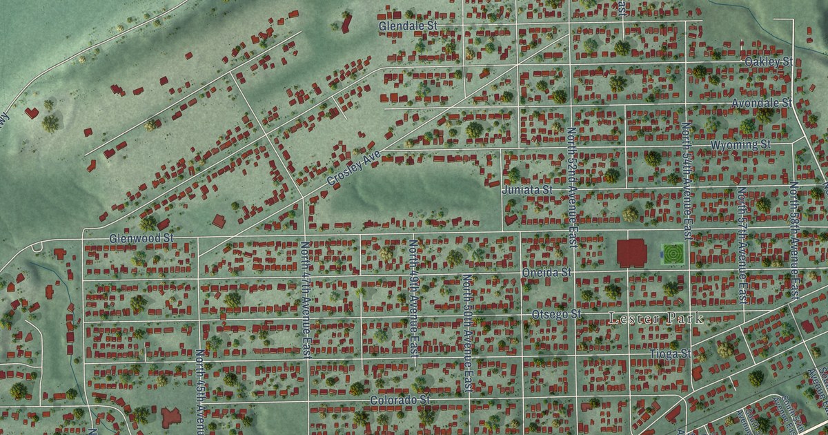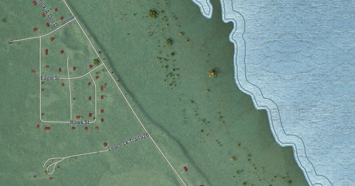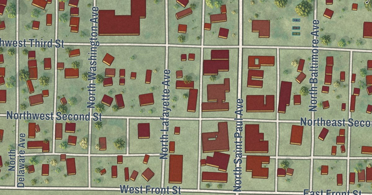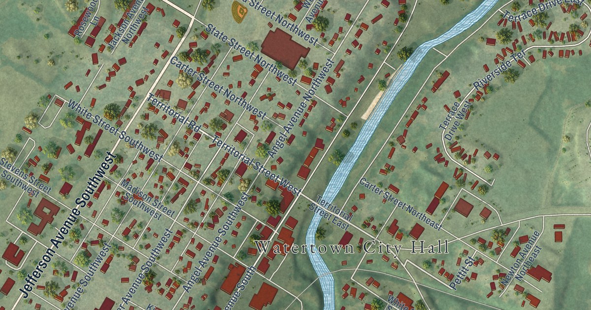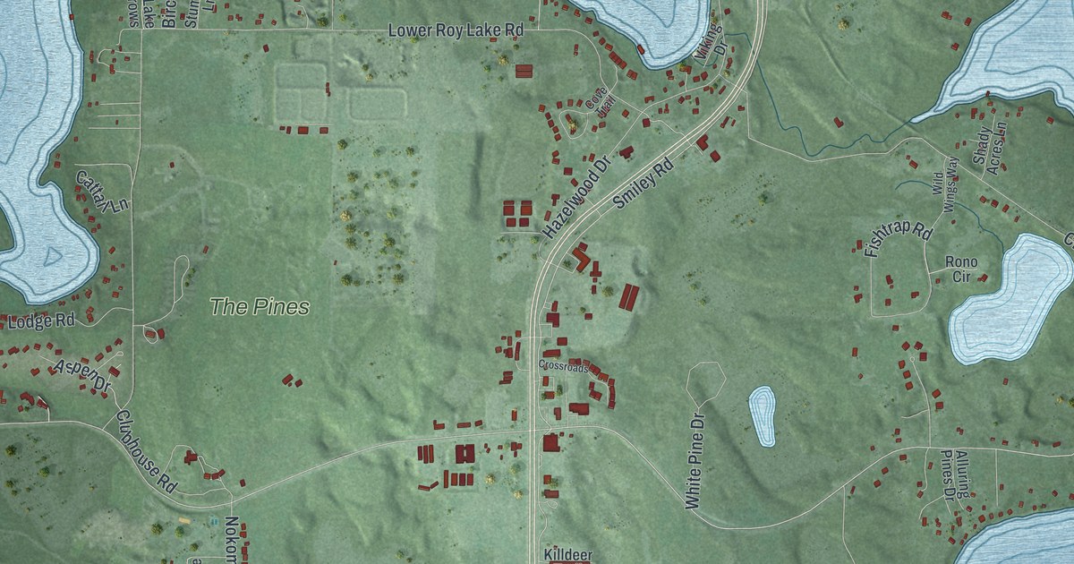
This beautifully detailed map of Nisswa, Minnesota was created in 2026 using aerial imagery combined with modern topographical, census, street and landmark data. It’s a one-of-a-kind view of Nisswa that combines accurate data with a vintage aesthetic. The map shows every building in its true location, many of the roads carry their names, and the shaded topographic relief shows the shape of the land.
Explore an aerial view of Nisswa, Minnesota
On the map you’ll find Nisswa City Hall and The Pines, along with Pequot Terrace, Lakers Lane, Harbor Drive, East Clark Lake Road, Saint Columbo Road, Main Street, Hyland Avenue, Smiley Road, Bass Lake Road, Lower Roy Lake Road, and more. If you look closely you can even find your house accurately drawn in its correct location. Zoom in on the preview to look for yours.
Did you know this piece of Nisswa, Minnesota history?
From the Nisswa Centennial Marker: "Settled in 1886. Became Village of Smiley in 1898. Organized as township in 1900. Became Nisswa in 1908."
Take a closer look at the Nisswa map
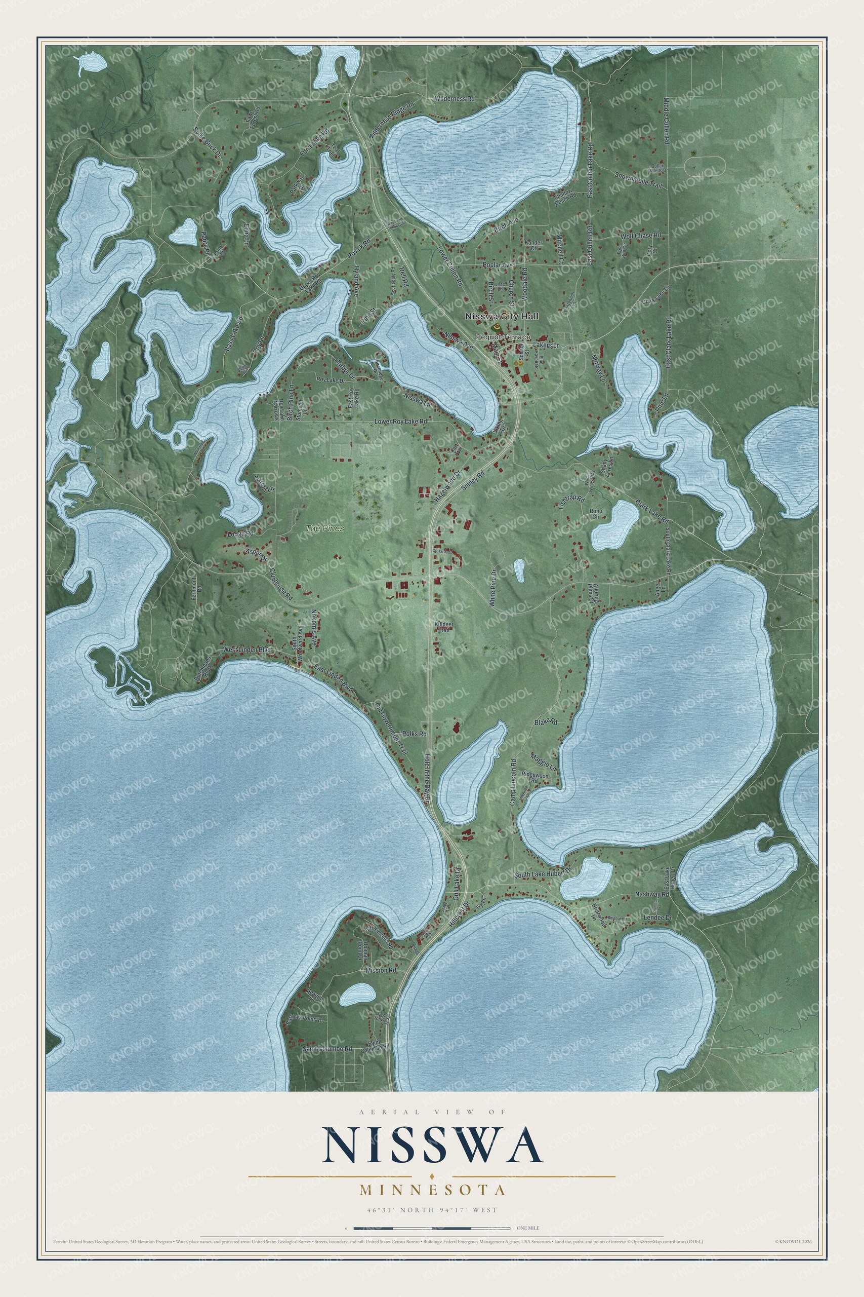
Street and place names on the Nisswa, Minnesota map
These names are printed on the map of Nisswa, Minnesota.
Places: Nisswa City Hall, Pequot Terrace and The Pines.
Streets and roads: Lakers Lane, Harbor Drive, East Clark Lake Road, Saint Columbo Road, Main Street, Hyland Avenue, Smiley Road, Bass Lake Road, Lower Roy Lake Road, Camp Lincoln Road, Lower Cullen Road, Nashway Road.
More street names, A to Z
Alluring Pines Drive, Angel Lane, Aspen Drive, Barrows Point Road, Birch Avenue, Birch Pine Lane, Birchridge Drive, Birch Street, Bishop Drive, Bittersweet Lane, Blake Road, Briarwood Lane, Cattail Lane, Centennial Lane, Church Street, Clark Lake Lane, Clark Lake Road, Clubhouse Road, Cory Court, Cove Trail, Crossroads, Cullen Woods Drive, Dell Road, Dullum Circle, Dutchmans Bluff, East Cullen Lake Road, East Cullen Road, East Lake Hubert Drive, East Linden Boulevard, East Roy Lake Road, Edna Lake Road, Edna Lane, Fawn Forest Road, Fernmont Road, Fishtrap Road, Forest Hills Circle, Free Bird Circle, Gull Lake Drive, Hazelwood Drive, Hillcrest Drive, Hole in the Day Drive, Holman Point Drive, Idlewilde Drive, Ivy Lane, Kander Court, Killdeer Trail, Lendee Drive, Lilac Lane, Lodge Road, Maggie Lane, Middle Cullen Road, Mission Road, Mitchell Court, Nisswa Avenue, Nisswa Lane, Nokomis Avenue, Norway Lane, Old Government Trail, Padre Court, Padre Place, Parkway Drive, Pine Haven Road, Pine Lane, Pine Street, Polks Road, Poplar Avenue, Reuben's Way, Ridgewood Road, Rono Circle, Roy Lake Connection, Roy Lake Drive, Roy Lake Narrows, Roy Lane, Roy Lk Road, School Street, Scottsdale Road, Seagull Lane, Shady Acres Lane, Shady Lane, Shallow Beach Road, Snowmobile Trail, South Clark Lake Road, South Lake Hubert Drive, South Woodward Avenue, Spike Buck Drive, Stumvoll Lane, Sumac Trail, Tall Timbers Road, Teal Trail, Upper Roy Lake Road, Viking Drive, West Linden Boulevard, White Pine Drive, Whitstrom Road, Wilderness Ridge Road, Wilderness Road, Wild Wings Way, Wolf Chase Road, Woodale Road.
See the Nisswa, Minnesota map on a wall
The Nisswa map as an 18 x 24 inch print in a black frame.

This beautifully detailed map of Nisswa makes an attractive addition to your office, library, or den, and it can even be used to teach children the geography and history of the area. It also makes a great gift for anyone who grew up in Nisswa or moved away. When you’re done exploring, click here to get your copy of the Nisswa map.