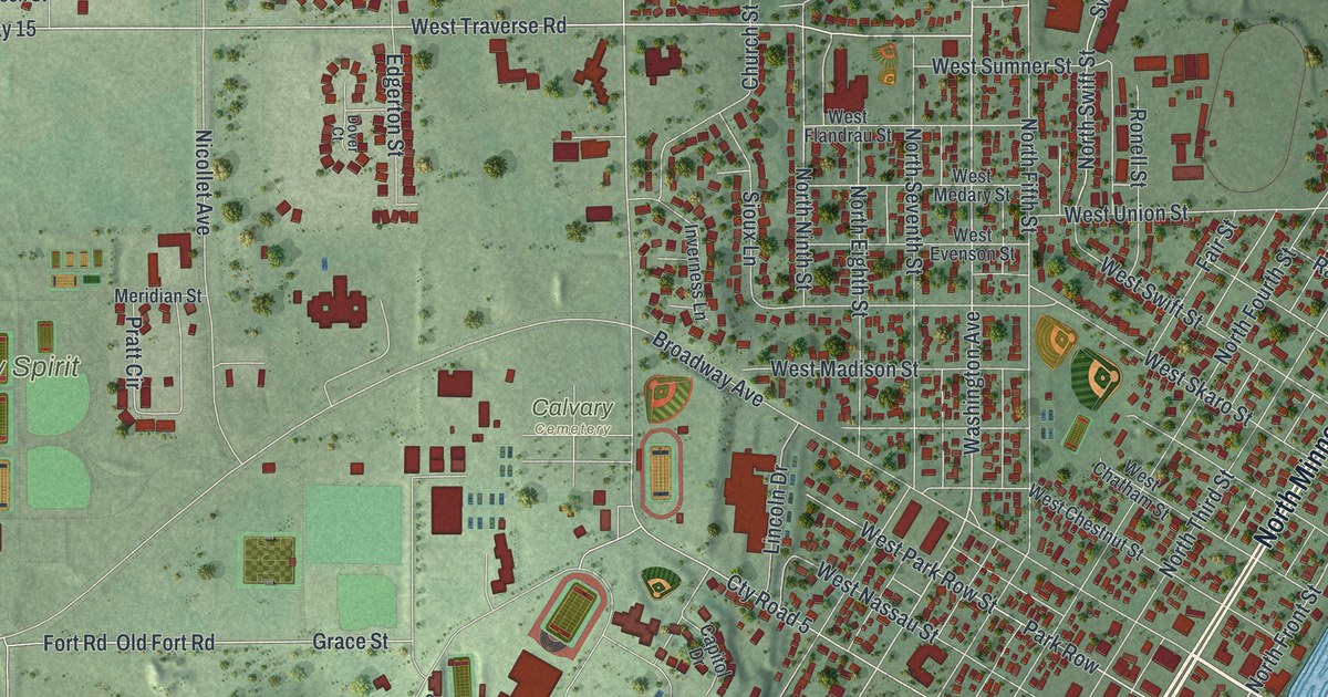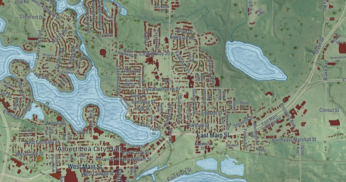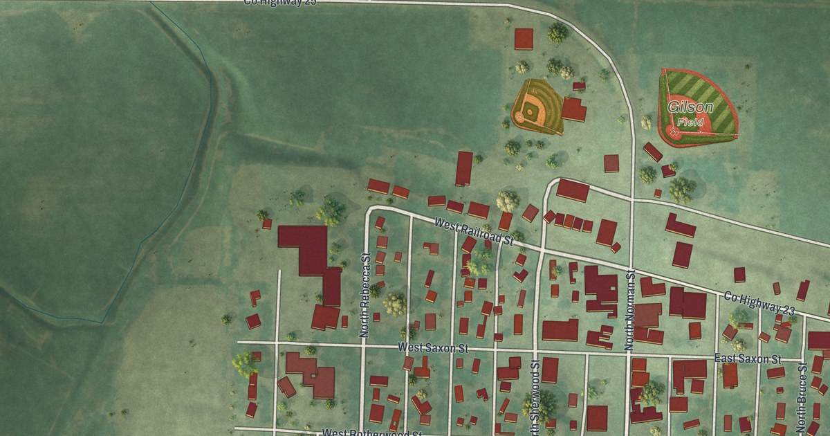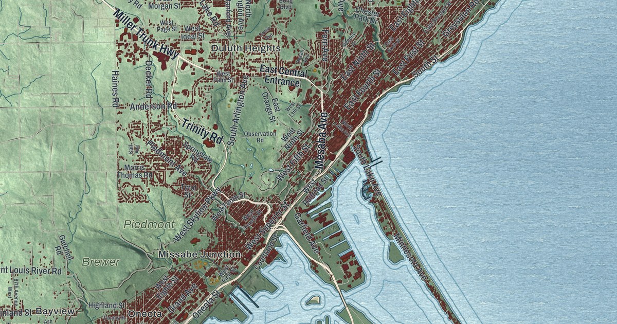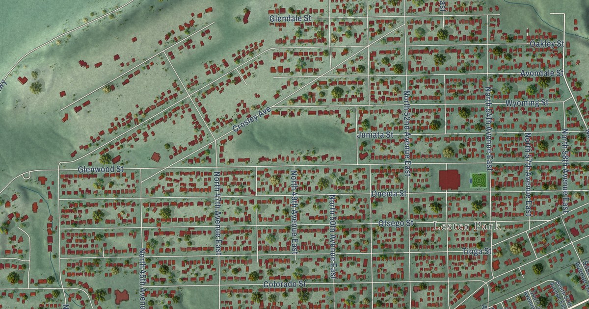
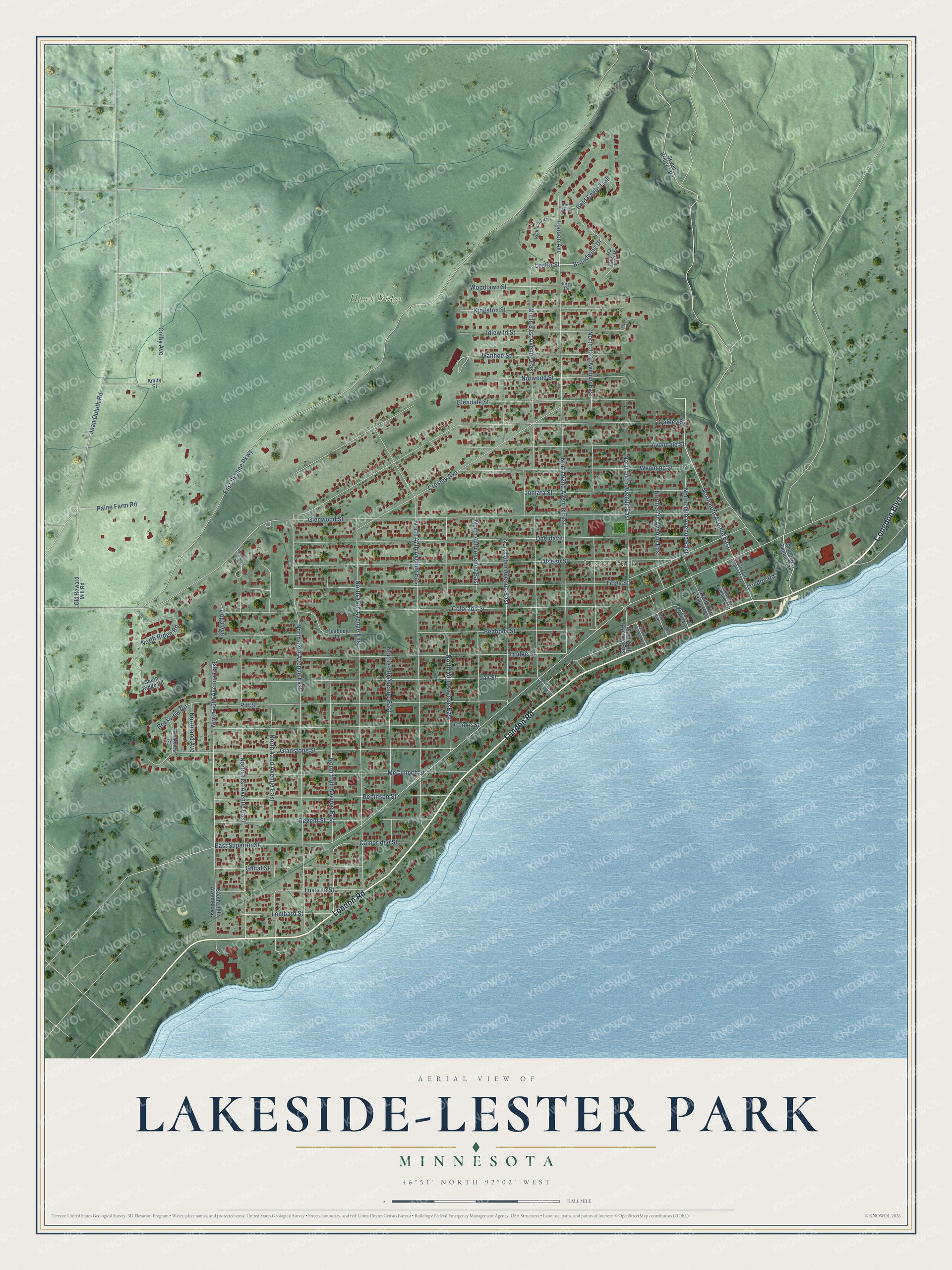
This beautifully detailed map of Lakeside-Lester Park, Minnesota was created in 2026 using aerial imagery combined with modern topographical, census, street and landmark data. It’s a one-of-a-kind view of Lakeside-Lester Park that combines accurate data with a vintage aesthetic. The map shows every building in its true location, many of the roads carry their names, and the shaded topographic relief shows the shape of the land.
Explore an aerial view of Lakeside-Lester Park, Minnesota
On the map you’ll find Lester Park and Hawk Ridge, along with Congdon Boulevard, London Road, Broadwing Drive, Lester Street, North 42nd Avenue East, North 40th Avenue East, North 60th Avenue East, North 44th Avenue East, North 58th Avenue East, East Skyline Parkway, and more. If you look closely you can even find your house accurately drawn in its correct location. Zoom in on the preview to look for yours.
Did You Know?
In 1871 Hugh McCulloch bought land here and platted the future neighborhood. He had served as Treasury Secretary under President Lincoln. The area became the Village of Lakeside in 1889. Duluth annexed it on January 1, 1893.
Take a closer look at the Lakeside-Lester Park map
Names on this map
These names are printed on this map.
Places: Lester Park and Hawk Ridge.
Streets and roads: Congdon Boulevard, London Road, Broadwing Drive, Lester Street, North 42nd Avenue East, North 40th Avenue East, North 60th Avenue East, North 44th Avenue East, North 58th Avenue East, East Skyline Parkway, Glenwood Street, East Superior Street.
More street names, A to Z
Amity Street, Avondale Street, Bald Eagle Trail, Boreal Circle, Cambridge Street, Colby Avenue, Colorado Street, Cooke Street, Covent Place, Crosley Avenue, Dodge Street, Gilliat Street, Gladstone Street, Glendale Street, Idlewild Street, Ivanhoe Street, Jay Street, Jean Duluth Road, Juniata Street, Kingston Street, Lombard Street, London Avenue, Luverne Street, McCulloch Street, Nighthawk Lane, North 41st Avenue East, North 43rd Avenue East, North 45th Avenue East, North 46th Avenue East, North 47th Avenue East, North 48th Avenue East, North 49th Avenue East, North 50th Avenue East, North 51st Avenue East, North 52nd Avenue East, North 53rd Avenue East, North 54th Avenue East, North 57th Avenue East, Northland Avenue, North Ridge Road, Norwood Street, Oakley Street, Old Howard Mill Road, Oneida Street, Otsego Street, Paine Farm Road, Peabody Lane, Peabody Street, Pitt Street, Red Tail Drive, Regent Street, Robinson Street, Rockview Circle, Rockview Court, Seven Bridges Road, Snowy Owl Circle, South 40th Avenue East, South 51st Avenue East, South 54th Avenue East, South 55th Avenue East, South 56th Avenue East, South 57th Avenue East, South 58th Avenue East, South 59th Avenue East, South 60th Avenue East, South 61st Avenue East, South Ridge Road, Tioga Avenue, Tioga Street, Woodcrest Drive, Woodlawn Street, Wyoming Street.
See it on a wall
The Lakeside-Lester Park map as a framed print. Swipe for more.


This beautifully detailed map of Lakeside-Lester Park makes an attractive addition to your office, library, or den, and it can even be used to teach children the geography and history of the area. It also makes a great gift for anyone who grew up in Lakeside-Lester Park or moved away. When you’re done exploring, click here to get your copy of the Lakeside-Lester Park map.