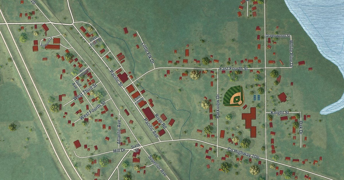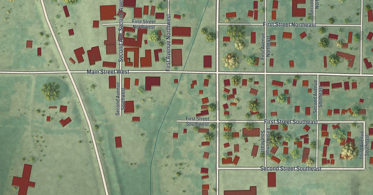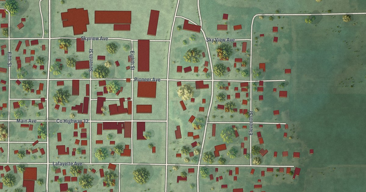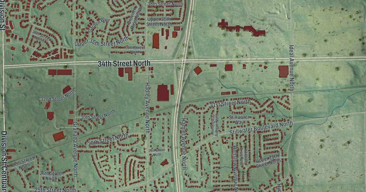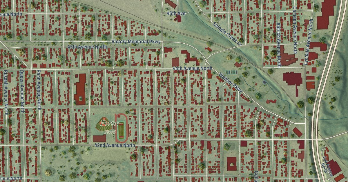
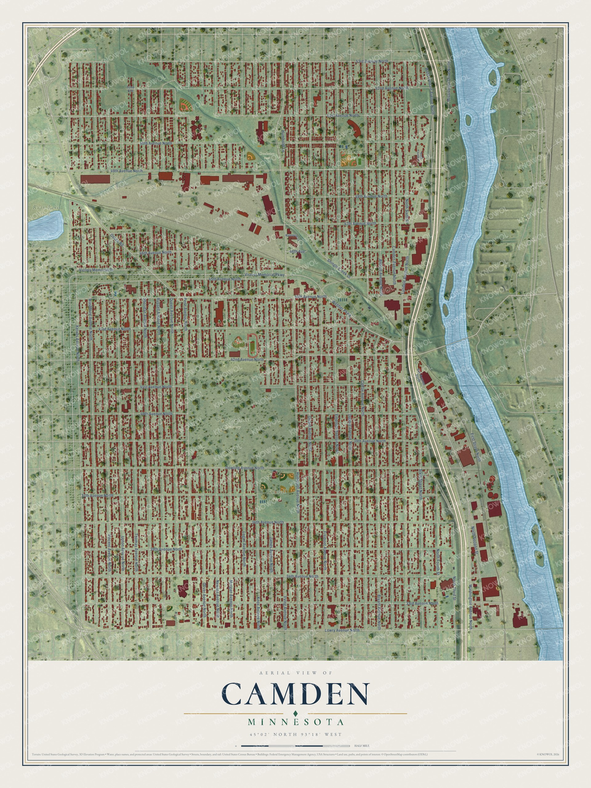
This beautifully detailed map of Camden, Minnesota was created in 2026 using aerial imagery combined with modern topographical, census, street and landmark data. It’s a one-of-a-kind view of Camden that combines accurate data with a vintage aesthetic. The map shows every building in its true location, many of the roads carry their names, and the shaded topographic relief shows the shape of the land.
Explore an aerial view of Camden, Minnesota
On the map you’ll find Creekview Park, Crystal Lake Cemetery, Folwell Park, Porter Field, Ryan Lake Park, and Bohanon Park, along with 42nd Avenue North, 49th Avenue North, Bryant Avenue North, Webber Parkway, 51st Avenue North, Washburn Avenue North, and more. If you look closely you can even find your house accurately drawn in its correct location. Zoom in on the preview to look for yours.
Did You Know?
From the 1872 Collections of the Minnesota Historical Society: "Mayes, a railway village on the line between Camden and Waconia, was named by officers of the Great Northern railway company."
Camden is a place in Hennepin County.
Take a closer look at the Camden map
Names on this map
These names are printed on this map.
Places: Creekview Park, Crystal Lake Cemetery, Folwell Park, Porter Field, Ryan Lake Park and Bohanon Park.
Streets and roads: 42nd Avenue North, 49th Avenue North, Bryant Avenue North, Webber Parkway, 51st Avenue North, Washburn Avenue North, Victory Memorial Parkway, Lowry Avenue North, Xerxes Avenue North, Osseo Road, Upton Avenue North, 53rd Avenue North.
More street names, A to Z
33rd Avenue North, 34th Avenue North, 35th Avenue North, 36th Avenue North, 37th Avenue North, 39th Avenue North, 40th Avenue North, 41st Avenue North, 43rd Avenue North, 44th Avenue North, 45th Avenue North, 46th Avenue, 46th Avenue North, 47th Avenue North, 48th Avenue North, 50th Avenue North, 52nd Avenue, 52nd Avenue North, Aldrich Avenue North, Camden Avenue North, Colfax Avenue North, Dowling Avenue North, Dupont Avenue North, Emerson Avenue North, First Street North, Fremont Avenue North, Girard Avenue North, Humboldt Avenue North, Humboldt Lane, Irving Avenue North, James Avenue North, Knox Avenue North, Logan Avenue North, Lyndale Avenue North, Malmquist Lane, Mississippi Drive North, Morgan Avenue North, Newton Avenue North, North Fourth Court, North Fourth Street, North Second Street, North Sixth Street, North Third Street, Oliver Avenue North, Penn Avenue North, Queen Avenue North, Russell Avenue North, Sheridan Avenue North, Shingle Creek Drive, Sixth Street North, Soo Avenue North, Thomas Avenue North, Victory Memorial Drive, Vincent Avenue North, Washington Avenue North, West Lyndale Avenue North.
See it on a wall
The Camden map as a framed print. Swipe for more.


This beautifully detailed map of Camden makes an attractive addition to your office, library, or den, and it can even be used to teach children the geography and history of the area. It also makes a great gift for someone who left Camden and still calls it home. When you’re done exploring, click here to get your copy of the Camden map.