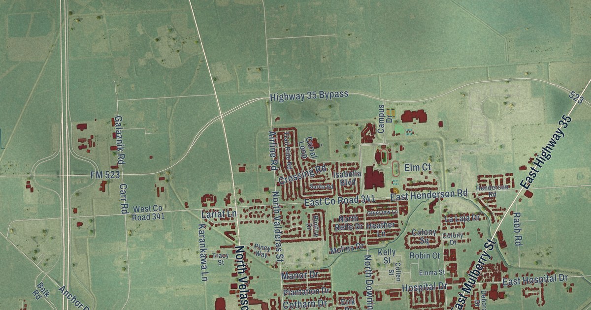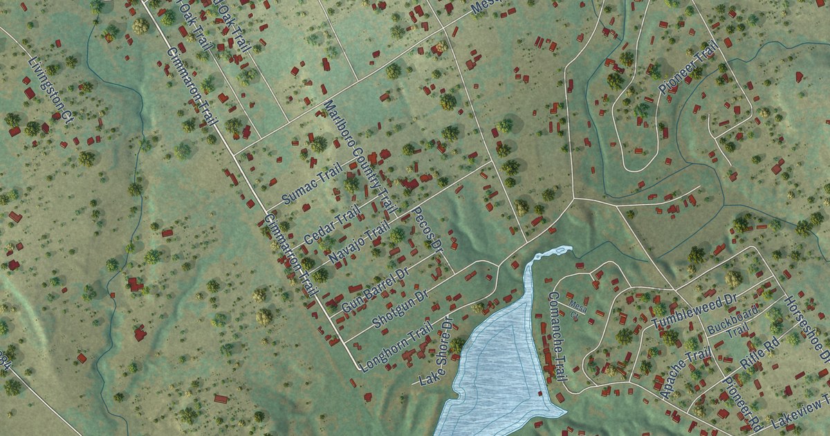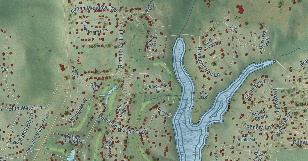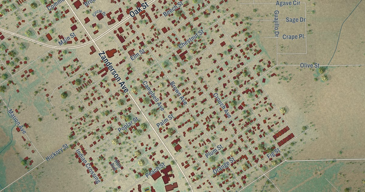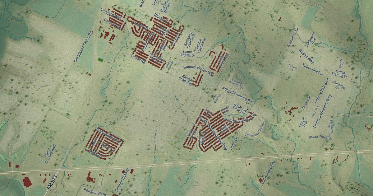
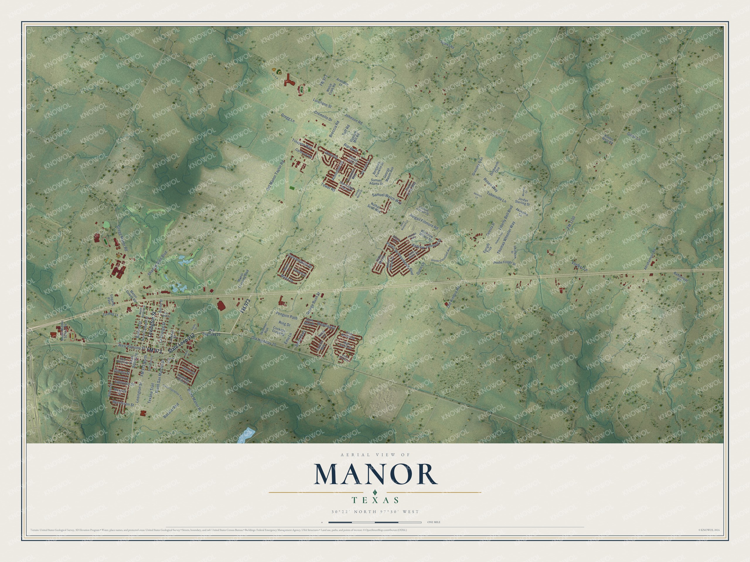
This beautifully detailed map of Manor, Texas was created in 2026 using aerial imagery combined with modern topographical, census, street and landmark data. It’s a one-of-a-kind view of Manor that combines accurate data with a vintage aesthetic. The map shows every building in its true location, many of the roads carry their names, and the shaded topographic relief shows the shape of the land.
Explore an aerial view of Manor, Texas
On the map you’ll find State Loop 212, Lexington Street, FM 973, Blake Manor Road, La Grange Street, Abigail Fillmore Road, Breccia Road, Old Highway 20, Johnson Road, Samuel Welch Way, FM 973 North, FM 1100, and more. If you look closely you can even find your house accurately drawn in its correct location. Zoom in on the preview to look for yours.
Did you know this piece of Manor, Texas history?
From the Handbook of Texas: "A post office called Gregg was established in 1871 but changed its name to Manor the next year in honor of James Manor."
Take a closer look at the Manor map
Street names on the Manor, Texas map
These names are printed on the map of Manor, Texas.
Streets and roads: State Loop 212, Lexington Street, FM 973, Blake Manor Road, La Grange Street, Abigail Fillmore Road, Breccia Road, Old Highway 20, Johnson Road, Samuel Welch Way, FM 973 North, FM 1100.
More street names, A to Z
Abrahamson Road, Akinosho Lane, Almodine Road, Andrew Johnson Drive, Arnhamn Lane, Athens Street, Bacalar Bnd, Ballerstedt Road, Bastrop Street, Bella Parkway, Benjamin Franklin Drive, Burnet Street, Carbrook Road, Carillon Way, Caroline Harrison Street, Celesta Street, Cerro Castellan Trce, Clara Martin, Cockatto Crossing, Constellation Drive, Cremello Drive, Cummins Way, Dimmit Street, Duckworth Trce, East Lane Avenue, Ellary Lane, Emu Lane, Epright Trce, Gallant Street, George Bush Street, George Mason Avenue, George Norris Drive, Giese Lane, Grassley Trail, Gregg Lane, Gregg Manor Road, Grover Cleveland Way, Gunn Lane, Gypsum Mill Road, Hamilton Point Circle, Heinrich Lane, Henry Wallace Lane, Hereford Street, High Sierra Street, Howser Trce, Indian Oak Bend, James Manor Street, Jamie Drive, Jaron Drive, Jessie Road, Jordyn Sterling Street, Joy Lee Lane, Kimbro West Road, Lapoynor Street, Liberty Bell Boulevard, Llano Street, Lockhart Street, Luisitano Street, Manor Crossing Boulevard, Manor Downs Road, Manor Middle School Road, Marie Lane, Marshall Street, Maxa Drive, Moroney Cv, Murchison Street, Nathan Scott Way, Nelson Houser Street, North Bastrop Street, North Caldwell Street, Old Kimbro Road, Old Manor Taylor Road, Paseo de Presidente Boulevard, Penguin Path, Perlange Pass, Phebe Foster Street, Pine Needle Street, Ring Drive, Riprap Drive, Rosen Way, Saint Marydr, Samuel Adams Drive, Shadow Glen Boulevard, Sherri Berry Way, Skimmer Run, Smith Street, Smithwick Street, Snow Lane, South Bastrop Street, South Burnet Street, South San Marcos Street, Sparks Road, Stoneridge Gap Lane, Texana Trail, Thomas Wheeler Way, Tillgang Pass, Timber Arch Lane, Tinajero Way, Tower Road, Tuberville Lane, Tuff Road, Tur Weg Lane, Voelker Lane, Wedding Drive, Welsh Cobb Road, West Burton Street, West Parsons Street, Woodrow Wilson Street.
See the Manor, Texas map on a wall
The Manor map as an 18 x 24 inch print in a black frame.

This beautifully detailed map of Manor makes an attractive addition to your office, library, or den, and it can even be used to teach children the geography and history of the area. It also makes a great gift for someone who left Manor and still calls it home. When you’re done exploring, click here to get your copy of the Manor map.