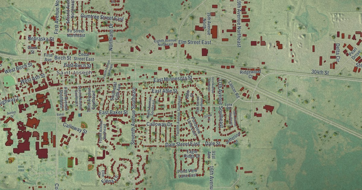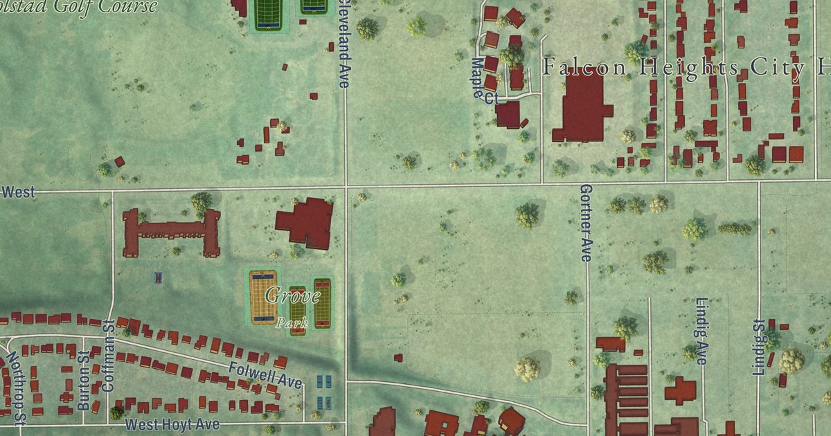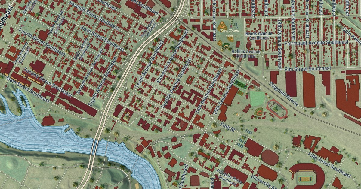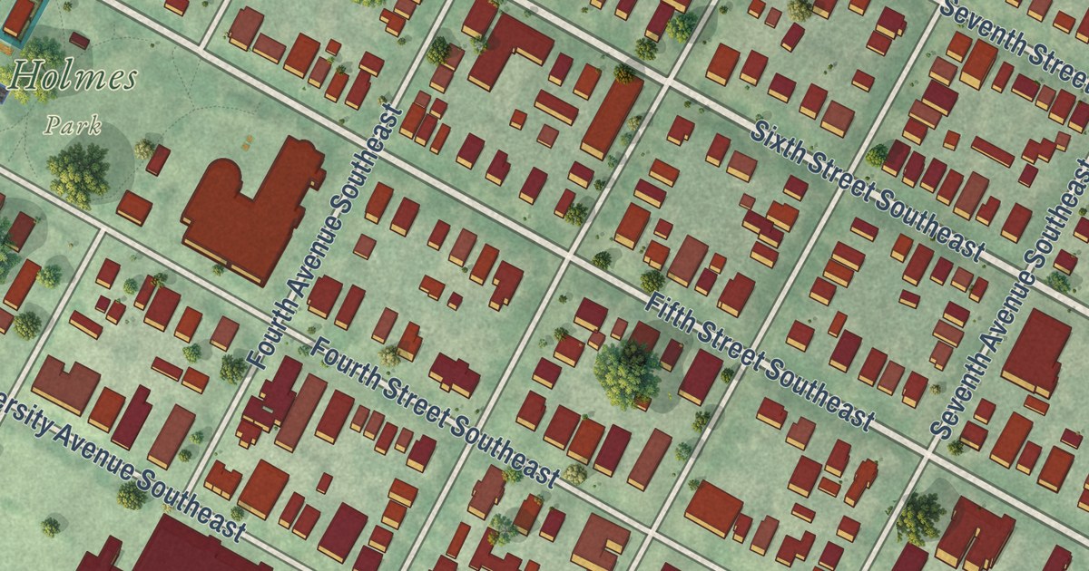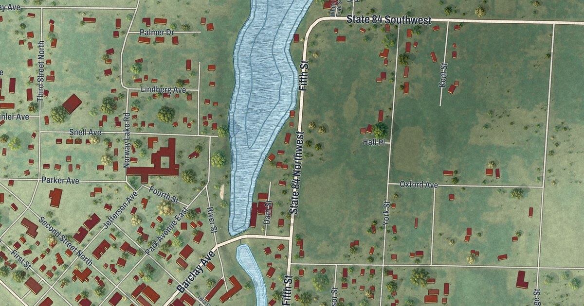
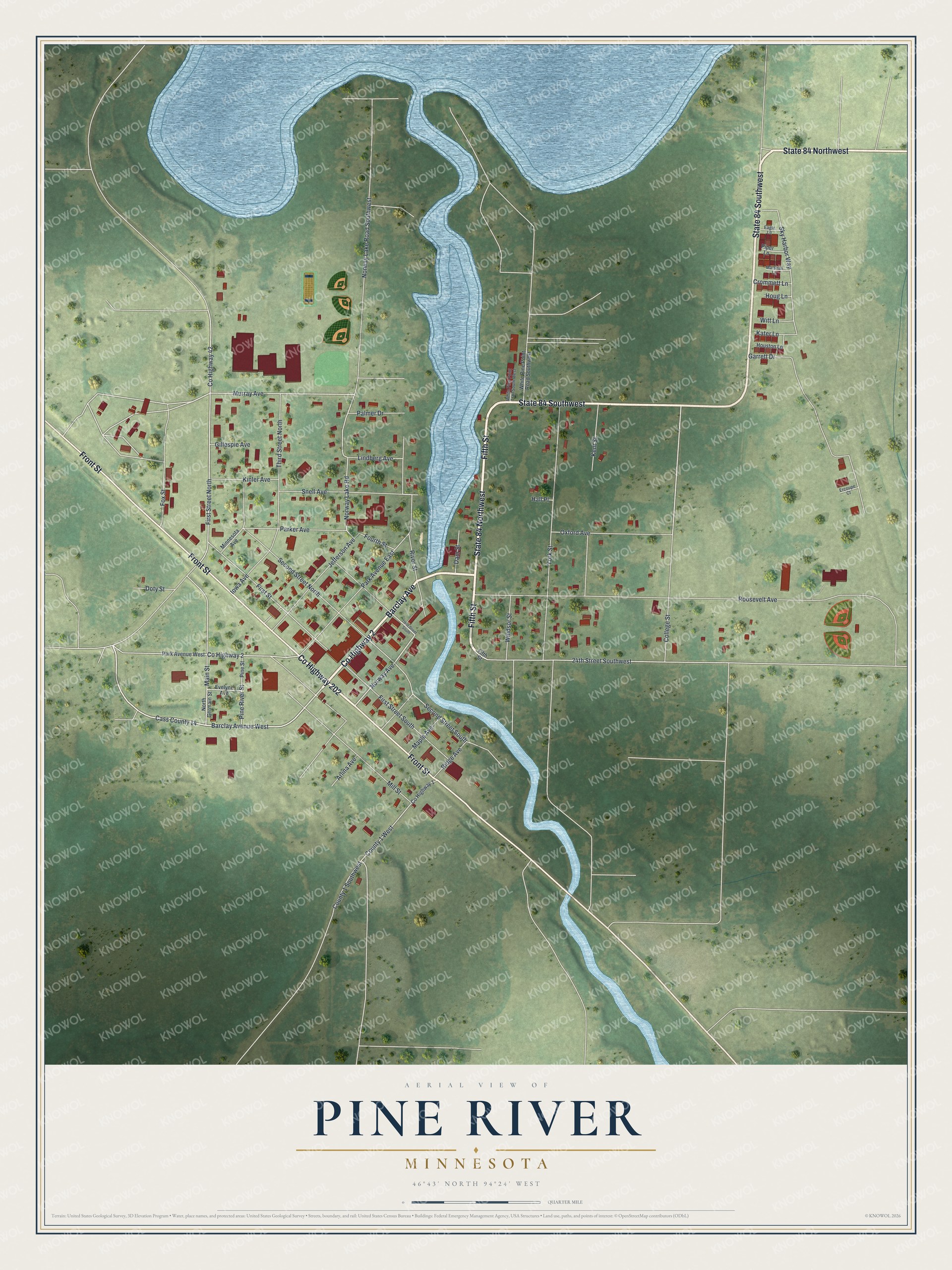
This beautifully detailed map of Pine River, Minnesota was created in 2026 using aerial imagery combined with modern topographical, census, street and landmark data. It’s a one-of-a-kind view of Pine River that combines accurate data with a vintage aesthetic. The map shows every building in its true location, many of the roads carry their names, and the shaded topographic relief shows the shape of the land.
Explore an aerial view of Pine River, Minnesota
On the map you’ll find State 84 Southwest and State 84 Northwest, along with County Highway 2, Fifth Street, County Highway 202, Front Street, Barclay Avenue, Barclay Avenue West, Norway Avenue, Murray Avenue, Norway Lake Road, Main Street, and more. If you look closely you can even find your house accurately drawn in its correct location. Zoom in on the preview to look for yours.
Did you know this piece of Pine River, Minnesota history?
The village of Pine River still relied on candles and kerosene lamps in 1910. That October the council let Hans and Thomas L. Arvig set up a power plant. Local men Charles E. Webber and Harry H. Hill built its earth and concrete dam across Norway Brook in 1911. It supplied power until 1946, then became a park. That’s from MNopedia.
Take a closer look at the Pine River map
Street names on the Pine River, Minnesota map
These names are printed on the map of Pine River, Minnesota.
Streets and roads: County Highway 2, Fifth Street, State 84 Southwest, State 84 Northwest, County Highway 202, Front Street, Barclay Avenue, Barclay Avenue West, Norway Avenue, Murray Avenue, Norway Lake Road, Main Street.
More street names, A to Z
24th Street Southwest, Arlina Avenue, Cass County 14, College Street, County 1 Southwest, County 1 West, County Highway 1, County Highway 42, Crommett Lane, Dam Street, Doty Street, Eagle Lane, Ercoupe Court, Evelyne Avenue, First Street, First Street North, First Street South, Fourth Street, Fox Street, Garrett Drive, Gillespie Avenue, Hall Place, Houg Lane, Houston Lane, Iowa Avenue, Jefferson Avenue, Kater Lane, Kent Street, Kinler Avenue, Lindberg Avenue, Maple Avenue, Marshall Lane, Mill Street, Minnesota Avenue, North Germain Street, Norway Lake Road Southwest, Oxford Avenue, Palmer Drive, Park Avenue East, Park Avenue West, Parker Avenue, Pine River Street, Pine Street, Piper Lane, Ridge Avenue, River Street, Roosevelt Avenue, Second Street North, Second Street South, Sky Harbor Way, Snell Avenue, Third Street North, Third Street South, White Pine Point Road Southwest, White Pine Point Trail South West, Windsor Street, Witt Lane, York Street.
See the Pine River, Minnesota map on a wall
The Pine River map as an 18 x 24 inch print in a black frame.

This beautifully detailed map of Pine River makes an attractive addition to your office, library, or den, and it can even be used to teach children the geography and history of the area. It also makes a great gift for someone who left Pine River and still calls it home. When you’re done exploring, click here to get your copy of the Pine River map.