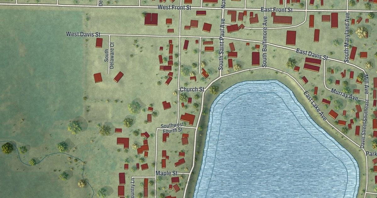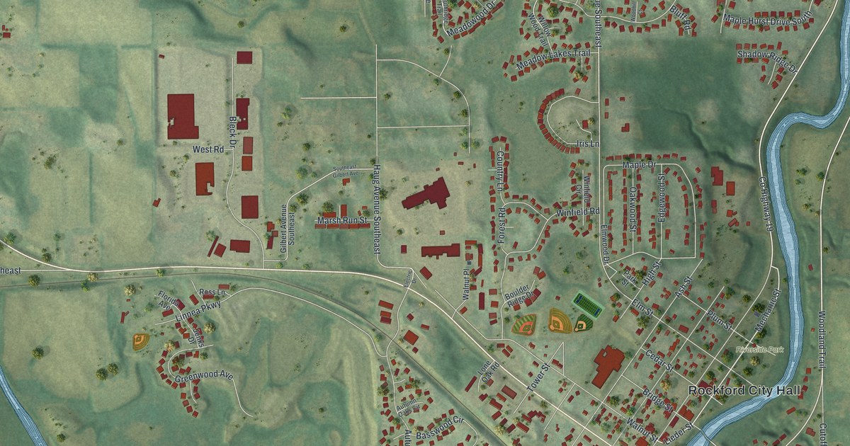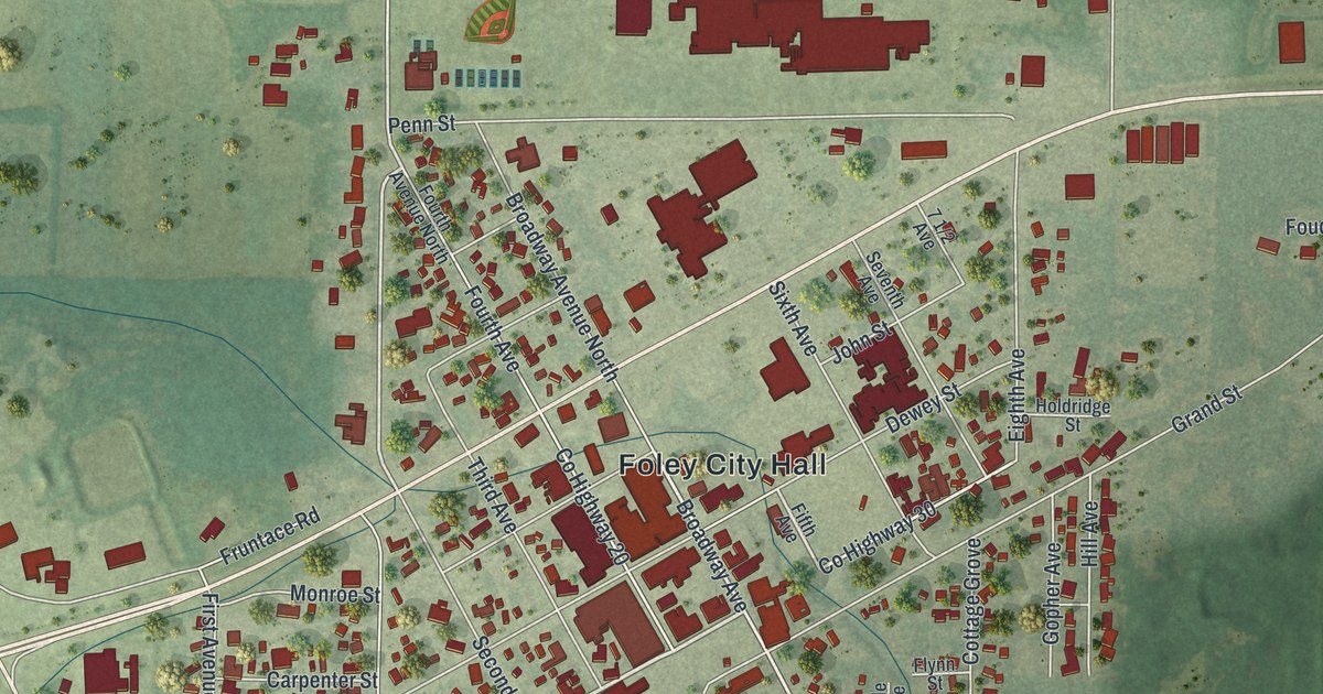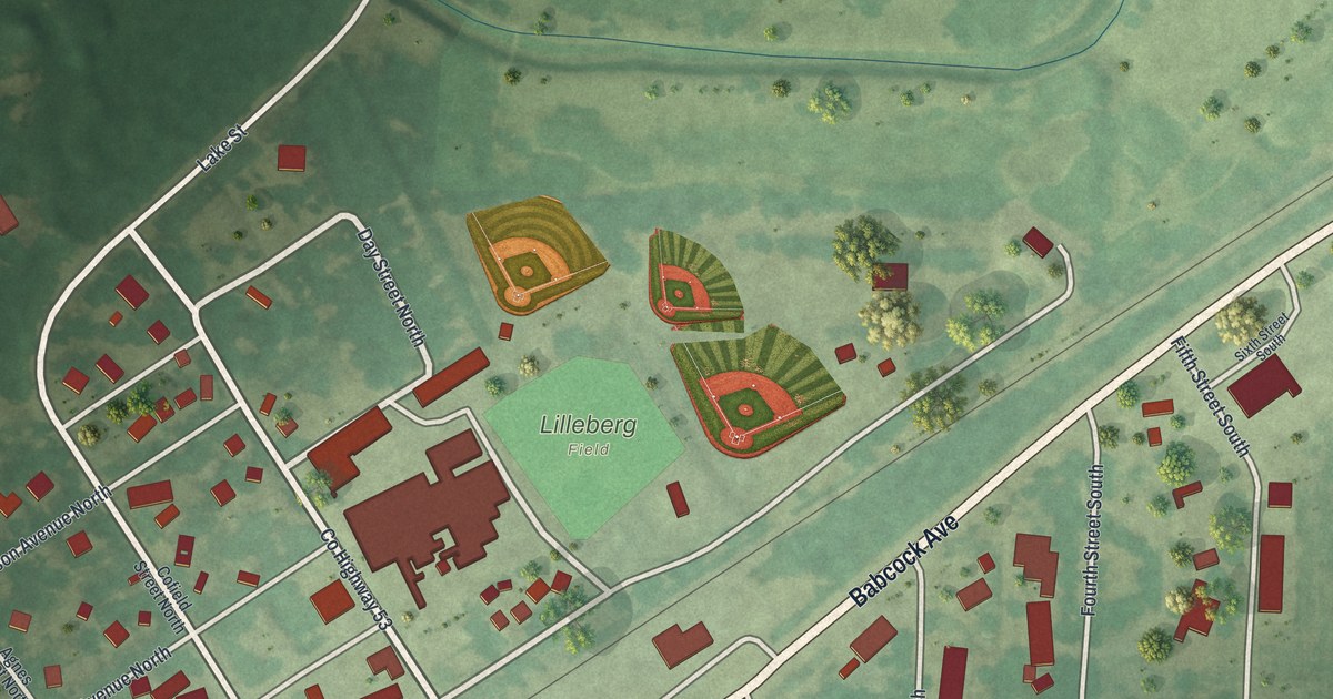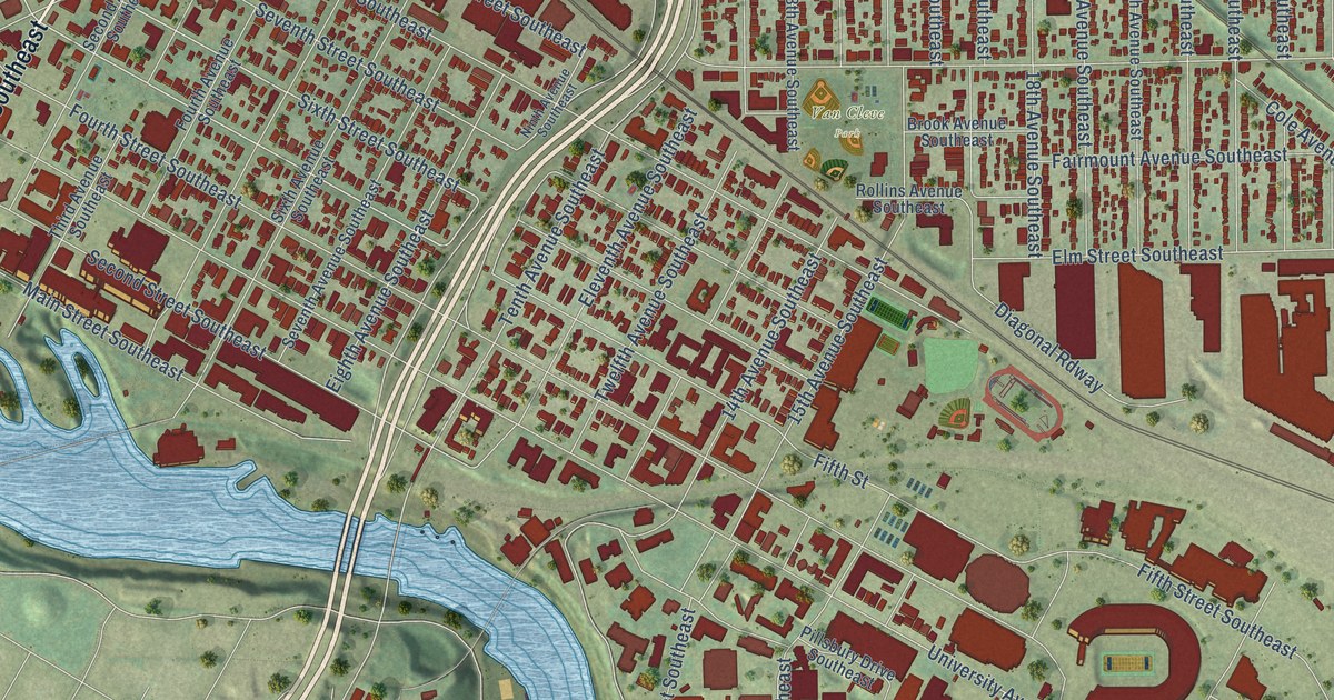
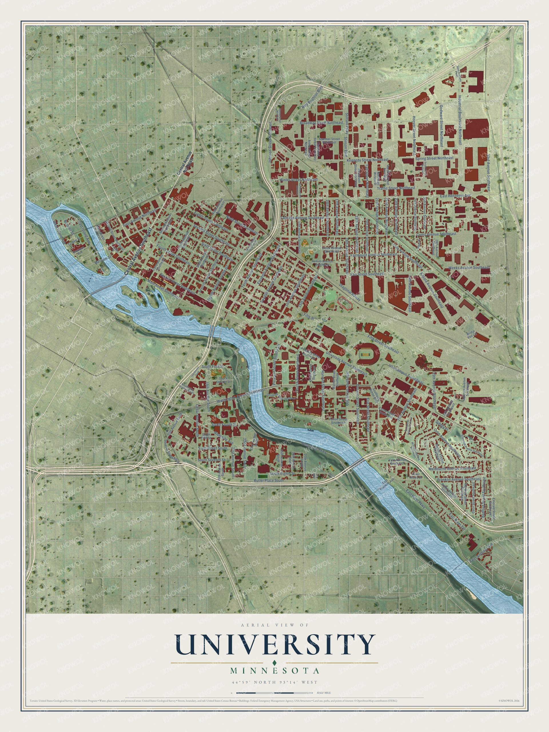
This beautifully detailed map of University, Minnesota was created in 2026 using aerial imagery combined with modern topographical, census, street and landmark data. It’s a one-of-a-kind view of University that combines accurate data with a vintage aesthetic. The map shows every building in its true location, many of the roads carry their names, and the shaded topographic relief shows the shape of the land.
Explore an aerial view of University, Minnesota
On the map you’ll find Van Cleve Park, along with Central Avenue Southeast, Sixth Street Southeast, Washington Avenue Southeast, Fifth Street Southeast, Johnson Street Northeast, Broadway Street Northeast, Tenth Avenue Southeast, West River Parkway, Seventh Street Southeast, West Island Avenue, 22nd Avenue South, and more. If you look closely you can even find your house accurately drawn in its correct location. Zoom in on the preview to look for yours.
Did You Know?
From the 1872 Collections of the Minnesota Historical Society: "Upon returning to this country he established a large practice in Minneapolis, and became a professor in the medical department of the University of Minnesota."
University is a place in Hennepin County.
Take a closer look at the University map
Names on this map
These names are printed on this map.
Places: Van Cleve Park.
Streets and roads: Central Avenue Southeast, Sixth Street Southeast, Washington Avenue Southeast, Fifth Street Southeast, Johnson Street Northeast, Broadway Street Northeast, Tenth Avenue Southeast, West River Parkway, Seventh Street Southeast, West Island Avenue, 22nd Avenue South, South Fourth Street.
More street names, A to Z
13th Avenue Southeast, 14th Avenue South, 14th Avenue Southeast, 15th Avenue South, 15th Avenue Southeast, 16th Avenue Southeast, 17th Avenue Southeast, 18th Avenue Southeast, 19th Avenue South, 19th Avenue Southeast, 20th Avenue South, 20th Avenue Southeast, 21st Avenue South, 21st Avenue Southeast, 22nd Avenue Southeast, 23rd Avenue South, 23rd Avenue Southeast, 24th Avenue Southeast, 25th Avenue South, 25th Avenue Southeast, 26th Avenue South, 26th Avenue Southeast, 27th Avenue South, 27th Avenue Southeast, 28th Avenue, 28th Avenue Southeast, 29th Avenue Southeast, 30th Avenue Southeast, 33rd Avenue Southeast, Arthur Avenue Southeast, Arthur Street Northeast, Barton Avenue Southeast, Bedford Street Southeast, Bridal Veil Circle, Brook Avenue Southeast, Butler Place South, Cecil Street Southeast, Cedar Avenue South, Central Avenue Northeast, Church Street Southeast, Clarence Avenue Southeast, Cleveland Street Northeast, Cole Avenue Southeast, Como Avenue Southeast, Delano Street Northeast, Delaware Street Southeast, Diagonal Rdway, East Franklin Avenue, East Hennepin Avenue, East Island Avenue, Eastman Avenue, East River Parkway, East River Terrace, Eighth Avenue Southeast, Eighth Street Southeast, Eleventh Avenue Southeast, Elm Street Southeast, Emerald Street Southeast, Erie Street Southeast, Essex Street Southeast, Fairmount Avenue Southeast, Fifth Avenue Southeast, Fifth Street, First Avenue Northeast, Fourth Avenue Southeast, Fourth Street Southeast, Franklin Avenue Southeast, Franklin Terrace, Fulton Street Southeast, Garfield Street Northeast, Godward Street Northeast, Grove Street, Harding Street Northeast, Harvard Street Southeast, Hoover Street Northeast, Industrial Boulevard Northeast, Intercampus Transitway, Kasota Avenue Southeast, Kennedy Street Northeast, Lourdes Place, Main Street Northeast, Main Street Southeast, Malcolm Avenue Southeast, Melbourne Avenue Southeast, Merriam Street, New Brighton Boulevard, Nicollet Street, Ninth Avenue Southeast, Ninth Street Southeast, Northeast Wilson Street, Oak Street Southeast, Ontario Street Southeast, Orlin Avenue Southeast, Paul Place, Pillsbury Drive Southeast, Pleasant Street Southeast, Power Street, River Mews Court, Riverside Avenue, Rollins Avenue Southeast, Roosevelt Street Northeast, Saint Anthony Avenue, Saint Anthony Parkway, Saint Marys Avenue Southeast, Second Avenue Southeast, Second Street Northeast, Second Street Southeast, Seventh Avenue Southeast, Seventh Street South, Sidney Place, Sixth Avenue Southeast, Sixth Street South, Southeast Huron Boulevard, South Eighth Street, South Fifth Street, South First Street, South Second Street, South Seventh Street, Spring Street Northeast, Stinson Boulevard, Stinson Parkway, Summer Street Northeast, Taft Street Northeast, Talmage Avenue Southeast, Third Avenue Southeast, Traffic Street Northeast, Twelfth Avenue Southeast, Ulysses Street Northeast, Union Street Southeast, University Avenue Southeast, Walnut Street Southeast, Warwick Street Southeast, Washington Avenue South, Weeks Avenue Southeast, Williams Avenue Southeast, Winter Street Northeast, Yale Avenue Southeast.
See it on a wall
The University map as a framed print. Swipe for more.


This beautifully detailed map of University makes an attractive addition to your office, library, or den, and it can even be used to teach children the geography and history of the area. It also makes a great gift for someone who left University and still calls it home. When you’re done exploring, click here to get your copy of the University map.