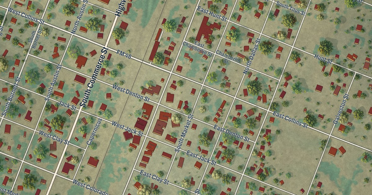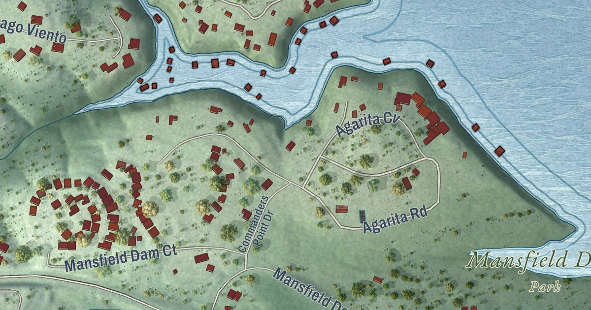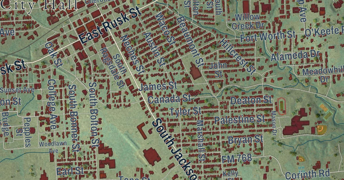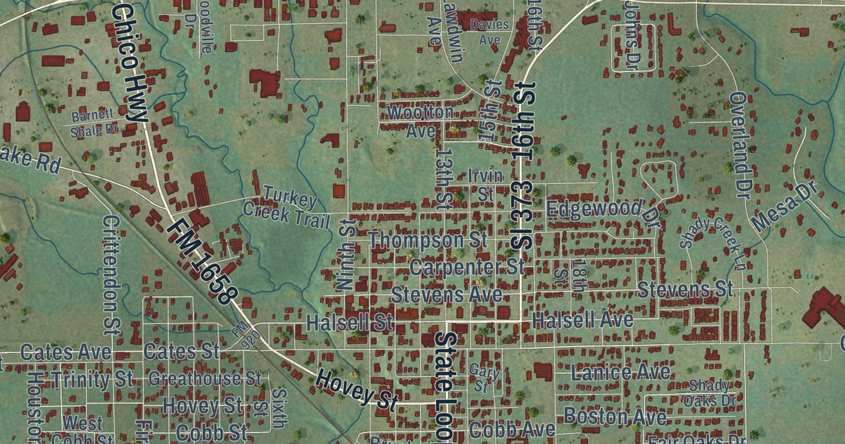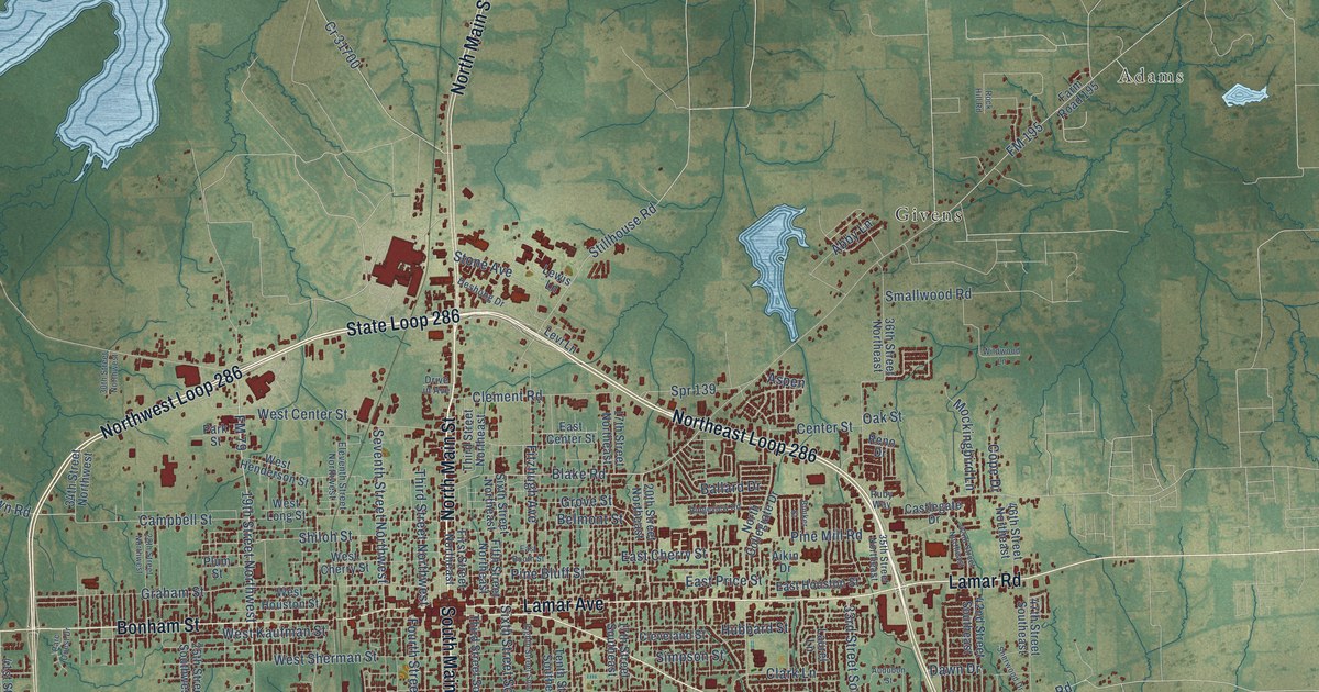
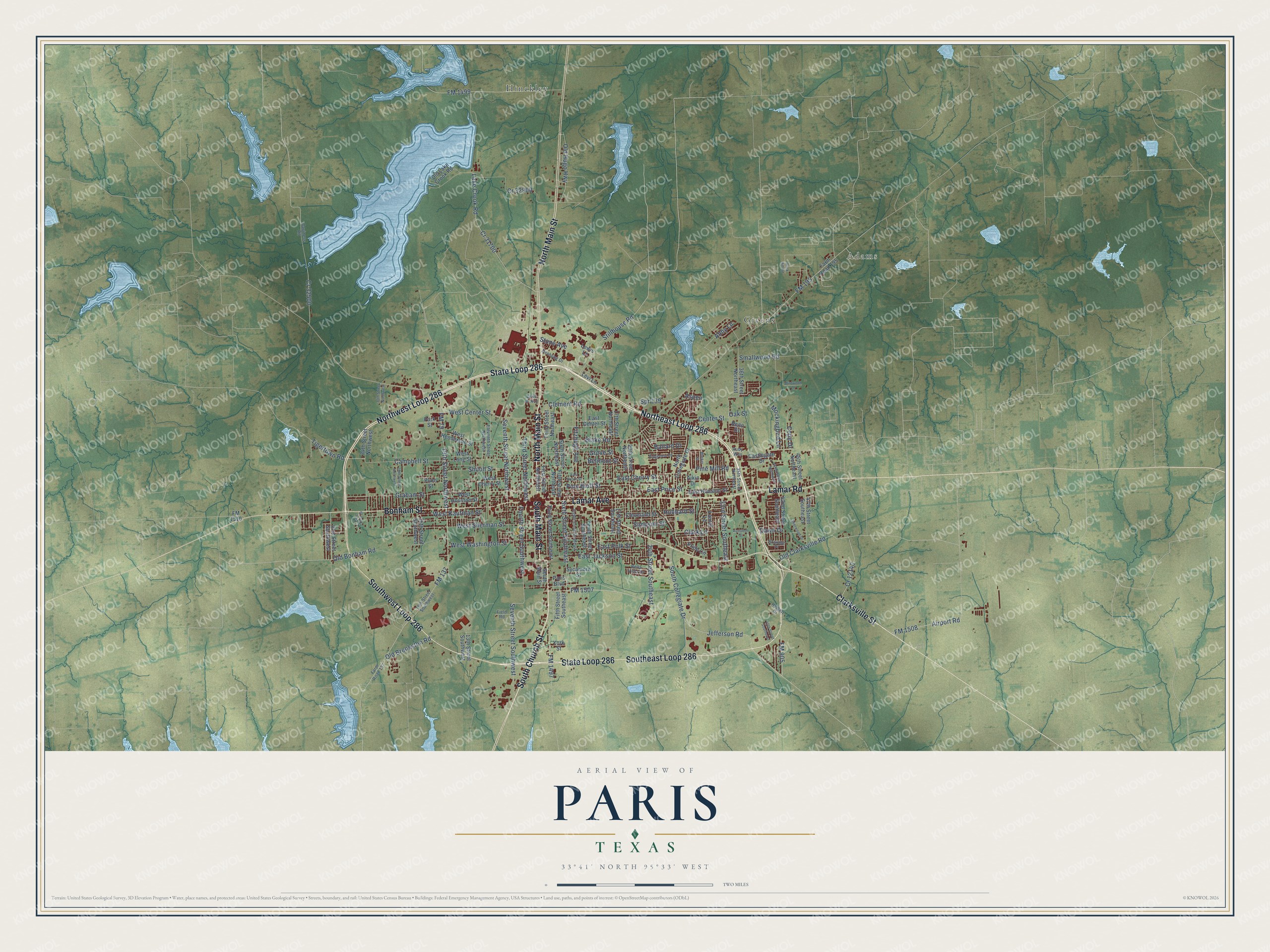
This beautifully detailed map of Paris, Texas was created in 2026 using aerial imagery combined with modern topographical, census, street and landmark data. It’s a one-of-a-kind view of Paris that combines accurate data with a vintage aesthetic. The map shows every building in its true location, many of the roads carry their names, and the shaded topographic relief shows the shape of the land.
Explore an aerial view of Paris, Texas
On the map you’ll find Adams, Givens, Hinckley, Northwest Loop 286, Southwest Loop 286, Northeast Loop 286, and Southeast Loop 286, along with North Main Street, South Church Street, South Main Street, State Loop 286, Lamar Avenue, and more. If you look closely you can even find your house accurately drawn in its correct location. Zoom in on the preview to look for yours.
Did you know this piece of Paris, Texas history?
From the Handbook of Texas: "On April 2, 1982, Paris was hit by a tornado that destroyed more than 1,500 homes and left eight dead and 3,000 homeless."
Take a closer look at the Paris map
Street and place names on the Paris, Texas map
These names are printed on the map of Paris, Texas.
Places: Adams, Givens and Hinckley.
Streets and roads: Northwest Loop 286, North Main Street, Southwest Loop 286, South Church Street, South Main Street, Northeast Loop 286, State Loop 286, Lamar Avenue, Southeast Loop 286, Clarksville Street, Bonham Street, Lamar Road.
More street names, A to Z
13th Street Southwest, 17th Street Northeast, 17th Street Southeast, 19th Street Northwest, 19th Street Southwest, 20th Street Northeast, 24th Street Southeast, 25th Street Southwest, 28th Street Northwest, 30th Street Northwest, 33rd Street Southeast, 34th Street Northwest, 35th Street Northeast, 36th Street Northeast, 40th Street Southeast, 41st Street Southwest, 42nd Street Northeast, 42nd Street Southeast, 46th Street Northeast, 47th Street Southeast, Abby Lane, Aikin Drive, Airport Road, Aspen, Audubon Street, Ballard Drive, Bella Vista Drive, Belmont Street, Blake Road, Brandyn Place, Bunker Street, Campbell Street, Castlegate Drive, Caviness Road, Center Street, Clark Lane, Clement Road, Cleveland Street, Cope Drive, Cr 12140, Cr 31700, Cr 32500, Cr 32900, Dawn Drive, Deshong Drive, Drive in Avenue, East Booth Street, East Center Street, East Cherry Street, East Houston Street, East Jackson Street, East Polk Street, East Price Street, Eighth Street Southeast, Eleventh Street Northwest, Farm Road 137, Farm Road 195, Field Road, Fifth Street Northeast, Fifth Street Southeast, First Street Northeast, Fitzhugh Avenue, FM 79, FM 137, FM 195, FM 905, FM 1497, FM 1499, FM 1507, FM 1508, FM 1510, Fourth Street Southwest, Graham Street, Grove Street, Helbert Drive, Hubbard Street, Jefferson Road, Lake Crook Road, Laurel Lane, Levi Lane, Lewis Lane, Mockingbird Lane, North Collegiate Drive, Oak Street, Old Bonham Road, Old Brookston Road, Old Clarksville Road, Old Hugo Highway, Old Lake Crook Road, Parc Ouest Drive, Paris Boulevard, Park Street, Pine Bluff Street, Pine Mill Road, Plum Street, Pride Circle, Reno Drive, Ridgeview Road, Rock Hill Road, Ruby Way, Seventh Street Northwest, Seventh Street Southwest, Sherwood Drive, Shiloh Street, Simpson Street, Sixth Street Northeast, Sixth Street Southeast, Smallwood Road, South Collegiate Drive, Spr 139, Stillhouse Road, Stone Avenue, Sycamore Street, Tenth Street Southeast, Third Street Northeast, Third Street Northwest, Third Street Southeast, Tigertown Road, West Center Street, West Cherry Street, West Henderson Street, West Houston Street, West Kaufman Street, West Long Street, West Sherman Street, West Washington Street, Wildwood Lane, York Street.
See the Paris, Texas map on a wall
The Paris map as an 18 x 24 inch print in a black frame.

This beautifully detailed map of Paris makes an attractive addition to your office, library, or den, and it can even be used to teach children the geography and history of the area. It also makes a great gift for anyone with Paris roots. When you’re done exploring, click here to get your copy of the Paris map.