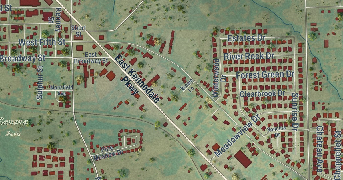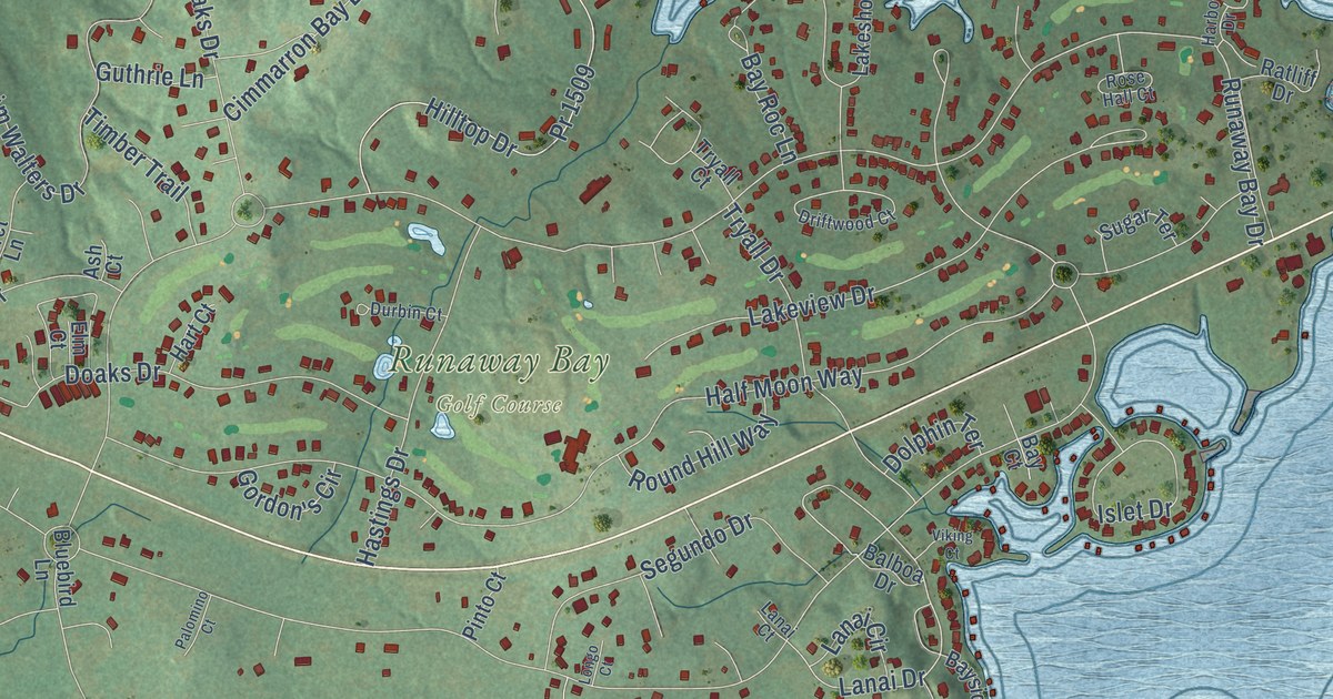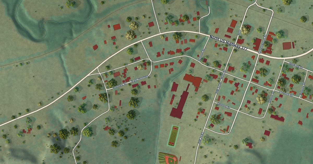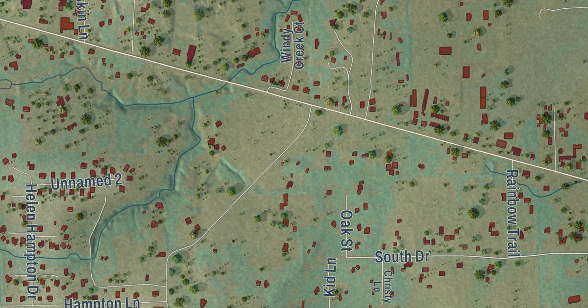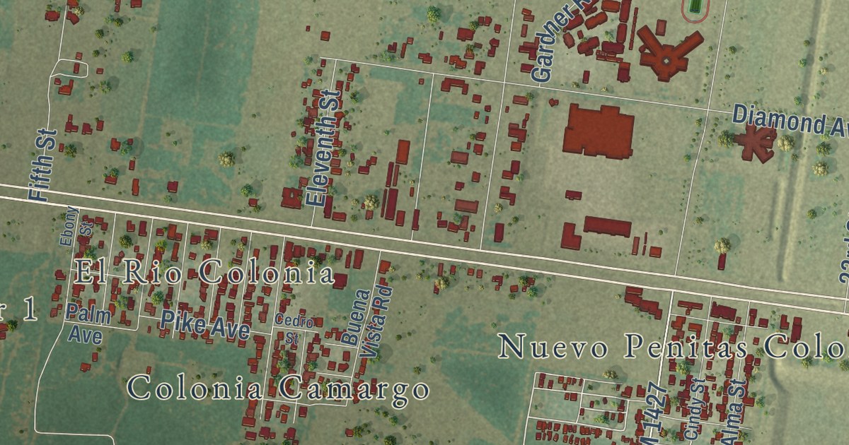
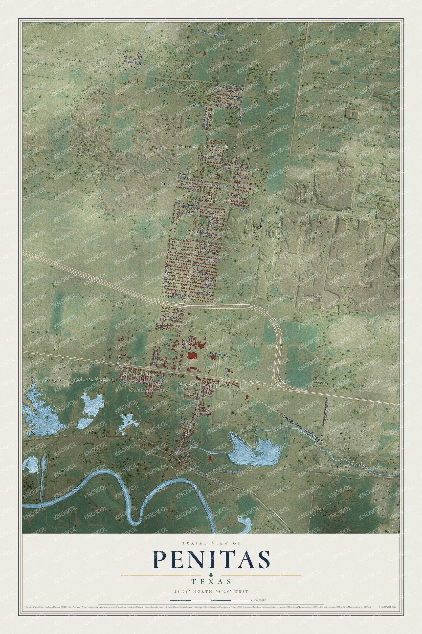
This beautifully detailed map of Penitas, Texas was created in 2026 using aerial imagery combined with modern topographical, census, street and landmark data. It’s a one-of-a-kind view of Penitas that combines accurate data with a vintage aesthetic. The map shows every building in its true location, many of the roads carry their names, and the shaded topographic relief shows the shape of the land.
Explore an aerial view of Penitas, Texas
On the map you’ll find King Ranch Colonia Number 1, Puerta Blanca Colonia, El Rio Colonia, Colonia Camargo, Colonia Martinez, Daniel Ozuna Colonia, Nuevo Penitas Colonia, Ramona Colonia, and Reina Colonia, along with West Business Highway 83, Penitas Street, South Main Street, and more. If you look closely you can even find your house accurately drawn in its correct location. Zoom in on the preview to look for yours.
Did you know this piece of Penitas, Texas history?
From the Handbook of Texas: "A second colonia by the name of Nuevo Peñitas was established by 1986, when it had a population of 225 and fifty dwellings."
Take a closer look at the Penitas map
Street and place names on the Penitas, Texas map
These names are printed on the map of Penitas, Texas.
Places: King Ranch Colonia Number 1, Puerta Blanca Colonia, El Rio Colonia, Nuevo Penitas Colonia, Ramona Colonia, Daniel Ozuna Colonia, Colonia Camargo and Reina Colonia.
Streets and roads: West Business Highway 83, FM 1427, Penitas Street, Tom Gill Road, Liberty Boulevard, Military Road, Mile 4 Road, Volcano Avenue, Mile 3 Road, North Eleventh Street, Diamond Avenue, Volcano Road.
More street names, A to Z
2 Mile Road, 18th Street, 19th Street, 23rd Street, Alma Street, Arboledas Drive, Ash Street, Austen Street, Birch Street, Blue Bird Avenue, Blue Jay Avenue, Buena Vista Road, Cedro Street, Chihuahua Road, Cindy Street, Circle 6 West, Desperado Circle Drive, Dogwood Avenue, Ebony Avenue, Ebony Street, Eleventh Street, Fifth Street, Fir Avenue, Follow Lane, Gardenia Street, Gardner Road, Granite Drive, Ignite Street, Jade Street, La Fuente Drive, La Plaza Circle, La Plaza Drive, Liberty, Marble Street, Mile 5 Road, Nugget Street, Opal Street, Otte Road, Palm Avenue, Penitas Park Avenue, Pike Avenue, Pino Street, Platinum Street, Quail Avenue, Quartz Street, Rancho Brazil Road, Rodriguez Street, Ruby Street, Salinas Road, Sapphire Street, South Main, South Main Street, Uranium Avenue, Vela Drive, Western View Road, Whiterock Street, Zamora Street.
See the Penitas, Texas map on a wall
The Penitas map as an 18 x 24 inch print in a black frame.

This beautifully detailed map of Penitas makes an attractive addition to your office, library, or den, and it can even be used to teach children the geography and history of the area. It also makes a great gift for someone who left Penitas and still calls it home. When you’re done exploring, click here to get your copy of the Penitas map.