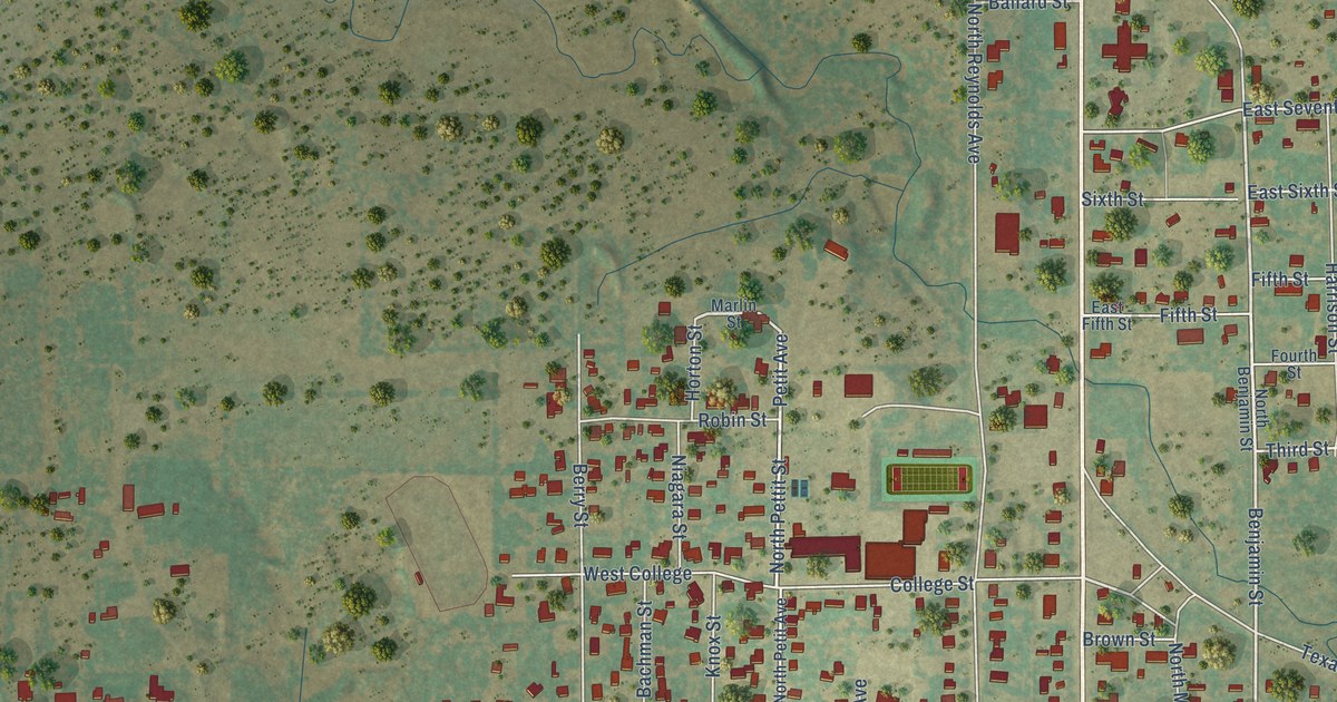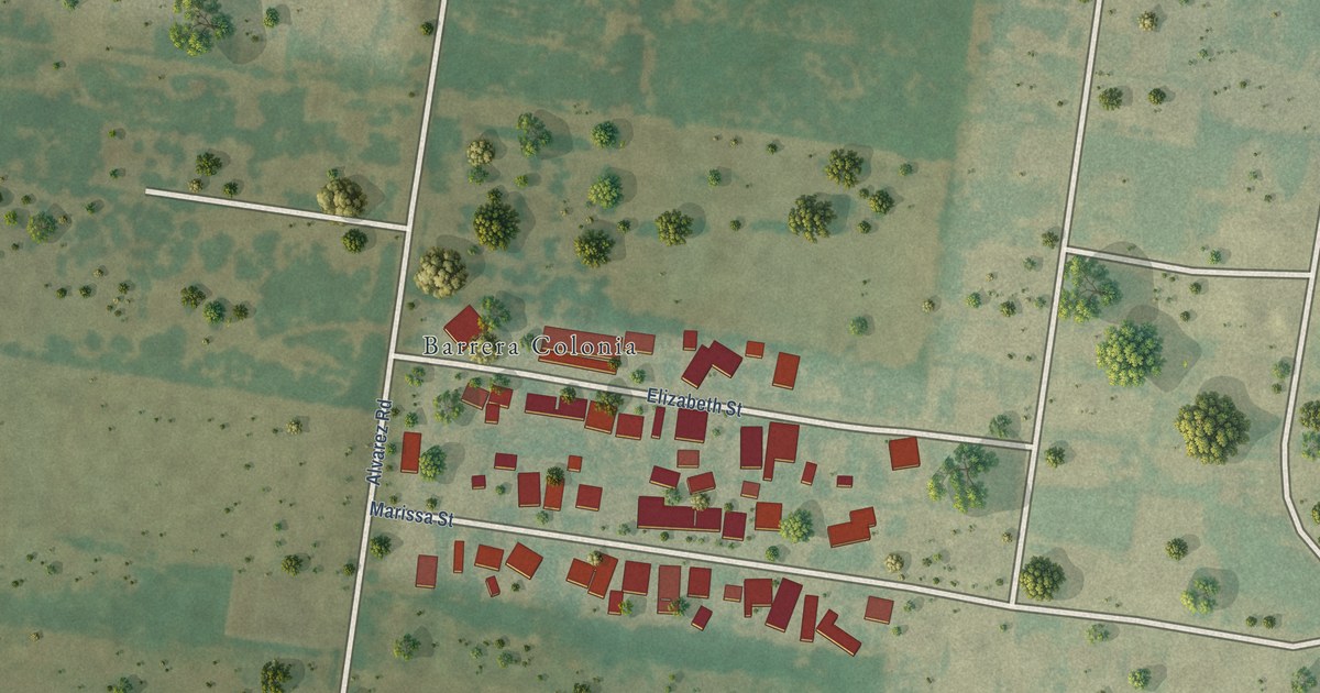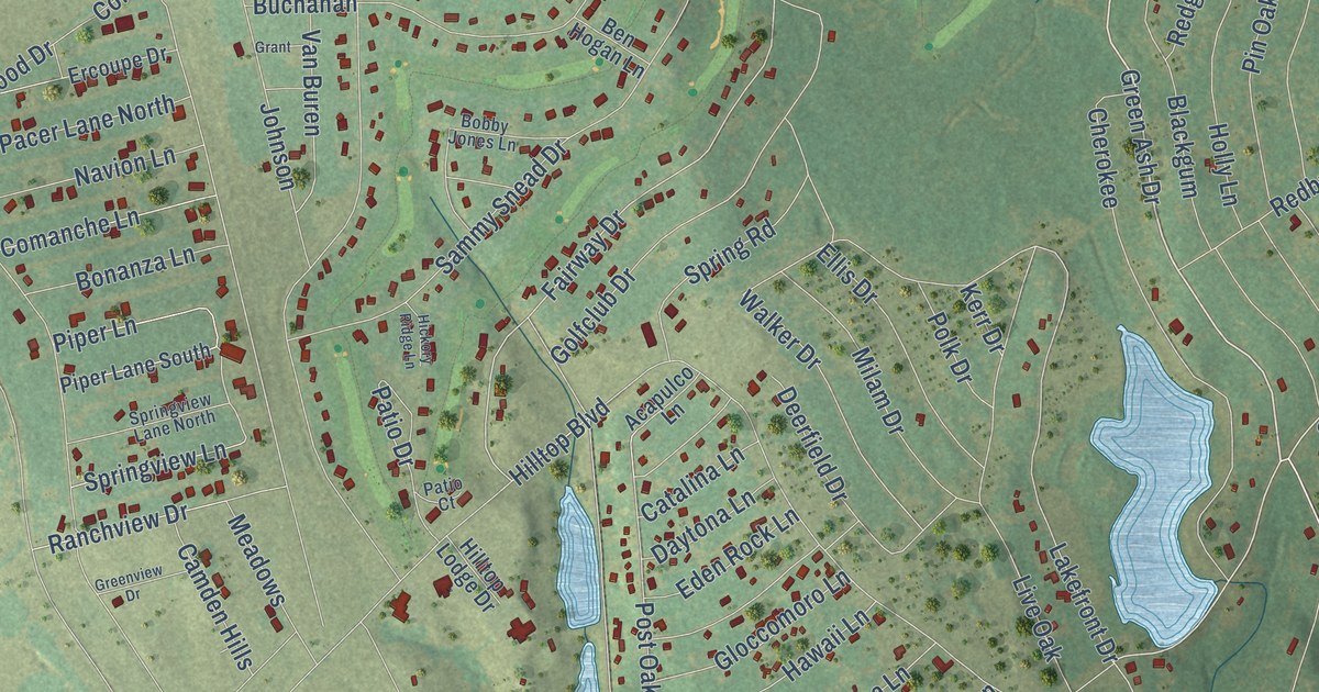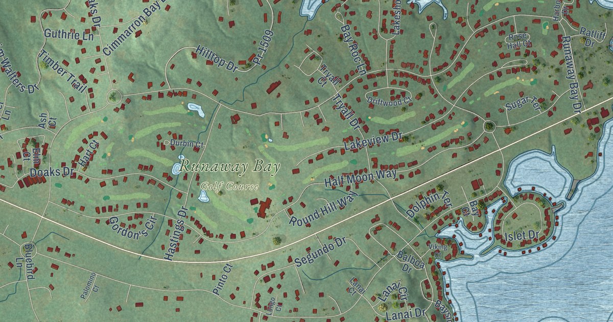
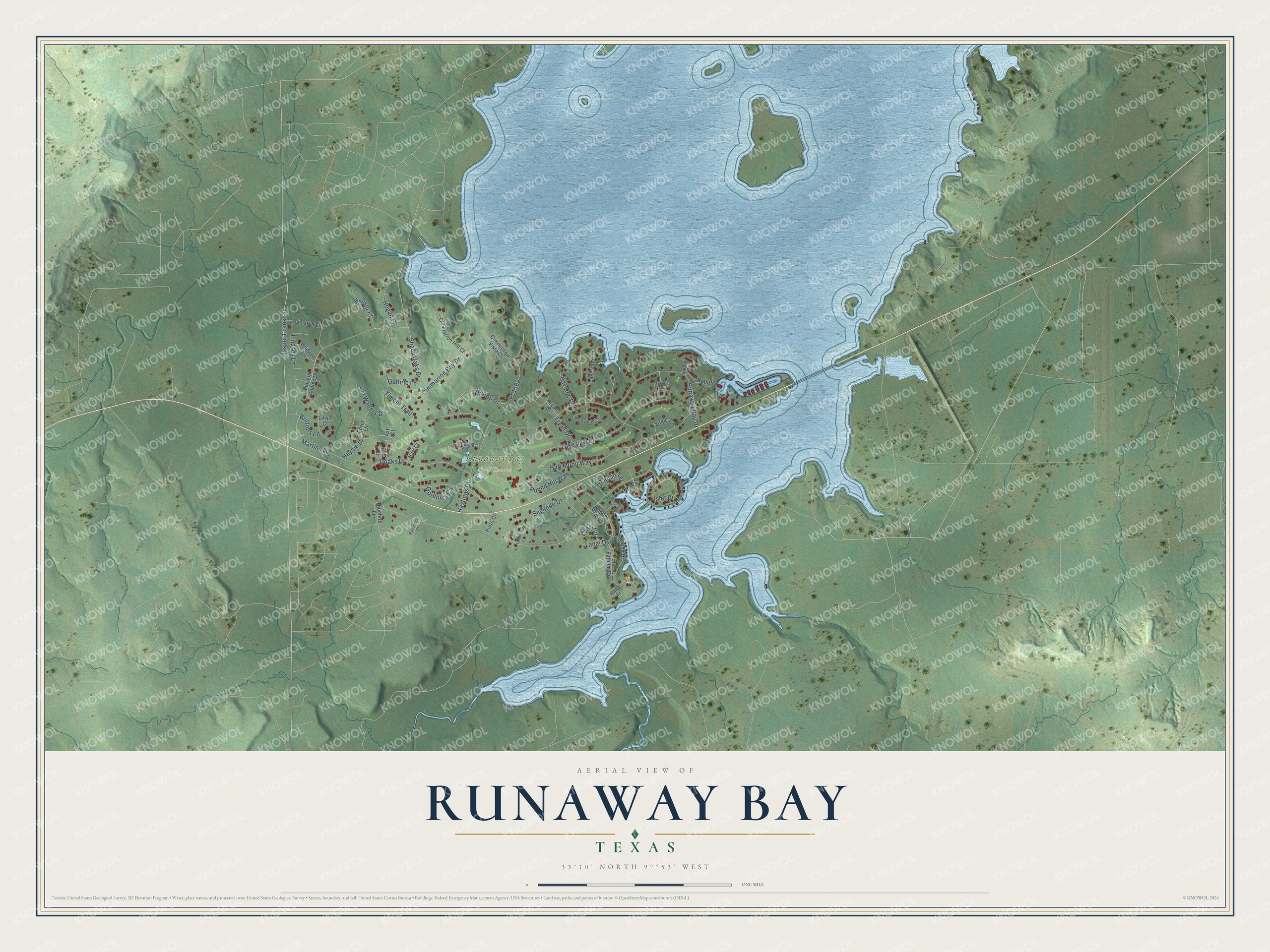
This beautifully detailed map of Runaway Bay, Texas was created in 2026 using aerial imagery combined with modern topographical, census, street and landmark data. It’s a one-of-a-kind view of Runaway Bay that combines accurate data with a vintage aesthetic. The map shows every building in its true location, many of the roads carry their names, and the shaded topographic relief shows the shape of the land.
Explore an aerial view of Runaway Bay, Texas
On the map you’ll find Runaway Bay Golf Course, along with Haynie Drive, Martins Lane, Brittons Lane, Lanai Drive, Jasper Creek Road, Jim Walters Drive, Runaway Bay Drive, Half Moon Way, Lakeview Drive, Shady Oaks Drive, Hilltop Drive, and more. If you look closely you can even find your house accurately drawn in its correct location. Zoom in on the preview to look for yours.
Did you know this piece of Runaway Bay, Texas history?
Runaway Bay was built as a recreation community on the south side of Lake Bridgeport. Settlers reached the area before the Civil War. Colonel William H. Hunt and his family built a home called Cactus Hill about 1855, and its site now lies in the center of the lake. That’s from the Handbook of Texas.
Take a closer look at the Runaway Bay map
Street and place names on the Runaway Bay, Texas map
These names are printed on the map of Runaway Bay, Texas.
Places: Runaway Bay Golf Course.
Streets and roads: Lanai Drive, Martins Lane, Jasper Creek Road, Brittons Lane, Jim Walters Drive, Cimmarron Bay Drive, Haynie Drive, Runaway Bay Drive, Half Moon Way, Lakeview Drive, Shady Oaks Drive, Hilltop Drive.
More street names, A to Z
Ash Court, Balboa Drive, Bay Court, Bay Roc Lane, Bayside Drive, Bluebird Lane, Blue Fathom Drive, Bridwell Lane, Cimmarron Hill Court, Cimmarron Vista Court, Doaks Drive, Dolphin Terrace, Driftwood Court, Durbin Court, Ehret Lane, Elm Court, Flozell Adams Drive, Gordon's Circle, Guthrie Lane, Harbor Drive, Hart Court, Hastings Drive, Hauser Place, Hogan Place, Islet Drive, Johnston Lane, Lakeshore Drive, Lanai Circle, Lanai Court, Lillys Court, Lindsey Lane, Longo Court, Marco Drive, Palomino Court, Pinto Court, Pr 1509, Ratliff Drive, Rose Hall Court, Round Hill Way, Segundo Drive, Sugar Terrace, Timber Trail, Tryall Court, Tryall Drive, Viking Court.
See the Runaway Bay, Texas map on a wall
The Runaway Bay map as an 18 x 24 inch print in a black frame.

This beautifully detailed map of Runaway Bay makes an attractive addition to your office, library, or den, and it can even be used to teach children the geography and history of the area. It also makes a great gift for someone who left Runaway Bay and still calls it home. When you’re done exploring, click here to get your copy of the Runaway Bay map.