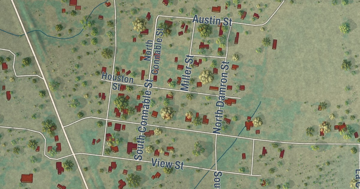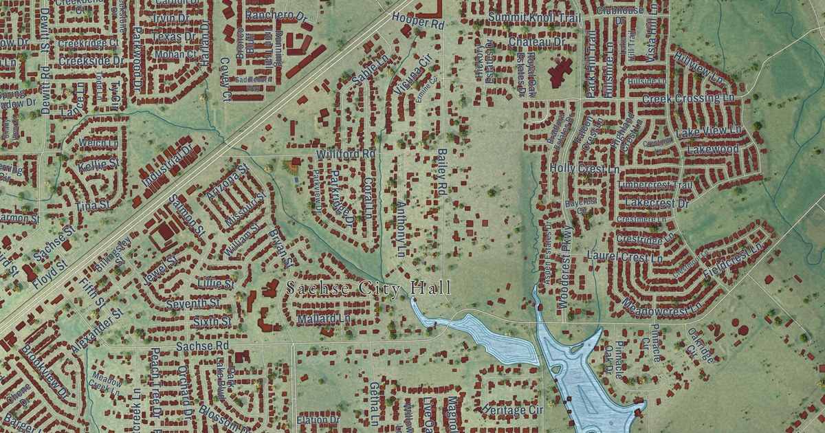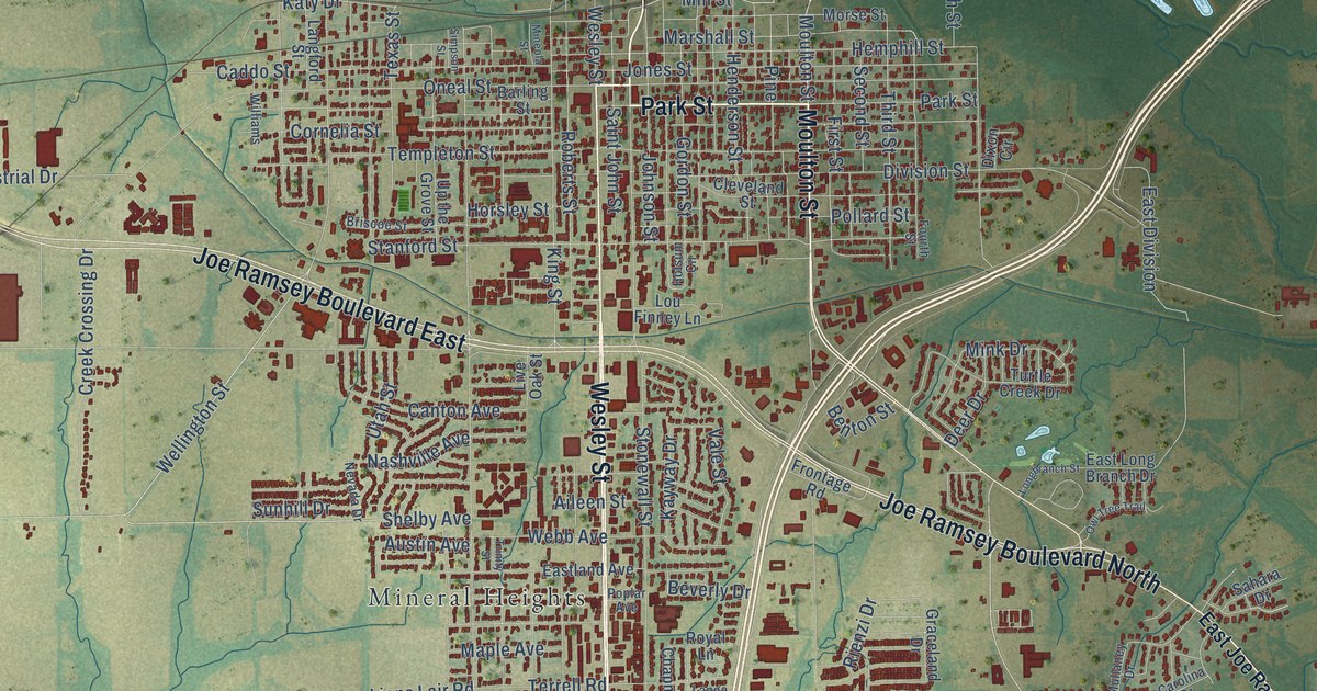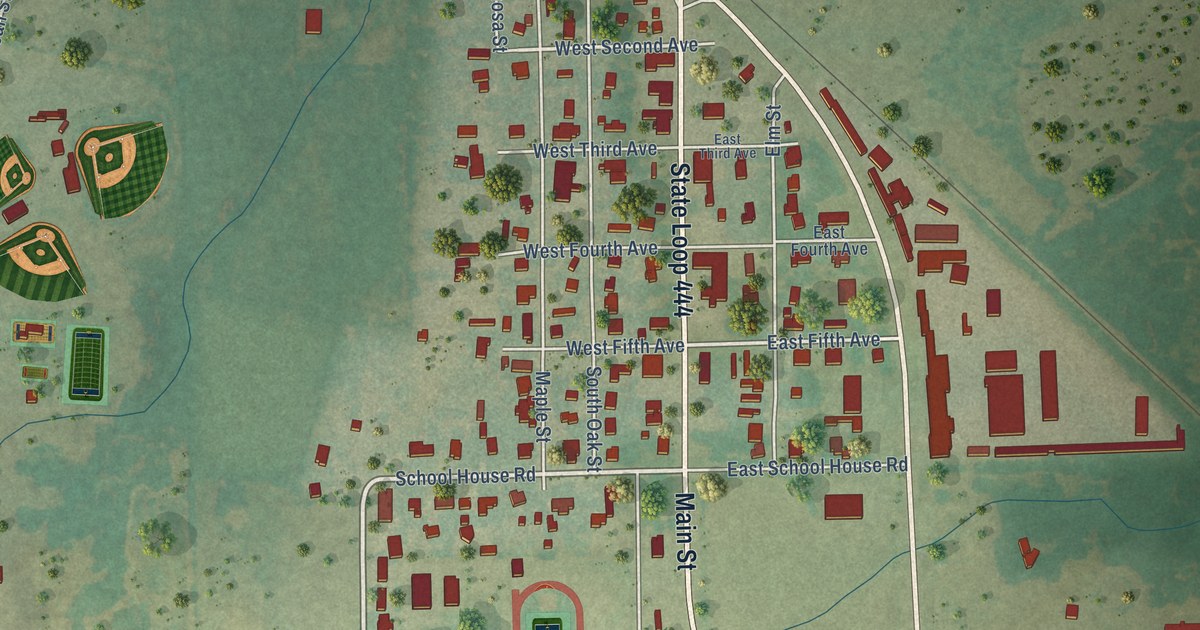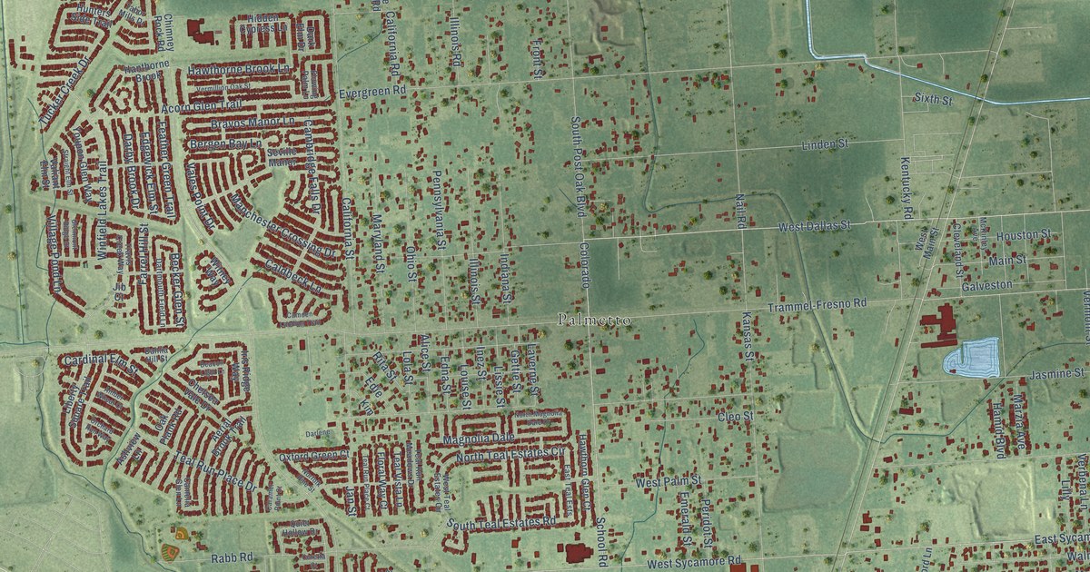
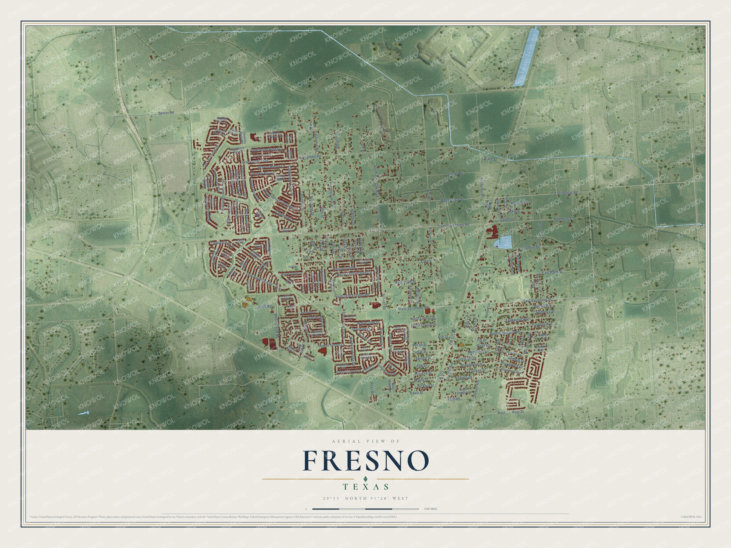
This beautifully detailed map of Fresno, Texas was created in 2026 using aerial imagery combined with modern topographical, census, street and landmark data. It’s a one-of-a-kind view of Fresno that combines accurate data with a vintage aesthetic. The map shows every building in its true location, many of the roads carry their names, and the shaded topographic relief shows the shape of the land.
Explore an aerial view of Fresno, Texas
On the map you’ll find Palmetto and Colorado, along with West Dallas Street, East Dallas Road, Renfro-Burford Road, Billy Lane, West Sycamore Road, School Road, Post Street, East Sycamore Street, Palmetto Street, Hawthorne Brook Lane, and more. If you look closely you can even find your house accurately drawn in its correct location. Zoom in on the preview to look for yours.
Did you know this piece of Fresno, Texas history?
From the Handbook of Texas: "A settler from Fresno, California, reportedly chose the name. The town is on land patented in 1824, once surrounded by cotton plantations."
Take a closer look at the Fresno map
Street and place names on the Fresno, Texas map
These names are printed on the map of Fresno, Texas.
Places: Palmetto.
Streets and roads: West Dallas Street, East Dallas Road, Renfro-Burford Road, Billy Lane, Colorado, West Sycamore Road, School Road, Post Street, East Sycamore Street, Palmetto Street, Hawthorne Brook Lane, Pristine Drive.
More street names, A to Z
Acorn Glen Trail, Aerial Brook Trail, Alice Street, Amber Wheat Court, Andover Glen Drive, Ash Street, Ashview Lane, Auburn View Lane, Beacon Light Lane, Becker Glen Street, Bergen Bay Lane, Bonnie Lea Lane, Bravos Manor Lane, Broadmore Drive, Broadmore Street, Bryan Avenue, Buckwood Court, Burford Lane, Caldbeck Lane, California Road, California Street, Cambridge Falls Drive, Camden Landing Trail, Camelia Glen Lane, Camelia Lane, Caramel Point Court, Cardinal Elm Street, Cavern Brook Lane, Cedar Street, Chandler Park Lane, Chelsea Vale Drive, Chimney Rock Road, Cleo Street, Cleveland Street, College Street, Collier Point Lane, Coretta Court, Cottonwood Avenue, Crescent Drive, Cypress Avenue, Dahlia Hill Street, Darby Brook Drive, Dark Elm Drive, Darlene, Dartmouth Field Lane, Davis Street, Dogwood Avenue, Doreen Avenue, Eaglewood Trail Drive, East Palm Street, East Teal Ests, Edgewick Elm Street, Edie, Edna Street, Elm Street, Emerald Street, Evergreen Road, Fair Hill Avenue, Farrel Hill Street, Feather Green Trail, Fig Drive, Floral Way Court, Flowing Palm Lane, FM 521, FM 521 Road, Front Street, Galveston, Gettie Street, Glacier Blue Drive, Glenmont Ridge Court, Hamid Boulevard, Hannah Falls Lane, Hanthorne Brook, Hardwood Glen Drive, Hawthorn Glen Court, Hickory Street, Hidden Cypress Lane, Houston Street, Hunter Green Lane, Hunters Side Trail, Illinois Road, Illinois Street, Indiana Street, Inez Street, Iris Ridge Way, Ivy Lane, Jan Street, Jasmine Street, Jib Court, Kansas Street, Kentucky Road, Kim, Laverne Street, Liberty Square Trail, Lilly, Lily Lane, Linden Street, Lissie Street, Live Oak Road, Lola Street, Louise Street, Magnolia Dale, Main Street, Manchester Crossing Drive, Maple Street, Mark Terrace, Maryland Street, Marzia Avenue, McKinley Avenue, Merrifield Street, Mimosa Street, Mistletoe Avenue, Monarch Blue Lane, Montclair Hill Lane, Monterra Point, Mulberry Street, Myrtle Avenue, Nail Road, Noble Glen Drive, Norfolk Pine Street, North Locust Drive, North Magnolia Dale Drive, North Teal Estates Circle, Oakleaf Ash Lane, Oak Plank Road, Ohio Street, Orchard Run Way, Owl Tree Court, Oxford Green Court, Park Breeze Drive, Peacham Court, Pecan Street, Pennsylvania Street, Peridot Street, Post, Post Road, Quiet Hollow Drive, Rabb Road, Reams Lane, Redbud Street, Redwood Avenue, Richmond Knoll Lane, Rita Street, Rose Lane, Ross Road, Senior Road, Serenity Trail, Seville Manor, Sixth Street, South Locust Drive, South Post Oak Boulevard, South Teague Street, South Teal Estates Road, Spruce Street, Straight Elm Street, Tabor Mills Drive, Taylor Creek Drive, Teakwood Avenue, Teal Bend Court, Teal Run Meadows Drive, Teal Run Place Court, Teal Run Place Drive, Teal Vista Lane, Trammel-Fresno Road, Travis Creek Way, Tucker Creek Drive, Tulip Lane, Twin Elm Drive, Vales Point Drive, Valiant Elm Street, Verbena Lane, Vermillion Oak Street, Vermont Street, Village Pond Lane, Virginia Drive, Walnut Avenue, West Davis Road, Westenfeldt Road, West Main Street, West Palm Street, West Teal Estates Circle, Winfield Lakes Trail, Witney Way, Yeldell Court, Yorkshire Hollow Lane, Youpon Glen Way.
See the Fresno, Texas map on a wall
The Fresno map as an 18 x 24 inch print in a black frame.

This beautifully detailed map of Fresno makes an attractive addition to your office, library, or den, and it can even be used to teach children the geography and history of the area. It also makes a great gift for anyone with Fresno roots. When you’re done exploring, click here to get your copy of the Fresno map.