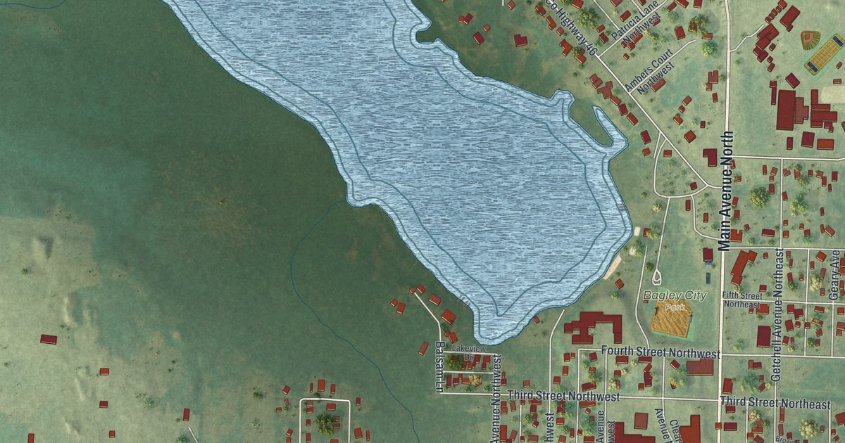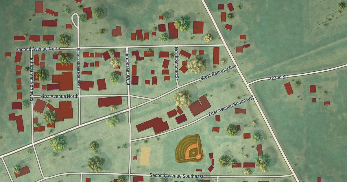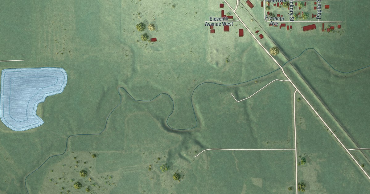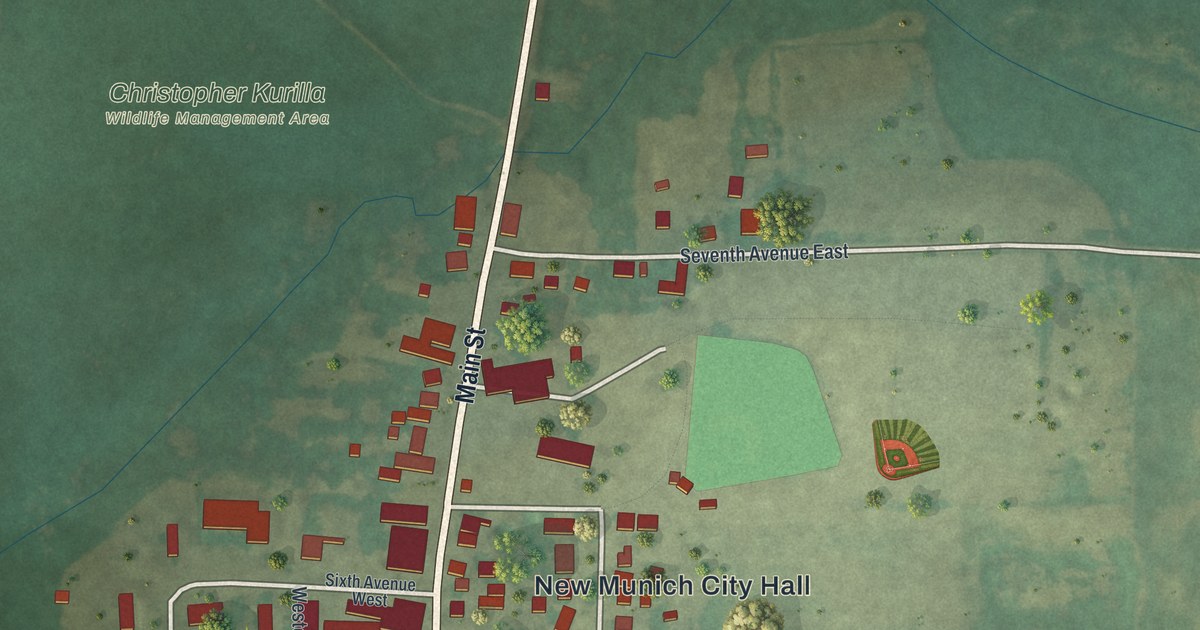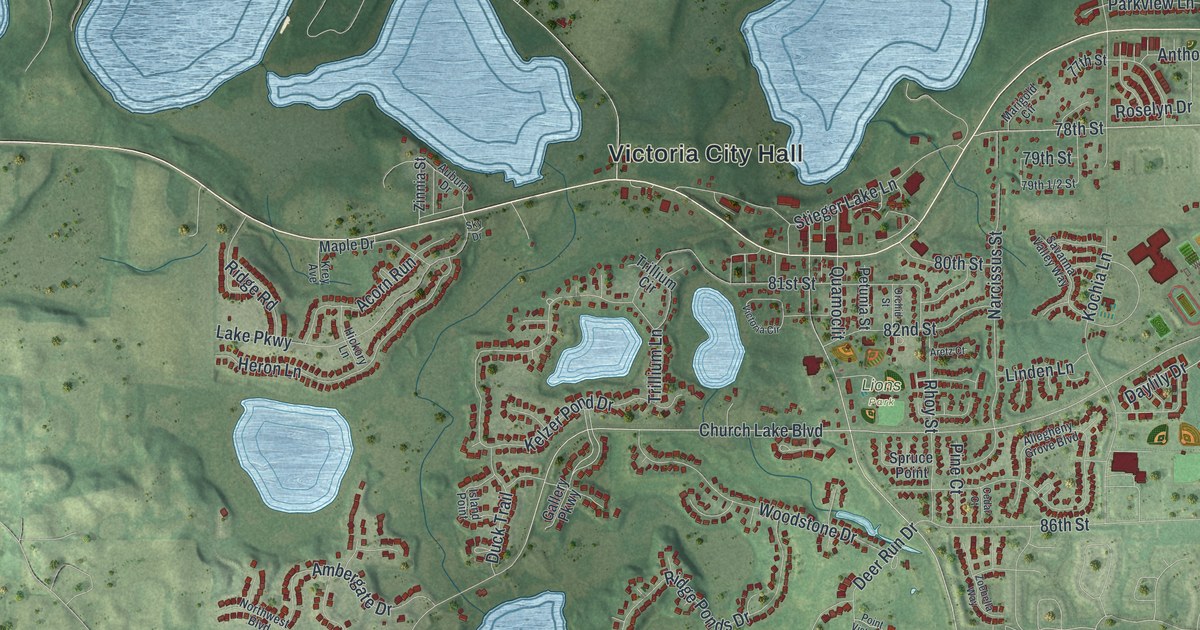
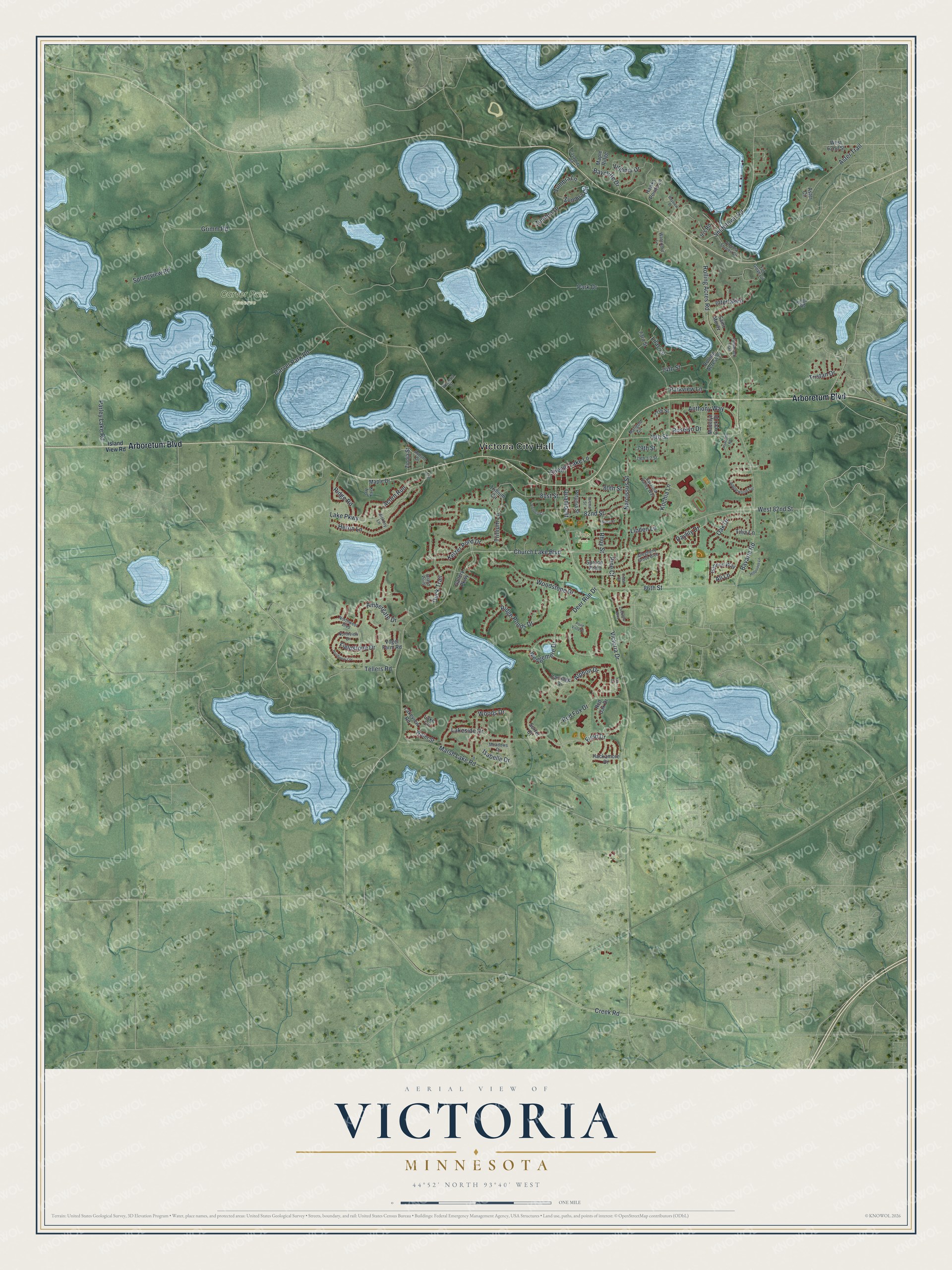
This beautifully detailed map of Victoria, Minnesota was created in 2026 using aerial imagery combined with modern topographical, census, street and landmark data. It's a modern aerial view of Victoria in Carver County, Minnesota, that combines modern data with a vintage aesthetic. The roads feature printed names, and if you look closely you can find your exact house accurately shown in its correct location.
Explore an aerial view of Victoria, Minnesota
On this map you'll find Victoria City Hall, Carver Park Reserve, Lions Park, Arboretum Boulevard, Fieldstone Drive, Rolling Acres Road, Smithtown Road, Victoria Drive, Marsh Lake Road, Park Drive, Bavaria Road, Kochia Lane, and more. Each red shape is a building, so zoom in on the preview and look for yours.
Here is a piece of Victoria history, in the words of the record. The Internet Archive puts it this way: "Victoria, a railway village in sections 13 and 14, Laketown, was named
in honor of the queen of England."
Victoria is a city in Carver County. The Census Bureau counted 10,546 people here in 2020.
Take a closer look at the Victoria map
Names on this map
These names are printed on this map.
Places: Victoria City Hall, Carver Park Reserve and Lions Park.
Streets and roads: Arboretum Boulevard, Fieldstone Drive, Rolling Acres Road, Smithtown Road, Victoria Drive, Marsh Lake Road, Park Drive, Bavaria Road, Kochia Lane, Kelzer Pond Drive, 81st Street, Church Lake Boulevard.
More street names, A to Z
73rd Street, 74th Street, 77th Street, 78th Street, 79th Street, 80th Street, 82nd Street, 86th Street, Acorn Run, Ali Lane, Allegheny Grove Boulevard, Alphon Drive, Ambergate Drive, Anthony Way, Applewood Circle, Aretz Court, Aster Circle, Aster Trail, Auburn Drive, Baycliffe Drive, Bayview Place, Carriage Drive, Carver Park Road, Casamita Road, Cedar Court, Creek Road, Daylily Drive, Deer Run Drive, Duck Trail, Field Drive, Fox Court, Fox Glove Circle, Gallery Parkway, Gannon Way, Grimm Road, Hackamore Drive, Hawks Pointe Lane, Heron Lane, Hickory Lane, Hillpointe Lane, Hyacinth Road, Interlaken, Iris Road, Isabelle Drive, Island Point, Island View Road, Kings Road, Krey Avenue, Lake Circle, Lake Parkway, Lakeside Drive, Lakeview Road, Lilac Lane, Linden Lane, Madelyn Creek Drive, Maple Drive, Maple Ridge, Marigold Circle, Meadows Drive, Narcissus Street, Northview Drive, Northwest Boulevard, Oak Drive, Orchid Street, Parkview Lane, Parley Lake Road, Petunia Street, Pine Court, Point Vista Drive, Pondview Crv, Quamoclit, Red Fox Drive, Red Oak Drive, Rhoy Street, Ridge Ponds Drive, Ridge Road, Rolling Acres Lane, Roselyn Drive, Saint Moritz, Savanna Valley Way, Sky Drive, Sorrel Court, Springview Road, Spruce Point, Stieger Lake Lane, Tamarack Trail, Tellers Road, Tilia Lane, Trillium Circle, Trillium Lane, Tristan Drive, Victoria Circle, Virginia Drive, Virginia Shores Circle, Vogel Farm Road, Waterford Lane, Water Street, Wedgemere Drive, West 62nd Street, West 82nd Street, Wisteria Street, Woods Drive, Woodstone Drive, Zinnia Street, Zoebella Way, Zumbra Circle, Zumbra Drive, Zumbra Lane.
Created by KNOWOL in 2026. The buildings are small red shapes, the roads carry their printed names, and shaded relief shows the shape of the land. The title panel reads "AERIAL VIEW OF VICTORIA MINNESOTA" with 4, 4, °, 5, 2, ', , N, O, R, T, H, , 9, 3, °, 4, 0, ', , W, E, S, T.
It suits a den, a classroom or a front hall, and it makes a gift for anyone with Victoria roots. Open the preview and find the block you know. See sizes and frames for the Victoria map.