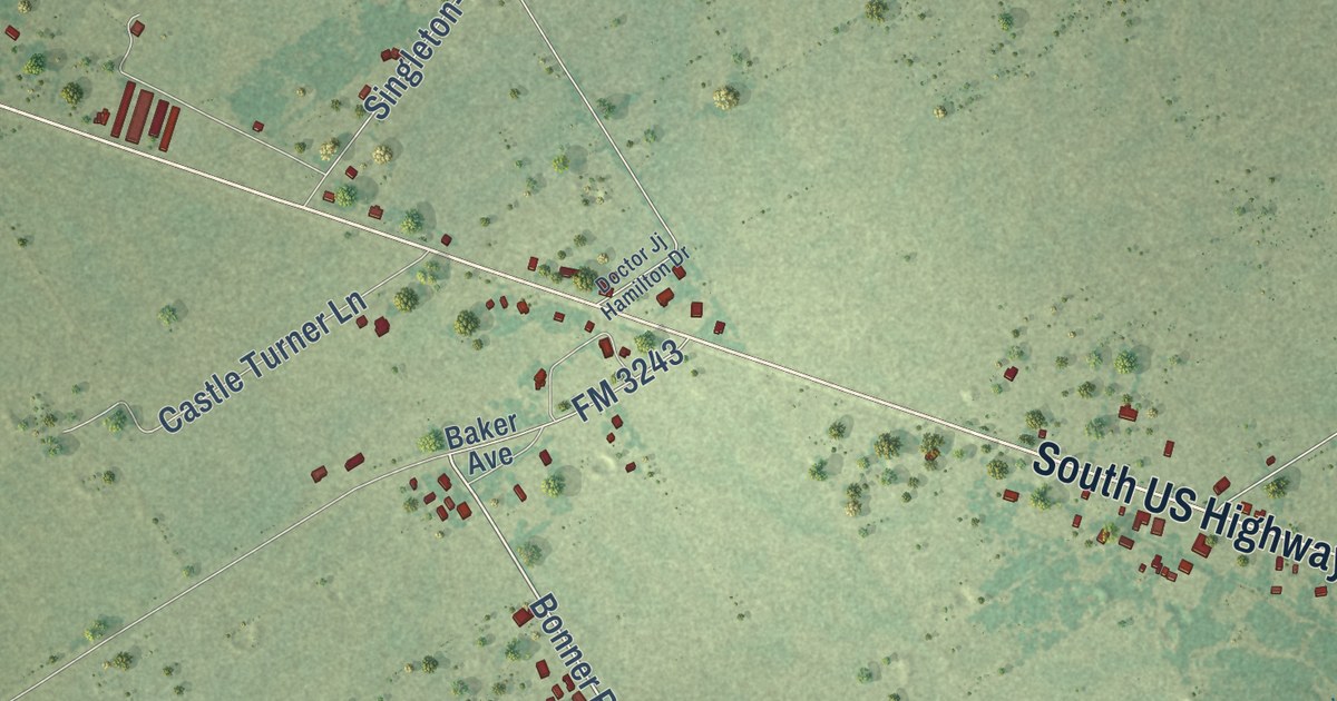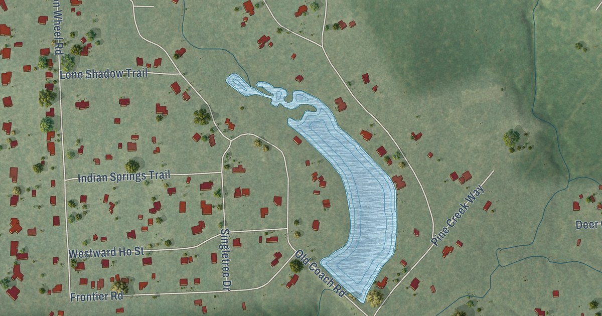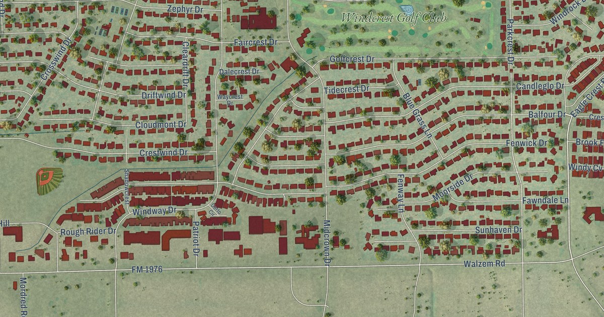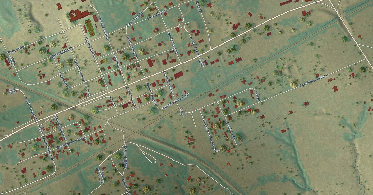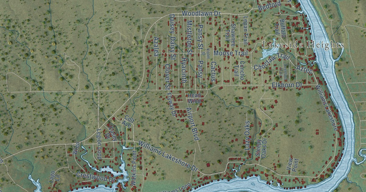
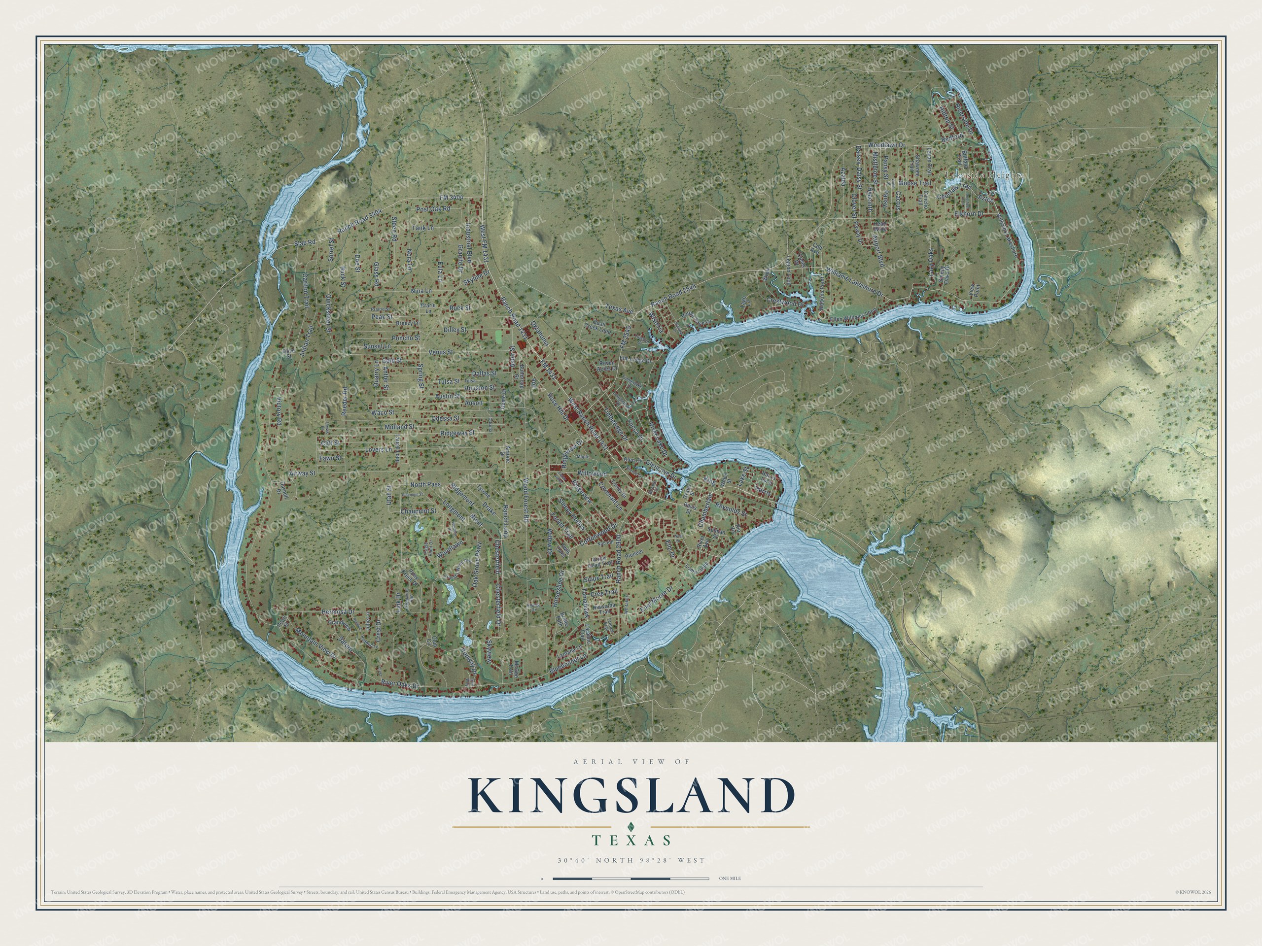
This beautifully detailed map of Kingsland, Texas was created in 2026 using aerial imagery combined with modern topographical, census, street and landmark data. It’s a one-of-a-kind view of Kingsland that combines accurate data with a vintage aesthetic. The map shows every building in its true location, many of the roads carry their names, and the shaded topographic relief shows the shape of the land.
Explore an aerial view of Kingsland, Texas
On the map you’ll find Lakeside Heights, West Ranch Road 1431, Ranch Road 1431, Chesterfield, Aztec, and Skyview, along with Chesterfield Drive, Woodlawn Drive, Pansy Street, Choctaw Trail, FM 1431, Ranch Loop, and more. If you look closely you can even find your house accurately drawn in its correct location. Zoom in on the preview to look for yours.
Did you know this piece of Kingsland, Texas history?
From the Handbook of Texas: "Kingsland had a reported population of 750 in 1907 but suffered a temporary decline, aggravated by a fire in 1922; in 1925 the population was reported as 150."
Take a closer look at the Kingsland map
Street and place names on the Kingsland, Texas map
These names are printed on the map of Kingsland, Texas.
Places: Lakeside Heights.
Streets and roads: West Ranch Road 1431, Ranch Road 1431, Chesterfield, Chesterfield Drive, Woodlawn Drive, Pansy Street, Choctaw Trail, Aztec, FM 1431, Ranch Loop, Skyview, West FM 1431.
More street names, A to Z
Airport Boulevard, Airway Street, Anson, Antler Street, Antone Drive, Arrow Head Trail, Aster Street, Austin Street, Azalea, Bedford, Bluebonnet Lane, Bonnie Cv, Breezy Lane, Brent, Bridle Path, Buck Street, Buffalo Trail, Buttercup Street, Cactus, Carlton Trail, Casey Drive, Cedar Valley, Chamberlain, Chaparrel Run, Chaumont Street, Cliff Street, Clover Street, Club Circle, Colt Avenue, Concho Trail, Corona, Cottonwood Drive, Covenant Lane, Cree Trail, Crest, Crest Drive, Crestwood Drive, Daisey, Daisy Street, Dallas Street, Darnell Drive, Davis Street, Deerfoot Trail, Dilley Street, Doe Street, Dove Street, Drake, Eagle Point Drive, Elkhorn Drive, Ellen Williams Loop, Elm Drive, Elm Lodge Drive, Euel Moore Drive, Eula Lane, Ewing Drive, Fawn Street, Flyway Drive, FM 2545, FM 3404, Forest Trail, Friend's Wood Avenue, Game Drive, Glass Road, Glencove Drive, Glen Cv, Gold Street, Grand Street, Grandview, Granite Drive, Harris, Harris Loop, Hatfield Drive, Head Wind, Hermosa Drive, Hiawatha Trail, Hilltop Street, Horseshoe Drive, Houston Street, Hyacinth, Indian Trail, Industrial Boulevard, Iron Way, Ironway Drive, Joe, Julie Lane, King, Lago Lane, Lake Street, Lantana Lane, Laramie Trail, Laurel Loop, Lawson Drive, Lazy Oaks, Legion Loop, Lepan Trail, Lewis Lane, Link Drive, Loma Linda, Longfellow Drive, Longmont, Lovers Lane, Maple, McGee Trail, Midland Street, Mistletoe Street, Moose Trail, Mountain View Drive, Nina Lane, Nob Hill, Nora Lane, North Pass, Oak Grove Parkway, Odessa Street, Oklahoma, Pansy, Peak Street, Pearl Street, Pierce Drive, Pinemont Street, Pioneer, Poncho Street, Pony Creek Drive, Post Oak Road, Prairie Street, Prarie Lane, Purple Sage Lane, Quail Creek Loop, Quarry Lane, Quicksilver Street, Ranch Road 2545, Ranch Road 2900, Ranch Road 3404, Redbud, Redbud Lane, Reeder Road, Reven Acres Drive, Reynolds Street, Ridgemont, Ridgeview, Ridgeview Drive, Ridgeway Street, Rio Vis, River Avenue, River Lake Drive, River Oaks Drive, Riverside Drive, Rock Street, Rose Hill Drive, Saturn, Selman Street, Shawnee Trail, Sioux Trail, Skyline Drive, Slab Road, Sleepy Hollow, Sleepy Oaks Drive, Sorrel Street, Spring Street, Steen Road, Sunset Lane, Tank Lane, Teepee Trail, Texas Avenue, Timberidge Drive, Timberlake Drive, Tomahawk, Trinity Drive, Tulsa, Tulsa Street, Twin Oaks, Tyrone, Utah Street, Venus Street, Victory Road, View Point, Violet Street, Waco Street, Watkins Point, Weed Street, West Drive, Western Drive, Whitaker, Williams Lakeshore, Williams Lakeshore Drive, Willow Drive, Willowood, Wisteria, Wood Forest Road, Woodlawn, Wren, Yucca Drive.
See the Kingsland, Texas map on a wall
The Kingsland map as an 18 x 24 inch print in a black frame.

This beautifully detailed map of Kingsland makes an attractive addition to your office, library, or den, and it can even be used to teach children the geography and history of the area. It also makes a great gift for someone who left Kingsland and still calls it home. When you’re done exploring, click here to get your copy of the Kingsland map.