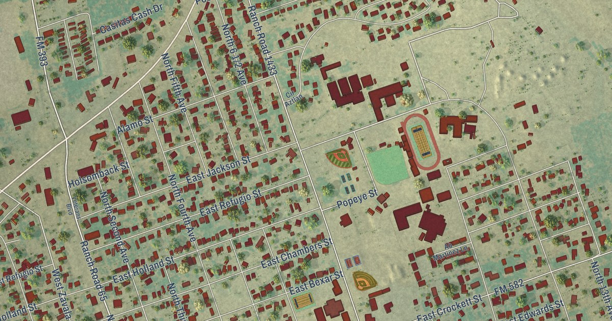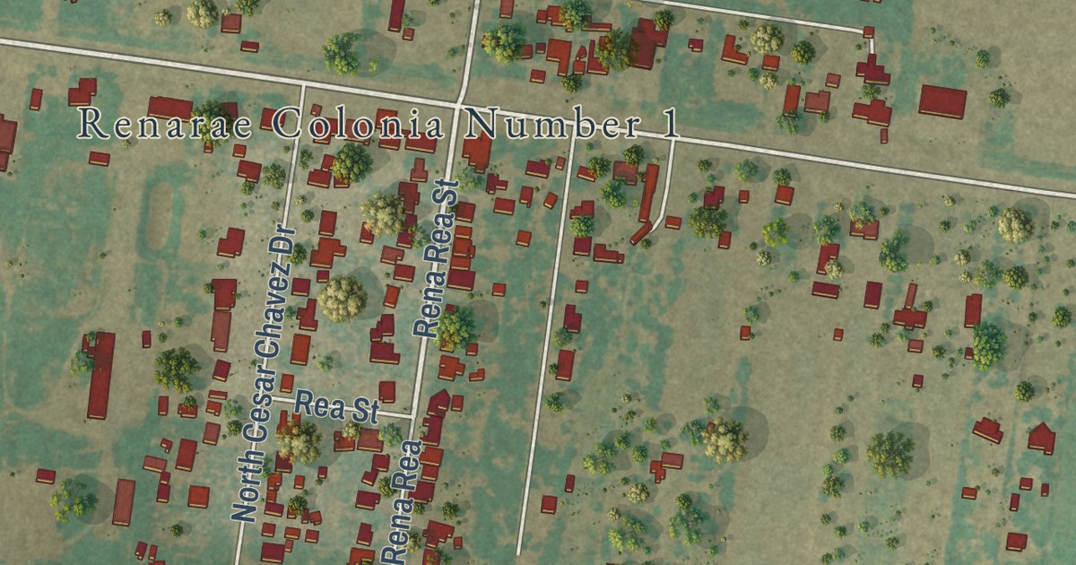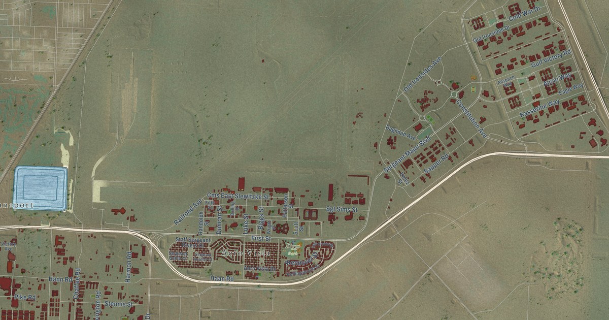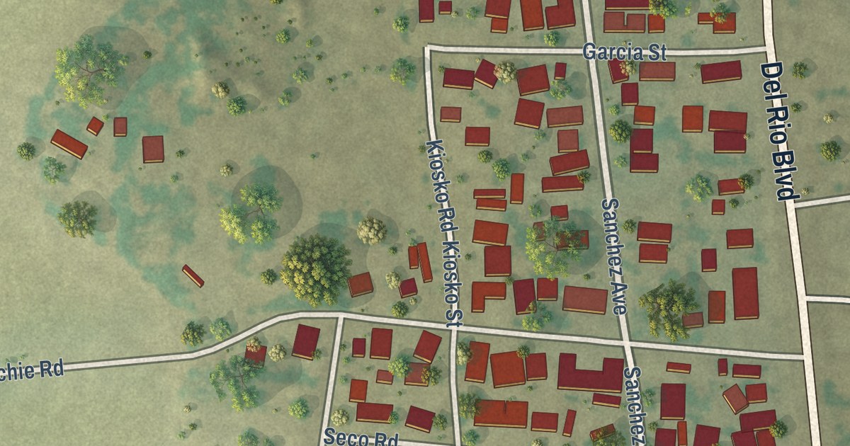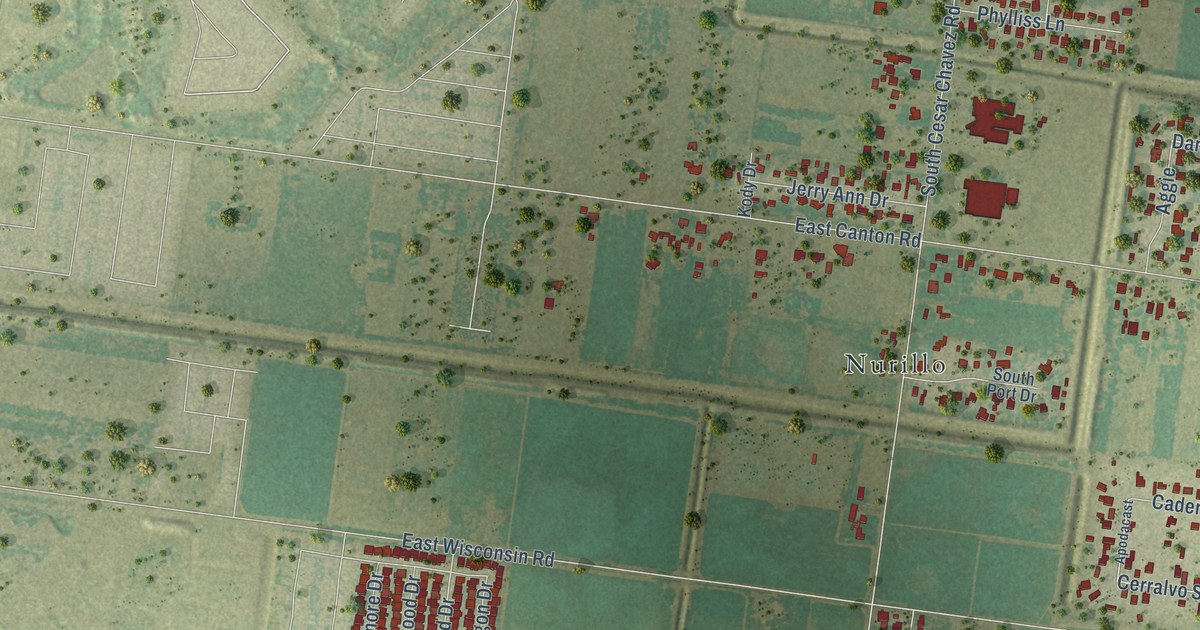
This beautifully detailed map of Murillo, Texas was created in 2026 using aerial imagery combined with modern topographical, census, street and landmark data. It’s a one-of-a-kind view of Murillo that combines accurate data with a vintage aesthetic. The map shows every building in its true location, many of the roads carry their names, and the shaded topographic relief shows the shape of the land.
Explore an aerial view of Murillo, Texas
On the map you’ll find Albino Rodriguez Estates Colonia, Cole Colonia, Country View Colonia, Morningside Estates Colonia, Murillo Colonia, Nelle Estates Colonia, Nurillo, Owassa Estates Colonia, Tierra del Valle Colonia, Valley Star Acres Colonia, and Yokum-Hall Colonia, along with East University Drive, and more. If you look closely you can even find your house accurately drawn in its correct location. Zoom in on the preview to look for yours.
Take a closer look at the Murillo map
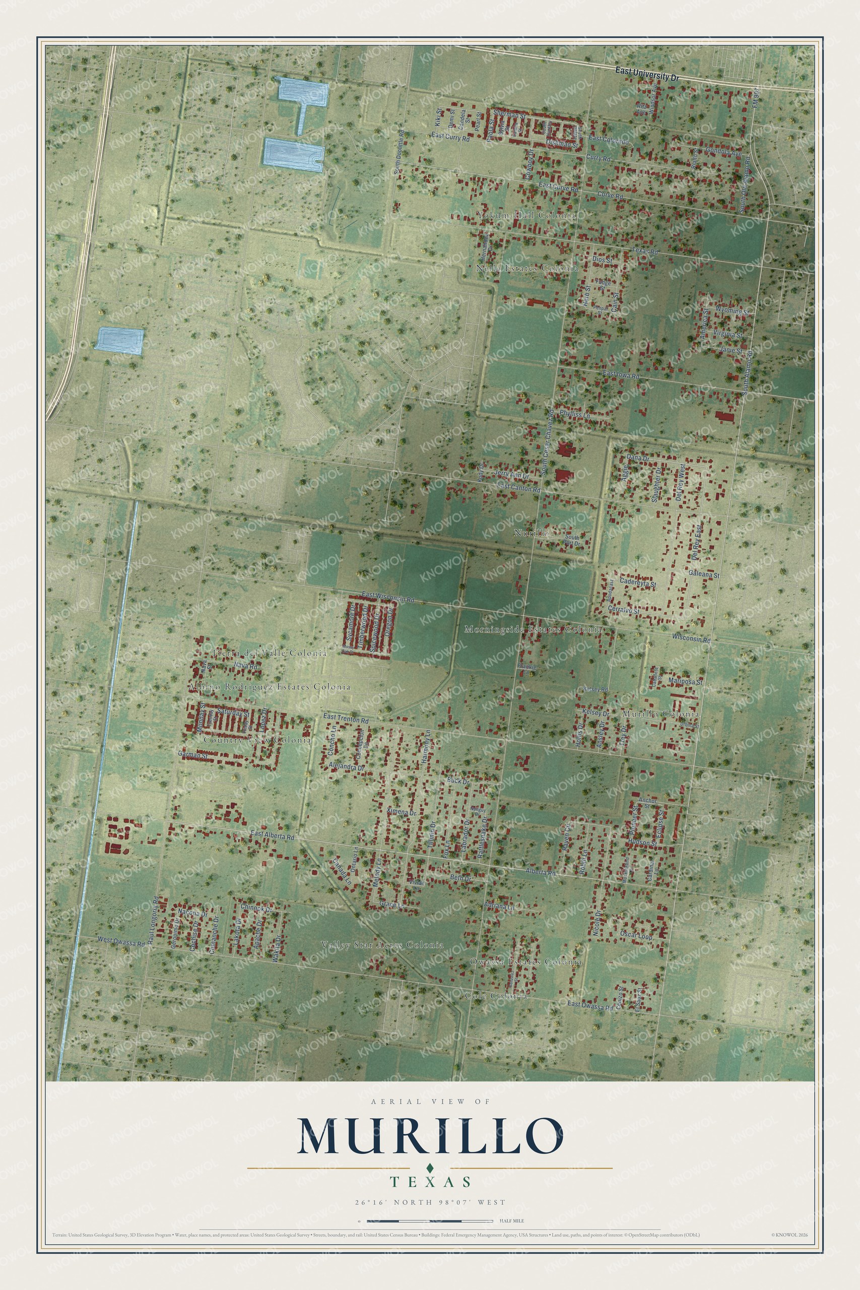
Street and place names on the Murillo, Texas map
These names are printed on the map of Murillo, Texas.
Places: Albino Rodriguez Estates Colonia, Cole Colonia, Country View Colonia, Morningside Estates Colonia, Murillo Colonia, Nelle Estates Colonia, Nurillo, Owassa Estates Colonia, Tierra del Valle Colonia, Valley Star Acres Colonia and Yokum-Hall Colonia.
Streets and roads: East University Drive, East Alberta Road, Alberta Road, Sherman Street, Dana Drive, Del Rey East, South Alamo Road, Curve Road, Cerralvo Street, East Curve Road, FM 907, South Cesar Chavez Road.
More street names, A to Z
Adriana Lane, Aggie, Alejandra Drive, America Street, Anchor Street, Ansley Drive, Apache Drive, Apodacast, Beth Drive, Buck Drive, Caballete Street, Cadereyta Street, Cain Street, Camila Street, Canada Lane, Candela Street, Cardinal Lane, Cenizo Street, Chinook Drive, Cochise Drive, Comanche Drive, Concepcion Lane, Concho Lane, Cowboy Drive, Curry Road, Del Rey West, Demi Street, Dios Street, Dishman Street, East Canton Road, East Colorado, East Curry Road, East Iowa Road, East Owassa Road, East Trenton Road, East Wisconsin Road, Eclipse Street, El Sauz Street, Fox Lane, Frankie Lane, Friday Street, Fudge Street, Galeana Street, Garman Street, Geronimo Drive, Gondola Avenue, Gonzalez Street, Grace Lane, Harmony Lane, Herb Street, Hernandez Drive, Hollis Drive, Hudson Street, Janie Street, Jerry Ann Drive, Kelsey Drive, Kelsey Road, Kiki Street, Kody Drive, Labrador Drive, Lakota Drive, Lopez Drive, Mariposa Street, Melody Lane, Mockingbird Lane, Monday Street, Mossy Oak Drive, Nacona Drive, Nava Road, Nava Street, Nicole Drive, Nuilguy Drive, Ontario Lane, Oregon Drive, Oscar Loop, Paola Street, Pearl Street, Penpal Street, Phylliss Lane, Pioneer Street, Rattlesnake Drive, Raul Longoria Road, Raven Circle, Rialto Street, Ritz Avenue, Robin Lane, Saturday Street, Slaughter Drive, South Doolittle Road, South Huntley, South Oblate, South Old Alamo Road, South Port Drive, Spicewood Drive, Sycamore Drive, Sylvia Street, Texas Road, Tillmin Drive, Timberwood Drive, Trey Drive, Tuesday Street, Urbina Street, Virginia Street, Vivian Lane, Wakita Drive, West Owassa Road, Windsor Avenue, Wisconsin Road, Wyoming Street, Ximena Drive.
See the Murillo, Texas map on a wall
The Murillo map as an 18 x 24 inch print in a black frame.

This beautifully detailed map of Murillo makes an attractive addition to your office, library, or den, and it can even be used to teach children the geography and history of the area. It also makes a great gift for anyone with Murillo roots. When you’re done exploring, click here to get your copy of the Murillo map.