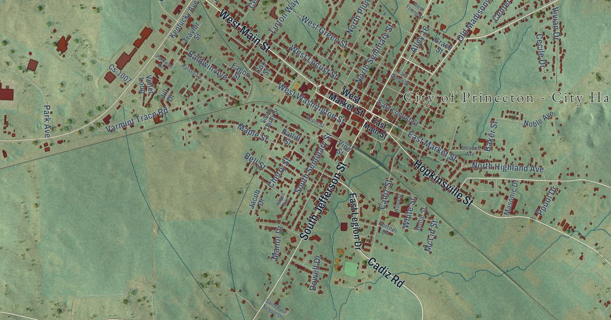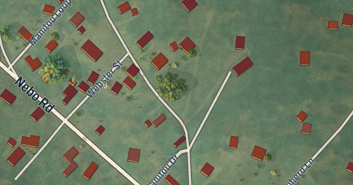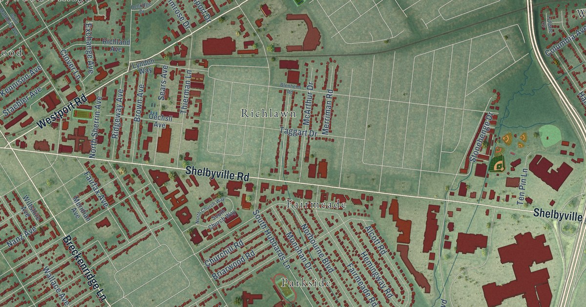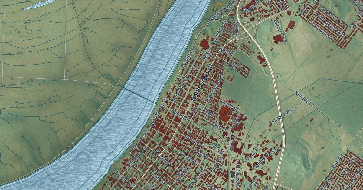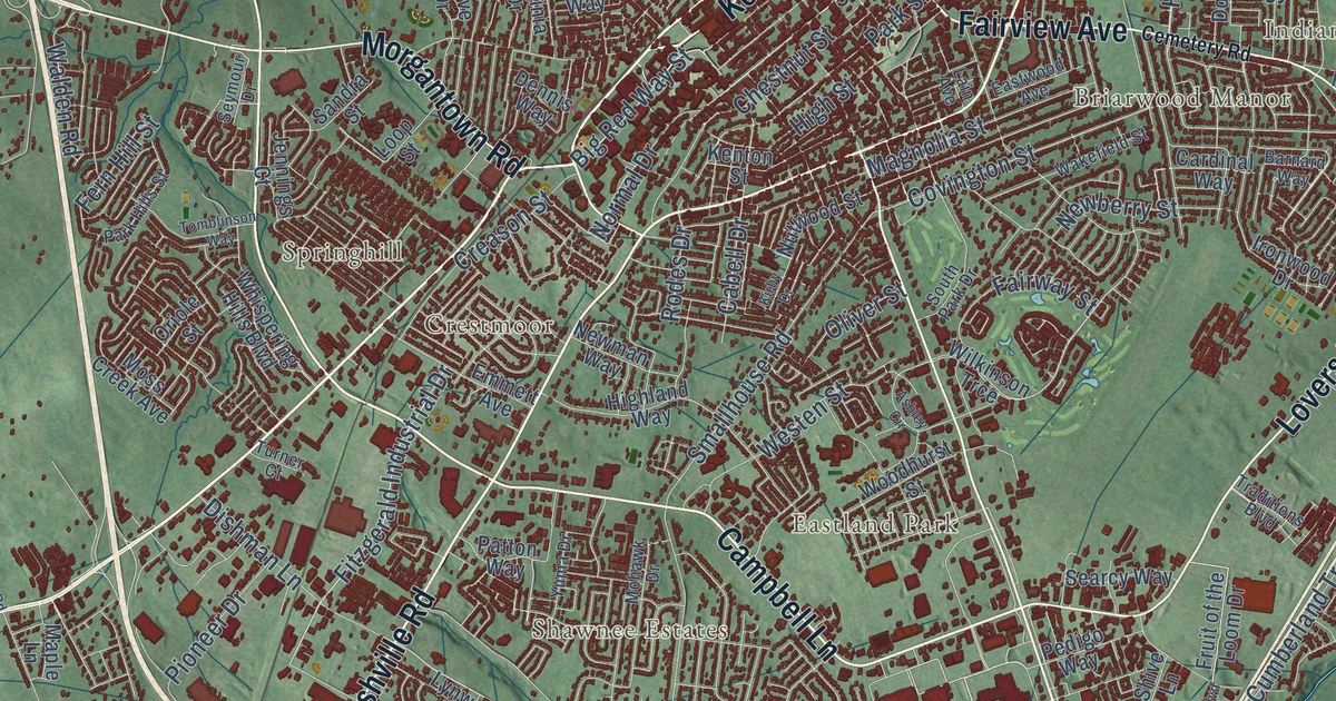
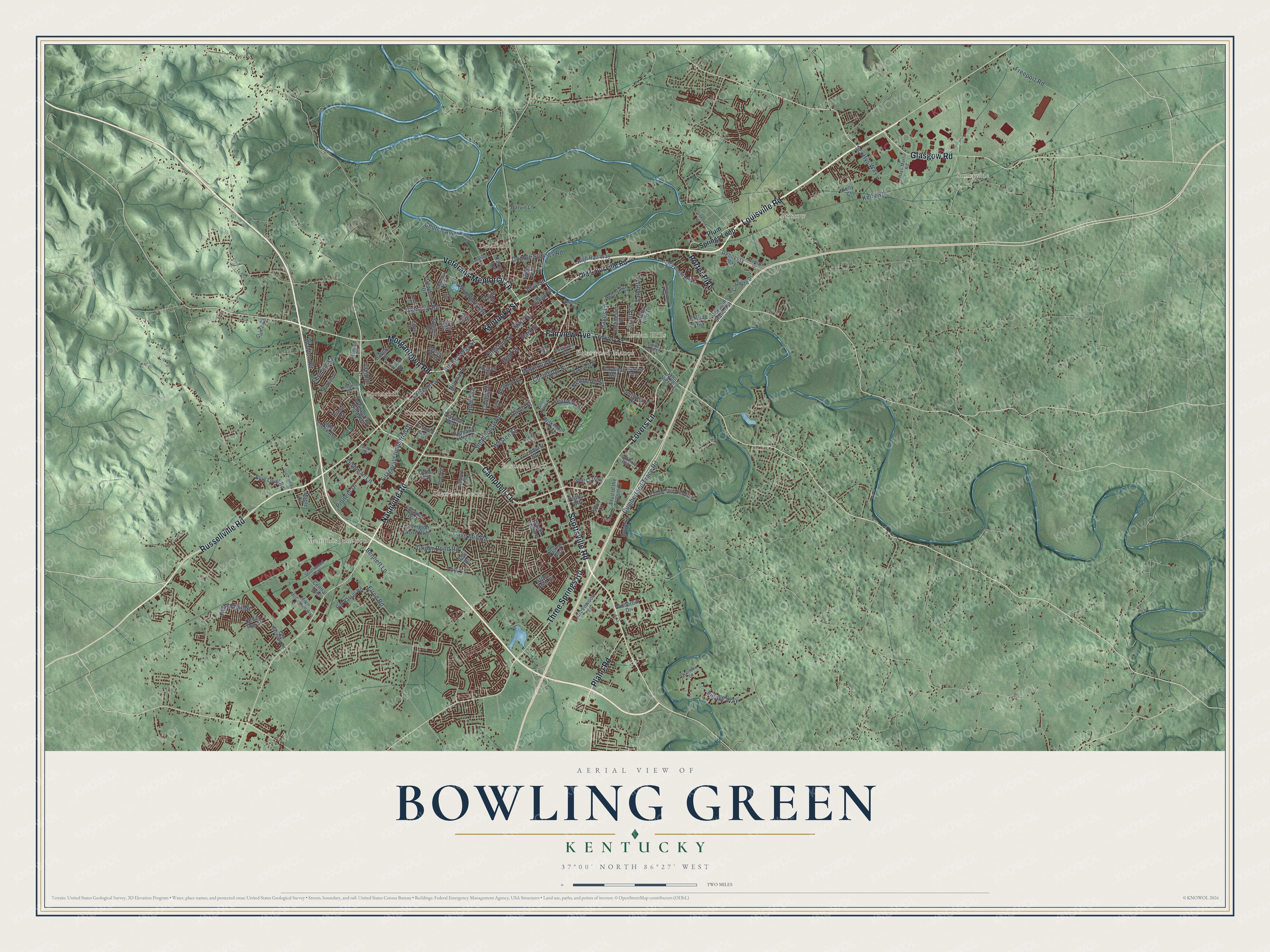
This beautifully detailed map of Bowling Green, Kentucky was created in 2026 using aerial imagery combined with modern topographical, census, street and landmark data. It’s a one-of-a-kind view of Bowling Green that combines accurate data with a vintage aesthetic. The map shows every building in its true location, many of the roads carry their names, and the shaded topographic relief shows the shape of the land.
Explore an aerial view of Bowling Green, Kentucky
On the map you’ll find Briarwood Manor, Bristow, Delafield, Eastland Park, Greenwood, Indian Hills, Lost River, Memphis Junction, Shawnee Estates, and Sunnyside, along with Louisville Road, Russellville Road, and more. If you look closely you can even find your house accurately drawn in its correct location. Zoom in on the preview to look for yours.
Did you know this piece of Bowling Green, Kentucky history?
From the Kentucky Historical Society: "Cherry Elem. began educating children in the fall of 1950. It housed grades K-8, which included the first kindergarten offered by Bowling Green public schools."
Take a closer look at the Bowling Green map
Street and place names on the Bowling Green, Kentucky map
These names are printed on the map of Bowling Green, Kentucky.
Places: Sunnyside, Memphis Junction, Bristow, Springhill, Delafield, Eastland Park, Shawnee Estates, Indian Hills, Briarwood Manor and Crestmoor.
Streets and roads: Louisville Road, Russellville Road, Scottsville Road, Kentucky Street, Nashville Road, Campbell Lane, Fairview Avenue, Veterans Memorial Lane, Lovers Lane, Morgantown Road, Glasgow Road, Three Springs Road.
More street names, A to Z
Ashley Circle, Avon Avenue, Barnard Way, Bennett Lane, Big Red Way Street, Blue Level Road, Bow Drive, Butler Way, Cabell Drive, Cal Batsel Road, Cardinal Way, Carla Drive, Cave Mill Road, Cedar Run Street, Cemetery Road, Central Avenue, Chestnut Street, Church Avenue, Clay Street, Clifford Way, College Street, Commerce Street, Corvette Drive, Cove Drive, Covington Grove Boulevard, Covington Street, Creason Street, Crewdson Drive, Cumberland Ridge Avenue, Cumberland Trace Road, Dennis Way, Dishman Lane, Dorchester Drive, Double Springs Road, East McLellan Road, Eastwood Avenue, Elrod Road, Emmett Avenue, Ewing Ford Road, Fair Street, Fairway Street, Fern Hill Street, Fitzgerald Industrial Drive, Freeport Road, Fruit of the Loom Drive, Garvin Lane, Glen Lily Road, Greenwood Lane, Grider Pond Road, Guinn Court, Hayes Lane, Hays-Martin Road, Hennessy Way, Highland Way, High Rail Way, High Street, Indian Hills Drive, Interstate Drive, Ironwood Drive, Jackson Street, Jennings Court, Jfs Circle, Kelly Court, Kelly Road, Kenton Street, Kinlock Lane, Kirby Drive, Lain Avenue, Lois Lane, Loop Street, Lynwood Way, Magnolia Street, Maple Lane, McFadin Station Street, Mitch McConnell Way, Mohawk Drive, Moss Creek Avenue, Mount Ayr Circle, Mount Victor Lane, Natcher Lane, Newberry Street, Newman Way, Normal Drive, North Mill Avenue, Nutwood Street, Old Louisville Road, Old Porter Pike, Old Tram Road, Oliver Street, Oriole Street, Overlook Lane, Park Hills Street, Park Street, Pascoe Boulevard, Patton Way, Payne Street, Pedigo Way, Pioneer Drive, Plano Road, Plum Springs Loop, Porter Pike, Raven Avenue, Red Maple Street, Ridgewood Drive, Rodes Drive, Rosie Court, Sandra Street, Scott Lane, Scottys Way, Searcy Way, Seymour Drive, Shannon Way, Shive Boulevard, Shive Lane, Smallhouse Road, South Park Drive, Southwood Court, State Street, Stone Briar Street, Talbott Drive, Tomblinson Way, Traditions Boulevard, Turner Court, Vanderbilt Drive, Village Way, Virginia Drive, Wakefield Street, Walden Road, Webb Avenue, Westen Street, Whispering Hills Boulevard, Wilkinson Trce, Woodford Avenue, Woodhurst Street, Yuma Drive.
See the Bowling Green, Kentucky map on a wall
The Bowling Green map as an 18 x 24 inch print in a black frame.

This beautifully detailed map of Bowling Green makes an attractive addition to your office, library, or den, and it can even be used to teach children the geography and history of the area. It also makes a great gift for anyone with Bowling Green roots. When you’re done exploring, click here to get your copy of the Bowling Green map.