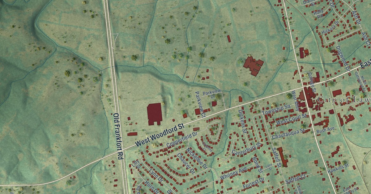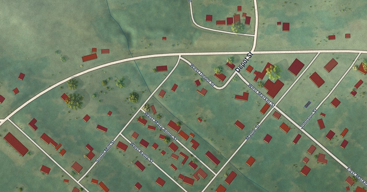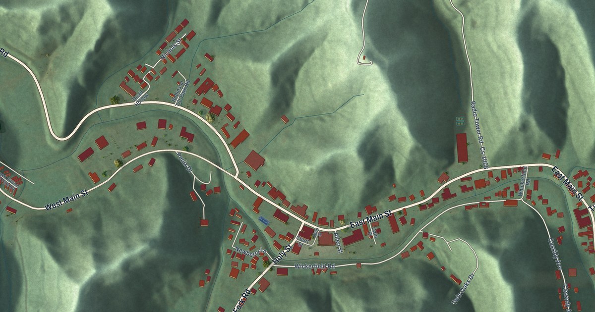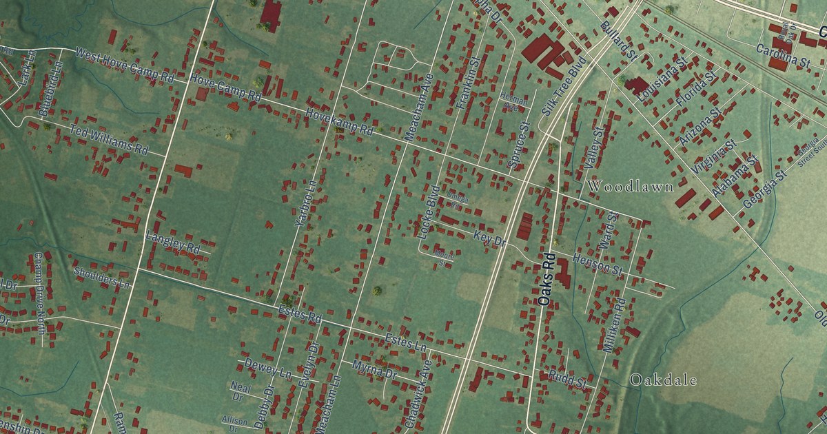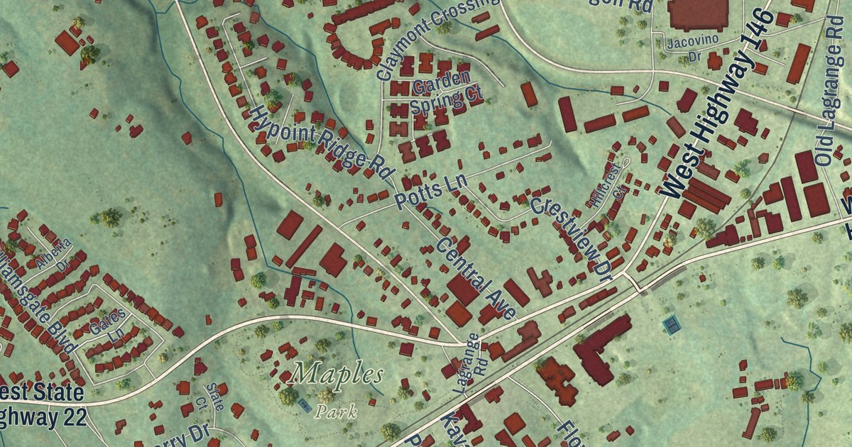
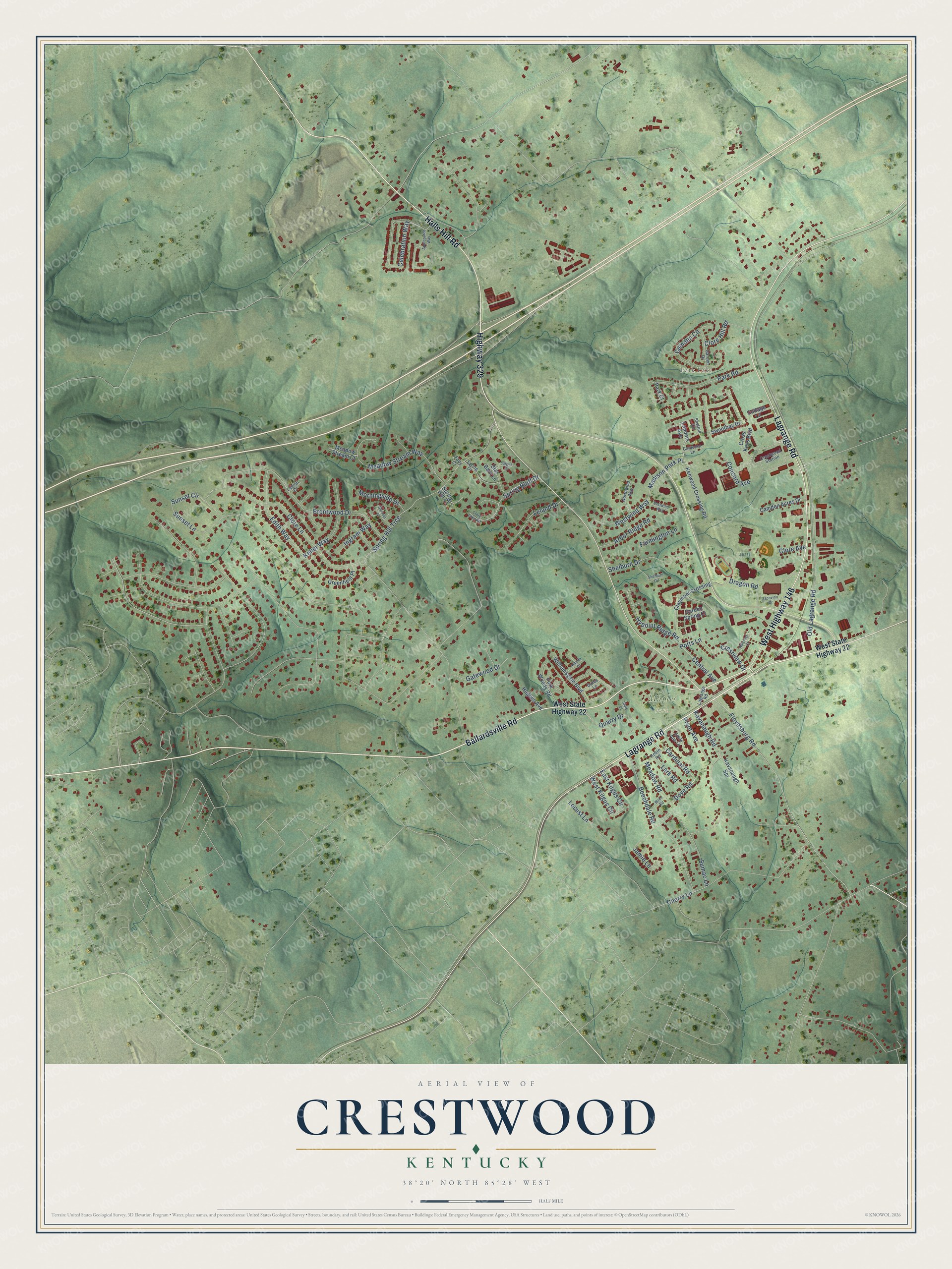
This beautifully detailed map of Crestwood, Kentucky was created in 2026 using aerial imagery combined with modern topographical, census, street and landmark data. It’s a one-of-a-kind view of Crestwood that combines accurate data with a vintage aesthetic. The map shows every building in its true location, many of the roads carry their names, and the shaded topographic relief shows the shape of the land.
Explore an aerial view of Crestwood, Kentucky
On the map you’ll find Maples Park, Brownsboro, and Park Lake, along with West Highway 146, Ballardsville Road, West State Highway 22, Lagrange Road, Halls Hill Road, Highway 329, Cardinal Road, Landers Avenue, Central Avenue, and more. If you look closely you can even find your house accurately drawn in its correct location. Zoom in on the preview to look for yours.
Did you know this piece of Crestwood, Kentucky history?
From the Kentucky Atlas and Gazetteer: "The station was named for Joseph Beard, who had donated the land. The name was shortened to Beard in 1880 which lead to the town being referred to as Whiskers."
Take a closer look at the Crestwood map
Street and place names on the Crestwood, Kentucky map
These names are printed on the map of Crestwood, Kentucky.
Places: Maples Park and Park Lake.
Streets and roads: West Highway 146, Ballardsville Road, Lagrange Road, Halls Hill Road, Highway 329, Cardinal Road, Edith Way, Madison Park Place, Brentwood Drive, Spring Hill Trce, Keller Way, Clore Lane.
More street names, A to Z
Alberta Drive, Angus Court, Applepatch Way, Arbor Ridge Road, Beechdale Road, Camden Acres Drive, Camden Circle, Cameron Lane, Celebration Way, Central Avenue, Cherry Lane, Claymont Crossing, Clore Avenue, Clore Hill Road, Clore Lake Road, Concord Avenue, Cottage Lane, Crestview Drive, Crestwood Station, Cross Keys Boulevard, Dove Road, Dragon Road, East Kilgus Circle, Eastwind Way, Emily Ann Lane, Falls Court, Farmington Lane, Floydsburg Road, Garden Drive, Garden Spring Court, Gates Lane, Gatewood Drive, Greenfield Place, Hillcrest Court, Hughes Avenue, Hypoint Ridge Road, Ingram Way, Jacovino Drive, Jamie Lane, Kavanaugh Road, Kavanaugh Spr, Kenwood Crossing Road, Landers Avenue, Lark Road, Leland Drive, Leyton Court, Locust Lane, Meadow Road, Meadow Stream Court, Meadow Stream Way, Morningside Drive, Northwind Way, Old Lagrange Road, Park Court, Park Road, Park Woods Road, Potts Lane, Pryor Avenue, Quarry Drive, Robin Road, Shelburn Circle, Shelburn Drive, Shelton Circle, Slate Court, Spring Bluff Drive, Spring Drive, Spring Hill Court, Star Barn Lane, Sumac Lane, Sumner Place, Sunset Circle, Sunset Lane, Sweetbay Drive, West Kilgus Circle, West State Highway 22, Westwind Way, Williamsgate Boulevard, Wren Road.
See the Crestwood, Kentucky map on a wall
The Crestwood map as an 18 x 24 inch print in a black frame.

This beautifully detailed map of Crestwood makes an attractive addition to your office, library, or den, and it can even be used to teach children the geography and history of the area. It also makes a great gift for someone who left Crestwood and still calls it home. When you’re done exploring, click here to get your copy of the Crestwood map.