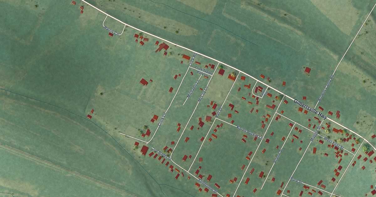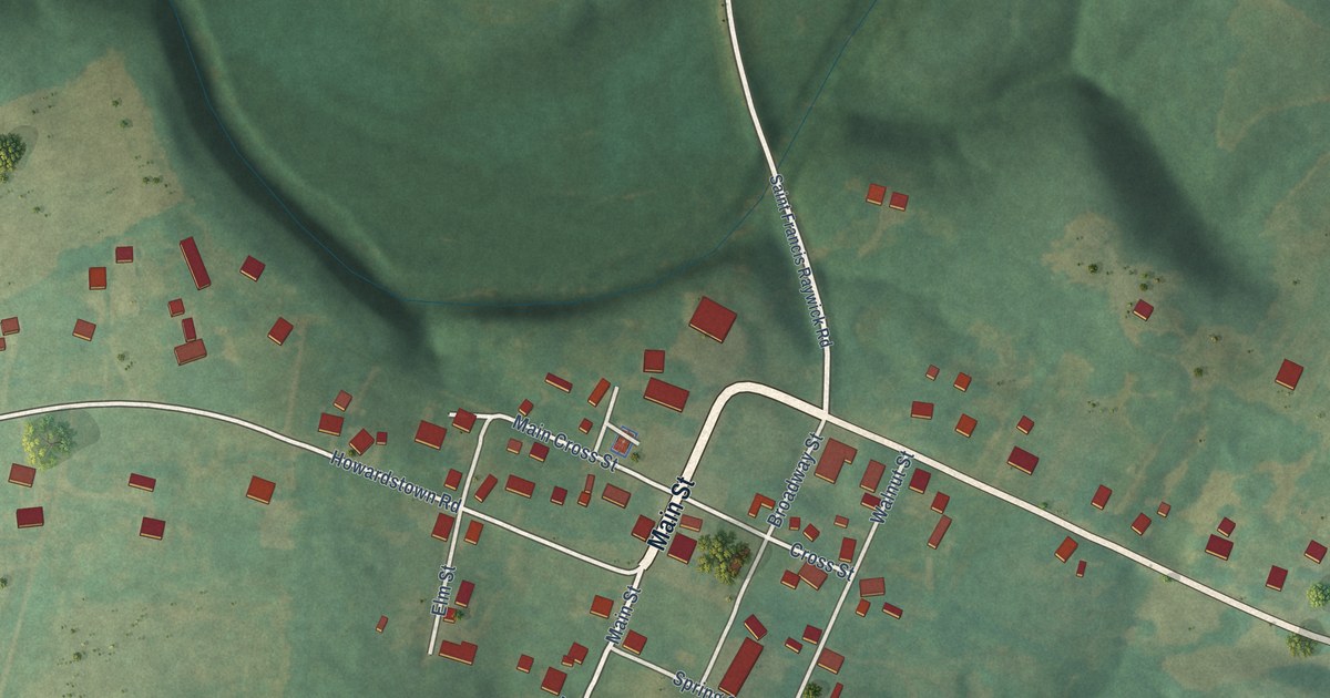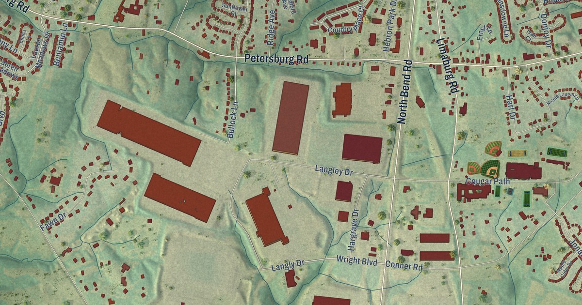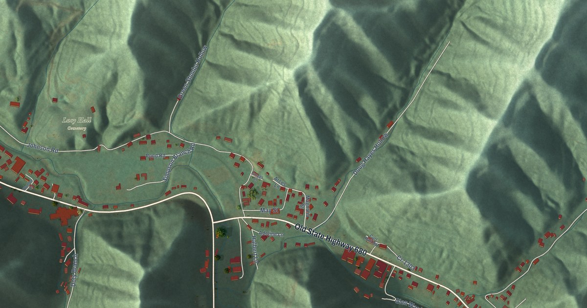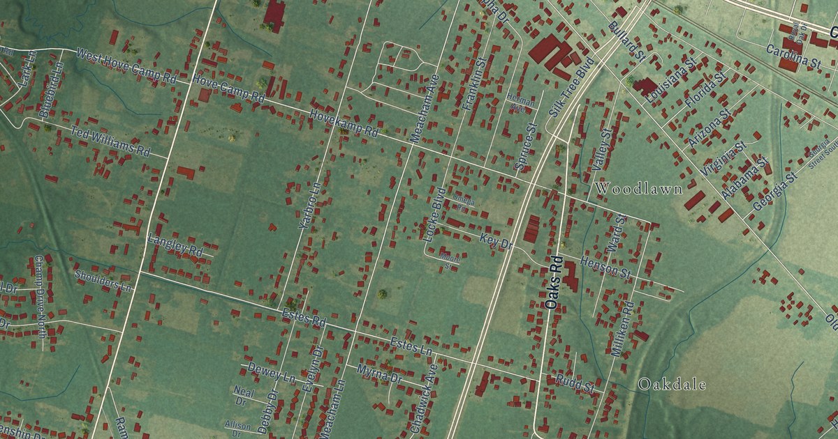
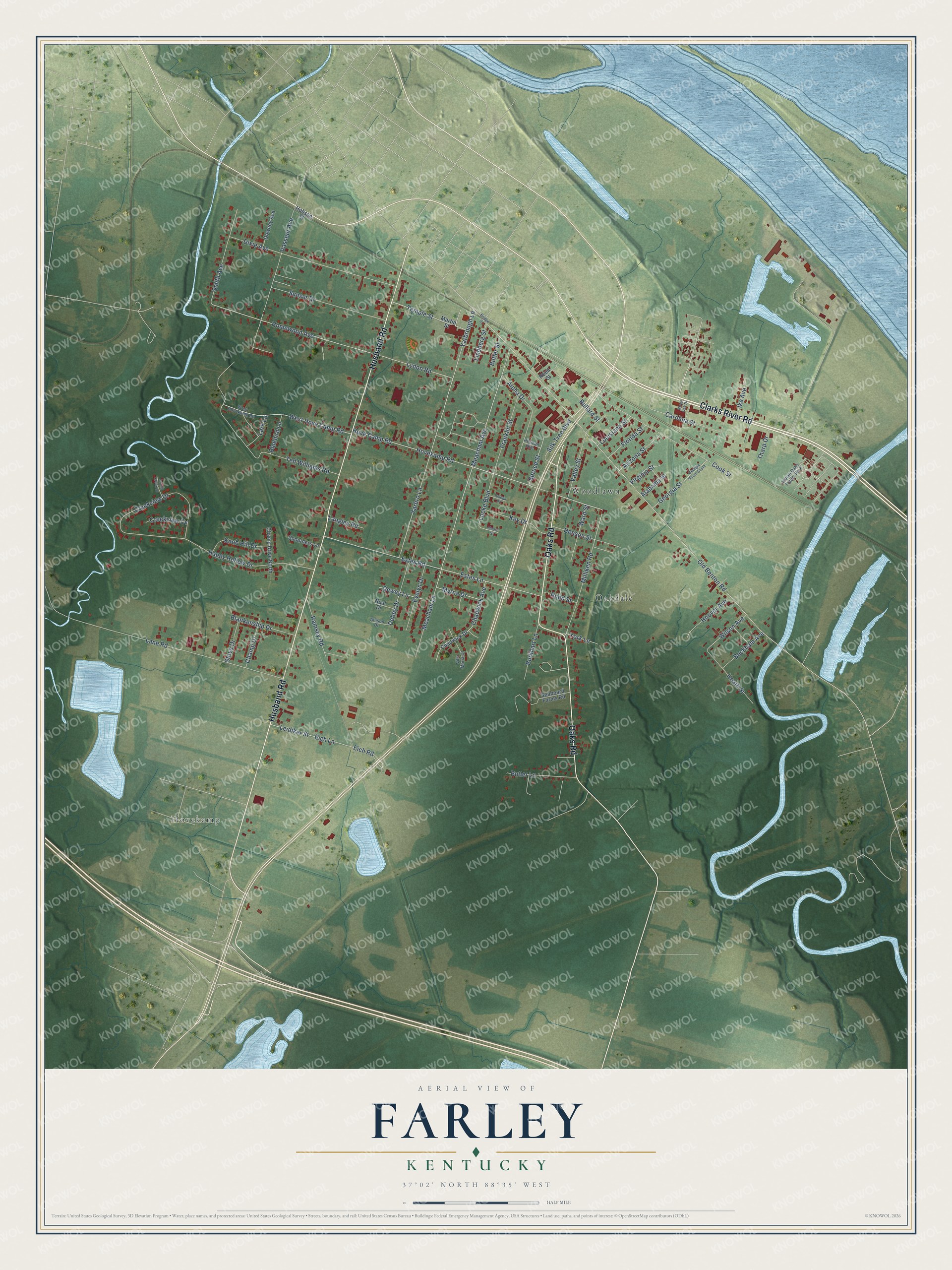
This beautifully detailed map of Farley, Kentucky was created in 2026 using aerial imagery combined with modern topographical, census, street and landmark data. It's a modern aerial view of Farley in McCracken County, Kentucky, that combines modern data with a vintage aesthetic. The roads feature printed names, and if you look closely you can find your exact house accurately shown in its correct location.
Explore an aerial view of Farley, Kentucky
On this map you'll find Oakdale, Hovekamp, Woodlawn, Clarks River Road, Oaks Road, Husband Road, Milliken Road, Hovekamp Road, Silk Tree Boulevard, Meacham Avenue, Locke Boulevard, Temple Street, and more. Each red shape is a building, so zoom in on the preview and look for yours.
Farley is a community in McCracken County. The Census Bureau counted 4,374 people here in 2020. Farley sits about 3 miles northwest of Reidland, 4 miles east of Hendron and 4 miles west of Ledbetter. The map prints the town name in its title panel, with the coordinates below it.
Take a closer look at the Farley map
Names on this map
These names are printed on this map.
Places: Oakdale, Hovekamp, Woodlawn and Indian Oaks Trailer Park.
Streets and roads: Clarks River Road, Oaks Road, Husband Road, Milliken Road, Hovekamp Road, Silk Tree Boulevard, Meacham Avenue, Locke Boulevard, Temple Street, Meacham Lane, Spruce Street, Old Benton Road.
More street names, A to Z
Alabama Street, Allison Drive, Alpha Drive, Arizona Street, Beckham Avenue, Blankenship Drive, Bluebird Lane, Bridge Street, Bullard Street, Burkhart Lane, Butler Lane, Butler Street, Carolina Street, Chadwick Avenue, Chadwick Drive, Champ Drive, Champ Drive North, Cook Street, Creekview Cv, Creekview Drive, Debby Drive, Dewey Lane, Dixie Avenue, Downey Avenue, Eich Lane, Eich Road, Estes Lane, Estes Road, Evelyn Drive, Florida Street, Franklin Street, Georgia Street, Georgia Street South, Happy Hollow Drive, Heath Street, Henson Street, Herman Avenue, Hobson Street, Homewood Avenue, Hoover Avenue, Hove Camp Road, Ike Avenue, Island Creek Drive, Key Drive, Knob Hill Drive, Lane Road, Langley Road, Lark Lane, Leidiker Street, Lindberg Street, Louisiana Street, Lydon Road, Martin Street, Moore Street, Myrna Drive, Neal Drive, Omega Road, Ramsey Road, Reed Street, Royal Oak Drive, Rudd Street, Seaboard Farms Road, Shoulders Lane, Smith Avenue, Steve Drive, Sunset Drive, Ted Williams Road, Tharp Drive, Valley Street, Vasseur Avenue, Villa Maria Court, Virginia Street, Ward Street, West Hove Camp Road, West Hovekamp Road, Wilson Avenue, Yarbro Lane, Yarbrough Lane, York Lane.
See it on a wall
The Farley map as a framed print. Swipe for more.


Created by KNOWOL in 2026. The buildings are small red shapes, the roads carry their printed names, and shaded relief shows the shape of the land. The title panel reads "AERIAL VIEW OF FARLEY, KENTUCKY" with 37°02' NORTH 88°35' WEST.
It looks right in a kitchen, an office or a den, and it's a gift for anyone who grew up in Farley or moved away. Open the preview and find your street. See sizes and frames for the Farley map.