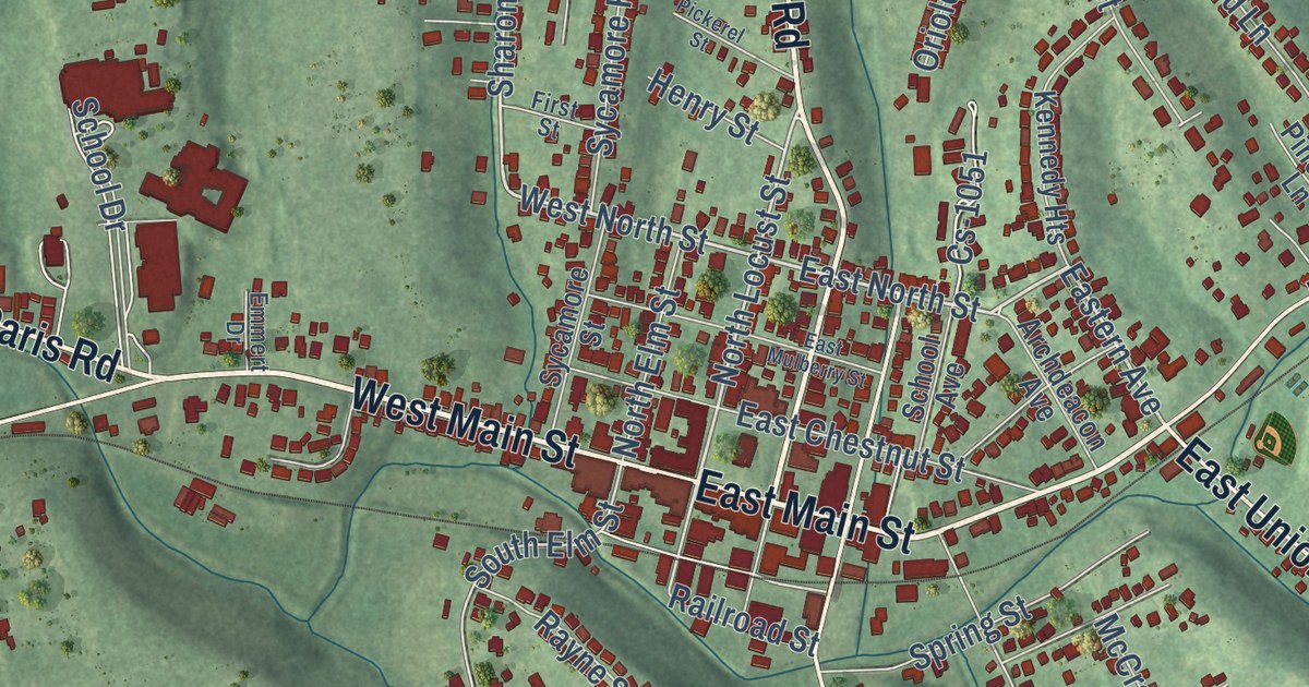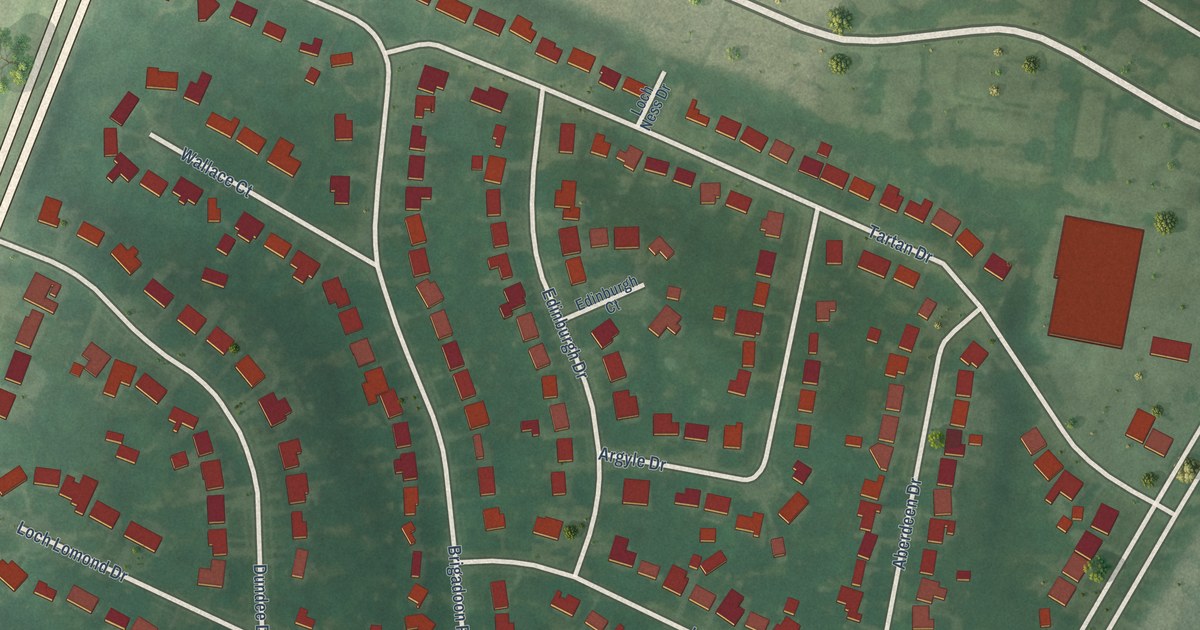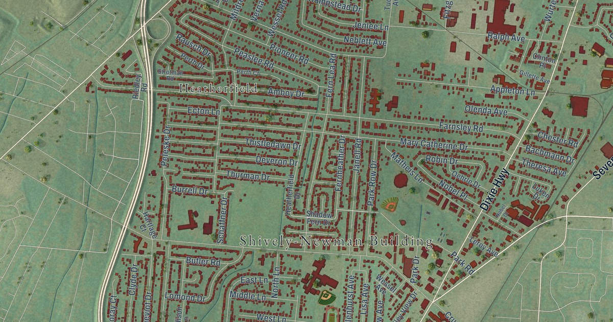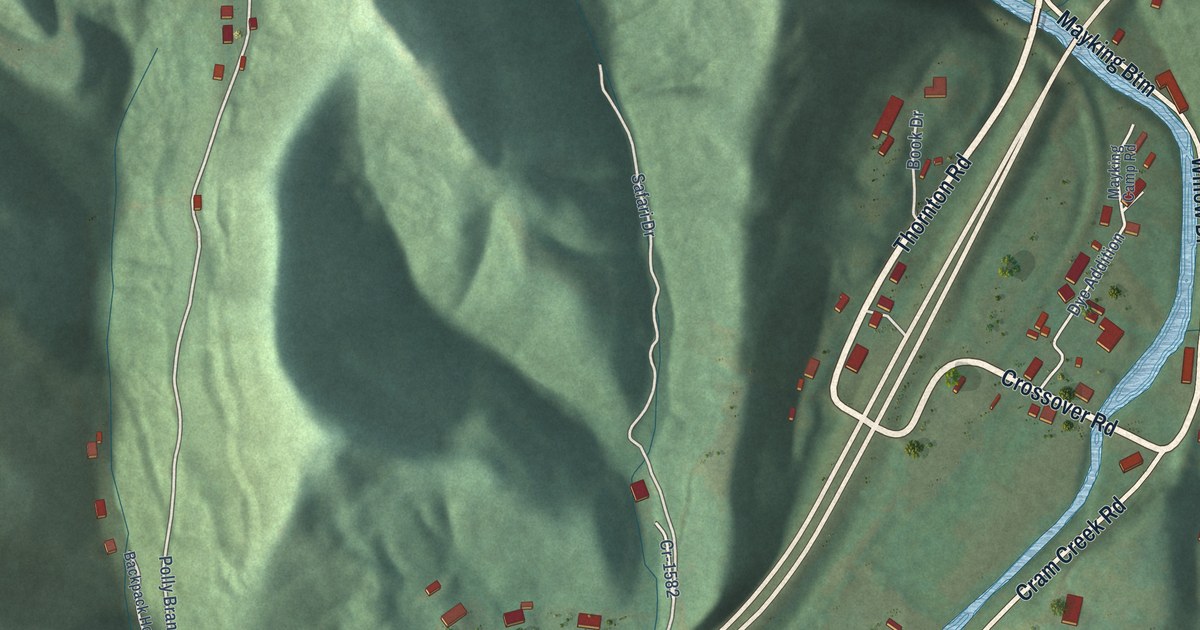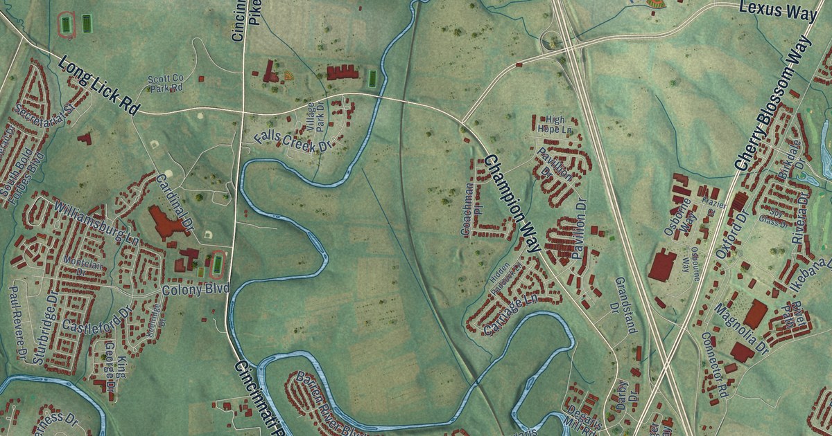
This beautifully detailed map of Georgetown, Kentucky was created in 2026 using aerial imagery combined with modern topographical, census, street and landmark data. It’s a one-of-a-kind view of Georgetown that combines accurate data with a vintage aesthetic. The map shows every building in its true location, many of the roads carry their names, and the shaded topographic relief shows the shape of the land.
Explore an aerial view of Georgetown, Kentucky
On the map you’ll find Cranetown, Delaplain, and Indian Hills, along with Mc Clelland Circle, Cherry Blossom Way, Paris Pike, Cynthiana Road, Frankfort Road, South Broadway Street, Lexington Road, Main Street West, East Main Street, and more. If you look closely you can even find your house accurately drawn in its correct location. Zoom in on the preview to look for yours.
Did you know this piece of Georgetown, Kentucky history?
From the Kentucky Atlas and Gazetteer: "Although the area had a few settlers as early as 1775, the permanent settlement that became Georgetown began in 1776 as McClellan's Fort or McClellan's Station, named for the McClellan family."
Take a closer look at the Georgetown map
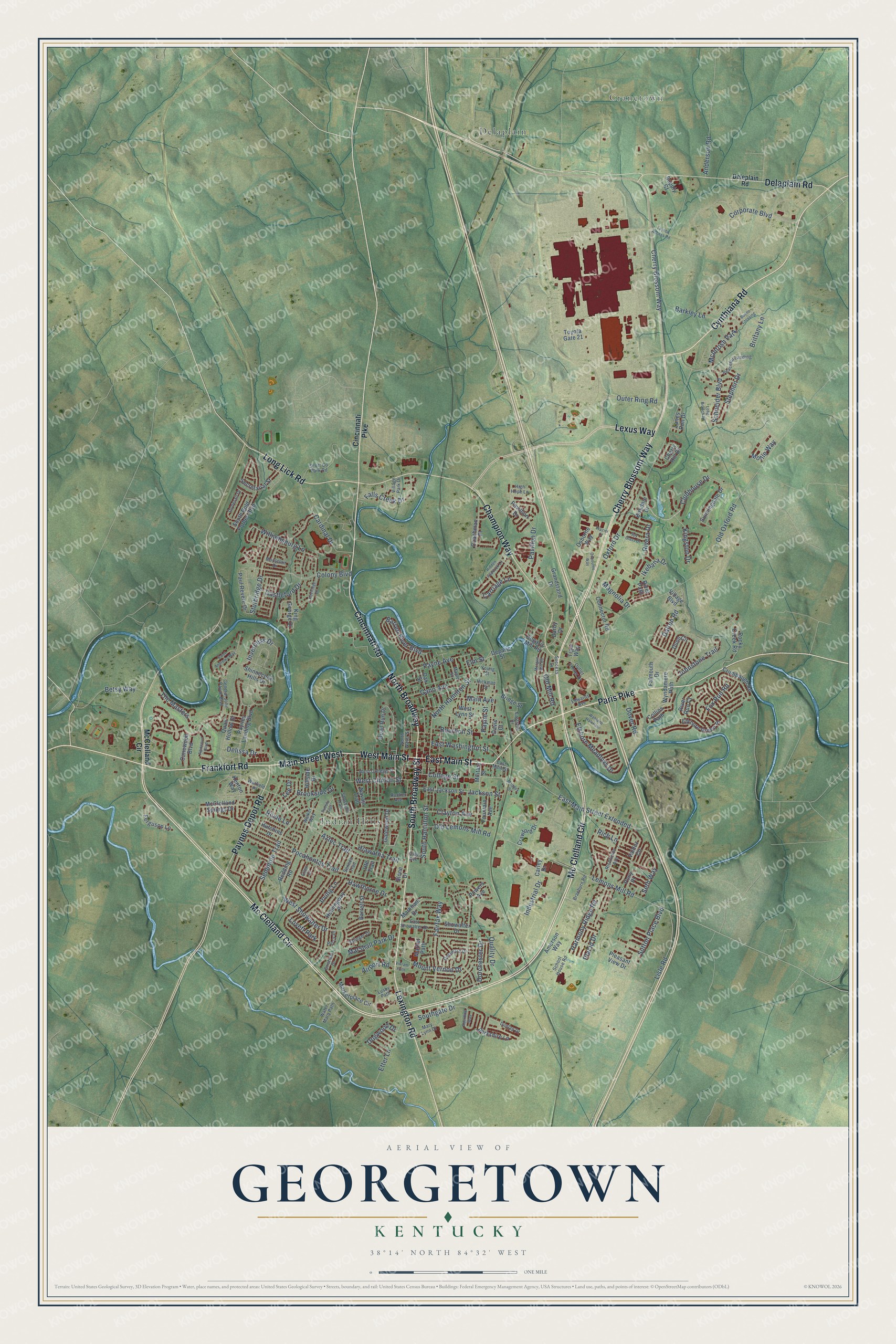
Street and place names on the Georgetown, Kentucky map
These names are printed on the map of Georgetown, Kentucky.
Places: Cranetown, Delaplain, Indian Hills, McIntosh Park and Lovett Park.
Streets and roads: Mc Clelland Circle, Cherry Blossom Way, Paris Pike, Cynthiana Road, Frankfort Road, South Broadway Street, Lexington Road, Main Street West, East Main Street, West Main Street, Cincinnati Road, Lexus Way.
More street names, A to Z
Aberdine Way, Agincourt Boulevard, Airport Road, Amerson Way, Anderson Road, Aztec Trail, Barkley Lane, Barren River Boulevard, Barrett Street, Berkshire Lane, Betsy Way, Birkdale Drive, Bourbon Street, Braeburn Road, Bridge Street, Brittany Lane, Brookside Drive, Bueno Crossing, Canewood Boulevard, Cardinal Drive, Carley Drive, Carriage Lane, Castleford Drive, Champion Way, Cherry Hill Drive, Cincinnati Pike, Clay Avenue, Clayton Avenue, Clubhouse Drive, Coachman Place, College Street, Collins Path, Colony Boulevard, Connector Road, Corporate Boulevard, Crawford Drive, Crumbaugh Road, Dalton Road, Darby Drive, Davis Court, Degaris Mill Road, Degaris Street, Delaplain Road, Delaware Drive, Deleplain Road, Delissa Drive, Dogwood Drive, Donerail Drive, Dorchester Drive, Dover Road, Dunlap Drive, Dunn Circle, East Jackson Street, East Main Street Extended, East Showalter Drive, Eastside Drive, East Washington Street, Edwards Avenue, Elkhorn Green Place, Elkhorn Meadows Drive, Ellen Court, Elm Street, Etter Lane, Fairfax Way, Falls Creek Drive, Falmouth Drive, Ferguson Lane, Fountain Avenue, Fox Run Road, Frazier Court, Gano Avenue, Gatewood Drive, General John Payne Boulevard, Grandstand Drive, Grisham Drive, Harmony Ridge Road, Hawthorne Drive, Hemingway Place, Hiawatha Trail, Hickman Street, Hidden Paddock Lane, High Hope Lane, Hillside Drive, Hutchins Drive, Ikebana Drive, Industrial Drive, Inverness Drive, Irving Lane, Jackson Street, Johnstone Trail, Keelridge Drive, Kenton Way, King George Drive, Kingston Drive, Lanes Run Drive, Lee Drive, Lemons Mill Road, Lisle Road, Long Branch Drive, Long Lick Road, Lusby Path, Maddox Street, Magnolia Drive, Main Avenue, Maple Street, Market Path, Marketplace Circle, Markham Drive, Marshall Park Drive, Mary Lynn Drive, McClelland Circle, McClelland Springs Drive, Military Street, Mollie Way, Montclair Drive, Morgan Mill Road, Mount Vernon Drive, Navajo Trail, North Broadway, North Hamilton Street, North Water Street, Oak Street, Old Lemons Mill Road, Old Mill Road, Old Oxford Road, Osborne Way, Osbourne Way, Outer Ring Road, Outlet Center Drive, Oxford Drive, Paul Revere Drive, Pavilion Drive, Pavillion Drive, Payne Avenue, Paynes Depot Road, Paynes Landing Boulevard, Payne Street, Peaceful Landing, Percy Place, Placid Drive, Pleasant View Drive, Pocahontas Trail, Pony Place, Powers Avenue, Pueblo Trail, Quail Hollow Drive, Quail Run Drive, Quality Drive, Redding Road, Richfields Avenue, Rich Lane, Rivera Drive, River Run Court, Rivet Path, Rocky Creek Road, Roxie Lane, Rucker Avenue, Saint Andrews Way, Salinger Drive, Schneider Boulevard, School House Road, Scott Co Park Road, Secretariat Street, Seminole Trail, Seneca Trail, Seth Way, Shinnecock Hills Drive, Shoshoni Trail, Showalter Drive, Slone Drive, South Bold Forbes Boulevard, Southgate Drive, South Hamilton Street, Spy Glass Drive, Stephen Drive, Sturbridge Drive, Success Drive, Sunningdale Drive, Supply Court, Sutton Place Boulevard, The Masters, Tiger Way, Toyota Access Road, Toyota Gate 21, Ute Trail, Valdez Circle, Vikram Path, Village Boulevard, Village Park Drive, Wahland Hall Path, Walker Way, Warfield Place, Water Marq Path, West Clinton Street, West College Street, West Lynn Street, West Showalter Drive, Williamsburg Lane, Wyndamere Path, Young Street.
See the Georgetown, Kentucky map on a wall
The Georgetown map as an 18 x 24 inch print in a black frame.

This beautifully detailed map of Georgetown makes an attractive addition to your office, library, or den, and it can even be used to teach children the geography and history of the area. It also makes a great gift for anyone with Georgetown roots. When you’re done exploring, click here to get your copy of the Georgetown map.