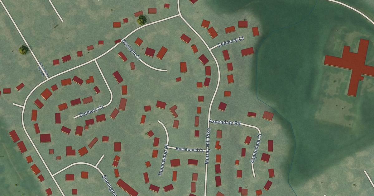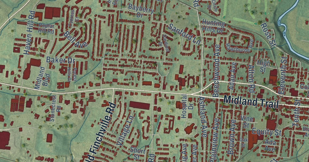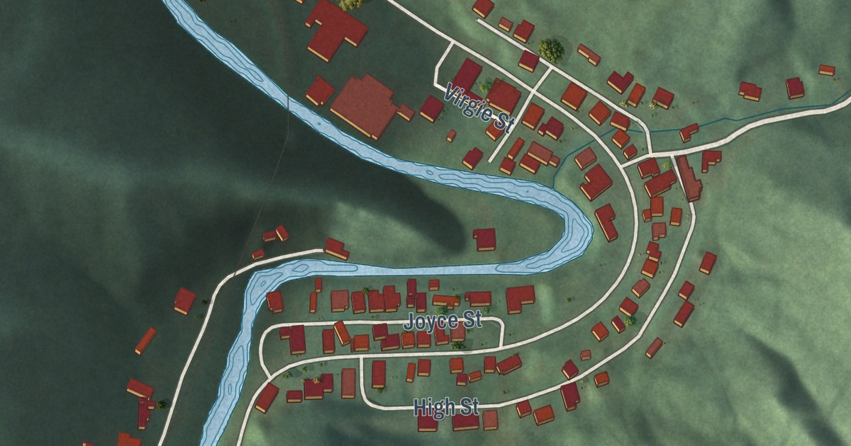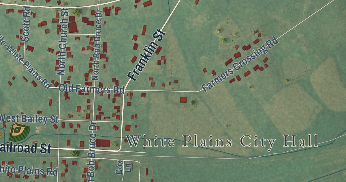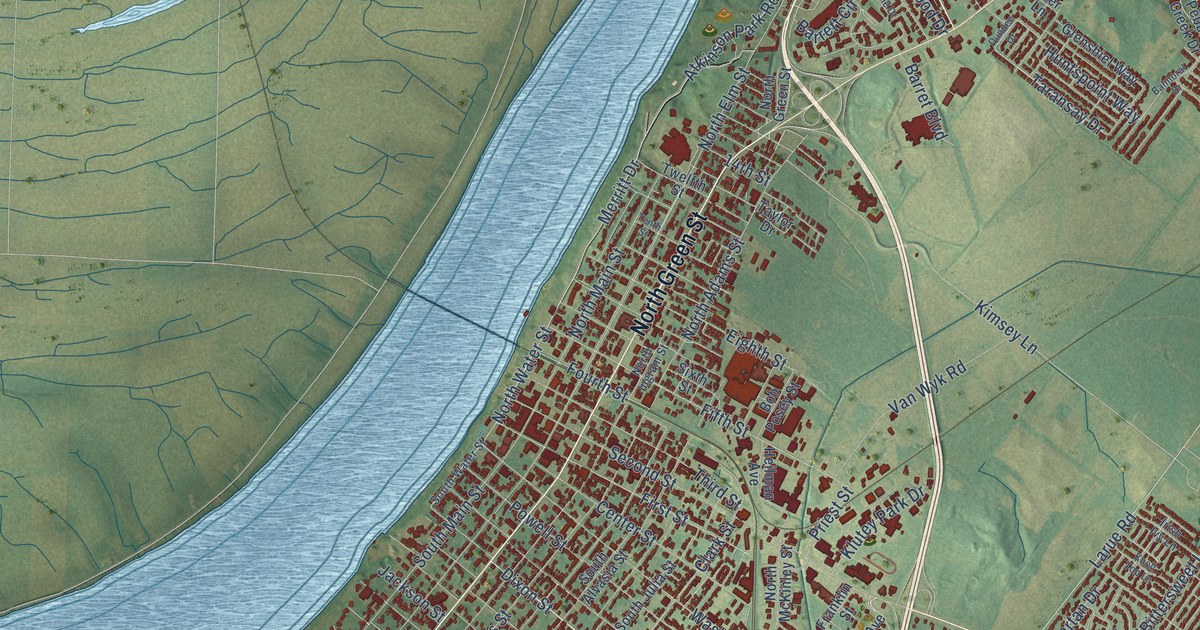
This beautifully detailed map of Henderson, Kentucky was created in 2026 using aerial imagery combined with modern topographical, census, street and landmark data. It’s a one-of-a-kind view of Henderson that combines accurate data with a vintage aesthetic. The map shows every building in its true location, many of the roads carry their names, and the shaded topographic relief shows the shape of the land.
Explore an aerial view of Henderson, Kentucky
On the map you’ll find Weaverton and Finley Addition, along with Sand Lane, Clay Street, South Green Street, Green River Road, Airline Road, Henderson Bypass, North Green Street, Zion Road, Old Madisonville Road, Madison Street, and more. If you look closely you can even find your house accurately drawn in its correct location. Zoom in on the preview to look for yours.
Did you know this piece of Henderson, Kentucky history?
From the Kentucky A Guide to the Bluegrass State: "The first settlement, made in and around the old stockaded village of Red Banks, was named for Col. Richard Henderson, leader of the company."
Take a closer look at the Henderson map
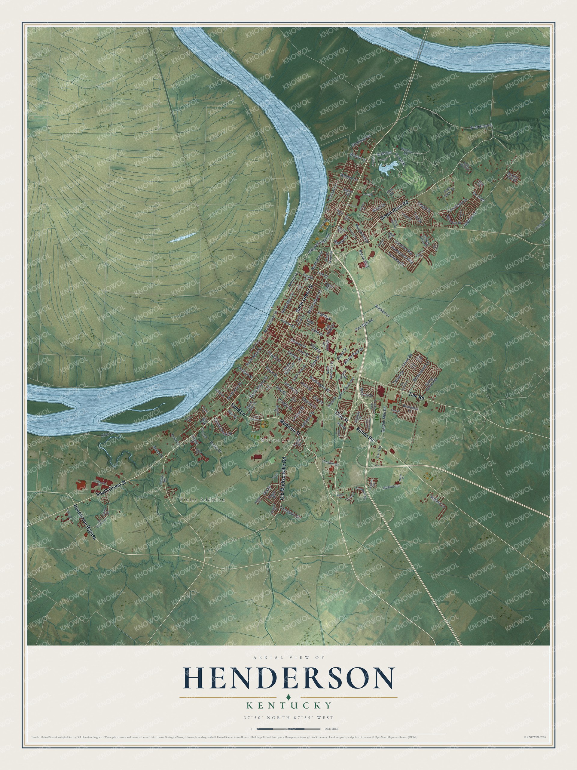
Street and place names on the Henderson, Kentucky map
These names are printed on the map of Henderson, Kentucky.
Places: Weaverton and Finley Addition.
Streets and roads: Sand Lane, Clay Street, South Green Street, Green River Road, Airline Road, Henderson Bypass, North Green Street, Zion Road, Old Madisonville Road, Madison Street, Merritt Drive, Obyrne Street.
More street names, A to Z
14th Street, Adams Lane, Arbor Drive, Atkinson Park Road, Atkinson Street, Balmoral Drive, Barker Road, Barret Boulevard, Barrett Boulevard, Barrett Circle, Belle Wood Drive, Bend Gate Road, Bittersweet Lane, Bob Posey Street, Borax Drive, Braxton Park Drive, Briarpatch Lane, Bruce Street, Canoe Creek Drive, Carriage Drive, Carter Drive, Center Street, Clark Street, Collier Road, Comanche Drive, Community Drive, Congress Avenue, Constanza Drive, Cresline Drive, Cs-1003, Cs-1110, Cs-1117, Cs-1230, Cs-1295, Cs-1383, Deer Lane, Dixon Street, Drury Lane, Dundee Drive, Dylan Circle, East Fox Hollow Run, Edds Avenue, Eighth Street, Fair Street, Field Stone Drive, Fifth Street, First Street, Fourth Street, Franklin Street, Garden Mile Road, Glenshiel Way, Glover Drive, Gregory Drive, Gum Street, Hallway Drive, Heilman Avenue, Helm Street, Hicks Street, Huntspoint Way, Ilex Drive, Irish Ivy Lane, Ironwood Drive, Jackson Street, Janalee Drive, Kimsey Lane, Klutey Park Drive, Knoll Top Lane, Kresge Drive, Larue Road, Letcher Street, Locust Drive, Mallard Lane, Marie Place, Market Street, Marywood Drive, Melwood Drive, Millcreek Drive, North Adams Street, North Elm Street, North Ingram Street, North Lincoln Avenue, North Main Street, North McKinley Street, North Water Street, Oakcrest Drive, Obryne Street, Ohio Drive, Old Corydon Road, Old Orchard Lane, Osage Drive, Park Drive, Pebble Creek Drive, Peggy Drive, Plum Street, Pond Street, Porter Drive, Powell Street, Priest Street, Pringle Street, Red Bird Lane, Reid Drive, Rettig Road, Rocks Drive, Russell Drive, Second Street, Sixth Street, South Adams Street, South Alvasia Street, South Alves Street, South Arlington Drive, South Elm Street, South Julia Street, South Main Street, South Parkway Street, South Water Street, Spring Garden Road, Stadium Drive, Stratman Road, Summit Drive, Sunset Lane, Sutton Drive, Taransay Drive, Tartan Drive, Taylor Drive, Tenth Street, Third Street, Tillman-Bethel Road, Trail Drive, Turnagain Drive, Twelfth Street, Van Wyk Road, Village Drive, Vine Street, Walnut Lane, Warbler Road, Washington Street, Wathen Lane, Watson Lane, Wolf Hills Road, Wood Drive.
See the Henderson, Kentucky map on a wall
The Henderson map as an 18 x 24 inch print in a black frame.

This beautifully detailed map of Henderson makes an attractive addition to your office, library, or den, and it can even be used to teach children the geography and history of the area. It also makes a great gift for anyone with Henderson roots. When you’re done exploring, click here to get your copy of the Henderson map.