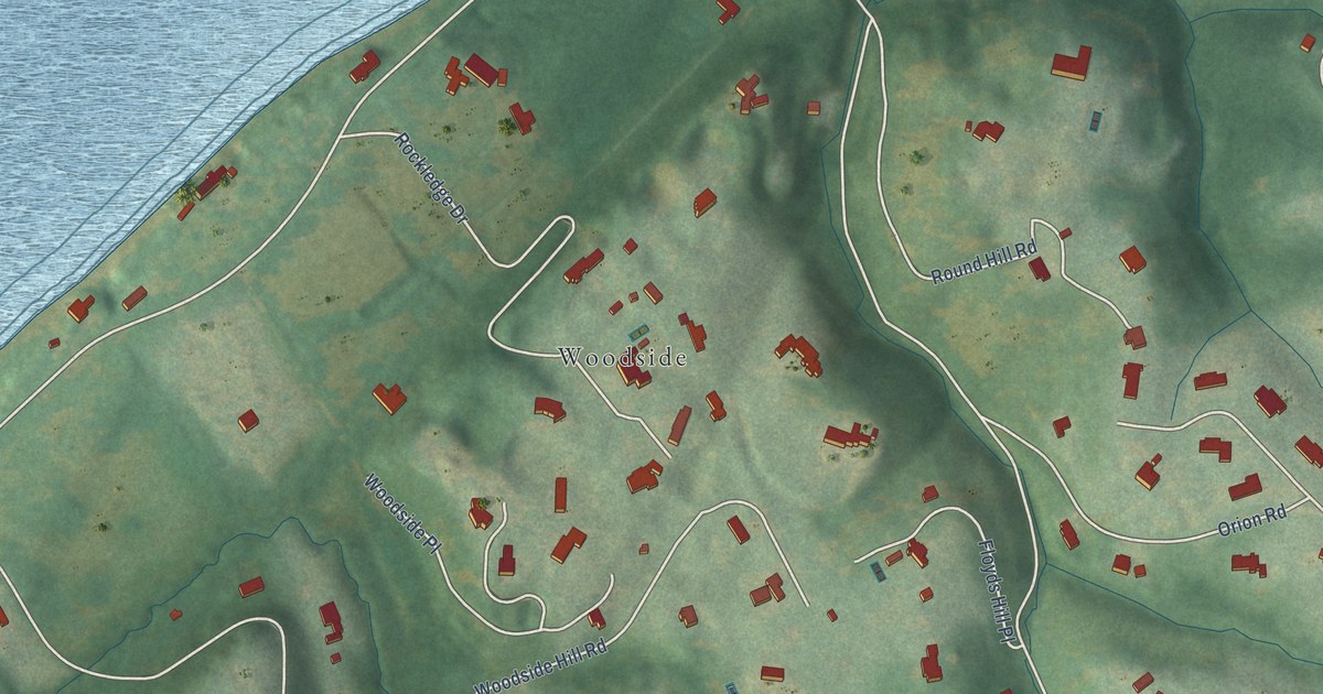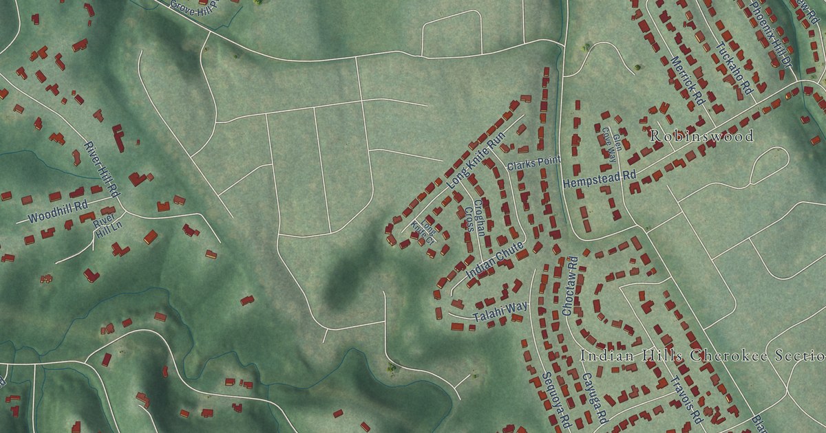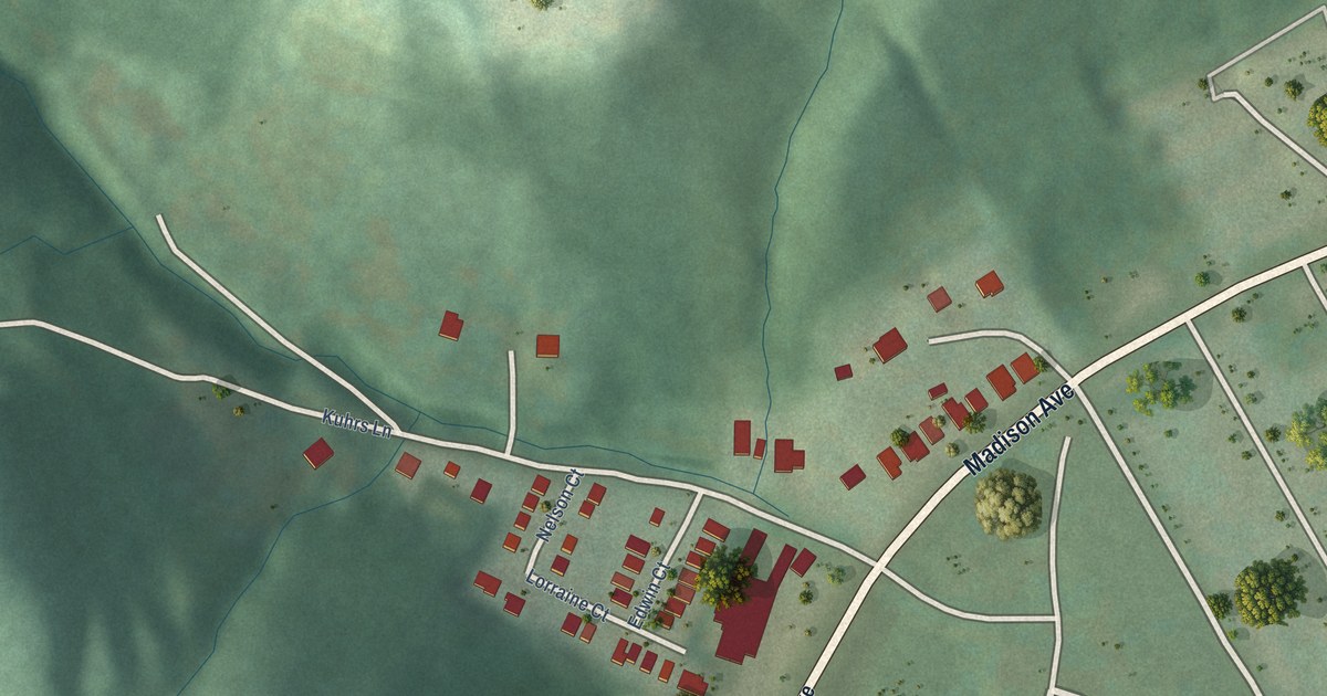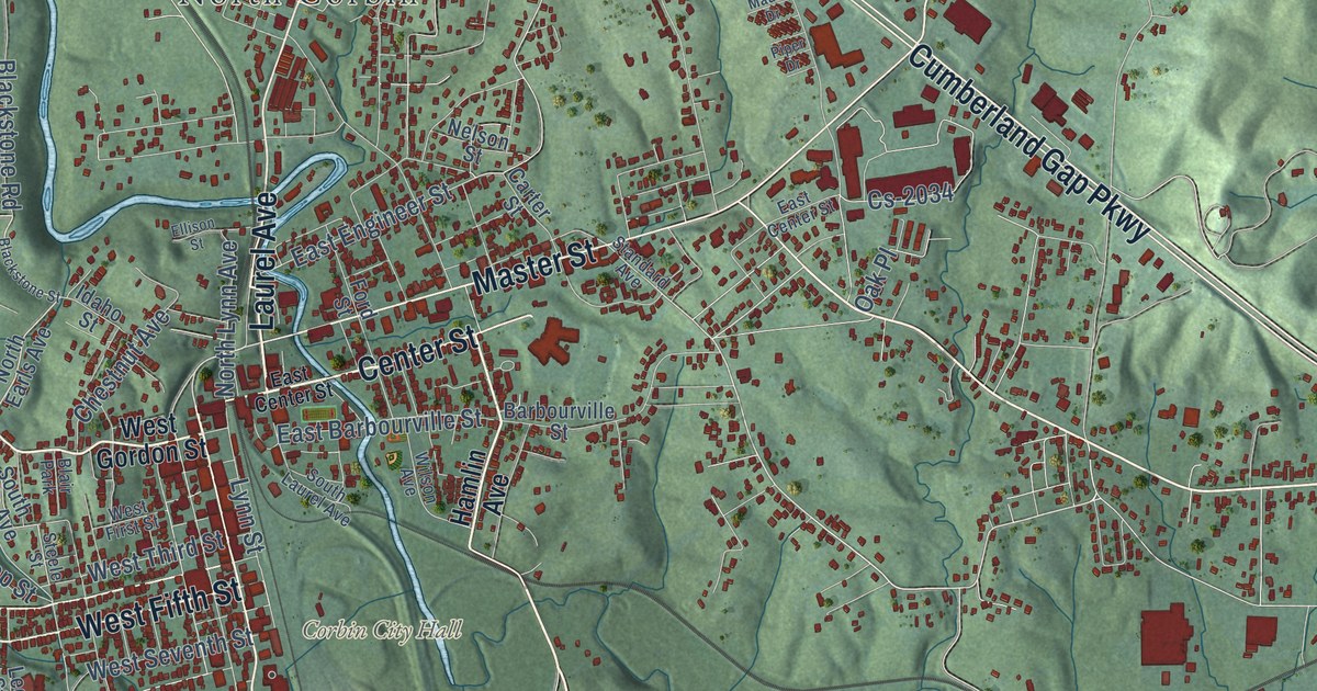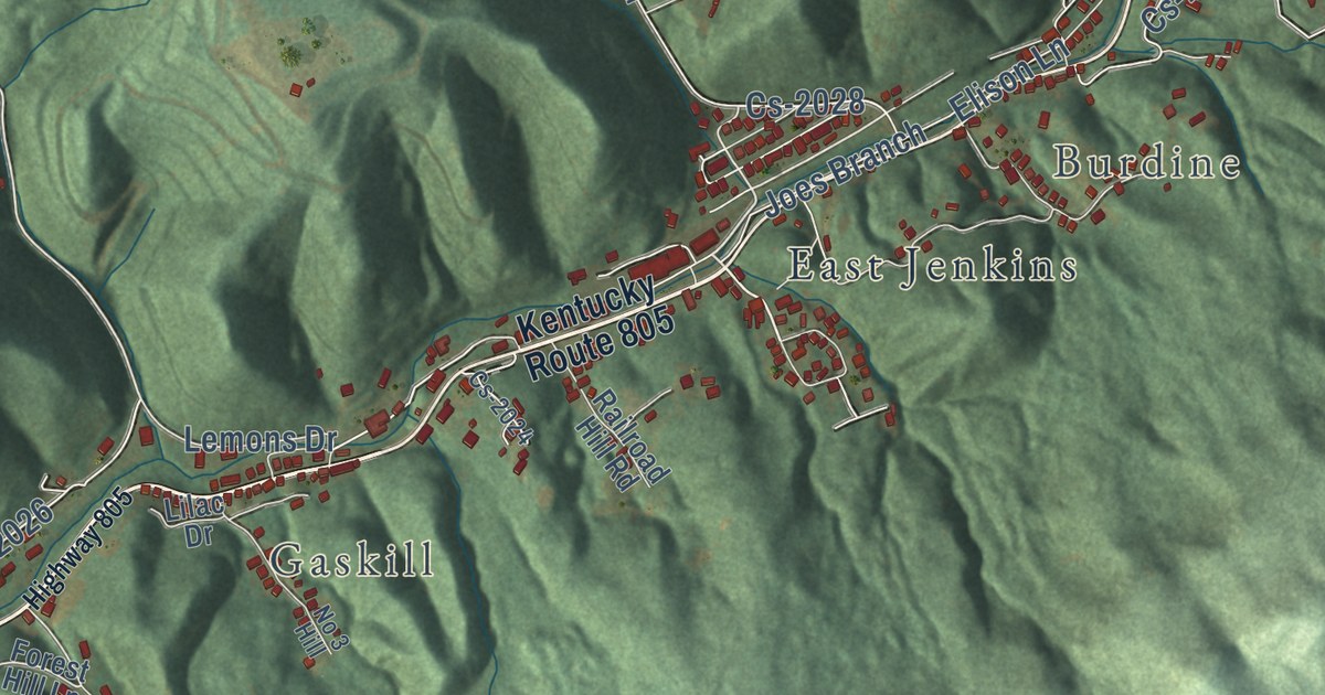
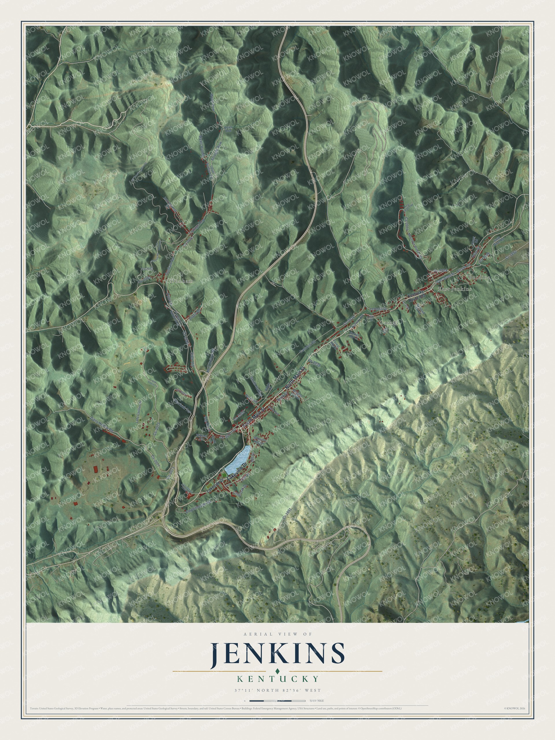
This beautifully detailed map of Jenkins, Kentucky was created in 2026 using aerial imagery combined with modern topographical, census, street and landmark data. It’s a one-of-a-kind view of Jenkins that combines accurate data with a vintage aesthetic. The map shows every building in its true location, many of the roads carry their names, and the shaded topographic relief shows the shape of the land.
Explore an aerial view of Jenkins, Kentucky
On the map you’ll find Dunham, Gaskill, Burdine, East Jenkins, Cr-1891, Joes Branch, and Cs-2026, along with North Main Street, South Main Street, Lakeview Drive, Elison Lane, Camden Road, and more. If you look closely you can even find your house accurately drawn in its correct location. Zoom in on the preview to look for yours.
Did you know this piece of Jenkins, Kentucky history?
The Consolidation Coal Company bought the land in 1911 and built Jenkins from scratch. It named the town for George C. Jenkins, one of its directors. Nine sawmills and two brickyards turned out the homes. Jenkins was incorporated on January 9, 1912.
Take a closer look at the Jenkins map
Street and place names on the Jenkins, Kentucky map
These names are printed on the map of Jenkins, Kentucky.
Places: Dunham, Gaskill, Burdine and East Jenkins.
Streets and roads: North Main Street, South Main Street, Lakeview Drive, Cr-1891, Joes Branch, Elison Lane, Camden Road, Cs-2026, Lemons Drive, Cs-2072, Dairy Hollow Road, Cs-2077.
More street names, A to Z
Abner Road, Adas Drive, Amphitheater Road, Bens Branch Road, Big Elk Drive, Brick Street, Cheyenne Road, Cottage Row, Cove Avenue, Cr-1892, Cs-2005, Cs-2014, Cs-2024, Cs-2028, Cs-2039, Cs-2073, Cs-2076, Cs-2077-20, Cs-2082, Cs-2084, Cs-2091, Cs-2093, Cs-2107, Curry Lane, Dunham Road, Elm Street, Forest Hill Circle, Forest Hill Lane, Golf Course Lane, Highway 805, Hill Street, Improvement Circle, Kentucky Route 805, Lady Cavilier Drive, Lakeside Drive, Lilac Drive, Link Hollow Road, Little Elkhorn Creek Road, Little Oak Drive, Mc Roberts-Jenkins Road, Mountain Breeze Road, No 3 Hill, No 4 Hill, No 5 Hollow Road, Oak Street, Overlook Terrace, Pine Lane, Premier Subdivision, Profit Road, Quiet Row, Railroad Hill Road, Robin Lane, Slate Hill, Smith Hollow, Straight Row, Swift River Road, Upper Dunham Road, Wheaton Hollow, William Circle, Wrights Hollow, Wyatt Hollow, Wyatt Row.
See the Jenkins, Kentucky map on a wall
The Jenkins map as an 18 x 24 inch print in a black frame.

This beautifully detailed map of Jenkins makes an attractive addition to your office, library, or den, and it can even be used to teach children the geography and history of the area. It also makes a great gift for anyone with Jenkins roots. When you’re done exploring, click here to get your copy of the Jenkins map.