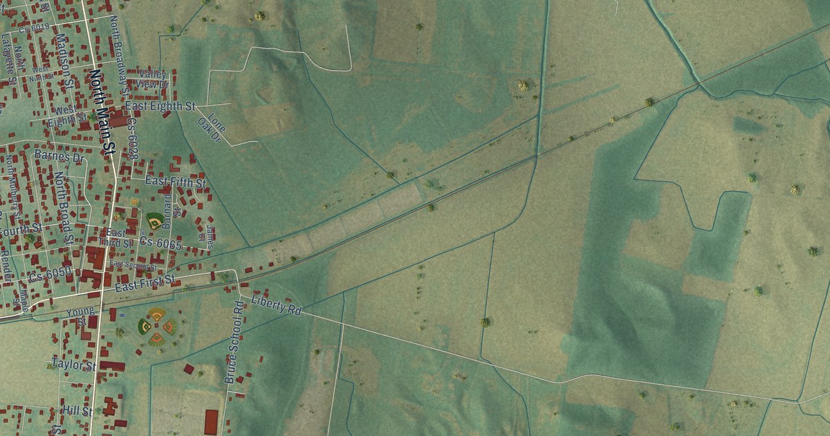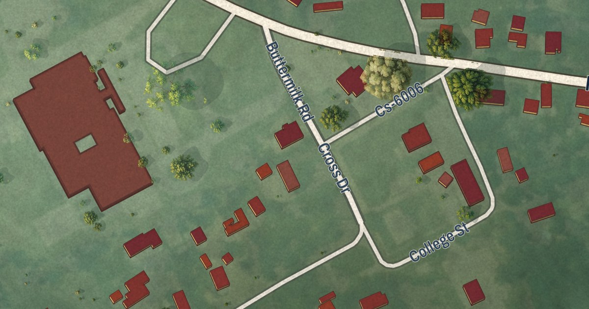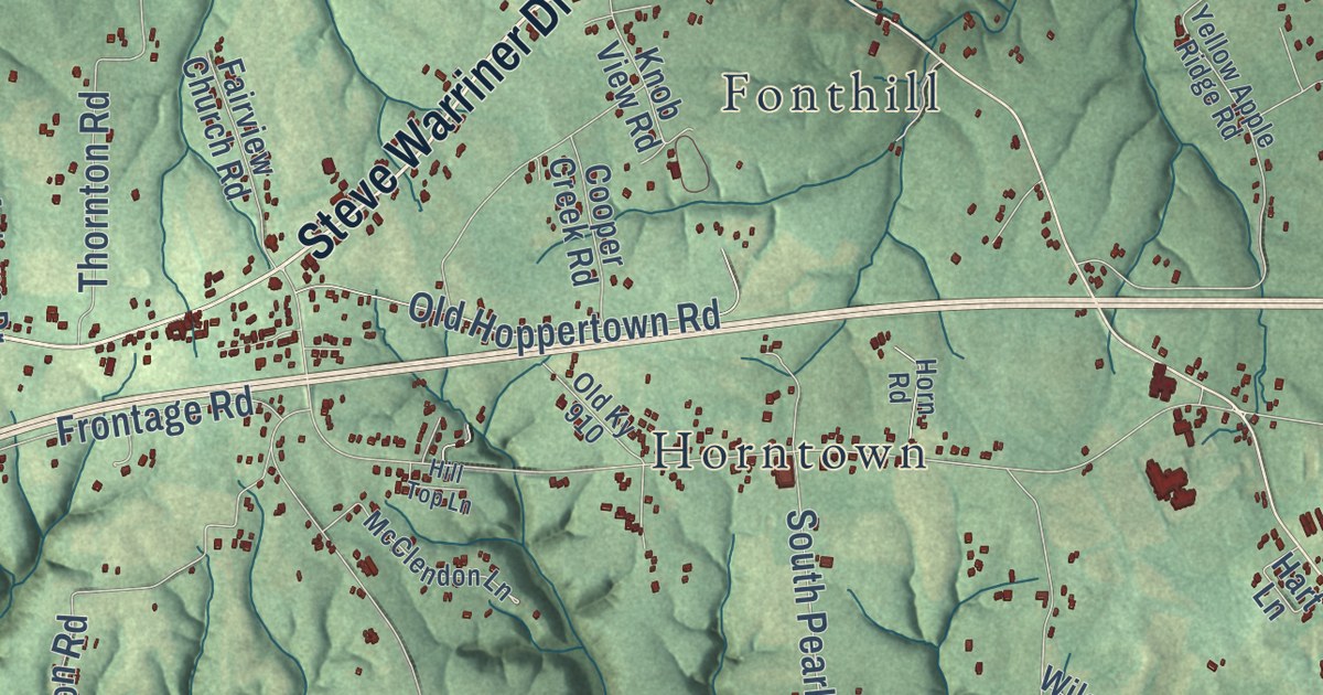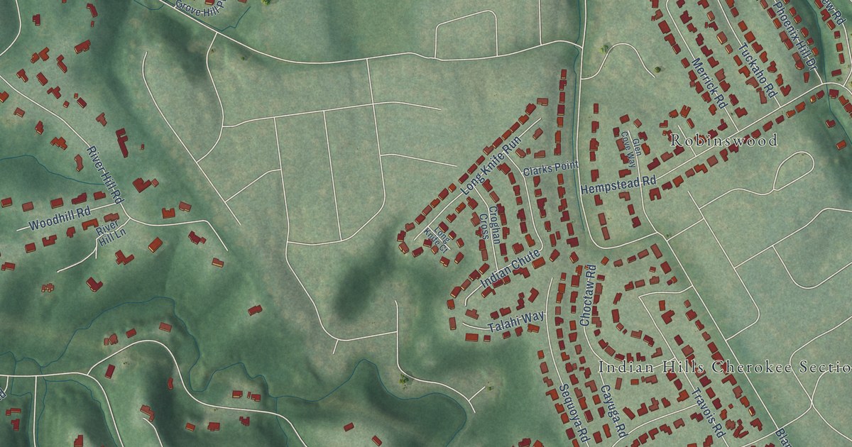
This beautifully detailed map of Indian Hills, Kentucky was created in 2026 using aerial imagery combined with modern topographical, census, street and landmark data. It’s a one-of-a-kind view of Indian Hills that combines accurate data with a vintage aesthetic. The map shows every building in its true location, many of the roads carry their names, and the shaded topographic relief shows the shape of the land.
Explore an aerial view of Indian Hills, Kentucky
On the map you’ll find Caperton Swamp, Indian Hills Cherokee Section, Merrifield, Robinswood, and Winding Falls, along with Brownsboro Road, River Hill Road, Moccasin Trail, Warrior Road, Old Brownsboro Road, Rio Vista Drive, Indian Hills Trail, and more. If you look closely you can even find your house accurately drawn in its correct location. Zoom in on the preview to look for yours.
Did you know this piece of Indian Hills, Kentucky history?
From the City of Indian Hills: "Indian Hill Farm originally was composed of 502 acres and was held in the Veech family for 118 years through six generations."
Take a closer look at the Indian Hills map
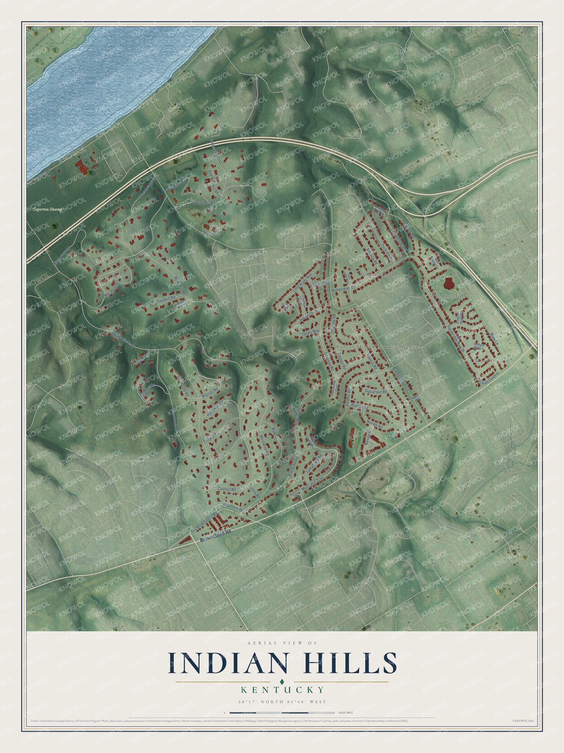
Street and place names on the Indian Hills, Kentucky map
These names are printed on the map of Indian Hills, Kentucky.
Places: Caperton Swamp, Indian Hills Cherokee Section, Merrifield, Robinswood and Winding Falls.
Streets and roads: Brownsboro Road, River Hill Road, Moccasin Trail, Warrior Road, Old Brownsboro Road, Rio Vista Drive, Indian Hills Trail, Blankenbaker Lane, Westwind Road, Arrowhead Road, Travois Road, Rudy Lane.
More street names, A to Z
Apache Road, Bainbridge Row Drive, Ballard Mill Lane, Bell Tavern Court, Bow Lane, Calumet Road, Cayuga Road, Choctaw Road, Clarks Point, Comanche Trail, Council Road, Croghan Cross, Croghan House Drive, Dale Road, Eastwind Road, Fallsview Road, Glen Cove Way, Grove Hill Place, Hackney Coach Drive, Hempstead Road, Indian Chute, Indian Crest Road, Long Knife Court, Long Knife Run, Merrick Road, Moccasin Court, Navajo Court, Navajo Road, Northwind Road, Phoenix Hill Court, Phoenix Hill Drive, Poplar Crest Road, Poplar Hill Court, Poplar Hill Road, Poplar Hill Woods, Pueblo Road, River Bluff Road, River Hill Lane, River Road, Sagamore Road, Sequoya Road, Signal Hill Road, Southwind Road, Stonebridge Road, Talahi Way, Tepee Road, Tomahawk Road, Totem Road, Tribal Road, Tuckaho Road, Wampum Road, Woodhill Road.
See the Indian Hills, Kentucky map on a wall
The Indian Hills map as an 18 x 24 inch print in a black frame.

This beautifully detailed map of Indian Hills makes an attractive addition to your office, library, or den, and it can even be used to teach children the geography and history of the area. It also makes a great gift for anyone who grew up in Indian Hills or moved away. When you’re done exploring, click here to get your copy of the Indian Hills map.