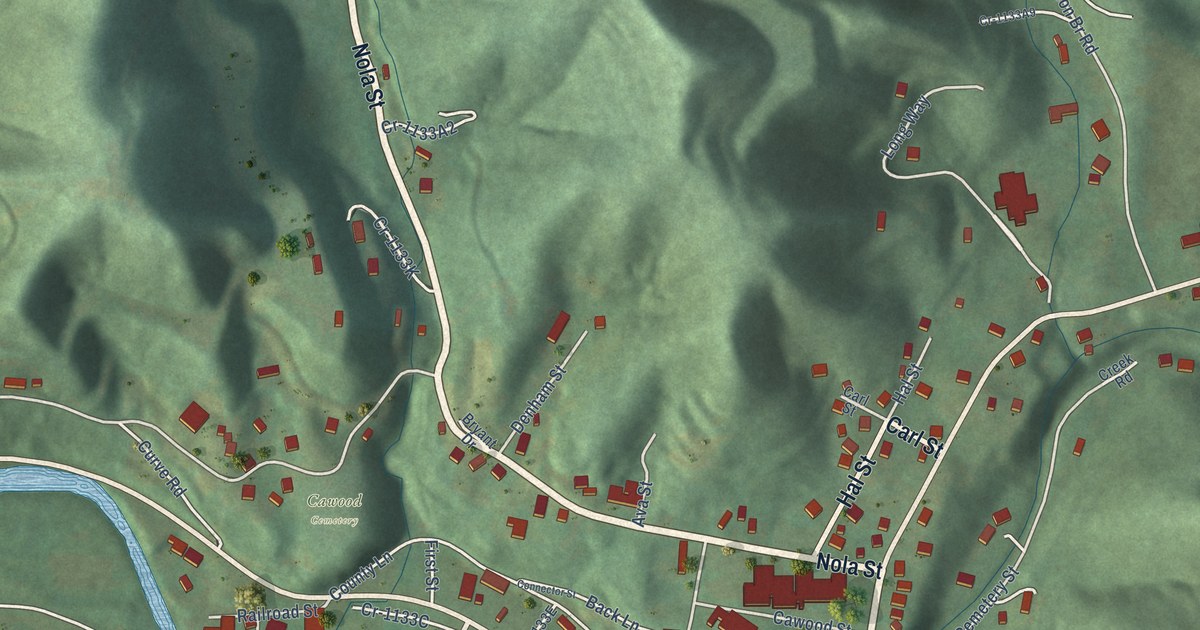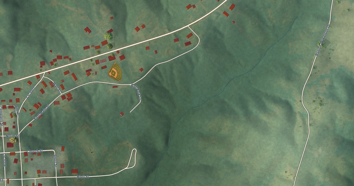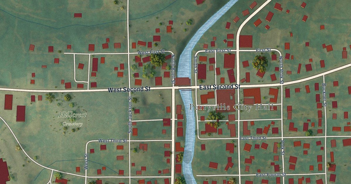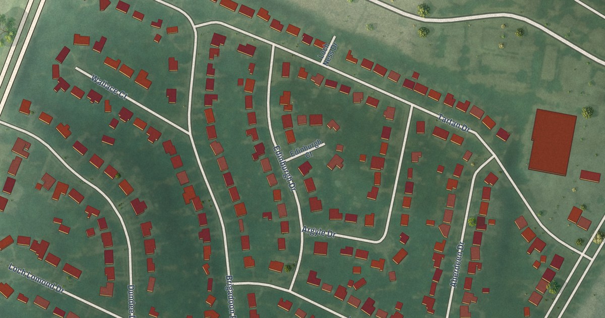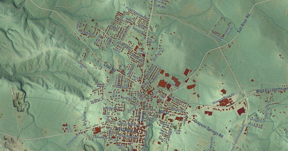
This beautifully detailed map of Leitchfield, Kentucky was created in 2026 using aerial imagery combined with modern topographical, census, street and landmark data. It’s a one-of-a-kind view of Leitchfield that combines accurate data with a vintage aesthetic. The map shows every building in its true location, many of the roads carry their names, and the shaded topographic relief shows the shape of the land.
Explore an aerial view of Leitchfield, Kentucky
On the map you’ll find Mill Street, West Elizabethtown Road, Beaver Dam Road, West White Oak Street, South Main Street, Brandenburg Road, Salt River Road, Grayson Springs Road, Lilac Road, West Main Street, Mulberry Street, Floyd Street, and more. If you look closely you can even find your house accurately drawn in its correct location. Zoom in on the preview to look for yours.
Did you know this piece of Leitchfield, Kentucky history?
From the Kentucky Atlas and Gazetteer: "Leitchfield, the seat of Grayson county, is located near the center of the county on US 62 just north of the Western Kentucky Parkway. The town was established in 1810 on land donated by the widow of David Leitch and named for him."
Take a closer look at the Leitchfield map
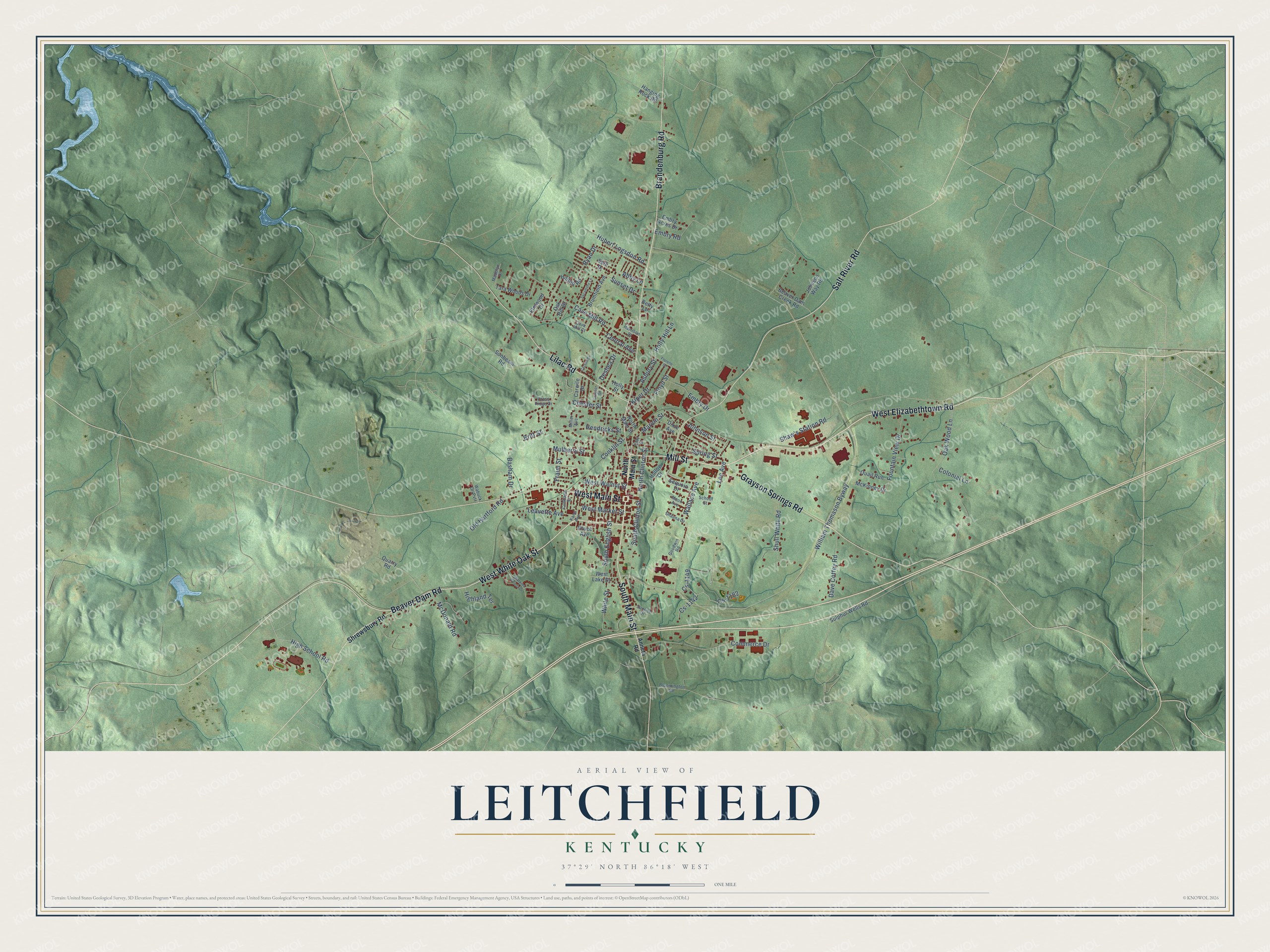
Street names on the Leitchfield, Kentucky map
These names are printed on the map of Leitchfield, Kentucky.
Streets and roads: Mill Street, West Elizabethtown Road, Beaver Dam Road, West White Oak Street, South Main Street, Brandenburg Road, Salt River Road, Grayson Springs Road, Lilac Road, West Main Street, Mulberry Street, Floyd Street.
More street names, A to Z
Abby Lane, Anneta Road, Asbury Street, Basham Drive, Beaver Dam Creek Road, Betty Lane, Bloomington Road, Britt Street, Bruce Avenue, Brumfield Avenue, Carson Drive, Carwile Drive, Cave Mill Court, Cave Mill Road, Central Avenue, Chester Street, Clay Street, Colonial Lane, Commerce Drive, Conklin Street, Cross Ridge Drive, Cs-1142, Cs-1149, Cs-1182, Cubbage Street, Dave Coffey Road, Deshea Drive, Dixie Avenue, Elmwood Drive, Embry Acres Drive, Embry Drive, Embry Road, Florene Street, Fountain View Drive, Fraim Street, Goodwin Road, Grayson Street, Hanging Rock Road, Harrison Street, Hendricks Street, Highland Terrace, High School Road, Hilltop Road, Hollow Drive, Holly Hill Lane, Holly Street, Hubert Logsdon Road, Johnson Street, Johnson Way Road, Kane Avenue, Kiper Drive, Leavette Avenue, Lee Avenue, Madelyn Drive, Marion Street, McDonald Road, McKinney Drive, Miller Avenue, Moon Avenue, North Clinton Street, North Main Street, Oak Hill Drive, Oak Wood Lane, Old Hartford Road, Quail Run, Quarry Road, Ryan Drive, School Street, Sequoia Drive, Seth Drive, Shauna Drive, Shaw's Station Road, Shrewsbury Road, Shull White Road, South Clinton Street, South English Street, Spring Street, Sulphur Wells Road, Sunbeam Road, Sunrise Drive, Sunset Drive, Sycamore Lane, Tara Woods Drive, Wallace Avenue, Watkins Woods Drive, West Lake Drive, West Market Street, West Walnut Street, White Street, William Thomason Byway.
See the Leitchfield, Kentucky map on a wall
The Leitchfield map as an 18 x 24 inch print in a black frame.

This beautifully detailed map of Leitchfield makes an attractive addition to your office, library, or den, and it can even be used to teach children the geography and history of the area. It also makes a great gift for anyone who grew up in Leitchfield or moved away. When you’re done exploring, click here to get your copy of the Leitchfield map.