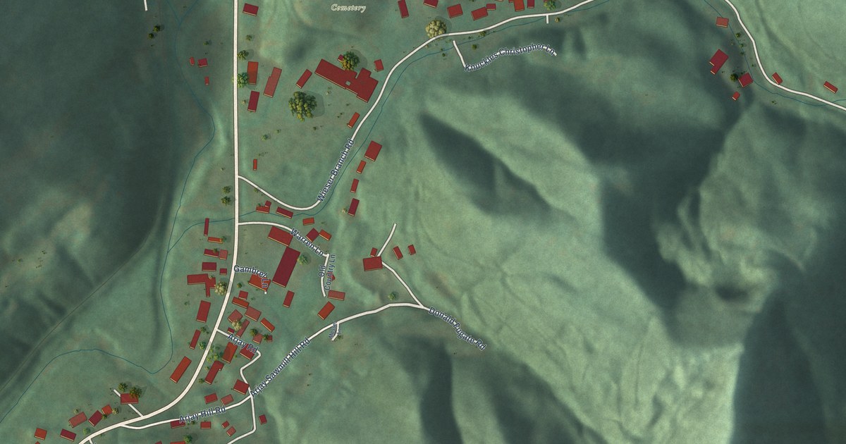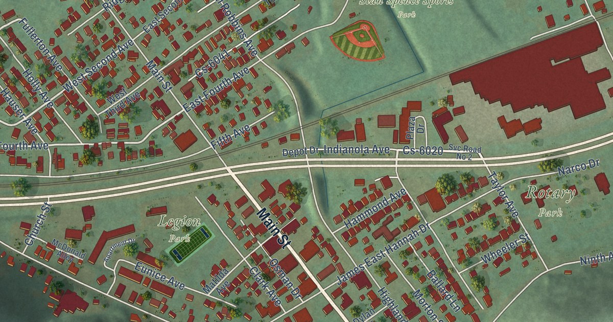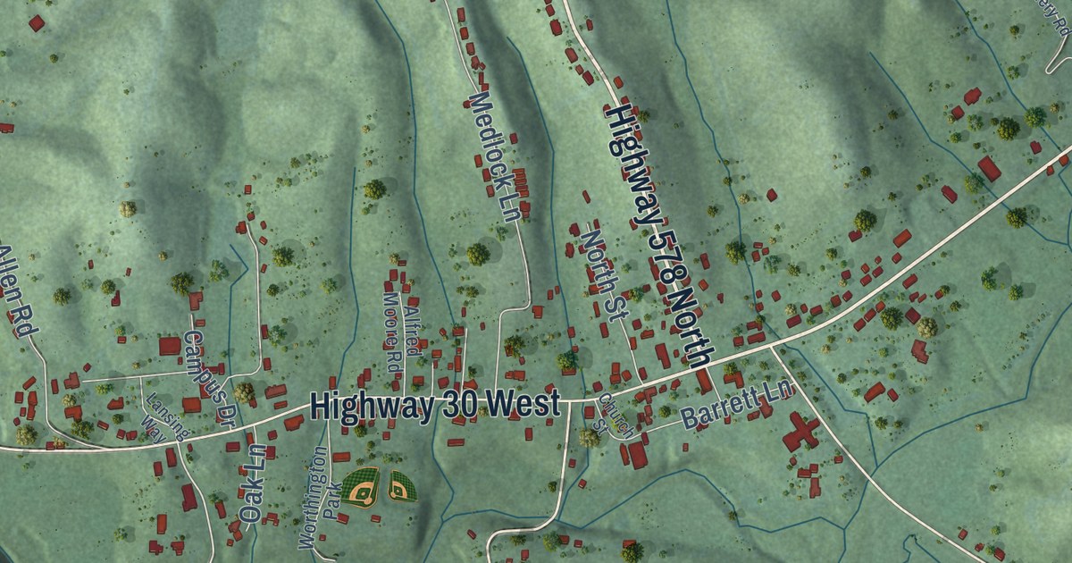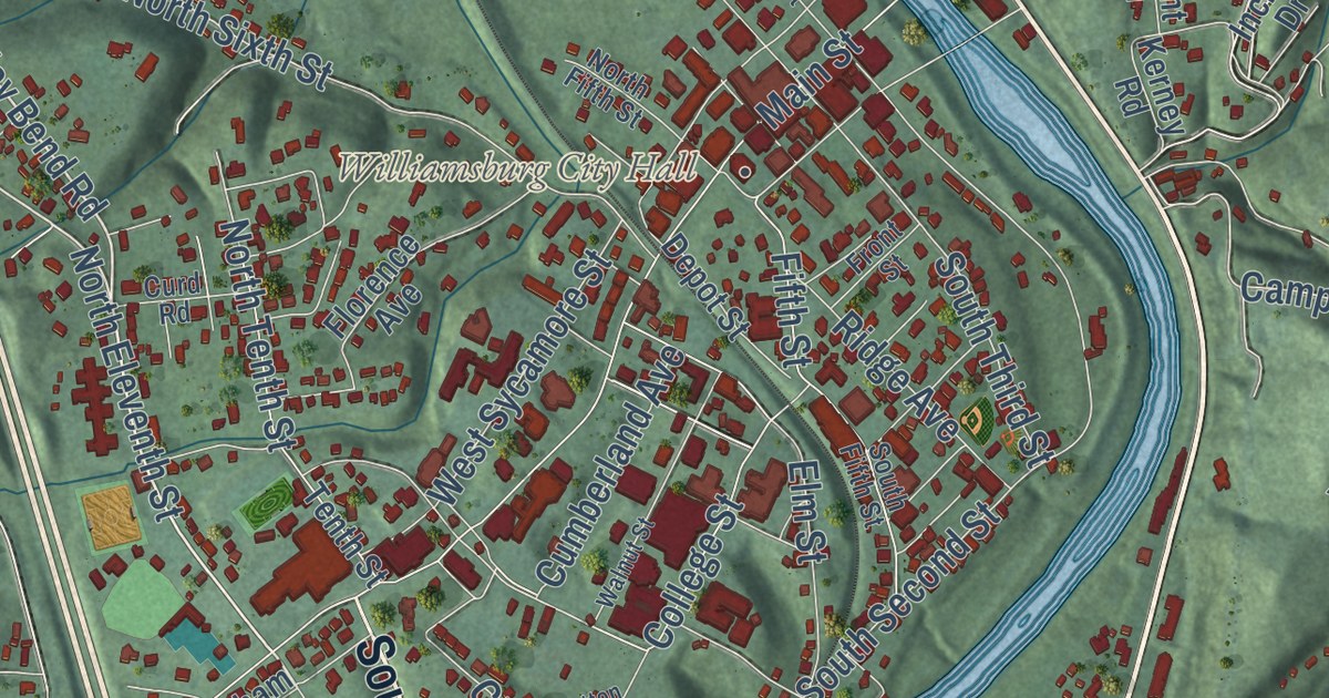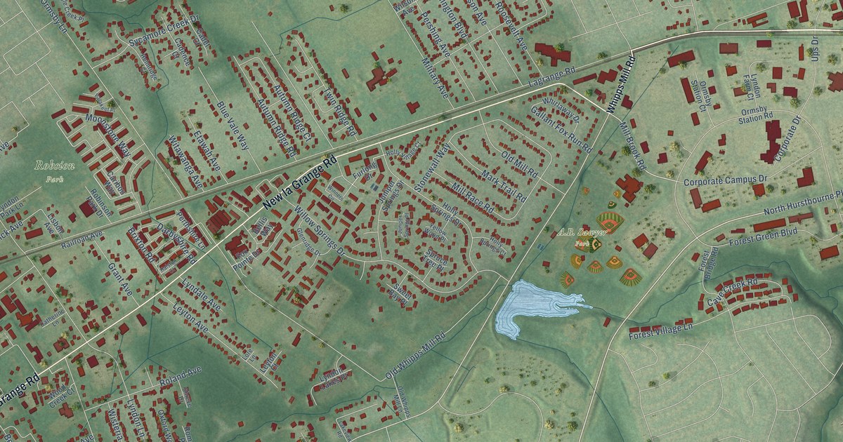
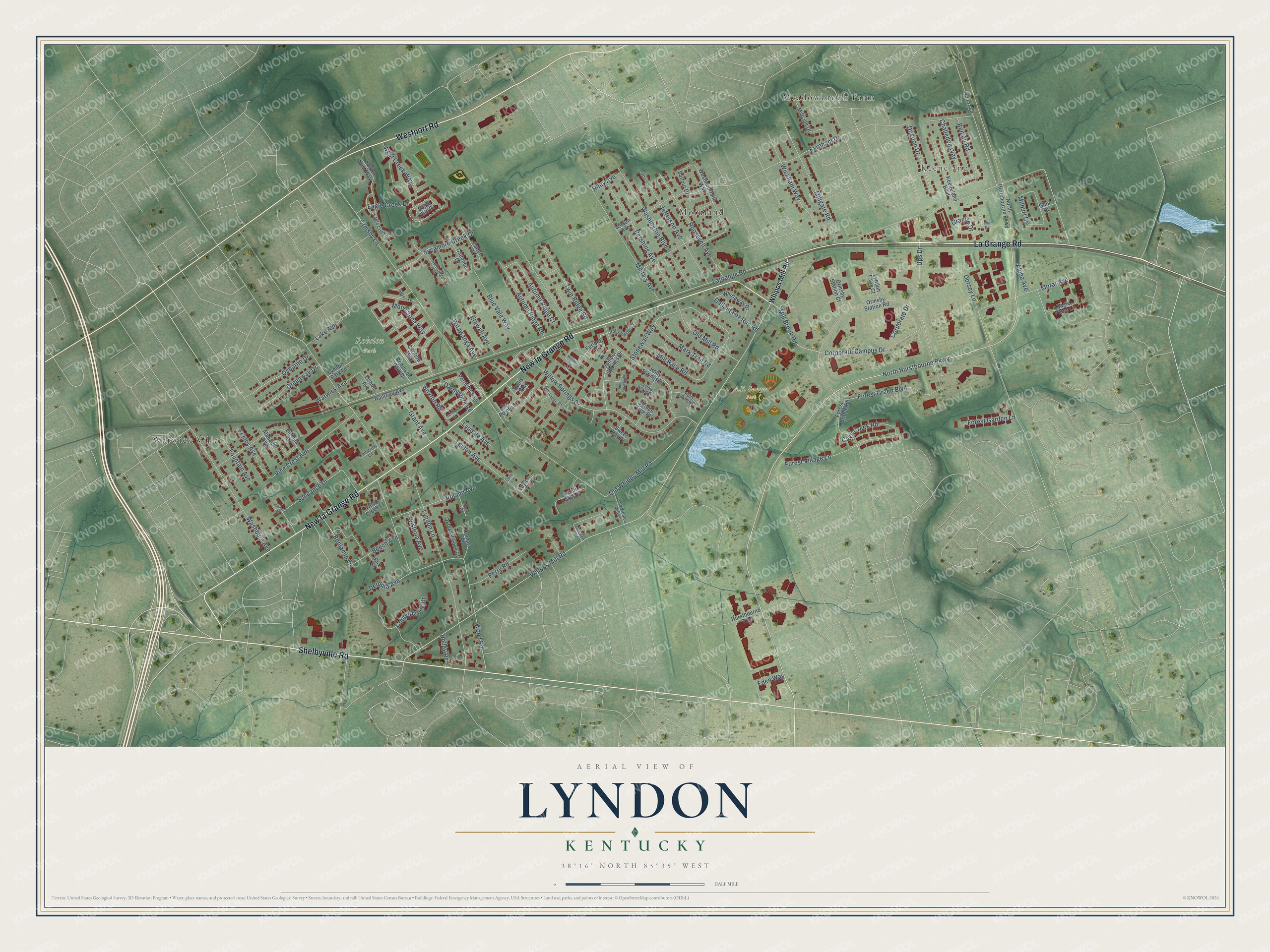
This beautifully detailed map of Lyndon, Kentucky was created in 2026 using aerial imagery combined with modern topographical, census, street and landmark data. It’s a one-of-a-kind view of Lyndon that combines accurate data with a vintage aesthetic. The map shows every building in its true location, many of the roads carry their names, and the shaded topographic relief shows the shape of the land.
Explore an aerial view of Lyndon, Kentucky
On the map you’ll find Robsion Park, Keeneland, Meadowbrook Farm, Moorland, and Warwick Villa, along with La Grange Road, New la Grange Road, Shelbyville Road, Westport Road, North Hurstbourne Parkway, Mill Brook Road, Whipps Mill Road, and more. If you look closely you can even find your house accurately drawn in its correct location. Zoom in on the preview to look for yours.
Did you know this piece of Lyndon, Kentucky history?
From the Kentucky Atlas and Gazetteer: "It was named Lyndon for Linn's Station, a pioneer settlement nearby. Lyndon was incorporated in 1965."
Take a closer look at the Lyndon map
Street and place names on the Lyndon, Kentucky map
These names are printed on the map of Lyndon, Kentucky.
Places: A.B. Sawyer Park, Robsion Park, Keeneland, Meadowbrook Farm, Moorland and Warwick Villa.
Streets and roads: La Grange Road, New la Grange Road, Shelbyville Road, Westport Road, North Hurstbourne Parkway, Mill Brook Road, Whipps Mill Road, Lagrange Road, Ormsby Lane, Lyndon Lane, Wood Road, Willow Springs Drive.
More street names, A to Z
Alabama Avenue, Alpha Avenue, Autumn Ridge Court, Autumn Ridge Road, Balfour Drive, Beech Avenue, Bellis Way, Ben Ali Road, Benjamin Lane, Birk Lane, Blue Vale Way, Brixton Road, Cadence Court, Cadet Court, Caribou Way, Catherine Lane, Cave Creek Road, Challedon Way, Coppercreek Drive, Corporate Campus Drive, Corporate Drive, Darbyshire Road, Deronia Avenue, Dogoon Drive, Dorsey Lane, Eagle Creek Drive, Eagle Creek Place, Eagle Nest Way, Eagle Pines Lane, Eagle Run Drive, Eden Way, Etawah Avenue, Farnham Drive, Fenley Avenue, Forest Bridge Road, Forest Garden Lane, Forest Green Boulevard, Forest Village Lane, Fountain Avenue, Fox Pointe Drive, Furlong Drive, Gallant Fox Run Road, Gina Drive, Glenridge Drive, Granite Drive, Grant Avenue, Greenway Drive, Halston Court, Helmridge Court, Holley Road, Holly Springs Court, Holly Springs Drive, Holly Village Court, Hounz Lane, Hurstbourne Trce, Jefferson, Jefferson Avenue, Juniper Springs Drive, Juniper Springs Place, Keeneland Boulevard, Lake Avenue, Lakeview Road, Larkin Drive, Leyton Avenue, Leyton Court, Lisbon Avenue, Lore Lane, Lyndale Avenue, Lyndon Farm Court, Lyndon Lakes Place, Lyndon Park Lane, Mark Trail Road, Milburt Drive, Military Avenue, Millgate Road, Mill Race Road, Millside Drive, Moonstone Way, Morat Avenue, North Hurtsbourne Parkway, Old Mill Road, Old Whipps Mill Lane, Old Whipps Mill Road, Ormsby Station Court, Ormsby Station Road, Osborne Drive, Oxford Woods Court, Parakeet Place, Perry Road, Pershing Avenue, Perthshire Lane, Railroad Avenue, Riley Avenue, Robinson Park Drive, Roland Avenue, Romara Place, Roosevelt Avenue, Shreve Drive, Spruce Tree Place, Stonewall Way, Sundance Drive, Sunset Court, Sweet Bay Place, Sycamore Creek Drive, Twin Ridge Road, Ups Drive, Vine Crest Avenue, Vineleaf Drive, Warwick Avenue, Washburn Avenue, Washington Boulevard, West Creek Way, Westmoorland Way, Whirlaway Drive, Wickham Way, Wilson Avenue, Winners Circle, Wisteria Avenue, Witawanga Avenue, Wood Creek Court, Yellow Wood Place.
See the Lyndon, Kentucky map on a wall
The Lyndon map as an 18 x 24 inch print in a black frame.

This beautifully detailed map of Lyndon makes an attractive addition to your office, library, or den, and it can even be used to teach children the geography and history of the area. It also makes a great gift for someone who left Lyndon and still calls it home. When you’re done exploring, click here to get your copy of the Lyndon map.