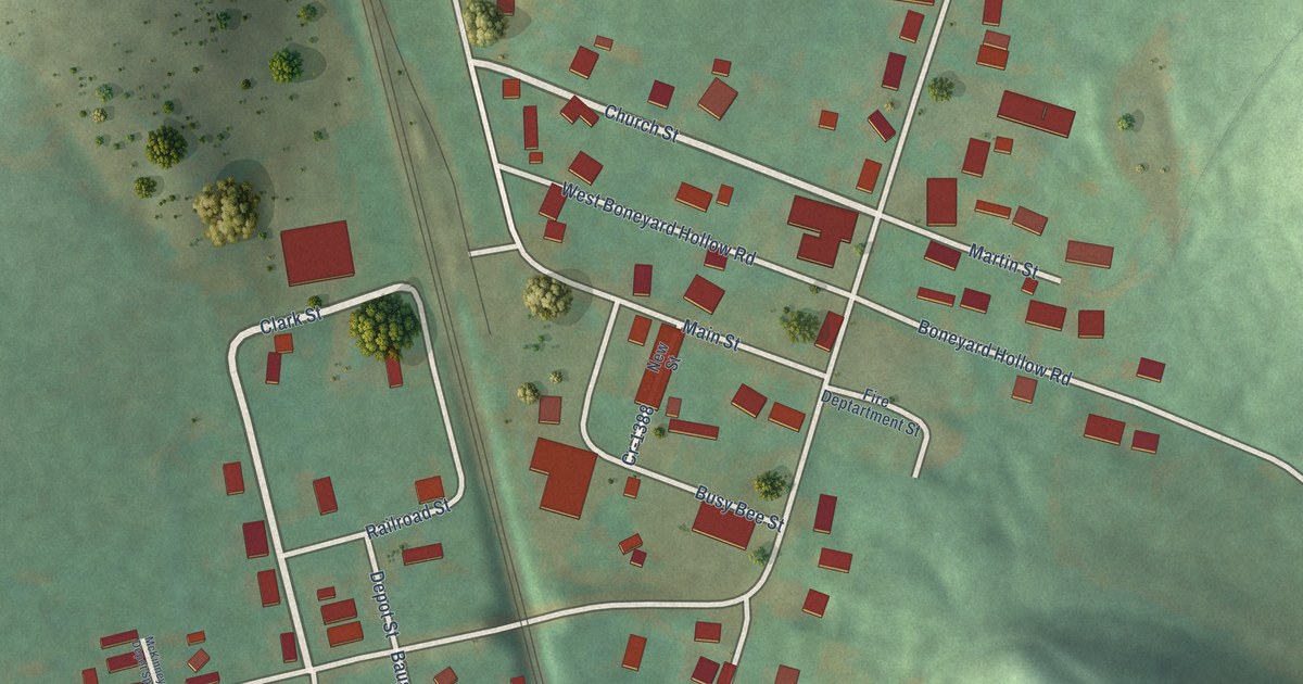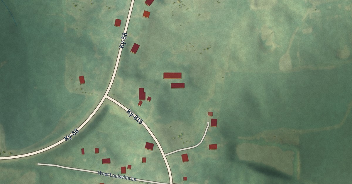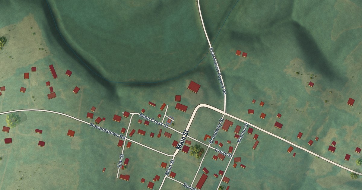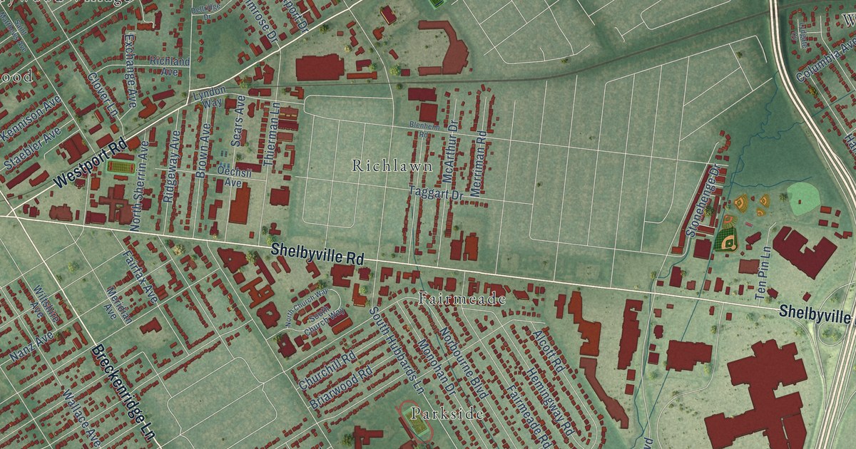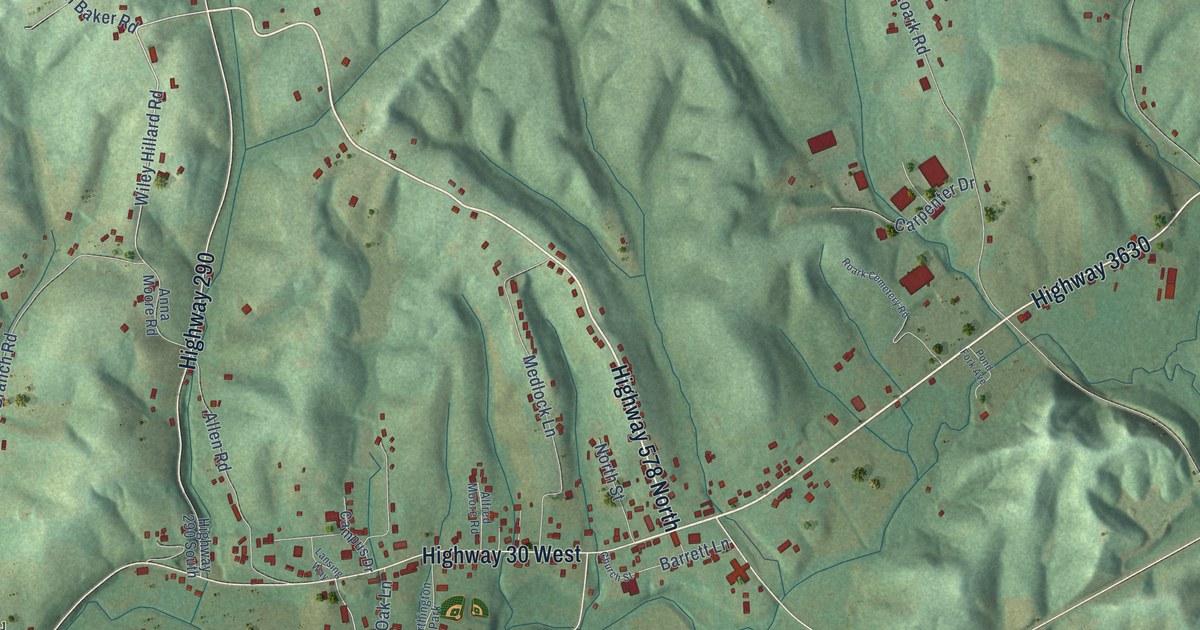
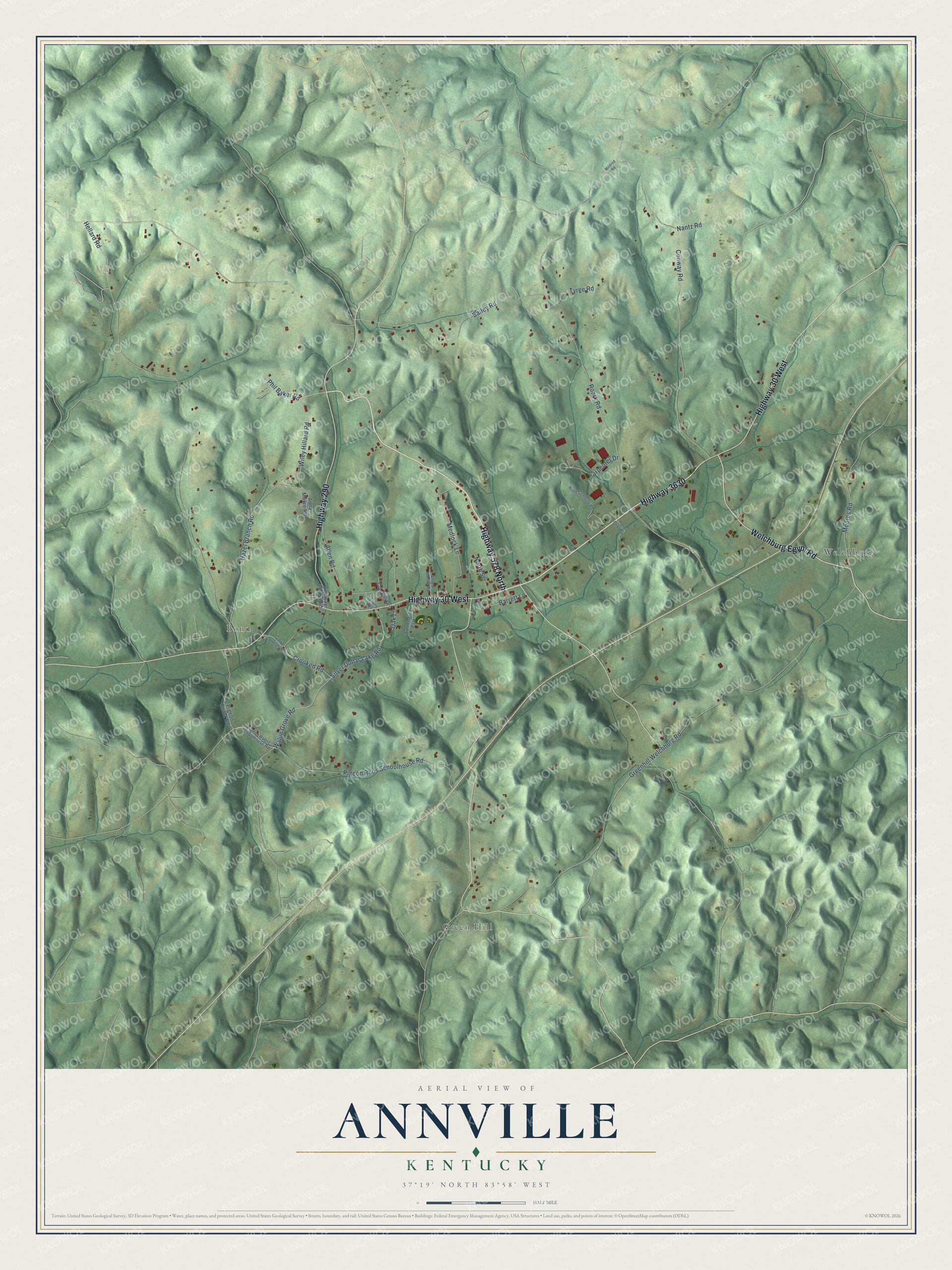
This beautifully detailed map of Annville, Kentucky was created in 2026 using aerial imagery combined with modern topographical, census, street and landmark data. It's a modern aerial view of Annville in Jackson County, Kentucky, that combines modern data with a vintage aesthetic. The roads feature printed names, and if you look closely you can find your exact house accurately shown in its correct location.
Explore an aerial view of Annville, Kentucky
On this map you'll find Green Hill, Bond, Welchburg, Highway 30 West, Highway 578 North, Highway 3630, Highway 290, Welchburg Egypt Road, Wiley Hillard Road, Walun Grove Road, Silver Dollar Lake Road, Bailey Road, and more. Each red shape is a building, so zoom in on the preview and look for yours.
Here is a piece of Annville history. Annville's post office opened in 1878 as Chinquapin Rough, at a spot where many chinquapin, or dwarf chestnut, trees grew along Pond Creek. In 1886 it was renamed Annville for Nancy Ann, the wife of local storekeeper Edward W. Johnson. That's from the book Kentucky Place Names by Robert Rennick.
Annville is a community in Jackson County. The Census Bureau counted 1,102 people here in 2020.
Take a closer look at the Annville map
Names on this map
These names are printed on this map.
Places: Green Hill, Bond, Welchburg and Worthington Park.
Streets and roads: Highway 30 West, Highway 578 North, Highway 3630, Highway 290, Welchburg Egypt Road, Wiley Hillard Road, Walun Grove Road, Silver Dollar Lake Road, Bailey Road, Hellard Road, Roark Road, Greenhill Welchburg Road.
More street names, A to Z
Alfred Moore Road, Allen Road, Anna Moore Road, Barrett Lane, Campus Drive, Carpenter Drive, Church Street, Conway Road, Crooked Road, Hazel Branch Road, Highway 290 South, Lansing Way, Medlock Lane, Mildred Road, Moores Road, Nantz Road, North Street, Oak Lane, Phil Baker Road, Pigeon Roos Schoolhouse Road, Pigeon Roost Road, Pigeon Roost Schoolhouse Road, Pond Fork Avenue, Roark Cemetery Road, Tyree Road, York Cemetery Road.
See it on a wall
The Annville map as a framed print. Swipe for more.


Created by KNOWOL in 2026. The buildings are small red shapes, the roads carry their printed names, and shaded relief shows the shape of the land. The title panel reads "AERIAL VIEW OF ANNVILLE, KENTUCKY" with 37°19' NORTH 83°58' WEST.
It suits a den, a classroom or a front hall, and it makes a gift for anyone with Annville roots. Open the preview and find the block you know. See sizes and frames for the Annville map.