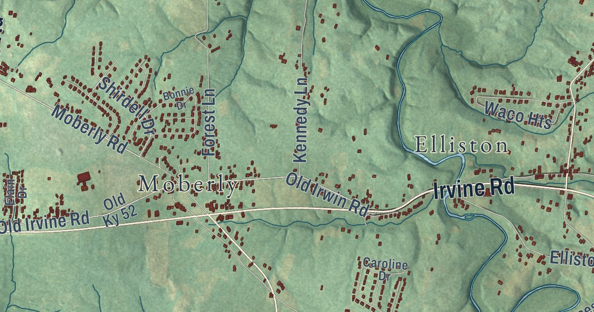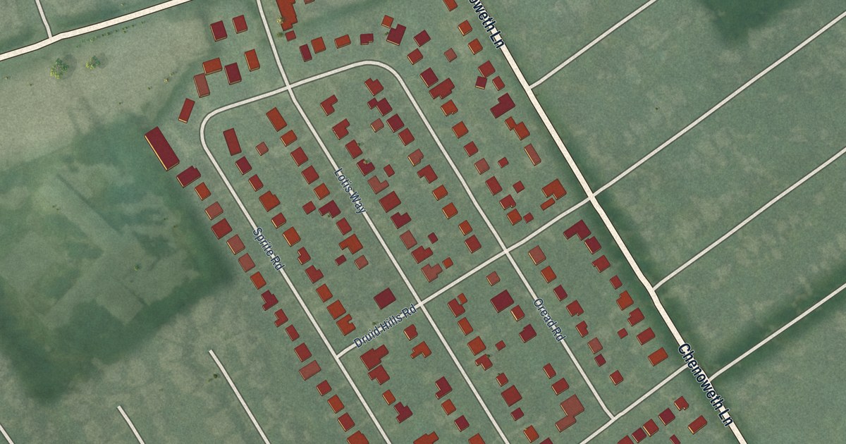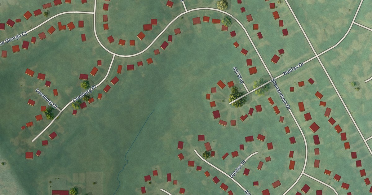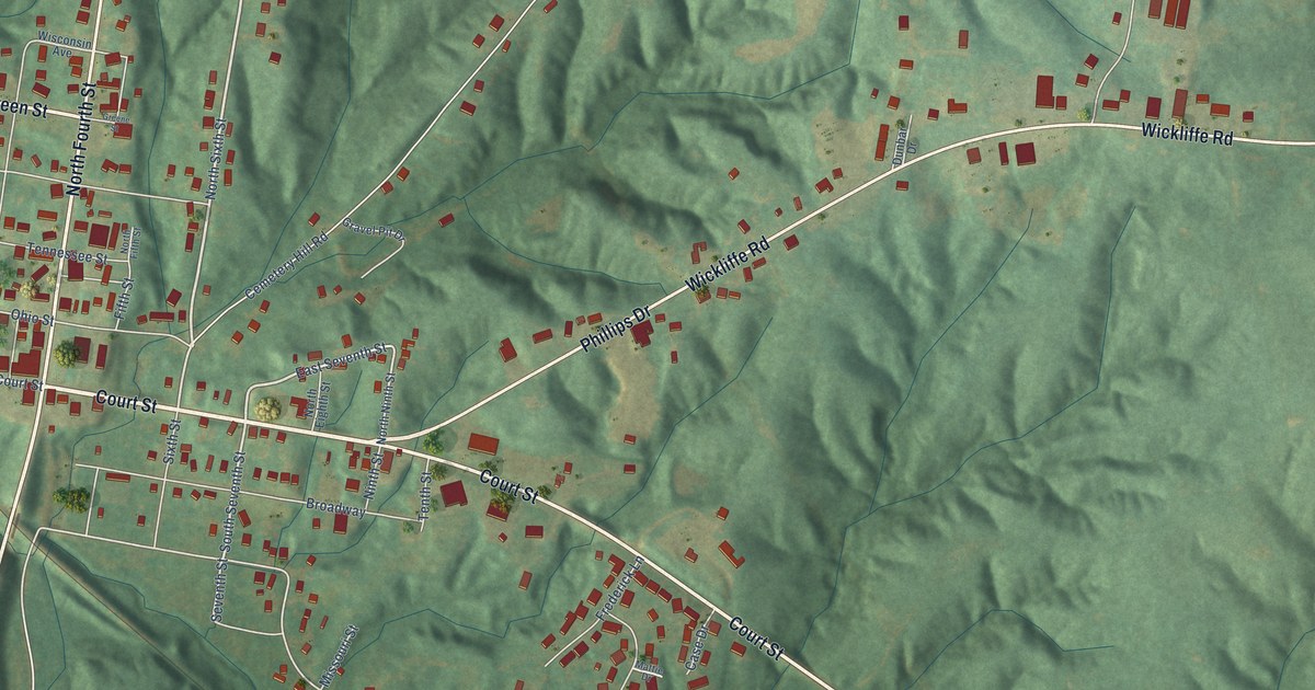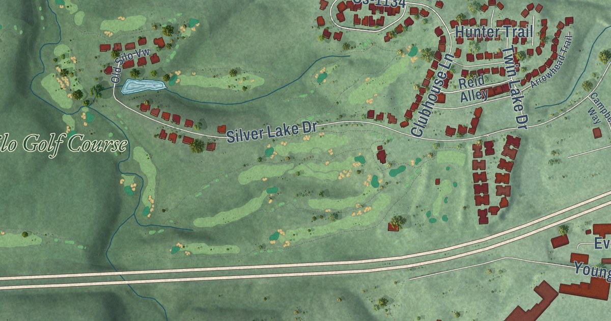
This beautifully detailed map of Mount Sterling, Kentucky was created in 2026 using aerial imagery combined with modern topographical, census, street and landmark data. It’s a one-of-a-kind view of Mount Sterling that combines accurate data with a vintage aesthetic. The map shows every building in its true location, many of the roads carry their names, and the shaded topographic relief shows the shape of the land.
Explore an aerial view of Mount Sterling, Kentucky
On the map you’ll find Old Silo Golf Course, along with Maysville Road, West Main Street, East Locust Street, East Main Street, Owingsville Road, Camargo Road, West High Street, South Bank Street, Indian Mound Drive, Levee Road, Winchester Road, and more. If you look closely you can even find your house accurately drawn in its correct location. Zoom in on the preview to look for yours.
Did you know this piece of Mount Sterling, Kentucky history?
From the Kentucky Atlas and Gazetteer: "The Elizabethtown, Lexington, and Big Sandy Railroad arrived in 1872 and helped make Mount Sterling an important livestock market."
Take a closer look at the Mount Sterling map
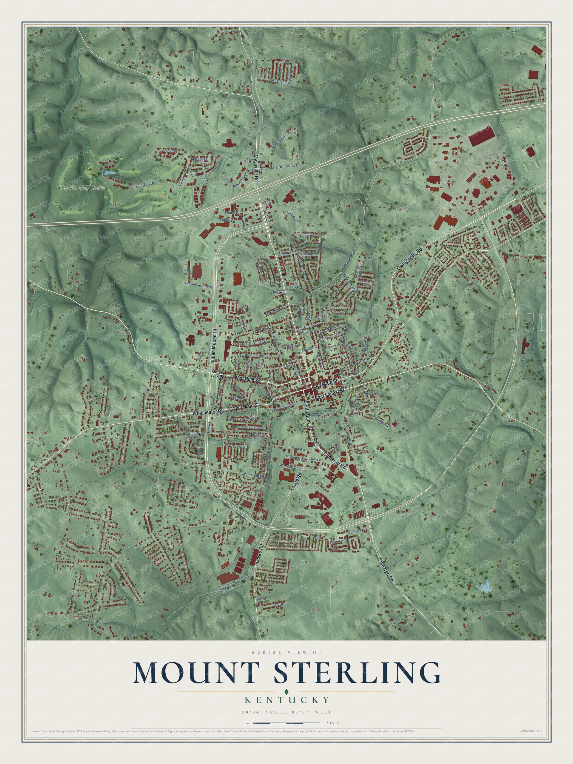
Street and place names on the Mount Sterling, Kentucky map
These names are printed on the map of Mount Sterling, Kentucky.
Places: Old Silo Golf Course.
Streets and roads: Maysville Road, West Main Street, East Locust Street, East Main Street, Owingsville Road, Camargo Road, South Bank Street, West High Street, Indian Mound Drive, Levee Road, Winchester Road, Clay Street.
More street names, A to Z
Alexa Drive, Antwerp Avenue, Apperson Drive, Apperson Heights, Arrowhead Trail, Ashlyn Drive, Augusta Drive, Bentley Way, Bridgett Drive, Brookmede Drive, Brookview Drive, Burley Way, Calk Avenue, Calk Road, Campbell Way, Chenault Lane, Clubhouse Lane, Cobbler Lane, College Street, Commonwealth Way, Court Street, Cs-1035, Cs-1051, Cs-1070, Cs-1075, Cs-1078, Cs-1121, Cs-1134, Cs-1137, Culpepper Drive, Dare Drive, Darley Creek, Denby Place, Disposal Plant Road, Dresden Way, East High Street, East Sunset Ridge Drive, Elm Street, Estill Terrace, Evans Drive, Floyd Drive, Fox Street, Garden Springs Drive, Grassy Lick Road, Hamlett Drive East, Harrison Avenue, Hawkins Drive, Hinkston Pike, Hobart Road, Holt Avenue, Howard Avenue, Hunter Trail, Interstate Drive, Jackson Street, Jameson Street, Johnson Avenue, John Stuart Drive, Juniper Court, Larkspur Drive, Mackie Street, Magnolia Drive, Maloney Way, Mannix Lane, Maysville Avenue, Meadow Court, Medina Court, Millrow Street, Mitchell Street, Mount Ayr Road, Nevada Avenue, North Queen Street, North Sycamore Street, Northview Drive, Oakmont Drive, Old Silo Vw, Pine Hurst Drive, Ragland Avenue, Reffit Alley, Reid Alley, Richmond Avenue, Ridge Crest Drive, Rogers Avenue, Rolling Hills Drive, Ronameki Drive, Saint Andrews Drive, Samuels Avenue, Saratoga Court, Scott Street, Shoe Moore Drive, Short Street, Sidney Drive, Silver Lake Drive, Skyview Drive, South Queen Street, Spring Court, Spring Street, Sterling Avenue, Stone Trace Drive, Strother Street, Summer Street, Summit Drive, Swiss Stone Way, Tenny Avenue, Terry Drive, Twin Lake Drive, Vance Drive, Victory Street, Virginia Avenue, Virginia Court, Vista Court, Wade Court, West Locust Street, White Avenue, Willin Way, Willow Avenue, Wilmont Road, Windsor Drive, Winn Street, Wyandot Way, Young Lane.
See the Mount Sterling, Kentucky map on a wall
The Mount Sterling map as an 18 x 24 inch print in a black frame.

This beautifully detailed map of Mount Sterling makes an attractive addition to your office, library, or den, and it can even be used to teach children the geography and history of the area. It also makes a great gift for anyone who grew up in Mount Sterling or moved away. When you’re done exploring, click here to get your copy of the Mount Sterling map.