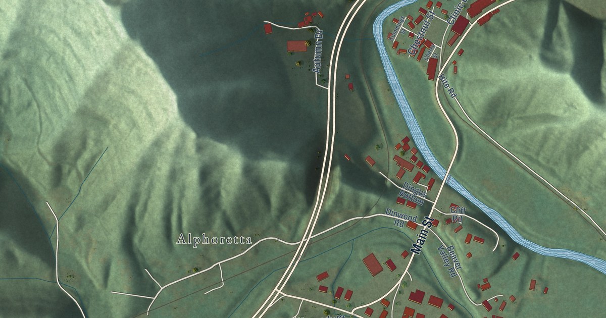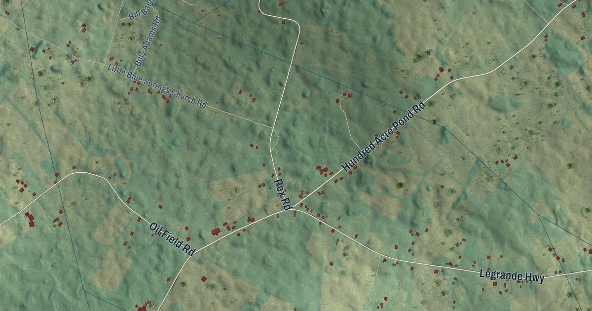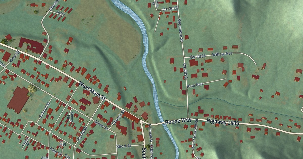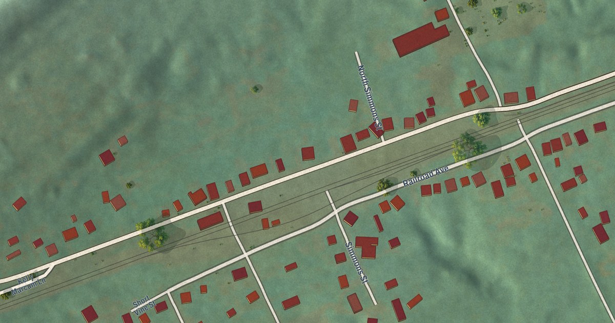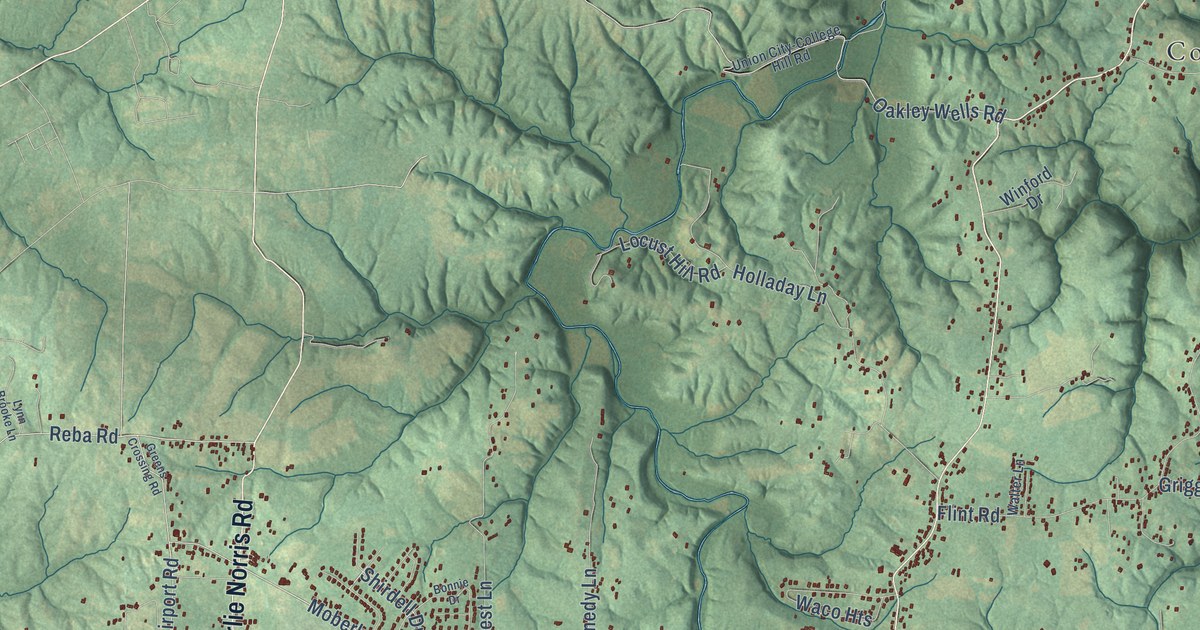
This beautifully detailed map of Waco, Kentucky was created in 2026 using aerial imagery combined with modern topographical, census, street and landmark data. It’s a one-of-a-kind view of Waco that combines accurate data with a vintage aesthetic. The map shows every building in its true location, many of the roads carry their names, and the shaded topographic relief shows the shape of the land.
Explore an aerial view of Waco, Kentucky
On the map you’ll find Panola, Speedwell, Brassfield, College Hill, Elliston, Reeds Crossing, Moberly, and Bybee, along with Panola Road, Dodd Road, Irvine Road, Speedwell Road, and more. If you look closely you can even find your house accurately drawn in its correct location. Zoom in on the preview to look for yours.
Did You Know?
From Internet Archive: "IT Carroll, of Waco, Tex., and other prominent min Inters of the Baptist church who are expected to attend the funeral, will probably Lake some active part."
Waco is a community in Madison County.
Take a closer look at the Waco map
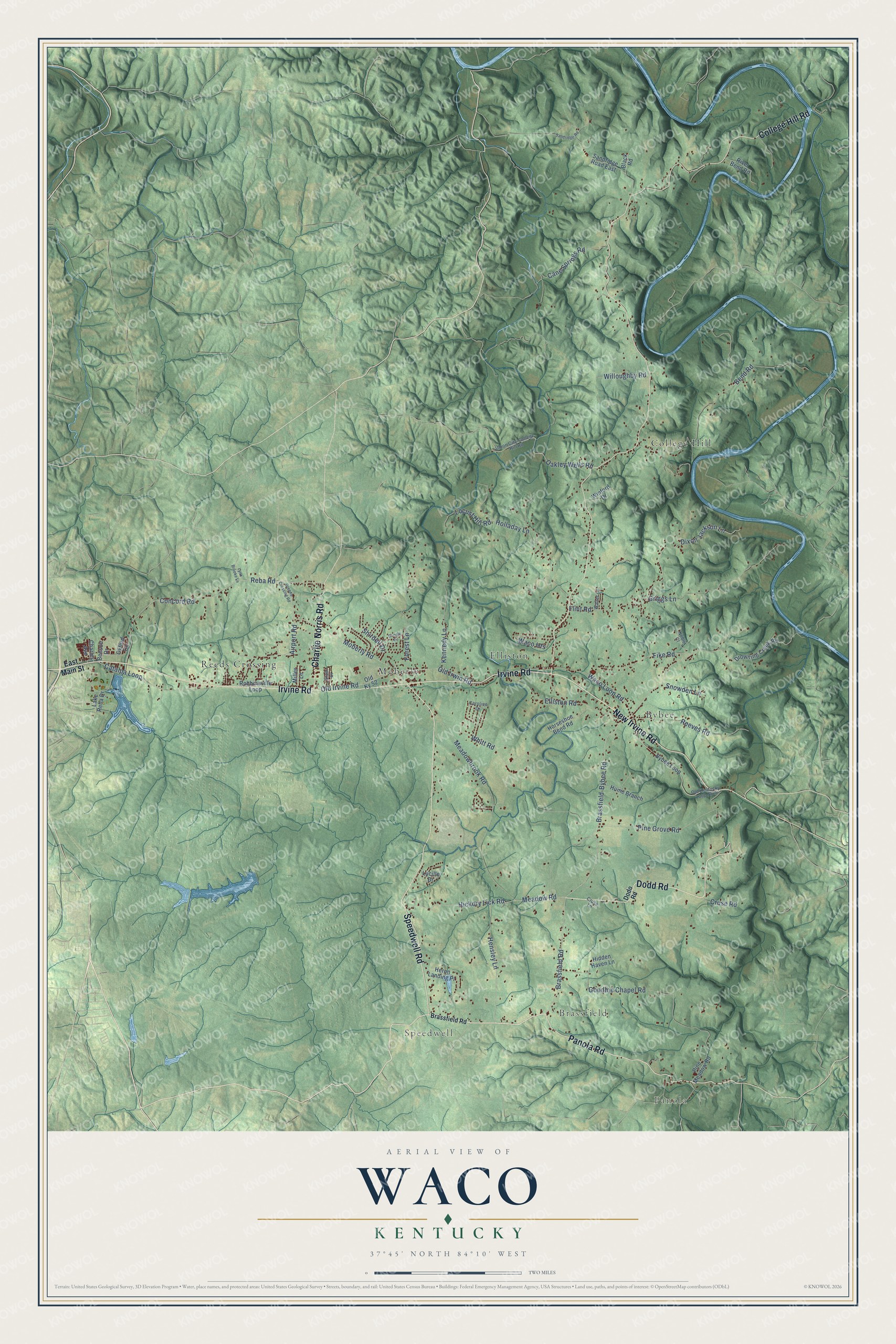
Names on this map
These names are printed on this map.
Places: Panola, Speedwell, Brassfield, College Hill, Elliston, Reeds Crossing, Moberly and Bybee.
Streets and roads: Panola Road, Dodd Road, Irvine Road, Speedwell Road, College Hill Road, New Irvine Road, Charlie Norris Road, Shirdell Drive, Moberly Road, Old Irvine Road, Meadow Road, Concord Road.
More street names, A to Z
Airport Road, Bend Road, Benson Drive, Black Road, Bonnie Drive, Brassfield-Bybee Road, Brassfield Road, Bybee Loop, Cane Springs Road, Caroline Drive, Catalpa Loop, Charles Avenue, Cruse Lane, Cruse Road, Dixon Jackson Lane, Dodo Road, Drowning Creek Road, East Main Street, Elain Drive, Elliston Road, Fike Road, Flint Road, Forest Lane, Goodloe Chapel Road, Greens Crossing Road, Griggs Lane, Hensley Lane, Heron Landing Place, Hickory Lick Road, Hidden Haven Lane, Holladay Lane, Horseshoe Bend Road, Hume Branch, Kennedy Lane, Lake Reba Drive, Locust Hill Road, Lucille Drive, Lynn Brooke Lane, Meadowbrook Road, Miller Lane, Noble Court, Oakley Wells Road, Old Irwin Road, Old Kentucky Loop No 4, Old Ky 52, Oxford Circle, Pine Grove Road, Pine Meadow Road, Reba Road, Reeves Road, River Bend Road, Robbinsville Loop, Sandridge Road, Sandridge Road East, Snowden Lane, Union City-College Hill Road, Waco Heights, Waco Loop Road, Walter Lane, Whitt Road, Willoughby Road, Winford Drive.
See it on a wall
The Waco map as a framed print. Swipe for more.


This beautifully detailed map of Waco makes an attractive addition to your office, library, or den, and it can even be used to teach children the geography and history of the area. It also makes a great gift for someone who left Waco and still calls it home. When you’re done exploring, click here to get your copy of the Waco map.