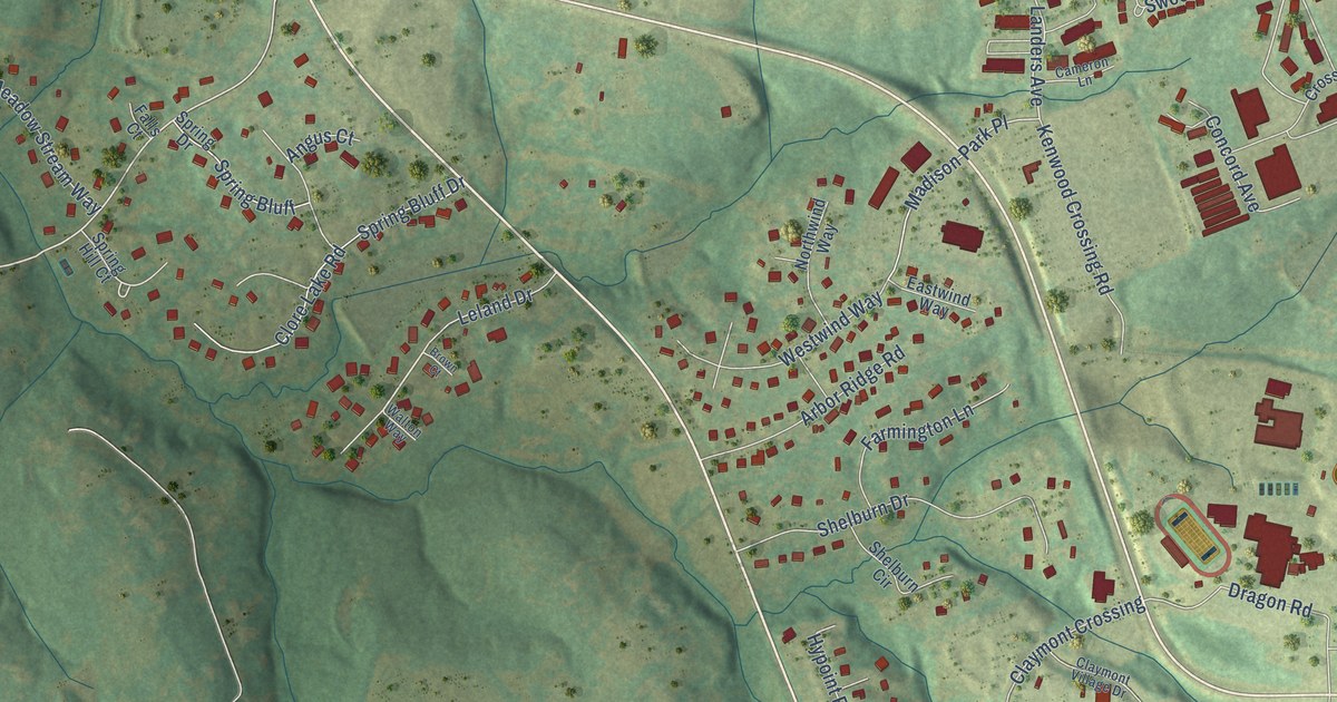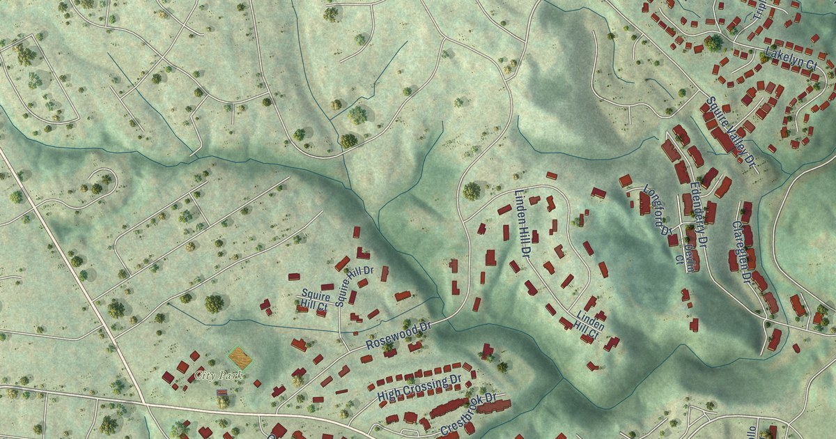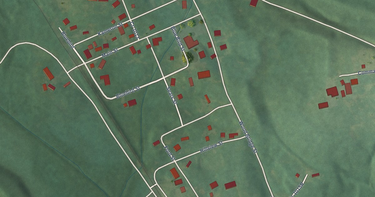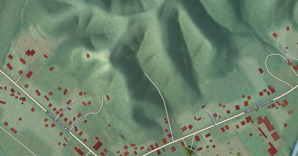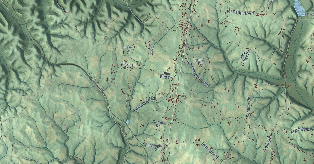
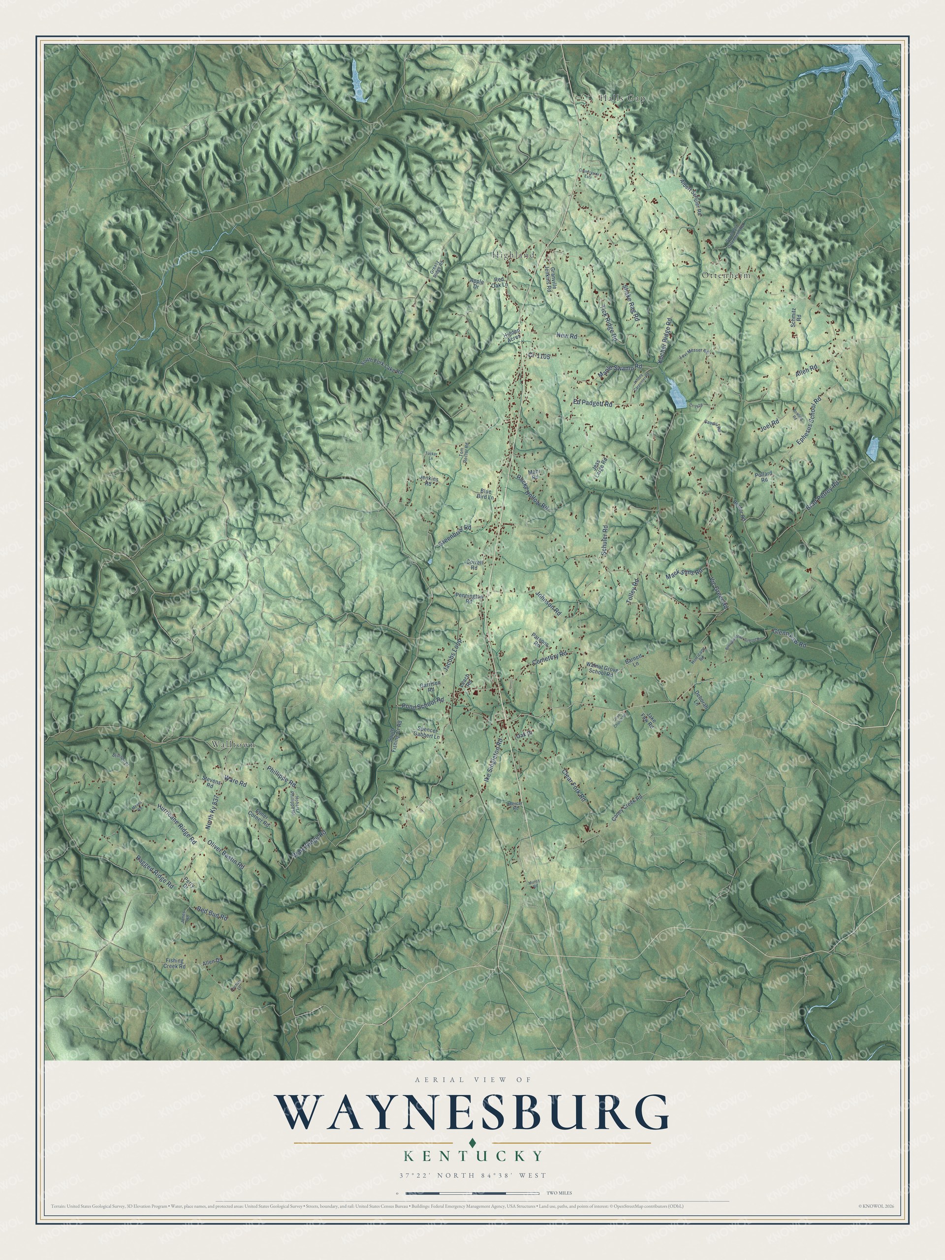
This beautifully detailed map of Waynesburg, Kentucky was created in 2026 using aerial imagery combined with modern topographical, census, street and landmark data. It’s a one-of-a-kind view of Waynesburg that combines accurate data with a vintage aesthetic. The map shows every building in its true location, many of the roads carry their names, and the shaded topographic relief shows the shape of the land.
Explore an aerial view of Waynesburg, Kentucky
On the map you’ll find Highland, Walltown, Halls Gap, Ottenheim, and North Ky 837, along with Ephesus School Road, Shake Rag Road, Cemetery Road, Allen Road, Clear Fork Road, Hurricane Ridge Road, Tick Ridge Road, and more. If you look closely you can even find your house accurately drawn in its correct location. Zoom in on the preview to look for yours.
Did You Know?
From Internet Archive: "The dogs followed the scent several miles south along the railroad and loot it at Waynesburg."
Waynesburg is a community in Lincoln County.
Take a closer look at the Waynesburg map
Names on this map
These names are printed on this map.
Places: Highland, Walltown, Halls Gap and Ottenheim.
Streets and roads: Ephesus School Road, Shake Rag Road, Cemetery Road, Allen Road, Clear Fork Road, Hurricane Ridge Road, North Ky 837, Tick Ridge Road, Kocher Ridge Road, Cr-1105, Maple Swamp Road, Brad Petrey Road.
More street names, A to Z
Albert Schuler Road, Allen Drive, Apple Drive, Barnett Lane, Blue Bird Lane, Bowling Road, Brinson Place, Broughentown School Road, Caney Creek Road, Caudill Road, Correll Road, Countryside Ests, Cr-1528, Deborah Lane, Ed Padgett Road, Elmer Corner Road, Fishing Creek Road, Garrison Road, Glenn Faw Road, Granville Jenkins Road, Greasy Ridge Road, Greenbriar Road, Hidden Acres, Hobart Phillippe Road, Hurricane Road, Ike Singleton Road, Jacobs Loop, Jake Faw Road, Jenkins Road, Jess Large Road, Joel Road, Johnny Carpenter Road, Johnson Road, Jones Road, Leach Road, Levi Messer Road, Mack Sims Road, Mahr Road, Means Road, Mercer Road, Muncy Road, New Road, Oak Drive, Olive Church Road, Oliver Bastin Road, Parsons Road, Pennington Road, Perry Drive, Phillippe Road, Pollard Road, Pond School Road, Ragged Ridge Road, Rector Road, Red Bud Road, Red Oak Lane, Rocky Hollow Road, Schmitz Road, Schuler Road, South Fishing Cr Road, South Fork Lake Road, South Old Ottenheim Road, Spencer Gabbert Lane, Stevens Road, Tolley Road, Tom Rector Road, Tucker Lane, Vic Greer Road, Walnut Grove School Road, Ware Ridge Road, Ware Road, Zachary Lane.
See it on a wall
The Waynesburg map as a framed print. Swipe for more.


This beautifully detailed map of Waynesburg makes an attractive addition to your office, library, or den, and it can even be used to teach children the geography and history of the area. It also makes a great gift for anyone with Waynesburg roots. When you’re done exploring, click here to get your copy of the Waynesburg map.