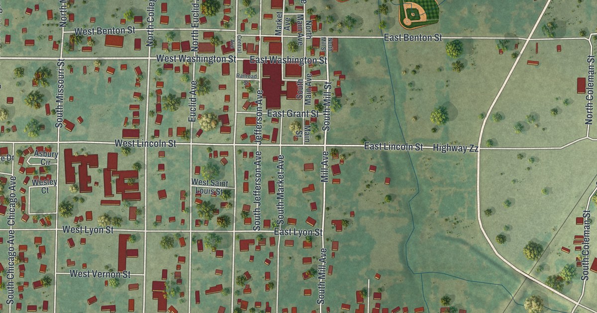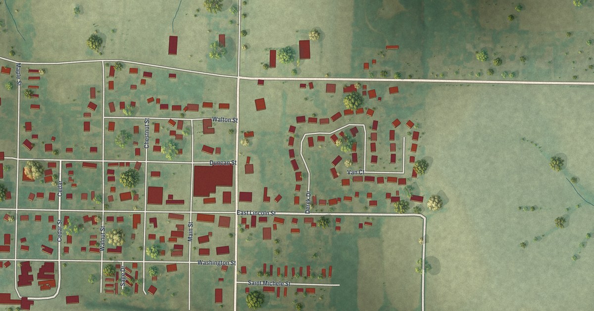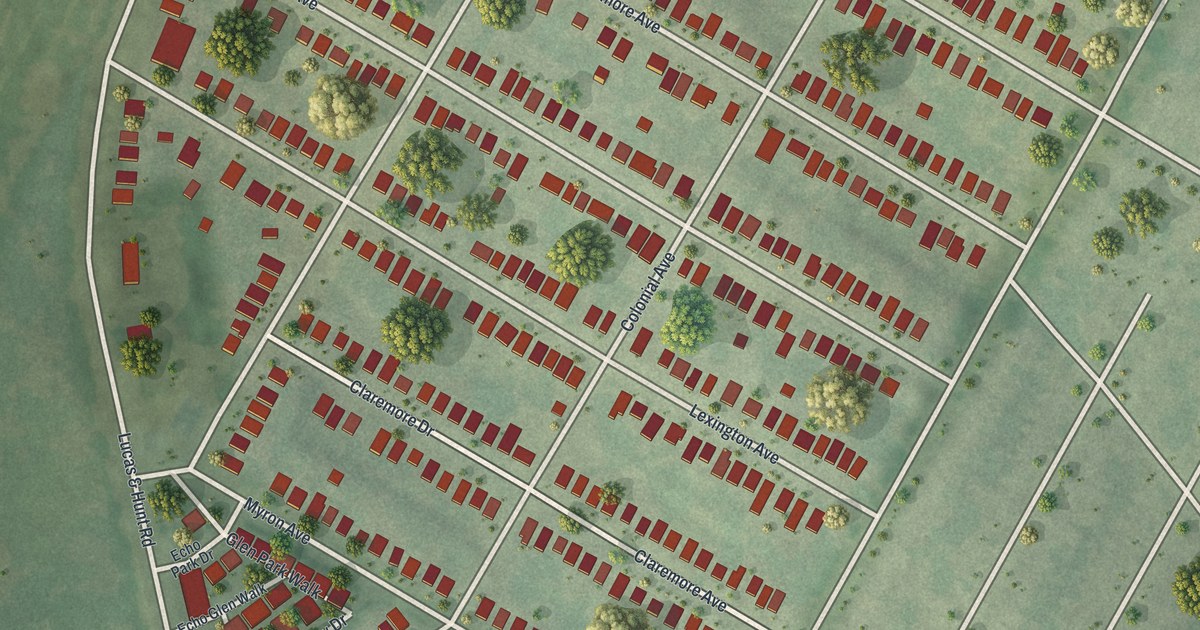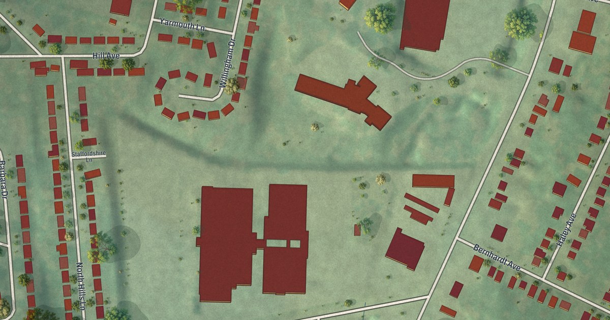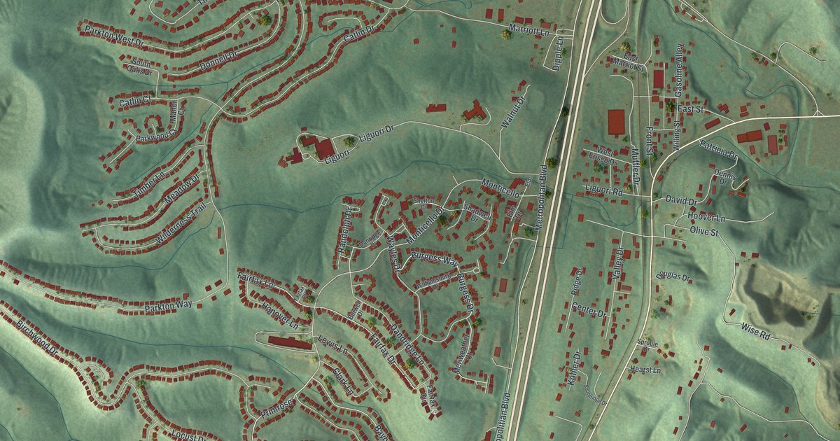
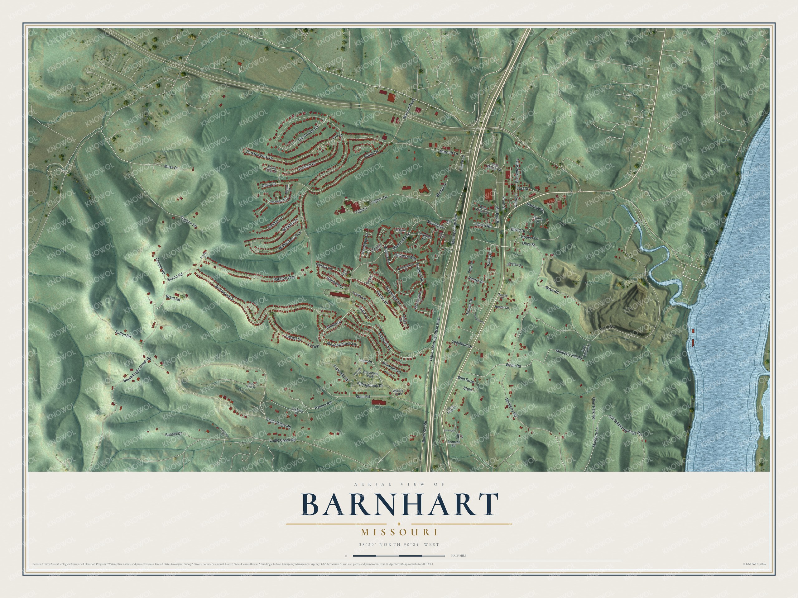
This beautifully detailed map of Barnhart, Missouri was created in 2026 using aerial imagery combined with modern topographical, census, street and landmark data. It's a modern aerial view of Barnhart in Jefferson County, Missouri, that combines modern data with a vintage aesthetic. The roads feature printed names, and if you look closely you can find your exact house accurately shown in its correct location.
Explore an aerial view of Barnhart, Missouri
On this map you'll find Bayberry Lane, Primrose, Springbrook Drive, Primrose Lane, Meadowbrook Lane, Monticello Drive, Stahl Road, Gasoline Alley, Fox Lane, Burgess Way, Burgess Drive, East Street, and more. Each red shape is a building, so zoom in on the preview and look for yours.
Barnhart has a story worth telling. The State Historical Society of Missouri puts it this way: "Named for the Barnhart family, who own a large tract of land here."
Barnhart is a community in Jefferson County. The Census Bureau counted 5,832 people here in 2020.
Take a closer look at the Barnhart map
Names on this map
These names are printed on this map.
Places: Asbury Park, Graystone Park and Avondale Park.
Streets and roads: Bayberry Lane, Primrose, Springbrook Drive, Primrose Lane, Meadowbrook Lane, Monticello Drive, Stahl Road, Gasoline Alley, Fox Lane, Burgess Way, Burgess Drive, East Street.
More street names, A to Z
Birchwood Drive, Boulder Ps, Brant Road, Burwell Drive, Canyon Road, Catlin Court, Catlin Drive, Center Drive, Clark Lane, Cooper Road, Dandridge Lane, Danridge Drive, David Drive, Dennis Drive, Dipple Lane, Donnell Drive, Douglas Drive, East Marriot Street, East Mulberry, Elm, Elm Drive, Engle Creek Road, Engle Lakes Road, Engleport Drive, Engle Ridge Road, Fairfax Circle, Fairfax Court, Fairfax Drive, Fairfax Lane, Francella Road, Front Street, Glen Park Road, Hanover Lane, Hearst Lane, Hillcress Court, Hoover Lane, Kohler Drive, Lewis Lane, Liguori, Liguori Drive, Liguori Metropolitian Boulevard, Liguori Road, Lincoln, Locust, Locust Drive, Manor Court, Marriot Parkway, Marriott Lane, Meadow Drive, Meriweather Court, Metropolitan Boulevard, Monticello, Moss Drive, Muffler Drive, Mulberry Hill Road, Mulberry Lane, Mulberry Road, North Svc Road, Oak Lane, Old Sulphur Springs Road, Olive Street, Palmer Road, Parkton Way, Parkton West Drive, Parkwood Court, Patricia Drive, Randolph Drive, Ridge Drive, Saxon Road, Schmidt Road, Shadwell Drive, Shelton Court, South Engle Creek Road, South Oaks Drive, Southridge Drive, Sproule Drive, Stahl, Stone Ridge Court, Stoneridge Court, Sunnyview Drive, Sunset Drive, Sutton Road, The Woods Circle, Timber Lane, Valley Drive, Walnut Drive, Wayles Drive, West Frisco Drive, White Road, Wilderness Trail, Wild Rose, Williamsburg Drive, Willing Street, Wise Road, Zachary Court.
Created by KNOWOL in 2026. The buildings are small red shapes, the roads carry their printed names, and shaded relief shows the shape of the land. The title panel reads "AERIAL VIEW OF BARNHART MISSOURI" with 3, 8, °, 2, 0, ', , N, O, R, T, H, , 9, 0, °, 2, 4, ', , W, E, S, T.
It looks right in a kitchen, an office or a den, and it's a gift for anyone who grew up in Barnhart or moved away. Open the preview and find your street. See sizes and frames for the Barnhart map.