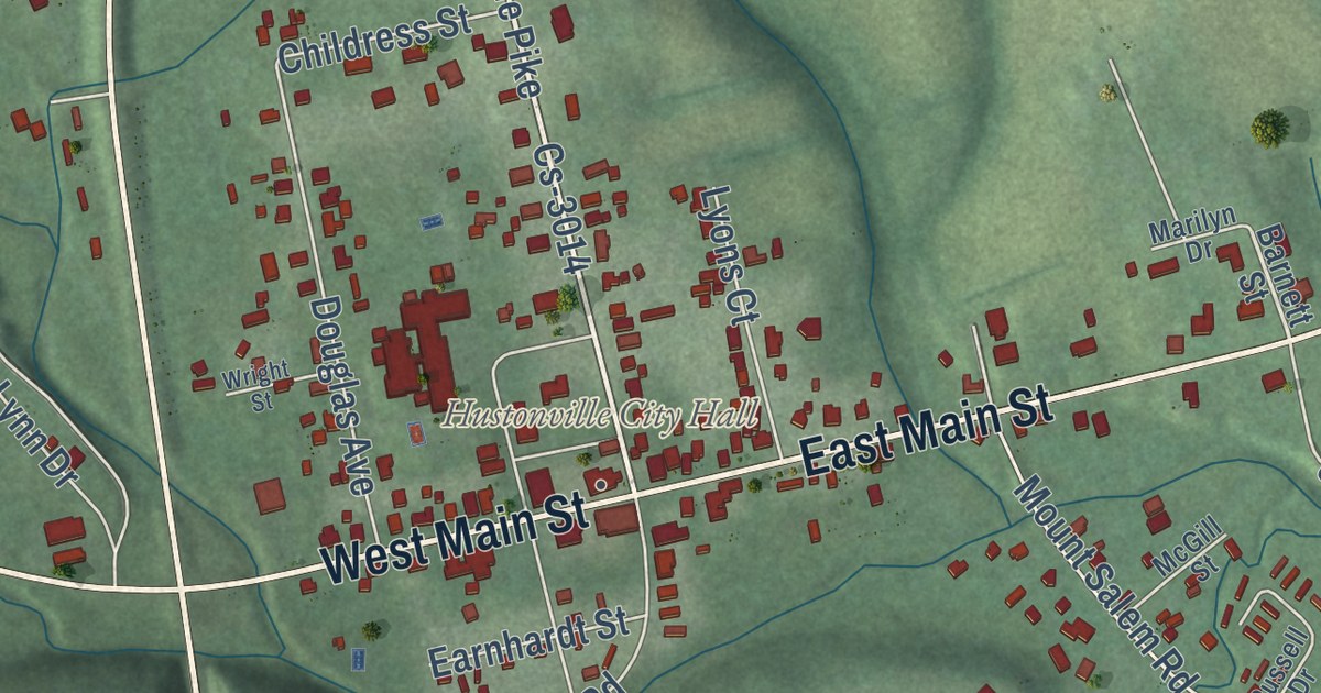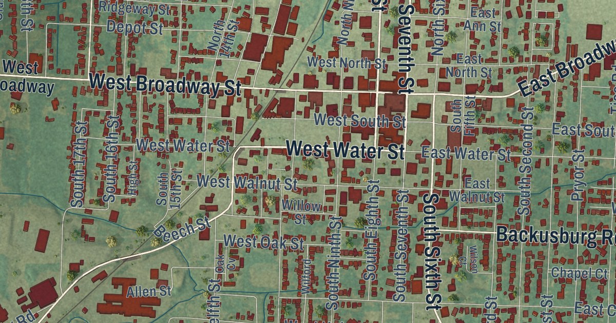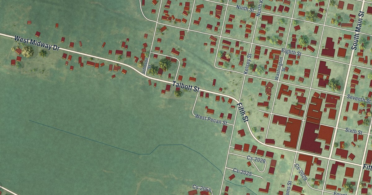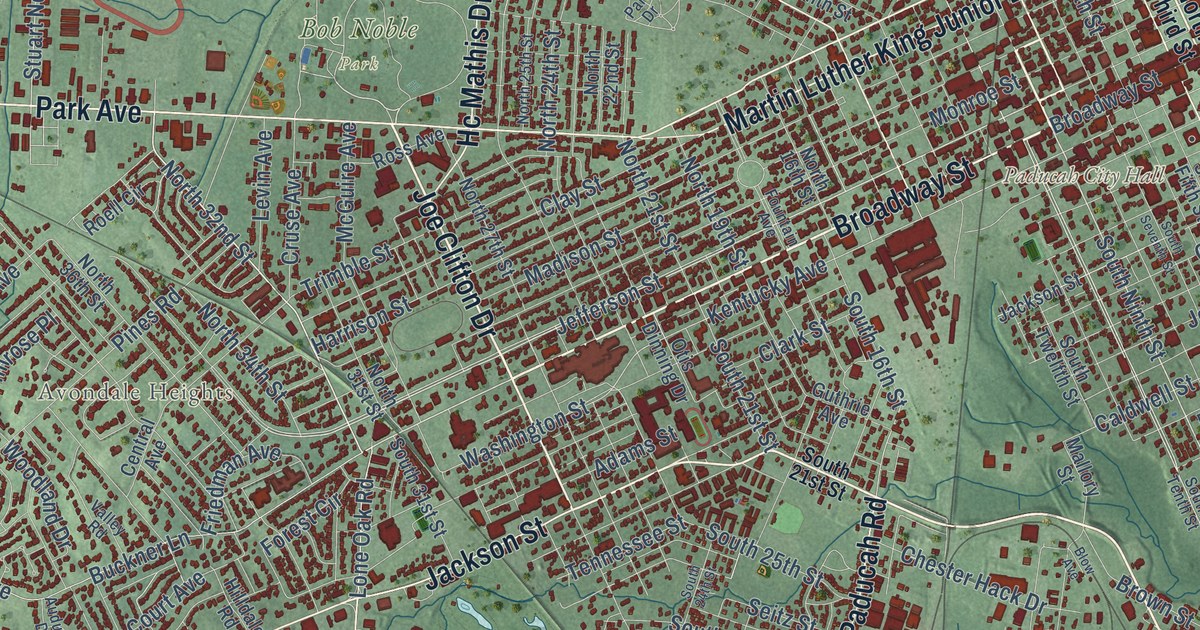
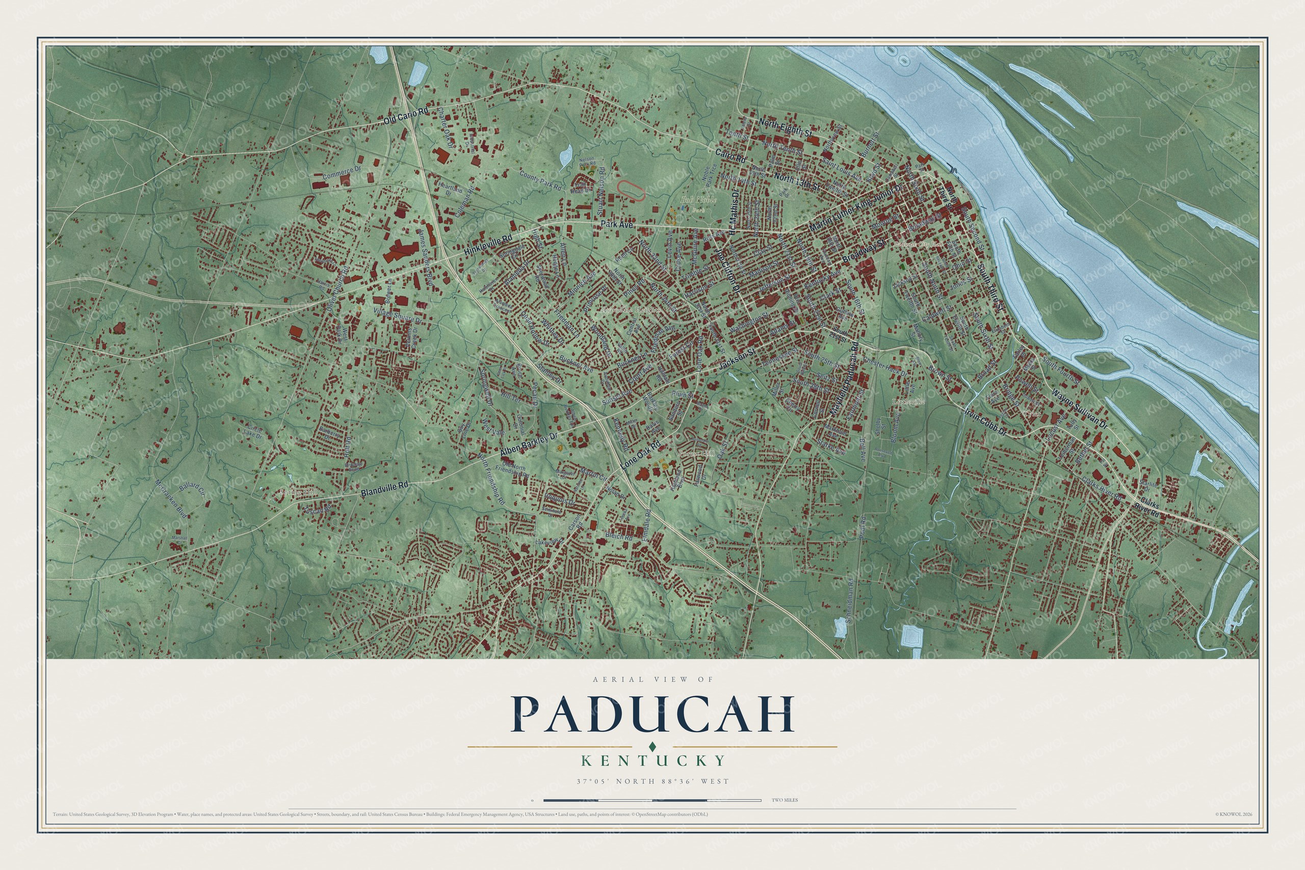
This beautifully detailed map of Paducah, Kentucky was created in 2026 using aerial imagery combined with modern topographical, census, street and landmark data. It’s a one-of-a-kind view of Paducah that combines accurate data with a vintage aesthetic. The map shows every building in its true location, many of the roads carry their names, and the shaded topographic relief shows the shape of the land.
Explore an aerial view of Paducah, Kentucky
On the map you’ll find Concord, Futrell, Bob Noble Park, Avondale Heights, Forest Hill, Hinkleville, Littleville, Spring Hill, and Tyler, along with Irvin Cobb Drive, Wayne Sullivan Drive, Broadway Street, and more. If you look closely you can even find your house accurately drawn in its correct location. Zoom in on the preview to look for yours.
Did you know this piece of Paducah, Kentucky history?
From the Kentucky Historical Society: "The first Jewish house of worship in Paducah was established in 1871, located on the east side of South Fifth between Clark and Adams. In 1873, the Paducah Jewish congregation became charter member, Union of American Hebrew Congregations."
Take a closer look at the Paducah map
Street and place names on the Paducah, Kentucky map
These names are printed on the map of Paducah, Kentucky.
Places: Paducah City Hall, Bob Noble Park, Spring Hill, Forest Hill, Tyler, Avondale Heights and Littleville.
Streets and roads: Irvin Cobb Drive, Wayne Sullivan Drive, Broadway Street, South Third Street, Joe Clifton Drive, Park Avenue, Alben Barkley Drive, Lone Oak Road, North Eighth Street, Martin Luther King Junior Drive, Jackson Street, Hinkleville Road.
More street names, A to Z
Adams Street, Alameda Crescent, Alameda Drive, Alben Burkley Extension, Allen Lane, Audubon Drive, Avondale Road, Ballard Circle, Barberry Drive, Barkley Woods, Bell Avenue, Berger Road, Bethel Street, Birkdale Bend, Blandville Road, Bleich Road, Bloom Avenue, Blow Avenue, Boyd Street, Brewer Lane, Bridge Street, Broad Street, Brown Street, Bruce Avenue, Buckner Avenue, Buckner Lane, Burnett Street, Cairo Road, Caldwell Street, Campbell Street, Carson Road, Central Avenue, Charter Oak Drive, Cherry Circle, Chester Hack Drive, Circle Lake Drive, Clarks River Road, Clark Street, Clay Street, Coleman Road, Colonial Drive, Commerce Drive, Cornell Street, County Park Road, Court Avenue, Cruse Avenue, Davis Avenue, Deer Lick Place, Dowell Street, Elizabeth Street, Ellis Street, Elmdale Road, Estelle Street, Fairmont Street, Farley Place, Farwood Drive, Flora Avenue, Forest Circle, Fountain Avenue, Friedman Avenue, Friedman Lane, Guthrie Avenue, Guy Line Drive, Halehaven Drive, Harrison Street, Harris Road, Hc Mathis Drive, Heartland Drive, Hedge Lane, Highland Boulevard, High Street, Hilldale Road, Hill Terrace, Holt Road, Industrial Drive, Iroquois Drive, James Sanders Boulevard, Jefferson Street, Jones Street, Kennedy Road, Kentucky Avenue, Lakeview Drive, Legion Drive, Leiberman Street, Levin Avenue, Little Avenue, Locust Avenue, Madison Street, Mallory Street, Margaret Court, Markham Avenue, Marshall Court, Martin Circle, Mayfield Paducah Road, McCracken Boulevard, McGuire Avenue, Miller Drive, Miller Street, Minnich Avenue, Monroe Street, Myers Street, Natchez Lane, Nelson Park Road, Noble Park Trce, Nolan Drive, North 13th Street, North 14th Street, North 16th Street, North 19th Street, North 21st Street, North 22nd Street, North 24th Street, North 25th Street, North 27th Street, North 31st Street, North 32nd Street, North 34th Street, North 36th Street, North Friendship Road, North Sixth Street, North Tenth Street, North Third Street, North Twelfth Street, Northview Street, Oak Street, Ohio Street, Old Cario Road, Old North Friendship Road, Olivet Church Road, Otis Dinning Drive, Palm Street, Park Drive, Park Street, Pecan Drive, Perkins Creek Drive, Pines Road, Plum Street, Pool Road, Powell Street, Primrose Place, Pvt Nc, Quail Hollow Drive, Roell Circle, Roosevelt Boulevard, Ross Avenue, Saint Louis Avenue, Sanders Street, Schneidman Road, Seitz Street, Seminole Drive, Shelby Street, Shelldrake Lane, Sherwood Road, South 16th Street, South 21st Street, South 24th Street, South 25th Street, South 28th Street, South 31st Street, South Eighth Street, South Fifth Street, South Fourth Street, South Ninth Street, South Second Street, South Seventh Street, South Sixth Street, South Tenth Street, South Twelfth Street, Springdale Circle, Springwell Drive, Stanley Drive, Starke Avenue, Starlite Drive, Stuart Nelson Road, Sunset Avenue, Technology Drive, Tennessee Street, Tenth Street, Topeka Avenue, Trail Head Drive, Trimble Street, Tully Street, Tuscan Road, Valley Road, Village Square Drive, Washington Street, West Park Drive, West Vale, Whitney Drive, Woodland Drive.
See the Paducah, Kentucky map on a wall
The Paducah map as an 18 x 24 inch print in a black frame.

This beautifully detailed map of Paducah makes an attractive addition to your office, library, or den, and it can even be used to teach children the geography and history of the area. It also makes a great gift for anyone with Paducah roots. When you’re done exploring, click here to get your copy of the Paducah map.