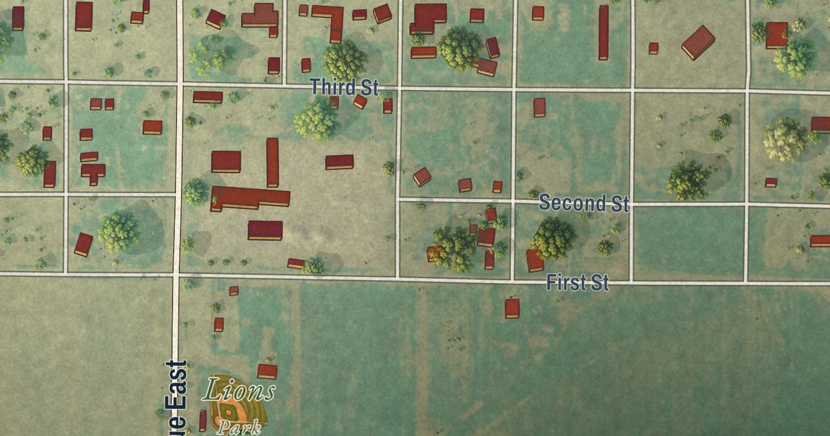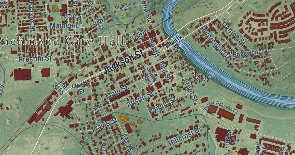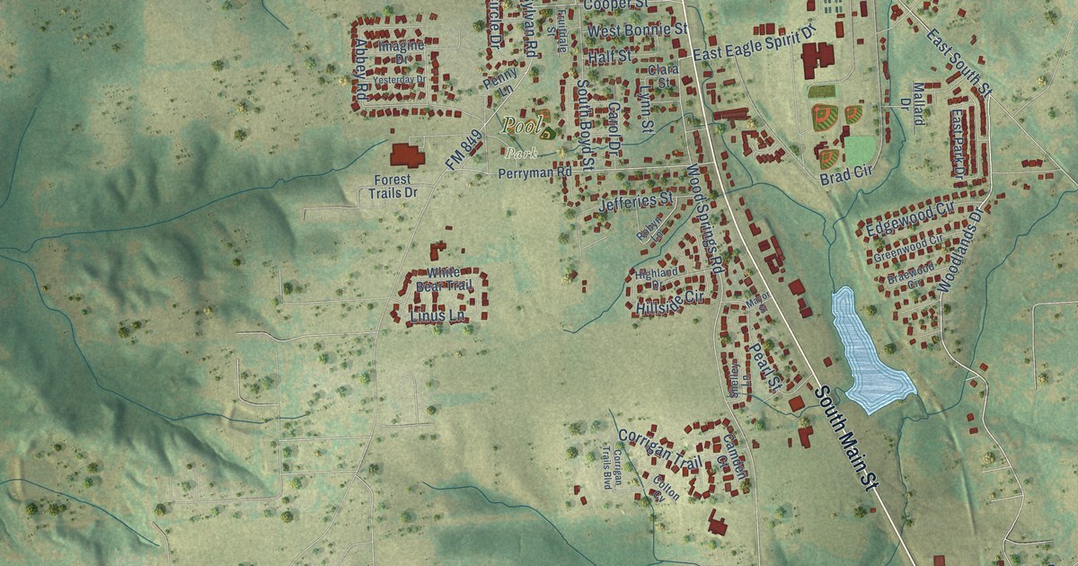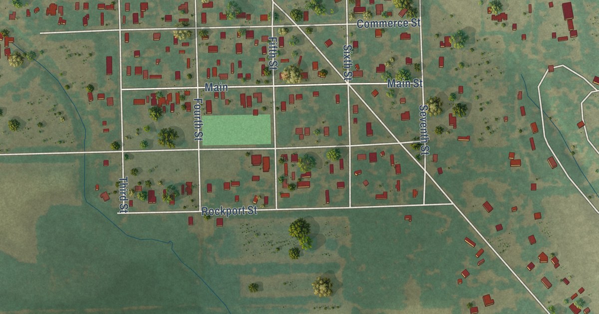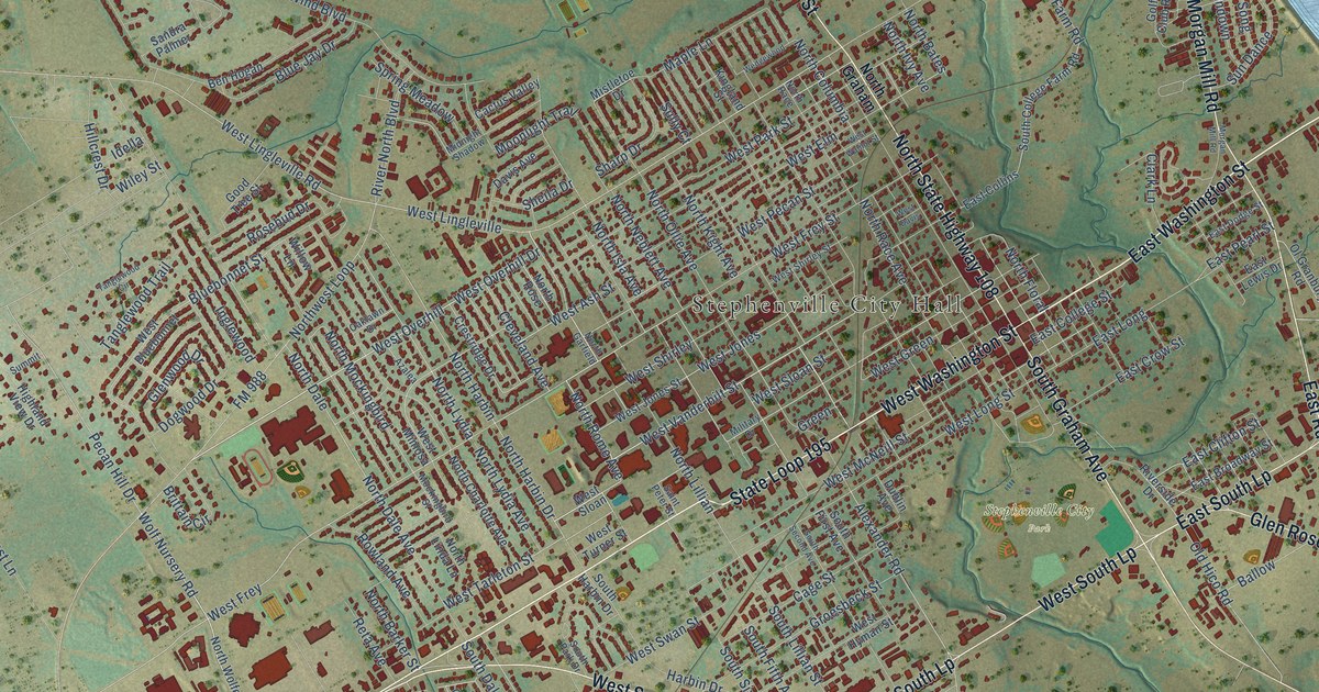
This beautifully detailed map of Stephenville, Texas was created in 2026 using aerial imagery combined with modern topographical, census, street and landmark data. It’s a one-of-a-kind view of Stephenville that combines accurate data with a vintage aesthetic. The map shows every building in its true location, many of the roads carry their names, and the shaded topographic relief shows the shape of the land.
Explore an aerial view of Stephenville, Texas
On the map you’ll find Stephenville City Hall, Stephenville City Park, West South Loop 377, West South Lp, and East South Lp, along with West Washington Street, East Washington Street, State Loop 195, North State Highway 108, North Graham Street, Morgan Mill Road, South Graham Avenue, and more. If you look closely you can even find your house accurately drawn in its correct location. Zoom in on the preview to look for yours.
Did you know this piece of Stephenville, Texas history?
From the Handbook of Texas: "Stephen donated an additional fifty acres of timber to promote the development of the community and became the first postmaster in 1857."
Take a closer look at the Stephenville map
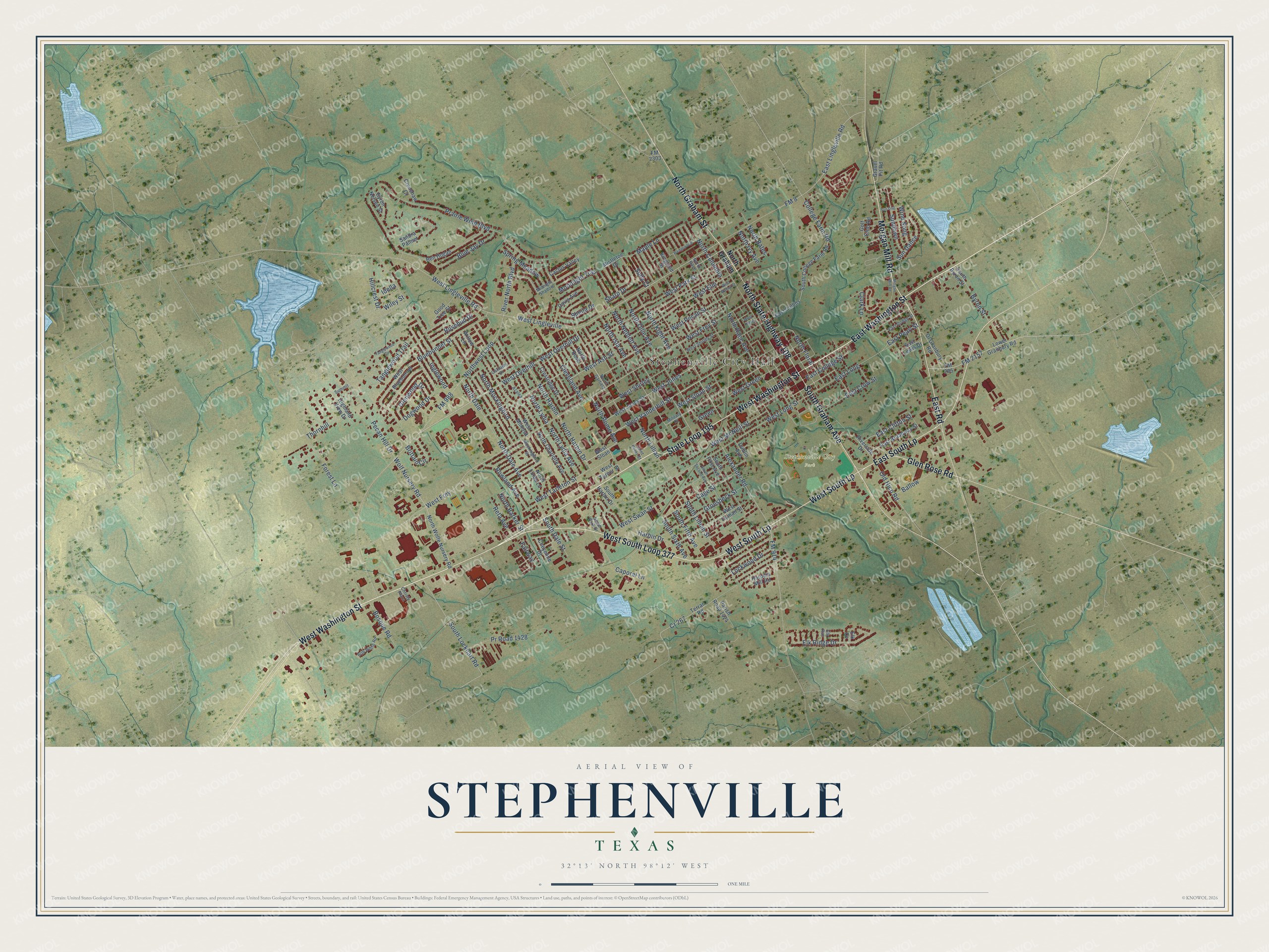
Street and place names on the Stephenville, Texas map
These names are printed on the map of Stephenville, Texas.
Places: Stephenville City Hall and Stephenville City Park.
Streets and roads: West Washington Street, East Washington Street, State Loop 195, West South Loop 377, West South Lp, North State Highway 108, North Graham Street, East South Lp, Morgan Mill Road, South Graham Avenue, East Road, Glen Rose Road.
More street names, A to Z
Alexander Road, Azalea, Ballow, Ben Hogan, Bluebonnet Street, Blue Jay Drive, Bob White Road, Bosque Road, Brittain Circle, Byron Nelson Street, Byron Street, Cactus Valley, Cage Street, Caporal Lane, Cheyenne Drive, Christy Plaza, Clark Lane, Cleveland Avenue, College Farm Road, Cr 267, Crenshaw Court, Crestridge Drive, Davis Avenue, Dogwood Drive, Dublin Avenue, East Broadway Street, East Clifton Street, East College Street, East Collins, East Crow Street, East Dodge Street, East Lewis Drive, East Lingleville Road, East Long, East Pearl Street, Elk Cv, Elk Ridge Drive, Elk Run, Fairway, FM 8, FM 205, FM 914, FM 988, FM 2157, FM 2303, Forest Lane, Glenwood Drive, Golf Club Road, Good Tree Street, Gravel Pit Road, Green, Groesbeck Street, Harbin Drive, Harpers Mill Road, Highland View Drive, Hillcrest Drive, Idella, Inglewood, Kingland Street, Lockwood Drive, Lower Granbury Road, Maple Lane, Midnight Shadow, Military Drive, Mistletoe Drive, Mockingbird Street, Moonlight Trail, North Barker Street, North Bates, North Charlotte Avenue, North Columbia, North Dale, North Dale Avenue, North Floral, North Garfield, North Graham, North Harbin, North Harbin Drive, North Isla Avenue, North Ivy Avenue, North Kight Avenue, North Lillian, North Linda Lane, North Lydia, North Lydia Avenue, North Mockingbird, North Neblett Avenue, North Ollie Avenue, North Race, North Race Avenue, North Rome Avenue, North Rose, Northwest Loop, North Wolfe Nursery Road, Oaklawn Drive, Old Hico Road, Ol Granbury Road, Parish Road 1424, Pecan Hill Drive, Prairie Wind Boulevard, Pr Road 1428, Reta Avenue, River North Boulevard, Riverside Drive, Rosebud Drive, Rowland Avenue, Saint Peter Street, Sandra Palmer, Sharp Drive, Sheila Drive, South Byron Street, South College Farm Road, South Dale Street, South Fifth Avenue, South First Avenue, South Harbin Drive, South Lillian Street, South Lockhart Road, South Park Drive, South Second Avenue, South Sixth Avenue, Spring Meadow, Sully Court, Summit, Sun Dance, Sun Dog, Sundown, Tanglewood Circle, Tanglewood Trail, Terran Road, Thornhill, Wedgewood, West Ash Street, West Bluebonnet, West Davis, West Elm, West Frey, West Frey Street, West Green, West Hyman Street, West Jones, West Jones Street, West Lingleville, West Lingleville Road, West Long Street, West McNeill Street, West Mimosa, West Overhill, West Overhill Drive, West Park Street, West Pecan Street, West Shirley, West Shirley Street, West Sloan, West Sloan Street, West Swan Street, West Tarleton Street, West Turner Street, West Vanderbilt Street, West Walnut Street, Wiley Street, Willow Lane, Wind Song, Wolf Nursery Road.
See the Stephenville, Texas map on a wall
The Stephenville map as an 18 x 24 inch print in a black frame.

This beautifully detailed map of Stephenville makes an attractive addition to your office, library, or den, and it can even be used to teach children the geography and history of the area. It also makes a great gift for anyone with Stephenville roots. When you’re done exploring, click here to get your copy of the Stephenville map.