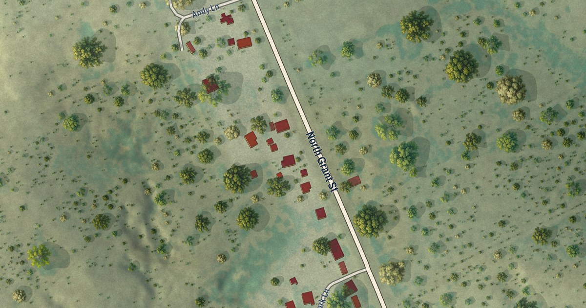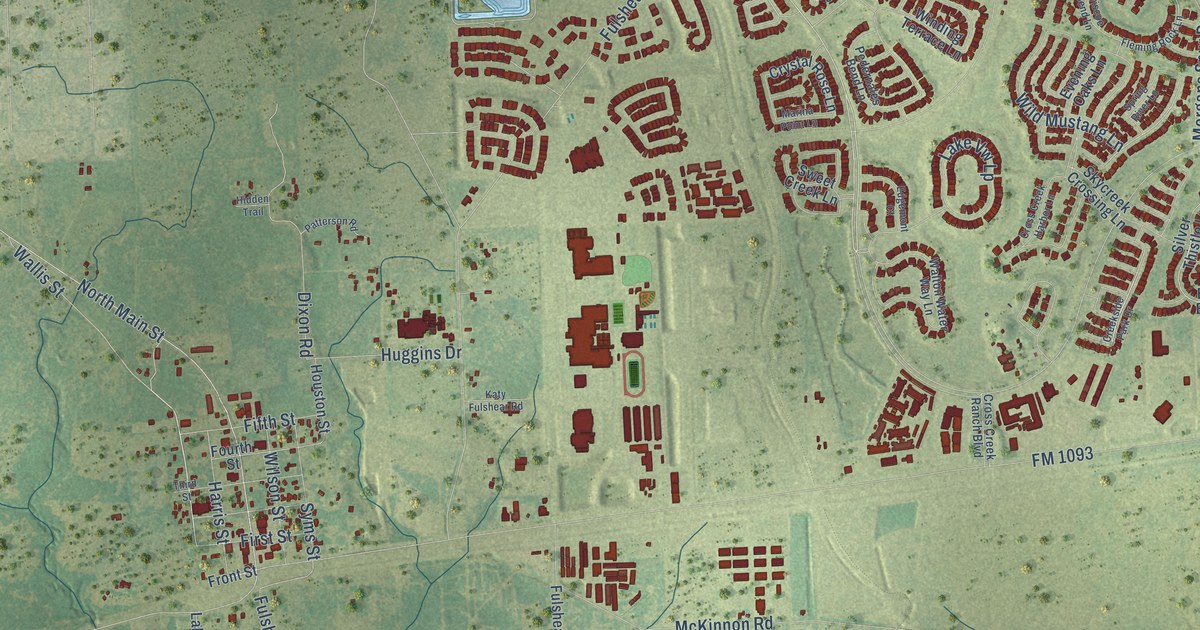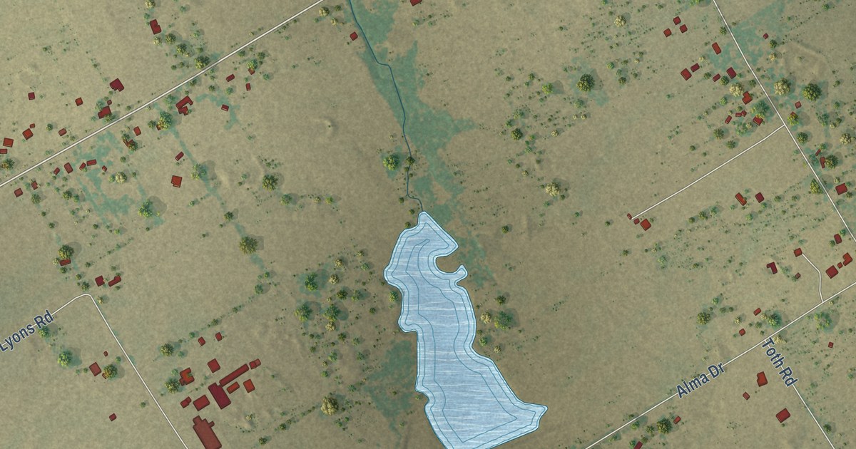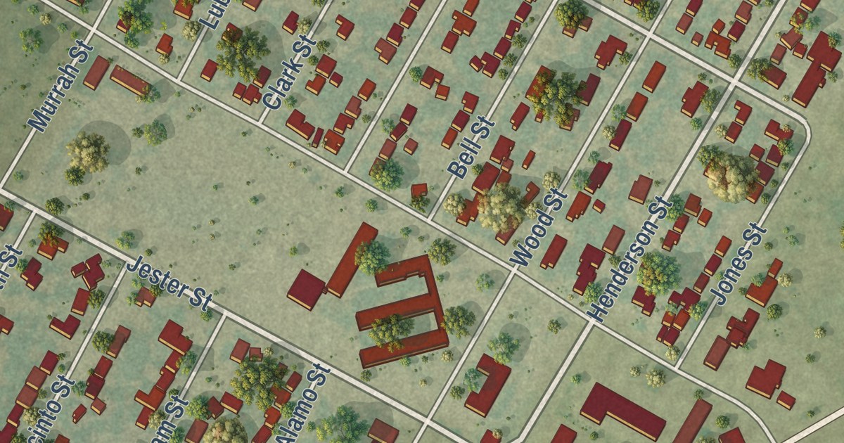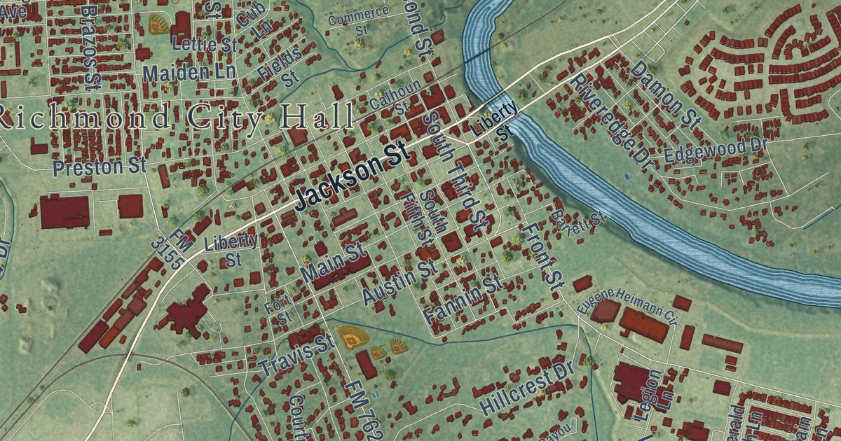
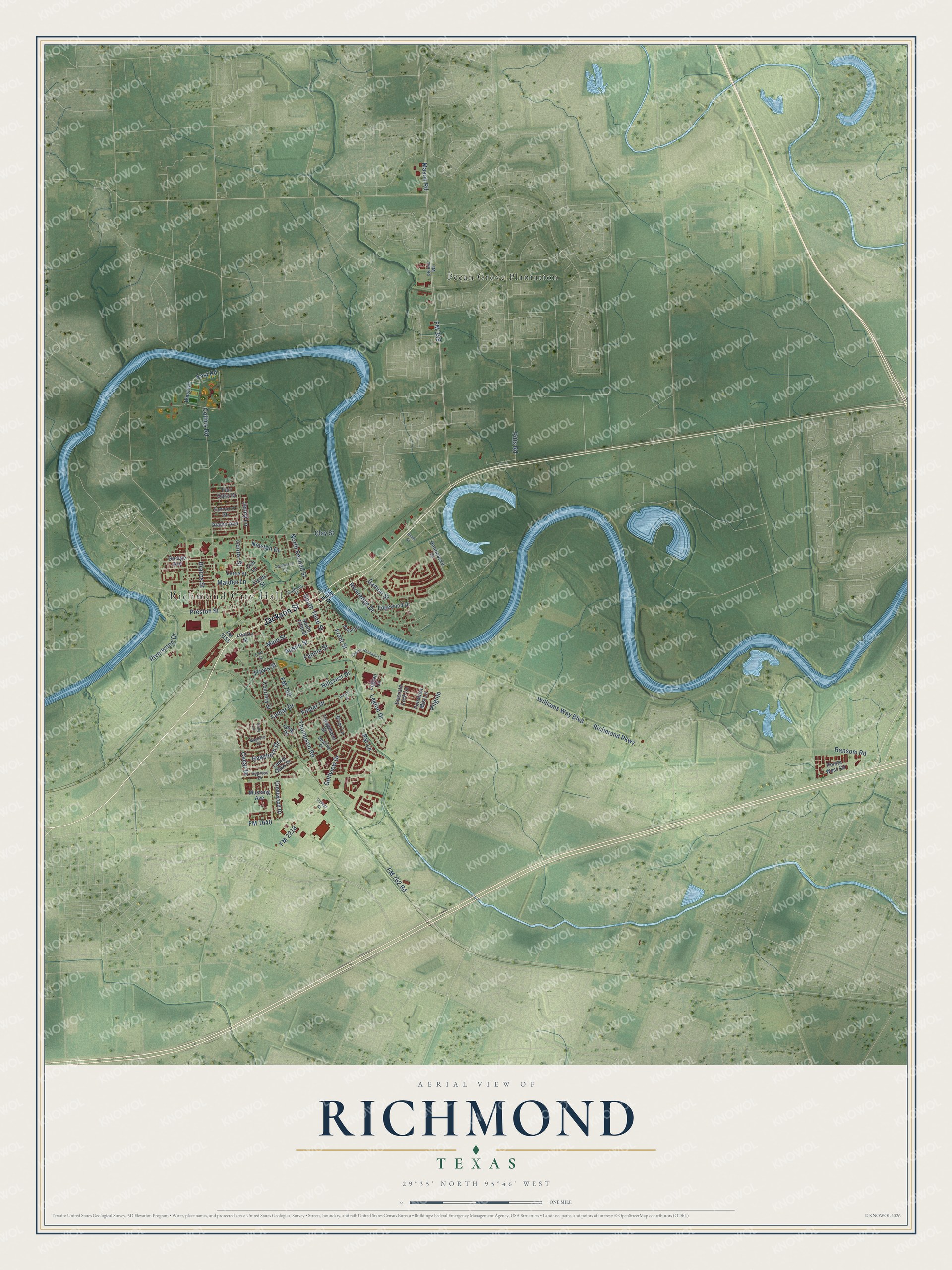
This beautifully detailed map of Richmond, Texas was created in 2026 using aerial imagery combined with modern topographical, census, street and landmark data. It’s a one-of-a-kind view of Richmond that combines accurate data with a vintage aesthetic. The map shows every building in its true location, many of the roads carry their names, and the shaded topographic relief shows the shape of the land.
Explore an aerial view of Richmond, Texas
On the map you’ll find Richmond City Hall and Pecan Grove Plantation, along with Jackson Street, FM 762 Road, FM 359, Thompson Road, FM 1640, Collins Road, FM 762, Richmond Parkway, Preston Street, Williams Way Boulevard, and more. If you look closely you can even find your house accurately drawn in its correct location. Zoom in on the preview to look for yours.
Did you know this piece of Richmond, Texas history?
From the Handbook of Texas: "During the 1930s sidewalks were extended through much of the town, and a large municipal pool was built; Richmond's citizens also approved a bond package that funded a number of other civic improvements, including a new city hall, a modern water system, and new fire-fighting equipment."
Take a closer look at the Richmond map
Street and place names on the Richmond, Texas map
These names are printed on the map of Richmond, Texas.
Places: Richmond City Hall and Pecan Grove Plantation.
Streets and roads: Jackson Street, FM 762 Road, FM 1640, FM 359, Collins Road, Thompson Road, South Third Street, East Road, FM 762, Richmond Parkway, Preston Street, Williams Way Boulevard.
More street names, A to Z
Alamo Avenue, Austin Street, Barrett Street, Bayou Drive, Brazos Street, Briar Lane, Calhoun Street, Cedar Drive, Center Street, Clay Street, College Street, Commerce Street, Concord Street, Courtney Street, Crestwood Drive, Cub Lane, Cypress Drive, Damon Street, Dowling Drive, Edgewood Drive, Emerald Loch Lane, Eugene Heimann Circle, Fair Oaks Drive, Fannin Street, Fields Street, FM 359 Road, FM 2218, FM 3155, Fort Street, Foster Drive, Fountain Mist Lane, Front Street, George Avenue, Golfview Drive, Hawthorn Drive, Hennessey Drive, Hillcrest Drive, Holly Circle, Jenny Lane, Lamar Drive, Laurel Oaks Drive, Legion Drive, Legion Lane, Lettie Street, Liberty Street, Long Drive, Magnolia Lane, Maiden Lane, Main Street, Mason Road, Mustang Avenue, Newton Drive, Ninth Street, North Second Street, Par Lane, Pilgrim, Pitts Road, Pointe West Circle, Ransom Road, Riveredge Drive, Riverwood Drive, South Fifth Street, Tanglelane Street, Travis Street, West Road.
See the Richmond, Texas map on a wall
The Richmond map as an 18 x 24 inch print in a black frame.

This beautifully detailed map of Richmond makes an attractive addition to your office, library, or den, and it can even be used to teach children the geography and history of the area. It also makes a great gift for anyone who grew up in Richmond or moved away. When you’re done exploring, click here to get your copy of the Richmond map.