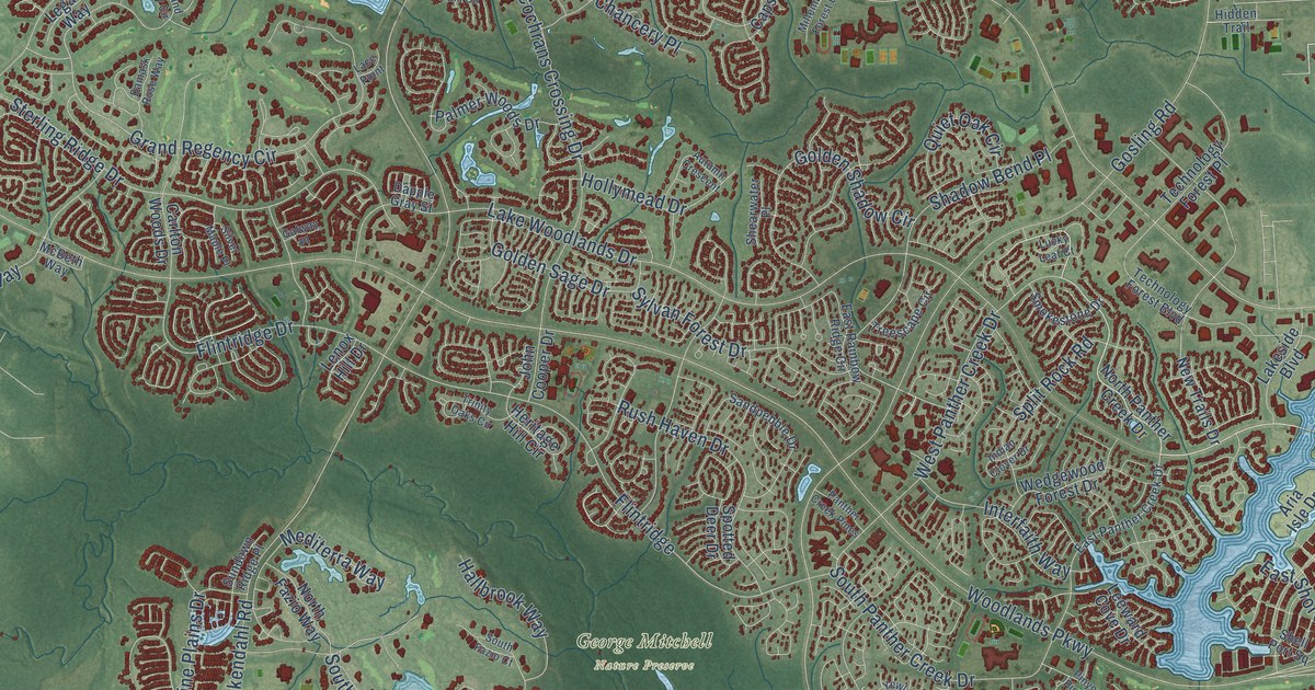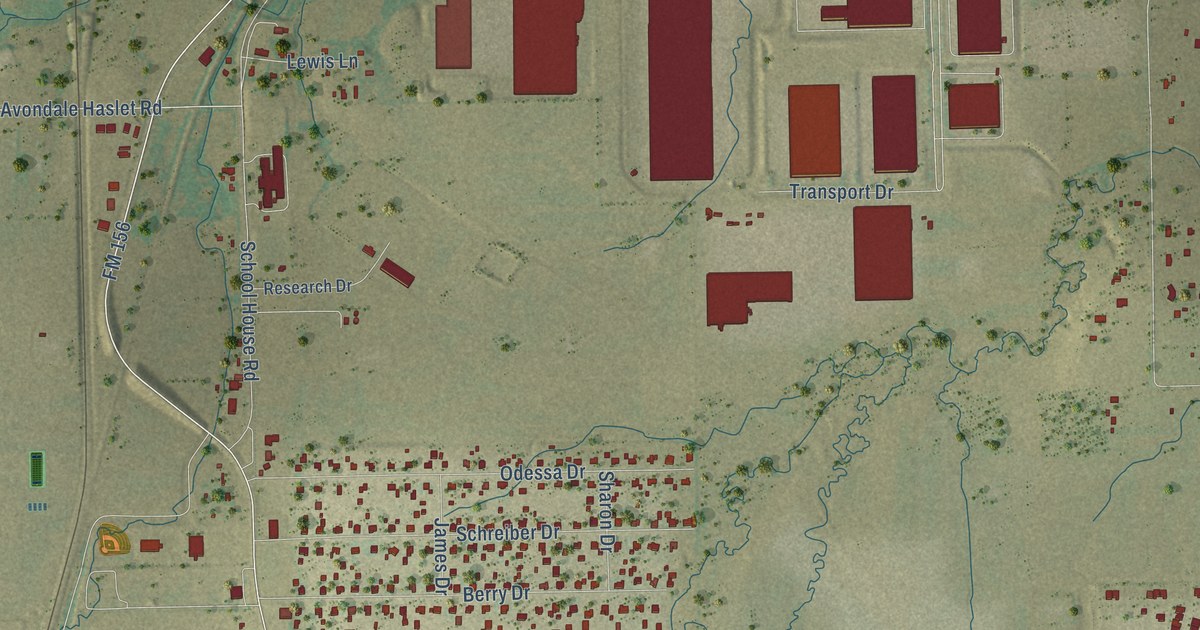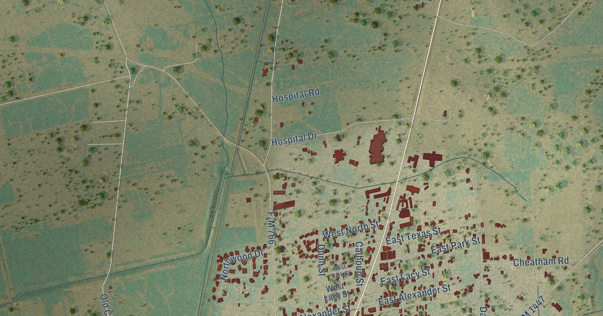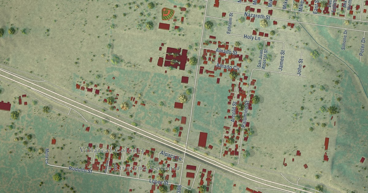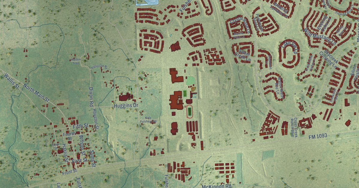
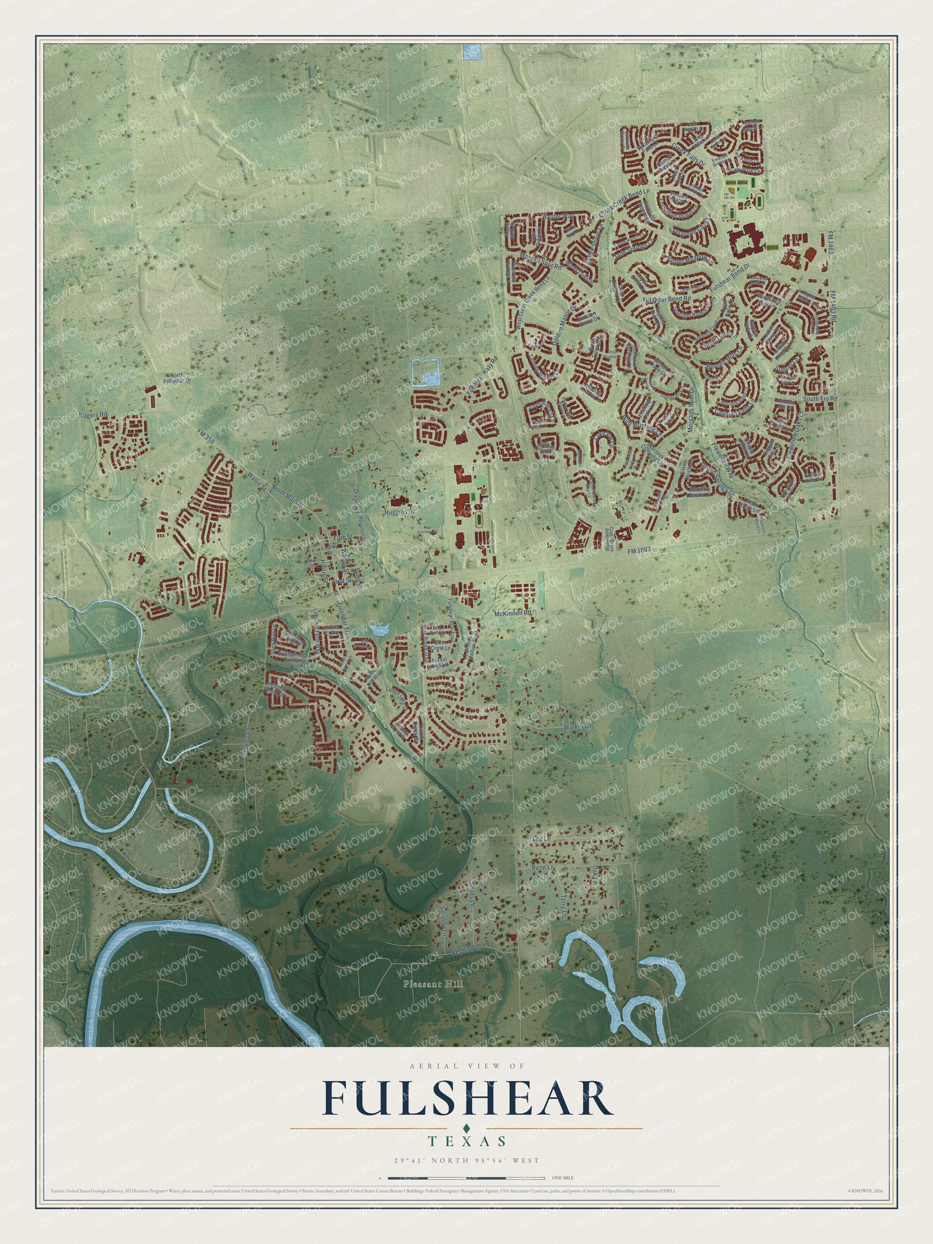
This beautifully detailed map of Fulshear, Texas was created in 2026 using aerial imagery combined with modern topographical, census, street and landmark data. It’s a one-of-a-kind view of Fulshear that combines accurate data with a vintage aesthetic. The map shows every building in its true location, many of the roads carry their names, and the shaded topographic relief shows the shape of the land.
Explore an aerial view of Fulshear, Texas
On the map you’ll find Pleasant Hill, along with Wallis Street, Burnett Hills Lane, FM 1093, Cross Creek Bend Lane, Fulshear Bend Drive, FM 359, Fulshear-Katy Road, FM 1463, FM 1463 Road, Fulshear Bend Road, North Main Street, and more. If you look closely you can even find your house accurately drawn in its correct location. Zoom in on the preview to look for yours.
Did you know this piece of Fulshear, Texas history?
From the Handbook of Texas: "The town recovered quickly from a fire in 1910 that destroyed a block of businesses; within two years downtown Fulshear was so busy that on paydays residents complained that the sidewalks were too crowded to walk on."
Take a closer look at the Fulshear map
Street and place names on the Fulshear, Texas map
These names are printed on the map of Fulshear, Texas.
Places: Pleasant Hill.
Streets and roads: Wallis Street, Burnett Hills Lane, FM 1093, Cross Creek Bend Lane, Fulshear Bend Drive, FM 359, Fulshear-Katy Road, FM 1463, FM 1463 Road, Fulshear Bend Road, North Main Street, Flewellen Oaks Lane.
More street names, A to Z
Afton Heights Lane, Ana Ridge Lane, Arroyo Springs Lane, Aspen Crest Drive, Aspen Falls Lane, Autrey Bend Lane, Autumn Shore Drive, Barberry Banks Lane, Bartlett Vista Court, Blue Ridge Trail, Briarcliff Lane, Briscoe Bend Lane, Buffalo Hills Lane, Cabernet Shores Drive, Caldwell Sky Lane, Calm Brook Lane, Casen Ranch Lane, Caspian Falls Lane, Castle Park Lane, Cedar Elm Lane, Chapel Falls Lane, Cold Stream Court, Country Lane, Creek Falls Drive, Creek Shore Lane, Creekside Park Drive, Crest View Terrrace, Cross Creek Harbor Lane, Cross Creek Ranch Boulevard, Crystal Rose Lane, Damon Creek Lane, Deer Crest Lane, Dixon Road, Edgemont Court, Emerald Brook Lane, Enchanted Shores Lane, Evening Oaks Lane, Evergreen Cove Lane, Farm Hill Way, Fifth Street, First Street, Fleming Rock Lane, Flewellen Place Lane, Flewellen Way, Forest Hill Lane, Fourth Street, Front Street, Fulshear Run Trail, Fulshear Trce, Golden Manor Drive, Harmony Breeze Lane, Harper Meadow Lane, Harris Street, Hauter Way, Hay Field Lane, Hidden Brook Lane, Hidden Trail, Hofffman Springs Lane, Houston Street, Huggins Drive, Hunt Trace Lane, Indigo Ridge Drive, Jade Springs Lane, James Lane, Katy Fulshear Road, Kendalia Cloud Lane, Kenton Place Lane, Knox Prairie Lane, Lake Hill Farm Way, Lake Vw Lp, Lakeway Trail Lane, Lakewind, Laurel Garden Lane, Laurel Grove Lane, Lea Lane, Legend Creek Drive, Liberty Heights Lane, Linden Ridge Lane, Lodge Lake Drive, Long Mill Lane, Maple Glen Drive, Marina Point Lane, McKinnon Road, Meadow Wood Drive, Morgan Spur Road, Morgans Spur Drive, Mustang Ridge Lane, North Fulshear Drive, Oak Lane, Patterson Road, Pedernales Bend Lane, Penn Lane, Pepper Trail Lane, Primrose Valley Lane, Quiet Falls Lane, Redbird Lane, Regatta Run Lane, Rogers Road, Satton Ranch Lane, Sethora Hill Way, Shady Lane, Silver Thistle Lane, Skycreek Crossing Lane, Song Bird Lane, South Fry Road, South Saddle Creek Lane, Spanish Moss Crossing, Spring River Lane, Starlight Harbor Lane, Sunset Lane, Sweet Creek Lane, Sycamore Falls Lane, Symphony Creek Lane, Syms Street, Teal Bay Lane, Terry Lane, Third Street, Trickle Creek Drive, Turning Springs Lane, Twin Knolls Lane, Vineyard Terrace Lane, Walker Lane, Walton Water Way Lane, Water Terrace Lane, West Cross Creek Bend Lane, West Farm Way, Wild Garden Court, Wild Mustang Lane, Wilson Street, Wilson Trace Lane, Windcrest Key Lane, Winding Terrace Lane, Windy Oaks Drive, Woods Hollow Trail.
See the Fulshear, Texas map on a wall
The Fulshear map as an 18 x 24 inch print in a black frame.

This beautifully detailed map of Fulshear makes an attractive addition to your office, library, or den, and it can even be used to teach children the geography and history of the area. It also makes a great gift for anyone who grew up in Fulshear or moved away. When you’re done exploring, click here to get your copy of the Fulshear map.