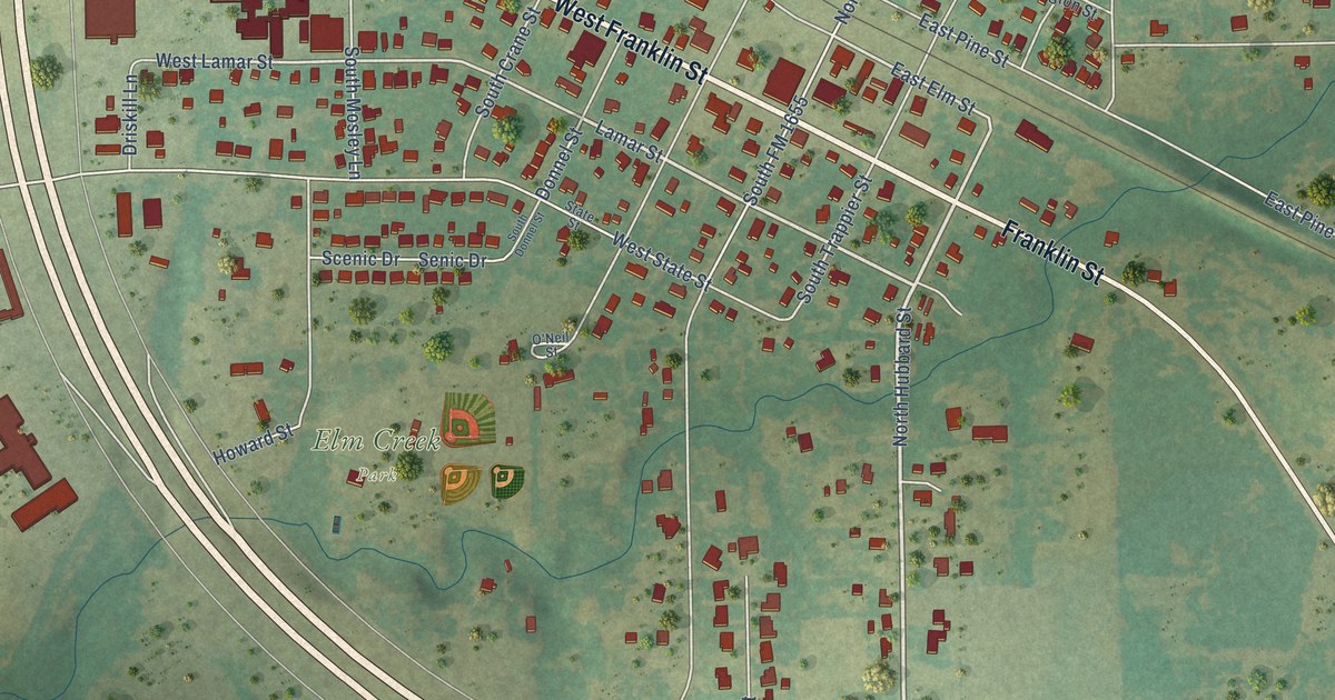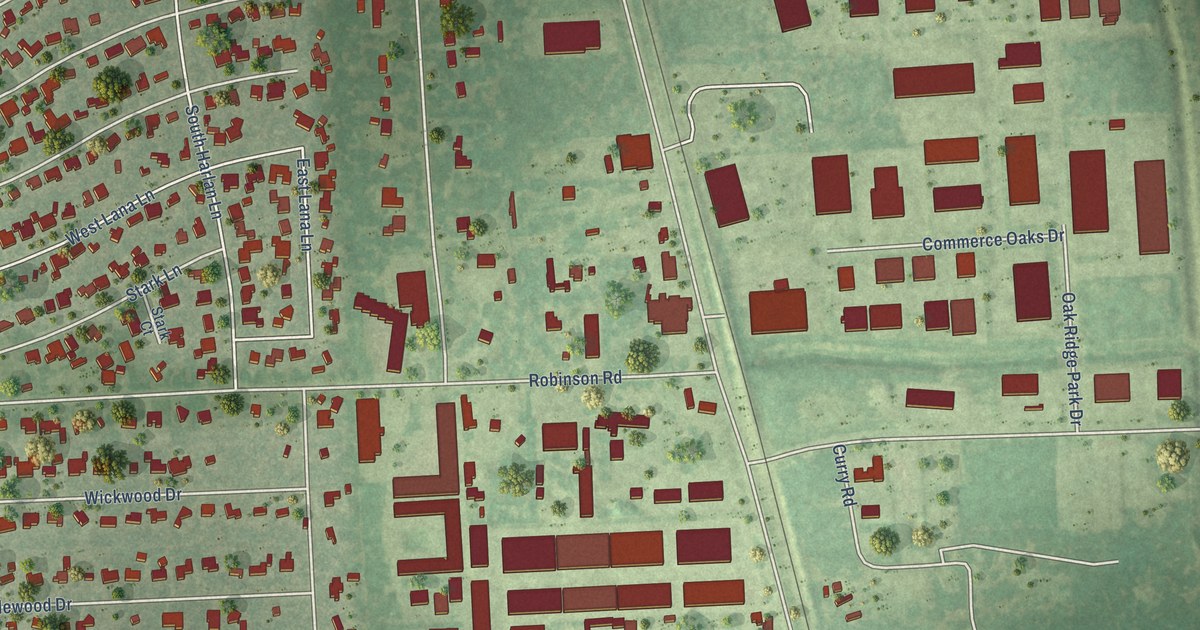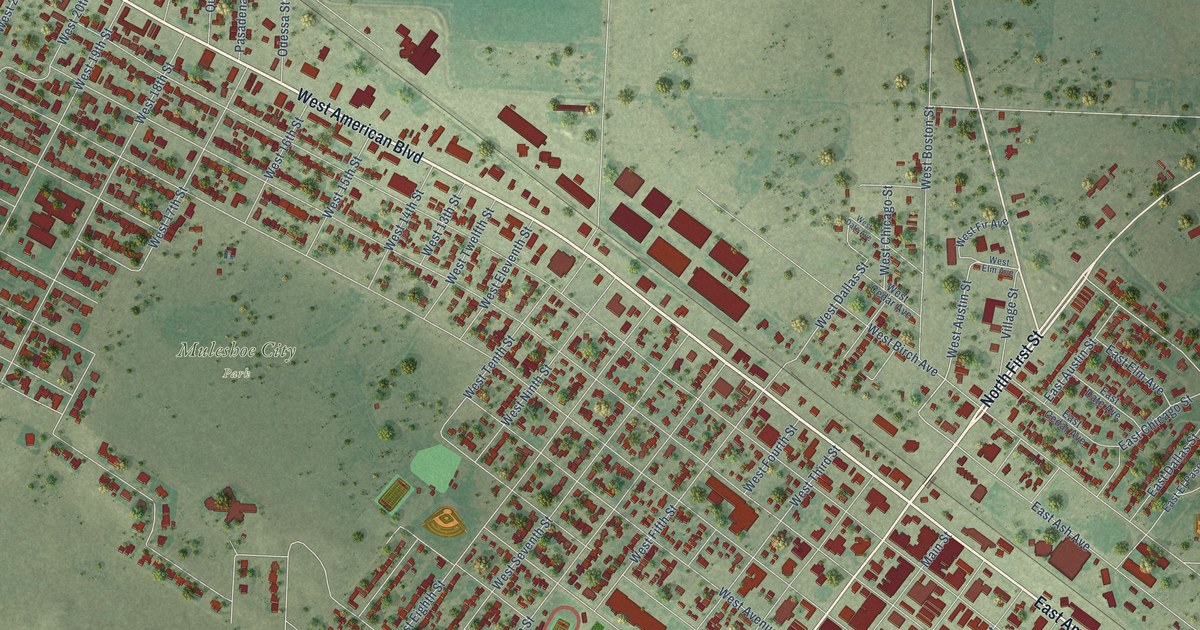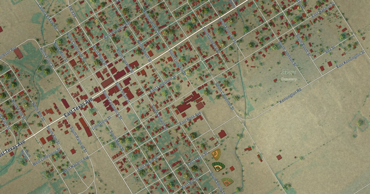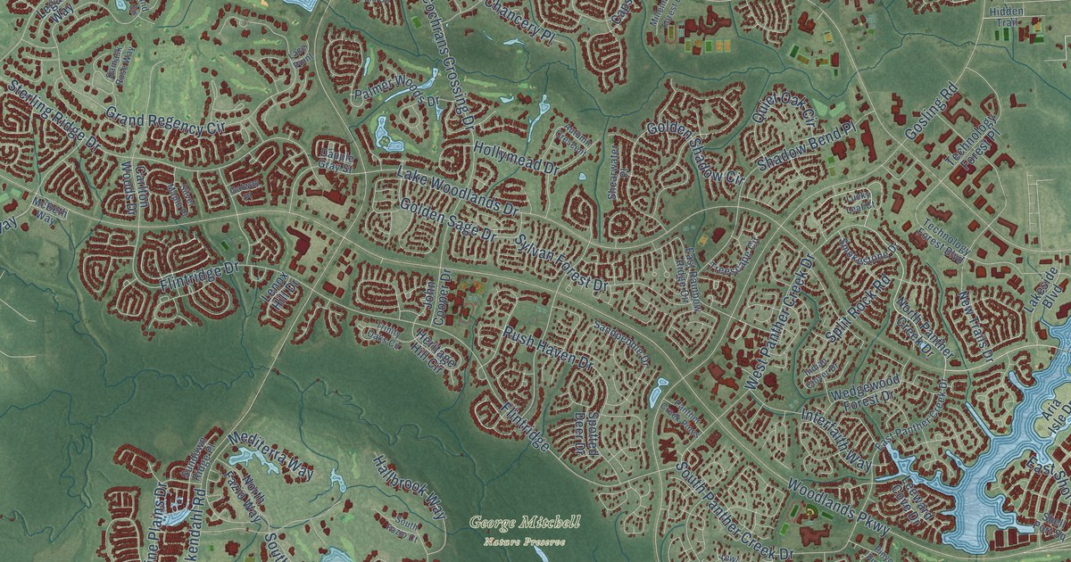
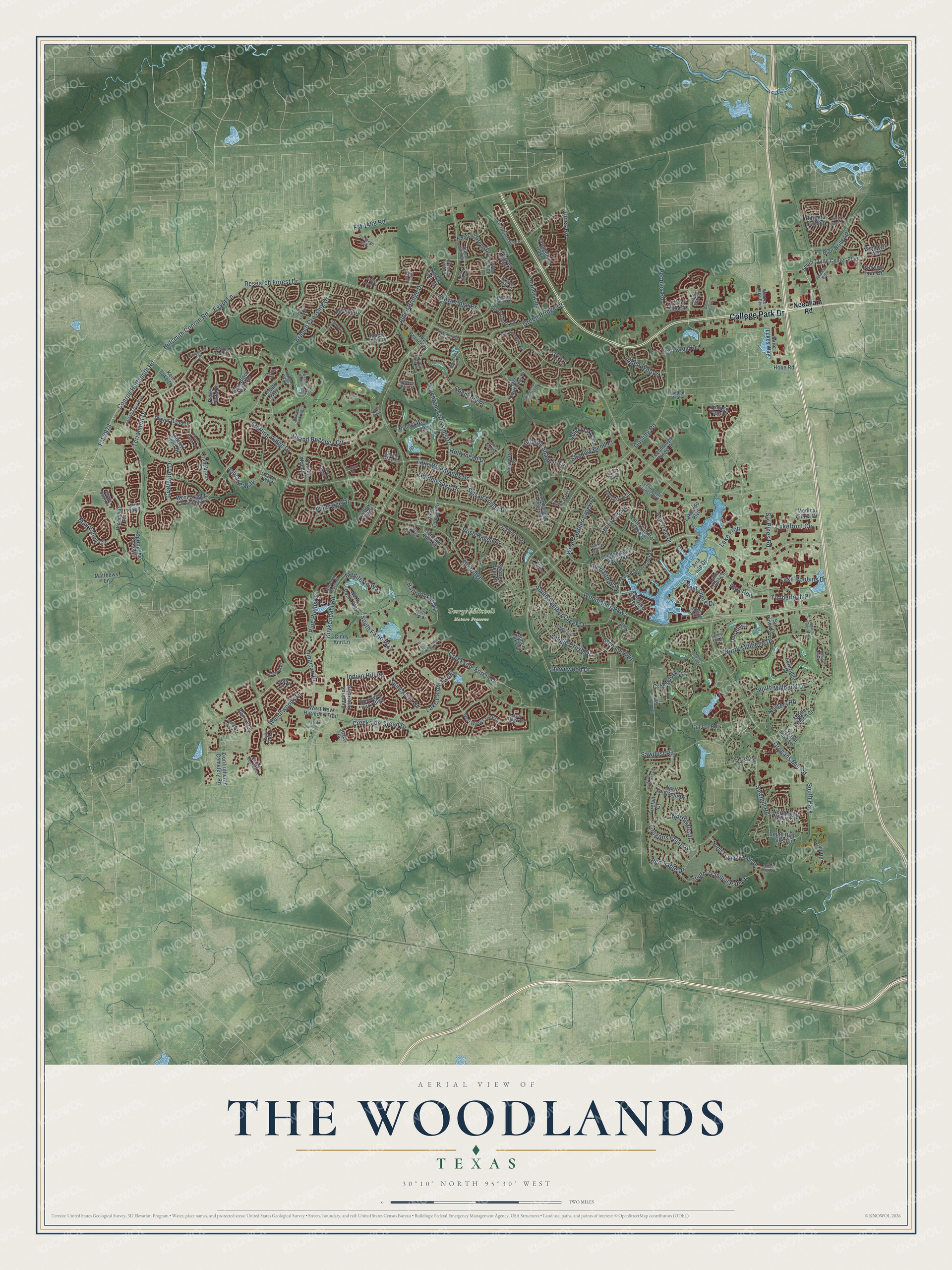
This beautifully detailed map of The Woodlands, Texas was created in 2026 using aerial imagery combined with modern topographical, census, street and landmark data. It's a modern aerial view of The Woodlands in Montgomery County, Texas, that combines modern data with a vintage aesthetic. The roads feature printed names, and if you look closely you can find your exact house accurately shown in its correct location.
Explore an aerial view of The Woodlands, Texas
On this map you'll find George Mitchell Nature Preserve, College Park Drive, Lake Woodlands Drive, Terramont Drive, Woodlands Parkway, Kuykendahl Road, Research Forest Drive, Gosling Road, Creekside Forest Drive, Grogans Mill Road, Alden Bridge Drive, Cochrans Crossing Drive, and more. Each red shape is a building, so zoom in on the preview and look for yours.
Here is a piece of The Woodlands history, in the words of the record. The Handbook of Texas puts it this way: "In 1972 the Mitchell Energy and Development Corporation , as a response to the growth of nearby Houston, began to build, on 23,000 acres, a planned community called The Woodlands. The first homes were ready for purchase in 1974, and by 1980 the community had a population of 11,197, six schools, six parks, five churches, and a public library."
The Woodlands is a community in Montgomery County. The Census Bureau counted 114,436 people here in 2020.
Take a closer look at The Woodlands map
Names on this map
These names are printed on this map.
Places: George Mitchell Nature Preserve and South Park.
Streets and roads: College Park Drive, Lake Woodlands Drive, Terramont Drive, Woodlands Parkway, Kuykendahl Road, Research Forest Drive, Gosling Road, Creekside Forest Drive, Grogans Mill Road, Alden Bridge Drive, Cochrans Crossing Drive, Branch Crossing Drive.
More street names, A to Z
Acorn Oak Street, Acrewoods Place, Alden Glen Drive, Alden Woods, Angel Leaf Road, Aria Isle Drive, Ashlane Way, Autumn Branch Drive, Autumn Crescent, Azrock Road, Bartlett Bend Drive, Bay Branch Drive, Black Swan Place, Blair Bridge Drive, Blairs Way, Bloomhill Place, Bristol Oak Circle, Candle Pine Place, Carlton Woods Drive, Chancery Place, Charter Club Drive, Cindy Ann Lane, Conroe Huffsmith Road, Craftwood Drive, Cranebrook Drive, Creekside Green Drive, Crossvine Circle, Crownridge Drive, Crystal Lake Lane, Damask Rose Way, Dapple Gray Street, Dawnwood Drive, Del Webb Boulevard, Doe Run Drive, Eagle Mead Place, East Amberglow Circle, East Black Night Drive, East Capstone Place, East Montfair Boulevard, East Panther Creek Drive, East Rainbow Ridge Circle, East Shore Drive, Egypt Lane, Elander Blossom Drive, Evangeline Oaks, Fairwind Trail Drive, Fellowship Drive, Fernridge Drive, Firefall Court, Flintridge, Flintridge Drive, FM 1488 Road, FM 2978, Galway Place, Gauntlet Drive, Gildwood Place, Glen Loch Drive, Golden Road, Golden Sage Drive, Golden Shadow Circle, Grand Regency Circle, Green Bridge Drive, Green Gables Circle, Grogans Point Road, Hallbrook Way, Harpers Landing, Heritage Hill Circle, Hidden Trail, Hollymead Drive, Hope Road, Hufsmith Conroe Road, Indian Clover Drive, Indian Hill Road, Interfaith Way, Jetoma Road, John Cooper Drive, Jones Road, Kayak Ridge Drive, Kendall Green Drive, Kendrick Pines Boulevard, Ken Lake Drive, Lace Point, Lake Front, Lakefront Circle, Lake Front Circle, Lake Paloma Trail, Lake Robbins Drive, Lakeside Boulevard, Lattice Gate Street, Leeward Cove Drive, Legato Way, Lenox Hill Drive, Lucky Leaf Court, Many Pines Road, Maple Branch Street, Maple Path Place, Marquise Oaks Place, Matthews Lane, May Valley Circle, May Valley Drive, McBeth Way, Mc Donald Road, Meadowridge Place, Medical Plaza Drive, Mediterra Way, Millennium Forest Drive, Millport Drive, Needham Road, New Trails Drive, Norlund Way, North Fazio Way, Northgate Drive, North High Oaks Circle, North Longspur Drive, North Millbend Drive, North Panther Creek Drive, North Tranquil Path Drive, Northway Drive, Nursery Road, Palmer Woods Drive, Panther Creek Pines, Peoples Road, Pine Plains Drive, Pinyon Pine Drive, Player Bend Drive, Player Green Place, Player Vista Place, Pleasant Bend Drive, Prairie Dawn Circle, Pronghorn Place, Pruitt Road, Quiet Oak Circle, Red Sable Drive, Riva Row, Rockwell Park Boulevard, Rolling Links Court, Rush Haven Drive, Saint Lukes Way, Sandpebble Drive, Sawdust Road, Sawmill Road, Shadow Bend Place, Shearwater Place, Shell Port Square, Sienna Bend Drive, Silver Maple Place, Simon Lake Lane, Six Pines Drive, Six Pines Road, Slatestone Circle, Smokestone Drive, Sorrel Tree Place, South Fazio Court, South Fazio Way, South High Oaks Circle, South Millbend Drive, South Panther Creek Drive, South Trade Center Boulevard, South Tranquil Path Drive, South Watertree Lane, Spincaster Drive, Split Rock Road, Spotted Deer Drive, Springtime Creek Drive, Star Iris Place, Sterling Ridge Drive, Strake Drive, Sundown Ridge Place, Sylvan Forest Drive, Talbot Bend, Tangle Brush Drive, Technology Forest Boulevard, Technology Forest Place, Timarron Drive, Timberloch Place, Timber Mill Street, Treescape Circle, Trinity Oaks Circle, Victoria Glen Drive, Vintage Path Place, Waterford Bend, Wedgewood Forest Drive, Welston Terrace Drive, Wendtwoods Drive, West Branch Crossing Drive, West Campus Drive, West Grand Regency Circle, West Lost Pond Circle, West New Harmony Trail, West Panther Creek Drive, West Wilde Creek Drive, West Windvale Circle, Wild Ridge Drive, Wimberly Way, Wind Harp Place, Windsor Lake Boulevard, Wisteria Walk Circle, Wooded Brook Drive, Wyatt Oaks Drive, Yewleaf Road, Zion Lutheran Cemetery Road.
Created by KNOWOL in 2026. The buildings are small red shapes, the roads carry their printed names, and shaded relief shows the shape of the land. The title panel reads "AERIAL VIEW OF THE WOODLANDS TEXAS" with 30°10' NORTH 95°30' WEST.
It suits a den, a classroom or a front hall, and it makes a gift for anyone with The Woodlands roots. Open the preview and find the block you know. See sizes and frames for The Woodlands map.