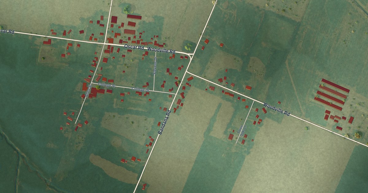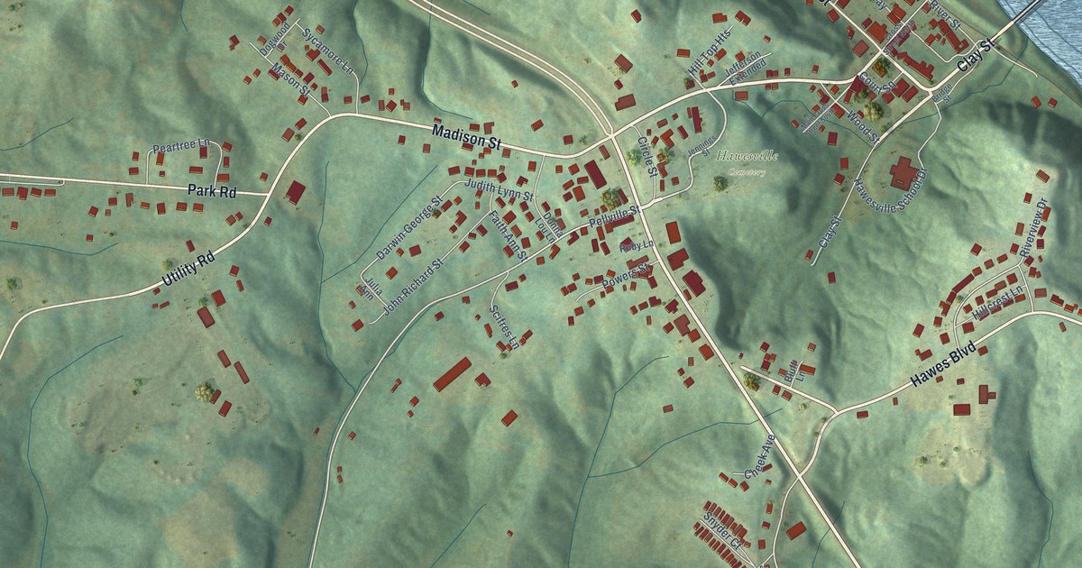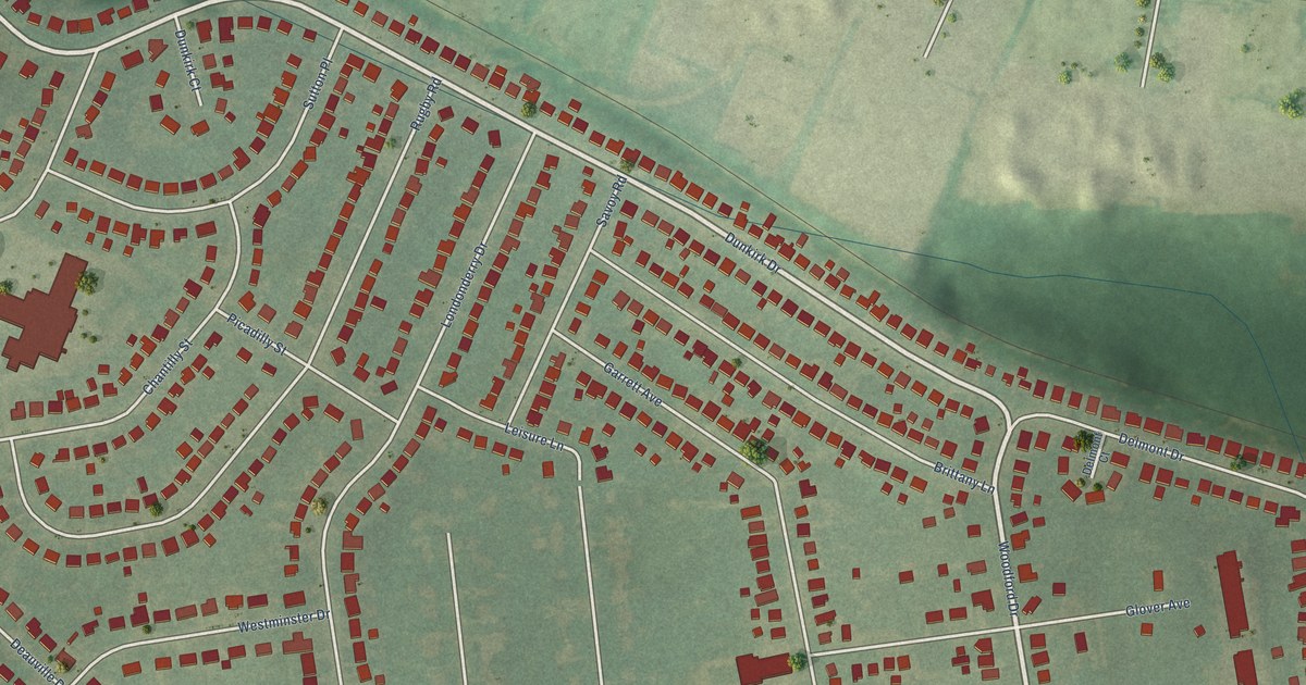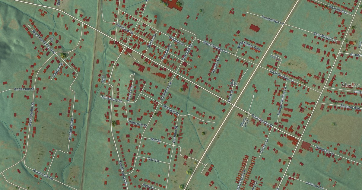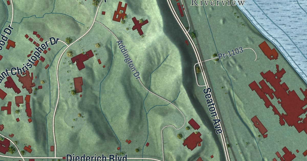
This beautifully detailed map of Russell, Kentucky was created in 2026 using aerial imagery combined with modern topographical, census, street and landmark data. It’s a one-of-a-kind view of Russell that combines accurate data with a vintage aesthetic. The map shows every building in its true location, many of the roads carry their names, and the shaded topographic relief shows the shape of the land.
Explore an aerial view of Russell, Kentucky
On the map you’ll find Riverview, along with Seaton Drive, Bellefonte Road, Belfonte Street, Russell-Worthington Road, Indian Run Road, Seaton Avenue, Diederich Boulevard, Kenwood Drive, Ashland Drive, Saint Christopher Drive, Ferry Street, and more. If you look closely you can even find your house accurately drawn in its correct location. Zoom in on the preview to look for yours.
Did you know this piece of Russell, Kentucky history?
From the Kentucky Atlas and Gazetteer: "In 1869 a new town was established by John Russell and the Means and Russell Iron Company."
Take a closer look at the Russell map
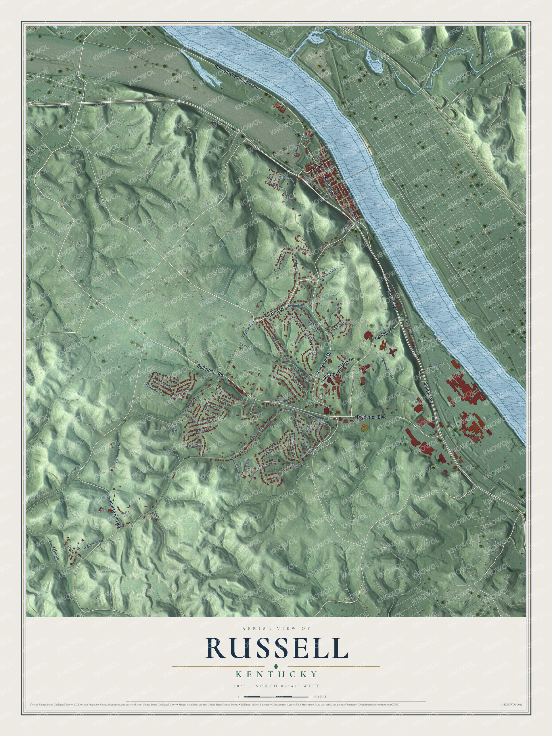
Street and place names on the Russell, Kentucky map
These names are printed on the map of Russell, Kentucky.
Places: Riverview.
Streets and roads: Seaton Drive, Bellefonte Road, Belfonte Street, Seaton Avenue, Diederich Boulevard, Kenwood Drive, Ashland Drive, Russell-Worthington Road, Saint Christopher Drive, Indian Run Road, Ferry Street, Red Devil Lane.
More street names, A to Z
Addington Drive, Amherst Drive, Arizona Drive, Audobon Court, Bear Run Road, Belhaven Drive, Bellefonte Circle, Belleview Drive, Berkshire Lane, Blantel Drive, Bluebird Drive, Bobolink Road, Brentwood Drive, Bryal Drive, Camelot Court, Cardinal 2 Court, Cardinal Road, Cherry Hill, Country Club Drive, Crestview Road, Cs-2189, Cs-3003, Cs-3015, Cs-3027, Cs-3061, Cs-3104, Cypress Point Court, Division Street, Dowler Street, Erwin Road, Etna Street, Fox Drive, Gesling Road, Grove Street, Harmony Hill, Harris Way, Hillcrest Court, Houston Street, India Drive, Ivy Lane, Kaera Lane, Kenwood Boulevard, Lynwood Court, McCown Street, Meadowlark Road, Monroe Drive, Mount Zambos Lane, Oak Street, Oma Drive, Partridge Drive, Pollitt Road, Poplar Street, Pr-1103, Radford Drive, Railroad Street, Regis Street, Ridge Street, Riverside Drive, Riverview Road, Robin Road, Rockgate Road, Short White Oak Road, Sparrow Court, Sunset Court, Sunset Drive, Terrace Court, Thompson Road, Verna Drive, Vernon Street, Walters Drive, Windermere Drive, Woodtrace Drive.
See the Russell, Kentucky map on a wall
The Russell map as an 18 x 24 inch print in a black frame.

This beautifully detailed map of Russell makes an attractive addition to your office, library, or den, and it can even be used to teach children the geography and history of the area. It also makes a great gift for anyone who grew up in Russell or moved away. When you’re done exploring, click here to get your copy of the Russell map.