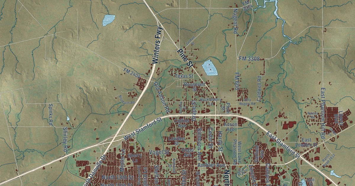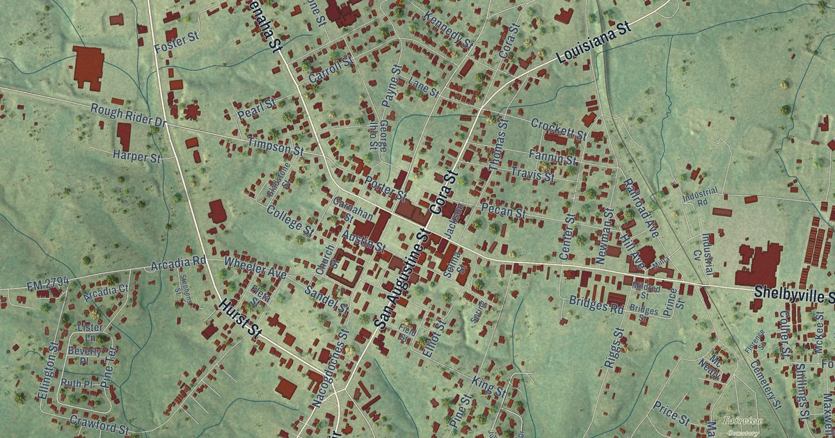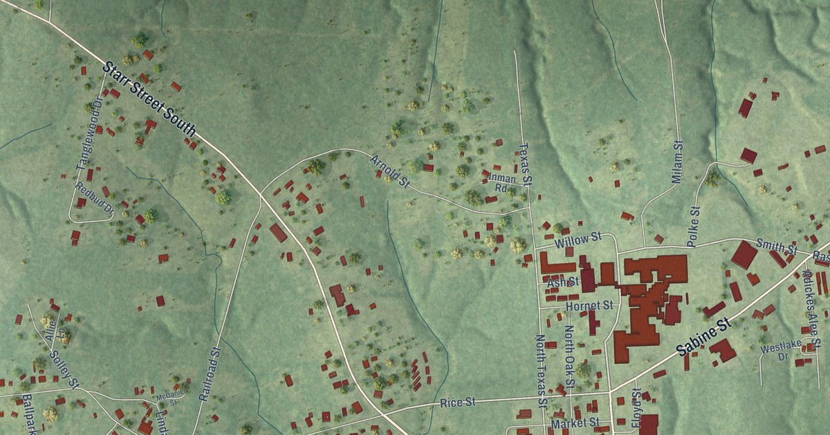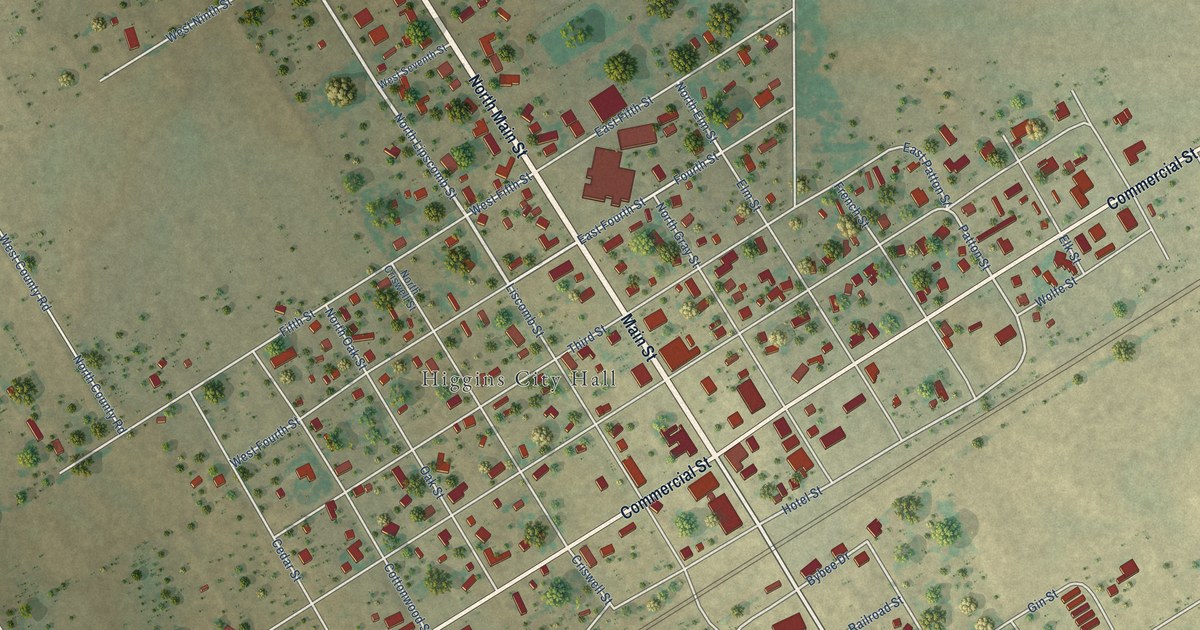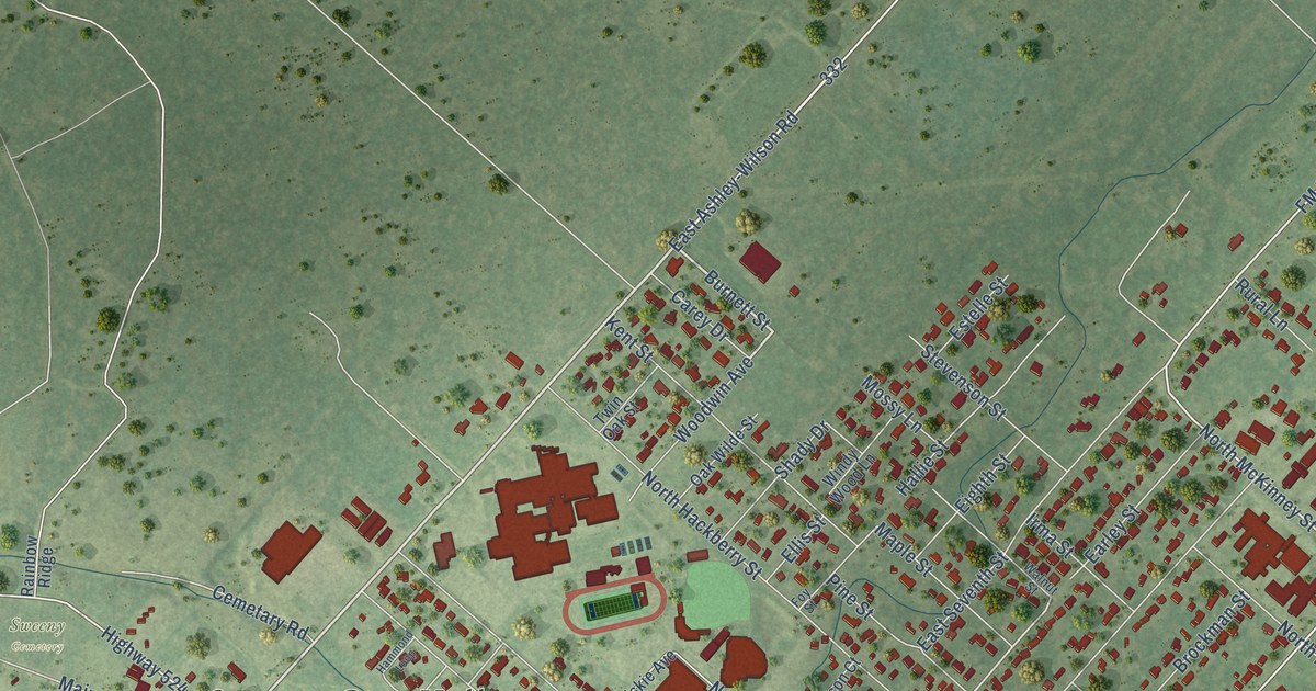
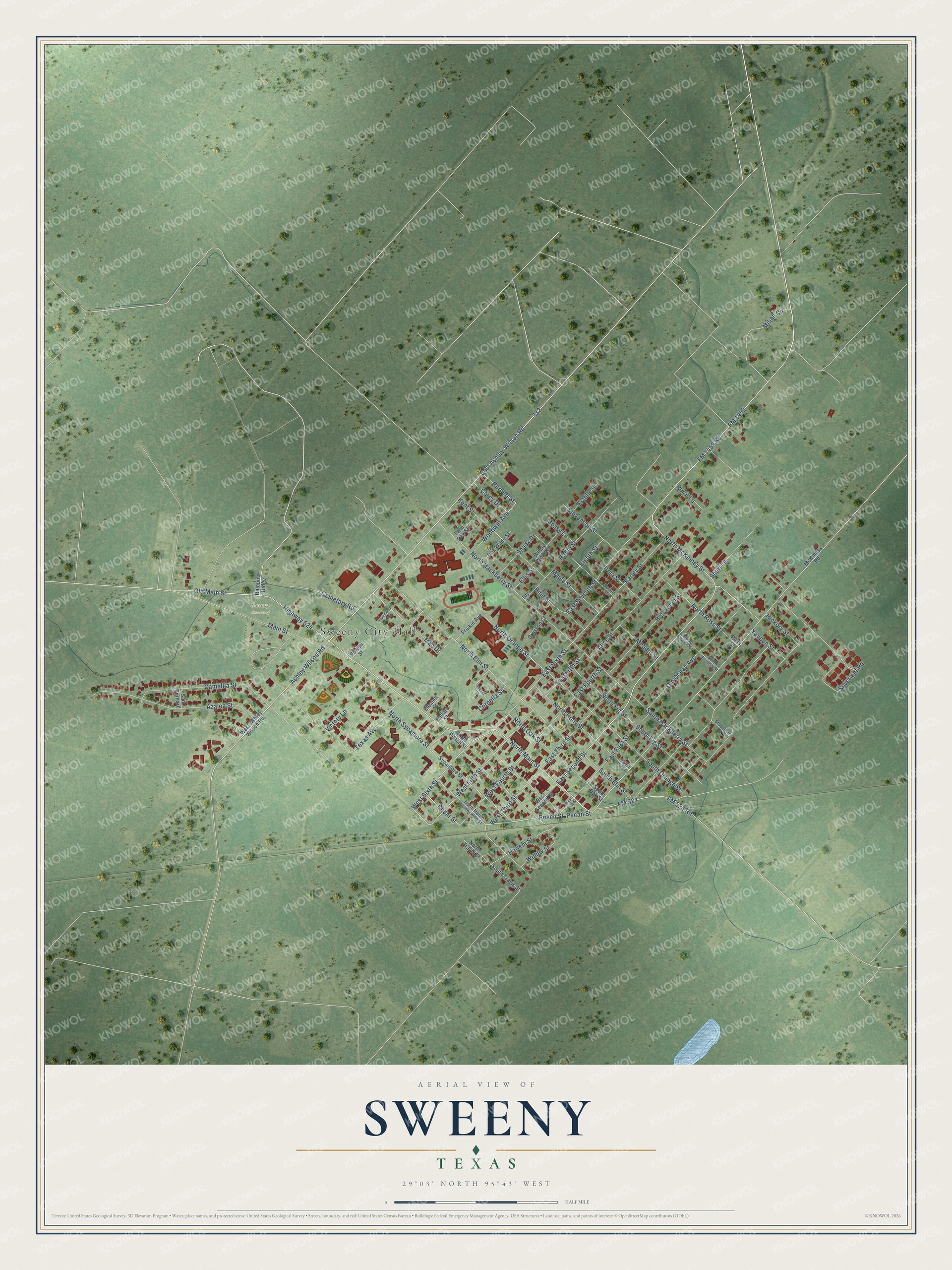
This beautifully detailed map of Sweeny, Texas was created in 2026 using aerial imagery combined with modern topographical, census, street and landmark data. It’s a one-of-a-kind view of Sweeny that combines accurate data with a vintage aesthetic. The map shows every building in its true location, many of the roads carry their names, and the shaded topographic relief shows the shape of the land.
Explore an aerial view of Sweeny, Texas
On the map you’ll find Sweeny City Hall and Sweeny Cemetery, along with East Ashley-Wilson Road, North Main Street, Ashley Wilson Road, FM 524, Burnett Street, FM 1459, Old Main Street, West Sixth Street, FM 1459 Road, East Second Street, and more. If you look closely you can even find your house accurately drawn in its correct location. Zoom in on the preview to look for yours.
Did you know this piece of Sweeny, Texas history?
From the Handbook of Texas: "According to various sources, the town was named for the family of John Sweeny, who arrived from Tennessee with family members and 250 slaves in 1833."
Take a closer look at the Sweeny map
Street and place names on the Sweeny, Texas map
These names are printed on the map of Sweeny, Texas.
Places: Sweeny City Hall and Sweeny Cemetery.
Streets and roads: East Ashley-Wilson Road, North Main Street, Ashley Wilson Road, FM 524, Burnett Street, FM 1459, Old Main Street, West Sixth Street, FM 1459 Road, East Second Street, East Sixth Street, West Fifth Street.
More street names, A to Z
Alice Street, Azalea Street, Ballard Street, Brockman Street, Camellia Street, Carey Drive, Cedar Street, Cemetary Road, Cornelia Street, Crosson Court, Earley Street, East Fifth Street, East First Street, East Fourth Street, East Seventh Street, East Third Street, Eighth Street, Eleanor Street, Ellis Street, Estelle Street, FM 524 Road, Foy Street, Friskie Avenue, Hallie Street, Hammond Loop, Harlem Street, Hickory Street, Highway 524, Idanel Street, Irma Street, Kent Street, Mac Drive, Main Street, Maple Street, McKinney Road, Meador Street, Milian Circle, Mossy Lane, North Elm Street, North Fig Street, North Francis Street, North Hackberry Street, North Holly Street, North Martin Luther King Street, North McKinney Street, North Oak Street, North Orange Street, North Peach Street, North Ross Street, North Sycamore Street, North Travis Street, Oak Wilde Street, Old Ocean Avenue, Peach Street, Pecan Street, Pine Street, Powell Street, Rainbow Ridge, Ross Street, Rural Lane, San Bernard, Shady Drive, Shari Lane, Silverleaf Road, South Elm Street, South Fig Street, South Francis Street, South Hackberry Street, South Holly Street, South Oak Street, South Orange Street, South Travis Street, Stevenson Street, Stockman Street, Sycamore Street, Texas Avenue, Twin Oak Street, Victory Lane, Walnut Street, West Ashley Wilson Road, West First Street, West Fourth Street, West Second Street, West Third Street, Willow Street, Windy Wood Lane, Woodwin Avenue, Yaupon Street.
See the Sweeny, Texas map on a wall
The Sweeny map as an 18 x 24 inch print in a black frame.

This beautifully detailed map of Sweeny makes an attractive addition to your office, library, or den, and it can even be used to teach children the geography and history of the area. It also makes a great gift for anyone who grew up in Sweeny or moved away. When you’re done exploring, click here to get your copy of the Sweeny map.