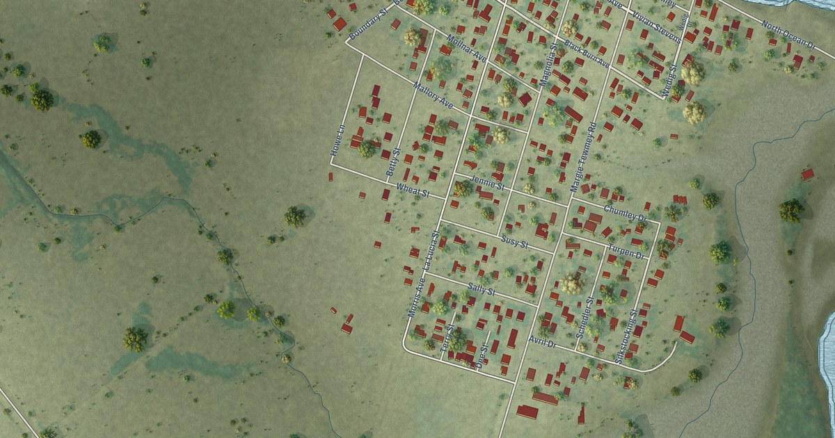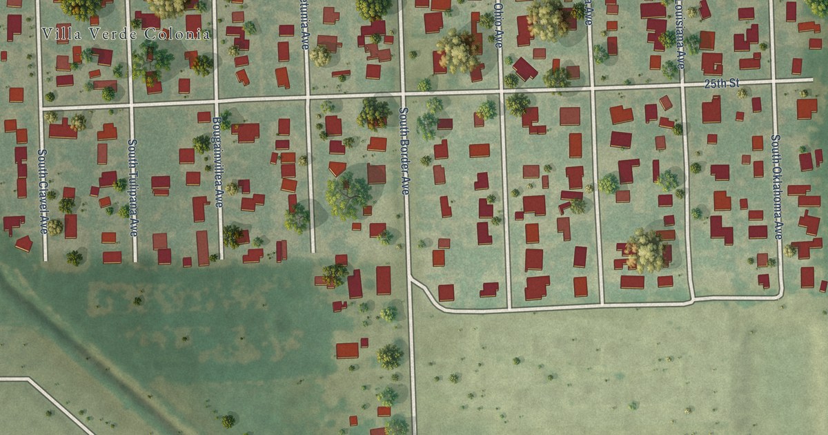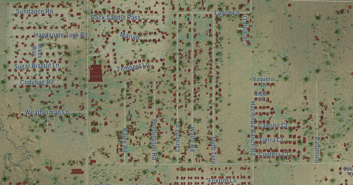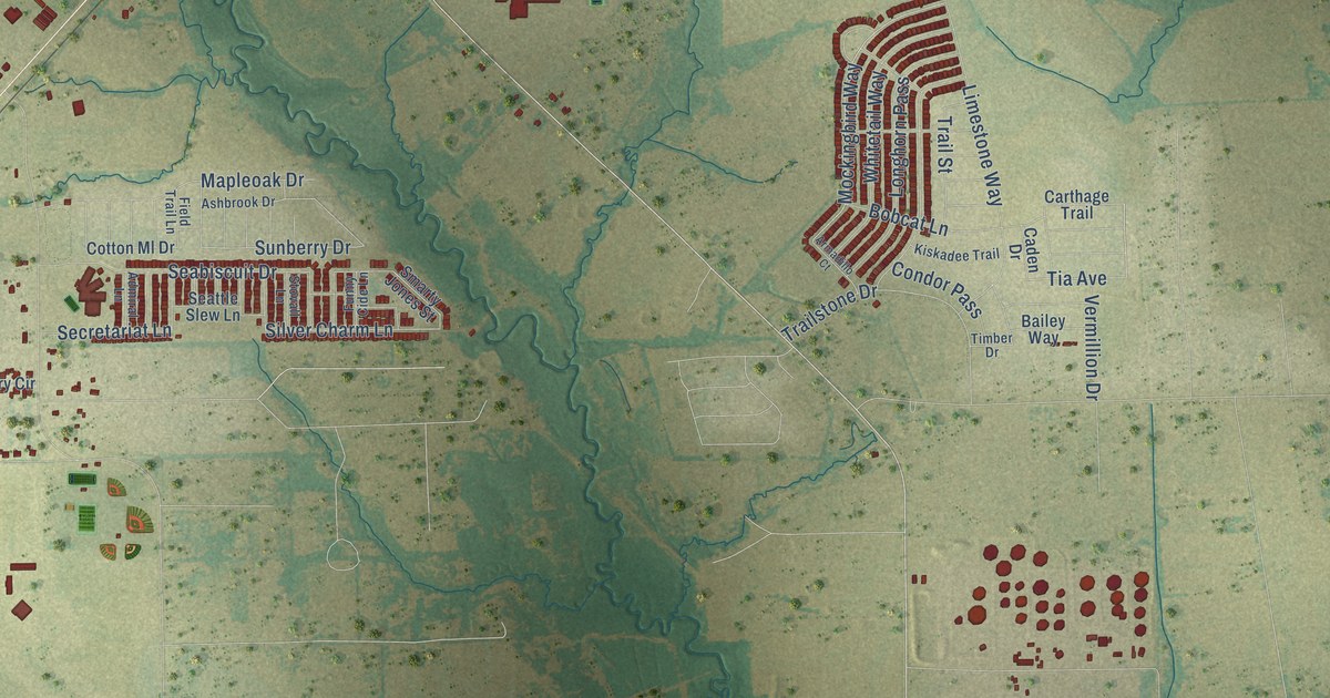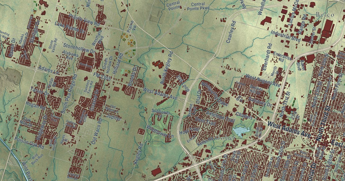
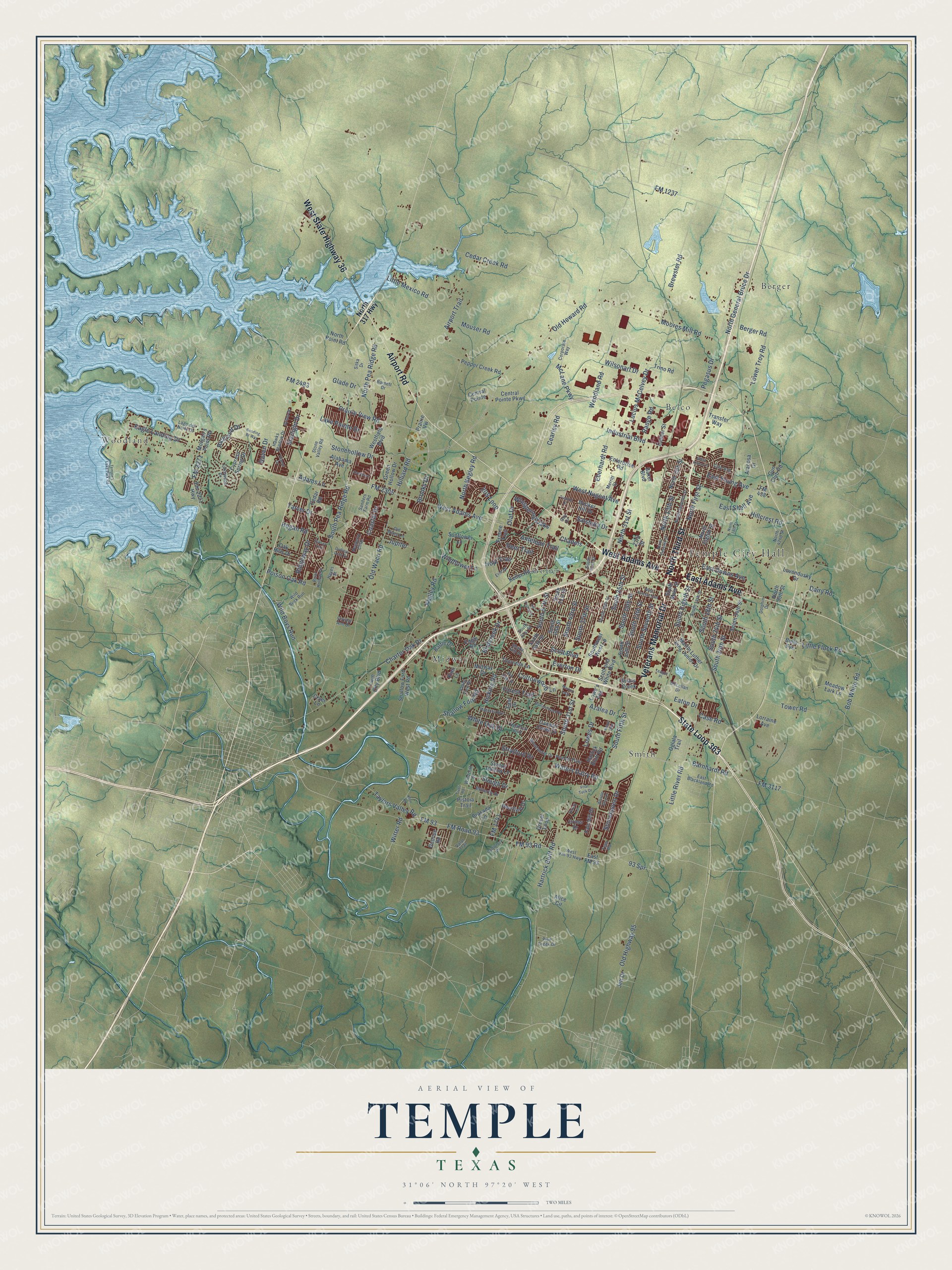
This beautifully detailed map of Temple, Texas was created in 2026 using aerial imagery combined with modern topographical, census, street and landmark data. It’s a one-of-a-kind view of Temple that combines accurate data with a vintage aesthetic. The map shows every building in its true location, many of the roads carry their names, and the shaded topographic relief shows the shape of the land.
Explore an aerial view of Temple, Texas
On the map you’ll find Temple City Hall, Belco, Berger, Gober, Midway, Smith, and Woodland, along with Airport Road, North Third Street, Veterans Memorial Drive, State Loop 363, West State Highway 36, and more. If you look closely you can even find your house accurately drawn in its correct location. Zoom in on the preview to look for yours.
Did you know this piece of Temple, Texas history?
From the Handbook of Texas: "The Santa Fe Hospital was established in Temple in 1891, King’s Daughters Hospital in 1897, and Scott and White Hospital in 1904, making Temple one of the leading medical centers in the Southwest."
Take a closer look at the Temple map
Street and place names on the Temple, Texas map
These names are printed on the map of Temple, Texas.
Places: Temple City Hall, Belco, Berger, Gober, Midway, Smith and Woodland.
Streets and roads: Airport Road, North Third Street, Veterans Memorial Drive, State Loop 363, West State Highway 36, East Adams Avenue, West Adams Avenue, South 19th Street, North General Bruce Drive, Industrial Boulevard, McLane Parkway, FM 1237.
More street names, A to Z
23rd Street, 93 Spr, 205 Loop, Adams Lane, Airport Trail, Alabama Avenue, Alice Circle, Antelope Trail, Atacosa Drive, Azalea Drive, Baker Boulevard, Barnett Drive, Barnhardt Road, Battle Drive, Bending Br Way, Berger Road, Birdcreek Drive, Bob White Road, Brasada Lane, Brewster Road, Briar Hollow Drive, Brooks Drive, Bulls Eye, Bunker Hill Drive, Butterfly Drive, Canyon Creek Drive, Case Road, Castlerock Drive, Cearley Road, Cedar Creek Road, Cedar Road, Center Street, Central Pointe, Central Pointe Parkway, Chadels, Charter Oak Drive, Coastal Drive, Cole Avenue, Corporate Way, Cottonwood Lane, Cross Drive, Cryer Lane, Crystal Ann Drive, Cypress Spring Drive, Dairy Road, Deerfield Drive, Deer Trail, Dolphin Drive, Drexel Loop, Drury Lane, Dubose Road, Dudleys Draw Drive, Eagle Landing Drive, Eagle Road, East Blackland Road, East Downs Avenue, East Drive, East FM 93, East Shell Avenue, East Young Avenue, Eaton Drive, Eberhardt Road, Enterprise Road, Erie Drive, Ermine Trail, Everton Drive, Fair Hill Drive, Fm-2271 Highway, FM 93, FM 93 Road, FM 438, FM 1741, FM 2271, FM 2305, FM 2483, FM 3117, FM Road 93, Forest Trail, Friars Creek, Friar Tuck Drive, Glade Drive, Green Hollow Drive, Gun Club Road, Guy Drive, Hartick Bluff Road, Hartrick Bluff Road, Hawks Shadow Drive, Hawthorn, Hayes Street, Hemlock Boulevard, Hickory Road, Hillcrest Road, Hilliard Road, Hogan Road, Hopi Trail, Ira Young Drive, Jett Drive, Jupiter, Kegley Road, Keller Road, Kimi Lane, Kton Road, Lago del Norte Drive, Lake Pointe Drive, Lakewood Drive, Lavendusky Drive, Little Flock Road, Little Mexico Road, Little River Road, Lorraine Avenue, Lowe's Avenue, Lower Troy Road, Lowes Drive, Lucius McCelvey Drive, Magnolia Boulevard, Market Loop, Marlandwood Road, Martin Luther King Junior Drive, McLellan Drive, Meadow Lark Lane, Merritt Street, Midway Drive, Moores Mill Road, Morgan's Point Road, Mouser Road, Neuberry Cliffe, North 13th Street, North 15th Street, North 18th Street, North 31st Street, North 42nd Street, North 50th Street, North 317 Highway, North Eighth Street, North Eleventh Street, North First Street, North Kegley Road, North Pea Ridge Road, North Point Road, North Seventh Street, Oak Hills Drive, Oglala Trail, Olaf Drive, Old Highway 95, Old Howard Road, Old Waco Lane, Old Waco Road, Orion Drive, Peanut Drive, Pegasus Drive, Pepper Creek Road, Pin Oak Drive, Pipe Creek Drive, Pistoia Trail, Poison Oak Road, Prairie View Road, Prairie Vw, Pso del Plata, Range Road, Raven Drive, Richland Drive, Ridgeway Drive, Rome Boulevard, Salsbury Drive, Sanders Farm Road, Scott and White Boulevard, Scott Boulevard, Shady Hill Drive, Shallow Ford Road, Shallow Ford West Road, Sitka Drive, Sleepy Hollow Lane, Slough Drive, South 13th Street, South 14th Street, South 15th Street, South 18th Street, South 24th Street, South 25th Street, South 29th Street, South 30th Street, South 31st Street, South 34th Street, South 37th Street, South 41st Street, South 43rd Street, South 49th Street, South 51st Street, South 55th Street, South 57th Street, South 61st Street, South Eighth Street, South Fifth Street, South Main Street, South Pea Ridge Road, South Seventh Street, Southwest West Lp, Starlight Drive, Stonehaven Drive, Stonehollow Drive, Stone Valley Road, Stratford Drive, Sunflower Lane, Sunset Trail, Tarver Drive, Taylors Valley Road, Teague Place, Temple's Lake Park Road, Tess Road, Thornton Lane, Tivoli Road, Tower Road, Transfer Way, Trenton Drive, Trino Road, Twin City Boulevard, Valley View Drive, Valor Trail, Waters Dairy Road, Wendland Road, West Avenue East, Westfield Boulevard, West Fm-93 Highway, West Killen Lane, West Nugent Avenue, Whispering Oaks, Whistle Stop Drive, White Oak Drive, Wild Boys Run, Wild Buck Run, Wildflower Lane, Wilsonart Drive, Winchester Drive, Windcliff Drive, Witter Road.
See the Temple, Texas map on a wall
The Temple map as an 18 x 24 inch print in a black frame.

This beautifully detailed map of Temple makes an attractive addition to your office, library, or den, and it can even be used to teach children the geography and history of the area. It also makes a great gift for someone who left Temple and still calls it home. When you’re done exploring, click here to get your copy of the Temple map.