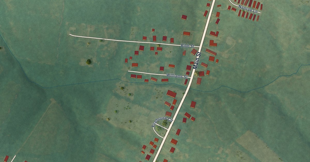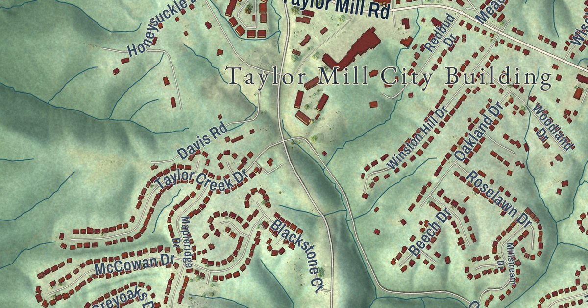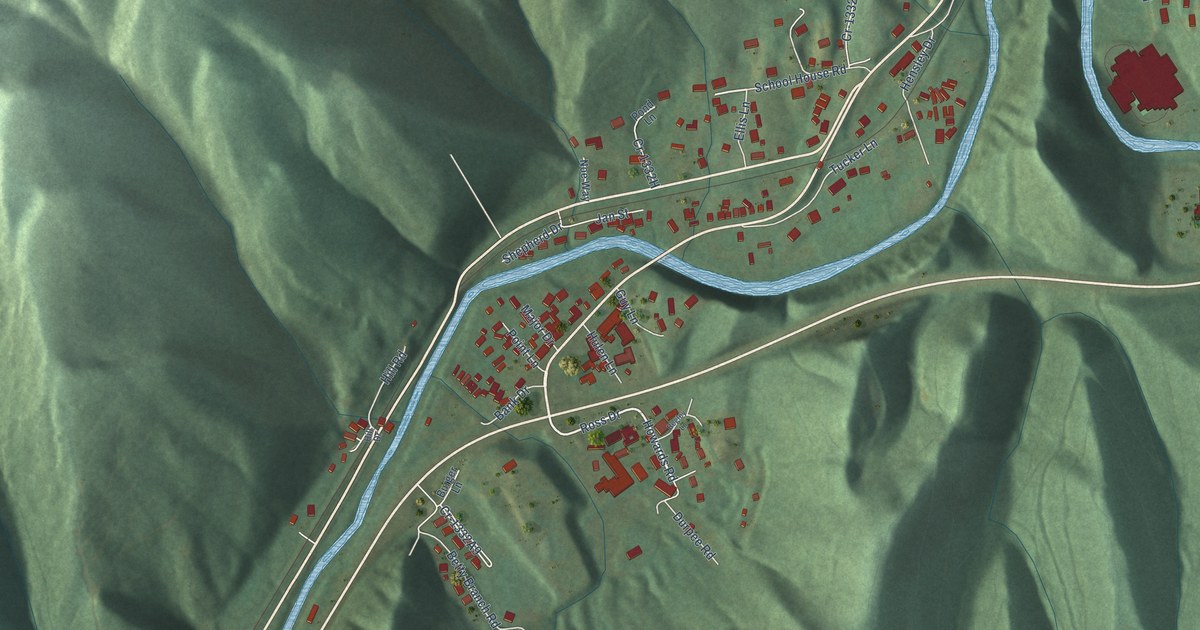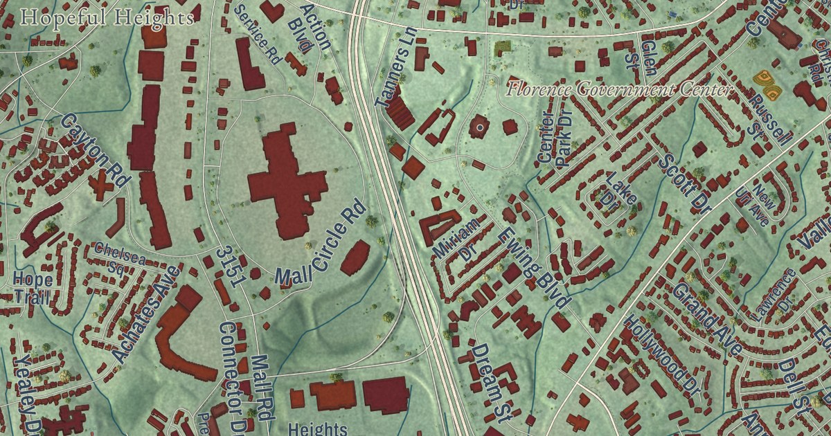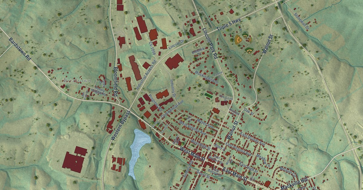
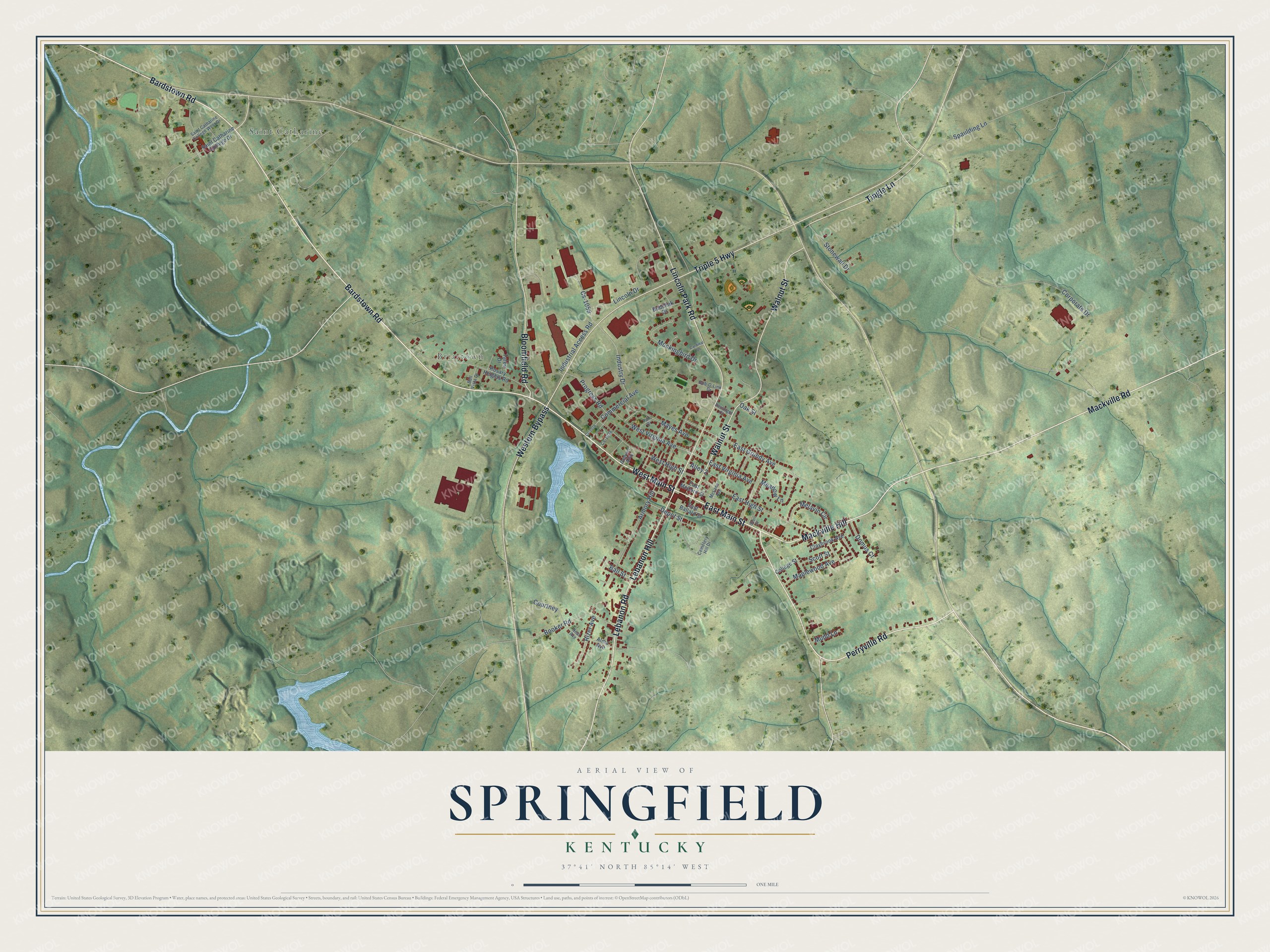
This beautifully detailed map of Springfield, Kentucky was created in 2026 using aerial imagery combined with modern topographical, census, street and landmark data. It’s a one-of-a-kind view of Springfield that combines accurate data with a vintage aesthetic. The map shows every building in its true location, many of the roads carry their names, and the shaded topographic relief shows the shape of the land.
Explore an aerial view of Springfield, Kentucky
On the map you’ll find Saint Catharine, Briartown, and Lebanon Hill, along with Bardstown Road, Mackville Road, Perryville Road, West Main Street, Lebanon Road, Walnut Street, Lincoln Park Road, Triple 5 Highway, Western Bypass, and more. If you look closely you can even find your house accurately drawn in its correct location. Zoom in on the preview to look for yours.
Did you know this piece of Springfield, Kentucky history?
From the National Register of Historic Places: "The County's first justices of the peace met at a private residence until 1793, when Springfield, the county seat, was established, and a log courthouse was erected. The first log building burned eleven months after it was completed."
Take a closer look at the Springfield map
Street and place names on the Springfield, Kentucky map
These names are printed on the map of Springfield, Kentucky.
Places: Saint Catharine and Briartown.
Streets and roads: Bardstown Road, Mackville Road, Perryville Road, West Main Street, Lebanon Hill, Lebanon Road, Walnut Street, Lincoln Park Road, Triple 5 Highway, Western Bypass, Bloomfield Road, East Main Street.
More street names, A to Z
Alley 2, Alma Avenue, Armory Hill, Ball Street, Bell Vista Drive, Bob-O-Link Drive, Bobolink Drive, Booker Road, Cardinal Drive, Cemetery Hill Drive, Claybrook Avenue, College Street, Commercial Avenue, Corporate Drive, Courtney, Cs-1016, Cs-1028, Cs-1058, Depot Street, Derringer Court, Dominic Alley, Domus Court, East Ballard Street, East Grundy Avenue, East High Street, East McCord Street, East Virginia Avenue, Fair Drive, Industrial Access Road, Industry Drive, Lincoln Drive, Mackville Hill, Maplewood Avenue, Mayes Avenue, McLane Avenue, Meadow Lane, Melavin Circle, Mockingbird Drive, Mudd Lane, Neal Avenue, Oak Street, Progress Road, Rizer Avenue, Rosary Heights Road, Saint Catharine College Drive, Saint Catharine College West Drive, Scott Street, Short Street, Spaulding Lane, Stonewall Drive, Tates Drive, Tingle Lane, West High Street, West Virginia Avenue.
See the Springfield, Kentucky map on a wall
The Springfield map as an 18 x 24 inch print in a black frame.

This beautifully detailed map of Springfield makes an attractive addition to your office, library, or den, and it can even be used to teach children the geography and history of the area. It also makes a great gift for someone who left Springfield and still calls it home. When you’re done exploring, click here to get your copy of the Springfield map.